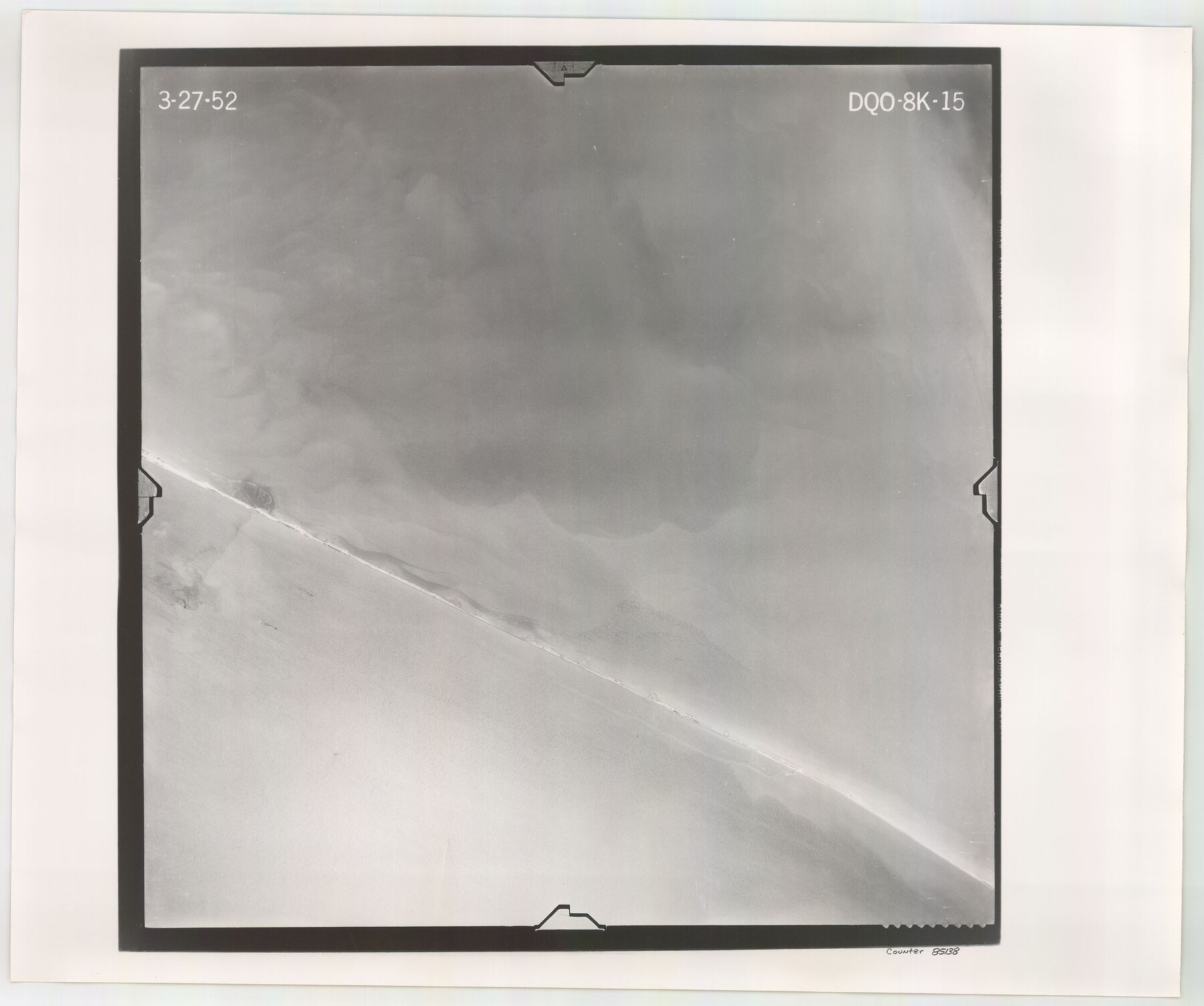
Flight Mission No. DQO-8K, Frame 15, Galveston County
DQO-8K-15
-
Map/Doc
85138
-
Collection
General Map Collection
-
Object Dates
1952/3/27 (Creation Date)
-
People and Organizations
U. S. Department of Agriculture (Publisher)
-
Counties
Galveston
-
Subjects
Aerial Photograph
-
Height x Width
18.7 x 22.4 inches
47.5 x 56.9 cm
-
Comments
Flown by Aero Exploration Company of Tulsa, Oklahoma.
Part of: General Map Collection
Flight Mission No. DAH-9M, Frame 205, Orange County

Print $20.00
- Digital $50.00
Flight Mission No. DAH-9M, Frame 205, Orange County
1953
Size 18.7 x 22.6 inches
Map/Doc 86873
Archer County Rolled Sketch B2

Print $20.00
- Digital $50.00
Archer County Rolled Sketch B2
1891
Size 36.7 x 30.7 inches
Map/Doc 5105
Flight Mission No. BRA-8M, Frame 68, Jefferson County

Print $20.00
- Digital $50.00
Flight Mission No. BRA-8M, Frame 68, Jefferson County
1953
Size 18.6 x 22.4 inches
Map/Doc 85588
Borden County Rolled Sketch 10

Print $40.00
- Digital $50.00
Borden County Rolled Sketch 10
1952
Size 110.6 x 29.8 inches
Map/Doc 8449
Llano County Working Sketch 9

Print $20.00
- Digital $50.00
Llano County Working Sketch 9
1979
Size 33.4 x 24.0 inches
Map/Doc 70627
Water-Shed of the Brazos River

Print $40.00
- Digital $50.00
Water-Shed of the Brazos River
1925
Size 35.0 x 88.0 inches
Map/Doc 65263
Flight Mission No. CUG-3P, Frame 193, Kleberg County

Print $20.00
- Digital $50.00
Flight Mission No. CUG-3P, Frame 193, Kleberg County
1956
Size 18.4 x 22.3 inches
Map/Doc 86297
Travis County Rolled Sketch 22

Print $20.00
- Digital $50.00
Travis County Rolled Sketch 22
1937
Size 23.4 x 26.1 inches
Map/Doc 8023
Johnson County Working Sketch 6

Print $20.00
- Digital $50.00
Johnson County Working Sketch 6
1951
Size 30.6 x 32.6 inches
Map/Doc 66619
Bexar County Rolled Sketch 1

Print $20.00
- Digital $50.00
Bexar County Rolled Sketch 1
1940
Size 23.1 x 26.2 inches
Map/Doc 5134
Atascosa County Rolled Sketch 18

Print $20.00
- Digital $50.00
Atascosa County Rolled Sketch 18
1955
Size 17.6 x 23.9 inches
Map/Doc 5098
Wilson County Boundary File 5a

Print $20.00
- Digital $50.00
Wilson County Boundary File 5a
Size 12.0 x 28.0 inches
Map/Doc 60118
You may also like
Right of Way and Track Map of The Missouri, Kansas & Texas Railway of Texas

Print $40.00
- Digital $50.00
Right of Way and Track Map of The Missouri, Kansas & Texas Railway of Texas
1918
Size 24.9 x 53.1 inches
Map/Doc 64537
Montgomery County, Texas

Print $20.00
- Digital $50.00
Montgomery County, Texas
1880
Size 24.6 x 27.6 inches
Map/Doc 582

Goliad County Sketch File Y

Print $20.00
- Digital $50.00
Goliad County Sketch File Y
1894
Size 14.1 x 12.1 inches
Map/Doc 11574
Flight Mission No. DAG-17K, Frame 137, Matagorda County

Print $20.00
- Digital $50.00
Flight Mission No. DAG-17K, Frame 137, Matagorda County
1952
Size 16.5 x 16.2 inches
Map/Doc 86354
McCulloch County Sketch File 3

Print $12.00
- Digital $50.00
McCulloch County Sketch File 3
1893
Size 11.1 x 8.5 inches
Map/Doc 31169
Eastland County Working Sketch 51

Print $20.00
- Digital $50.00
Eastland County Working Sketch 51
1982
Size 37.7 x 39.6 inches
Map/Doc 68832
Wheeler County

Print $20.00
- Digital $50.00
Wheeler County
1932
Size 41.7 x 38.0 inches
Map/Doc 73322
Coke County Sketch File 31

Print $4.00
- Digital $50.00
Coke County Sketch File 31
Size 14.1 x 8.8 inches
Map/Doc 18643
The Peters Colony. August 30, 1841

Print $20.00
The Peters Colony. August 30, 1841
2020
Size 21.7 x 21.7 inches
Map/Doc 96362
Map of Parker County

Print $20.00
- Digital $50.00
Map of Parker County
1871
Size 20.1 x 17.0 inches
Map/Doc 3944
[T. & P. Blocks 43-45, Townships 1S and 1N]
![90878, [T. & P. Blocks 43-45, Townships 1S and 1N], Twichell Survey Records](https://historictexasmaps.com/wmedia_w700/maps/90878-2.tif.jpg)
Print $20.00
- Digital $50.00
[T. & P. Blocks 43-45, Townships 1S and 1N]
Size 22.9 x 18.0 inches
Map/Doc 90878