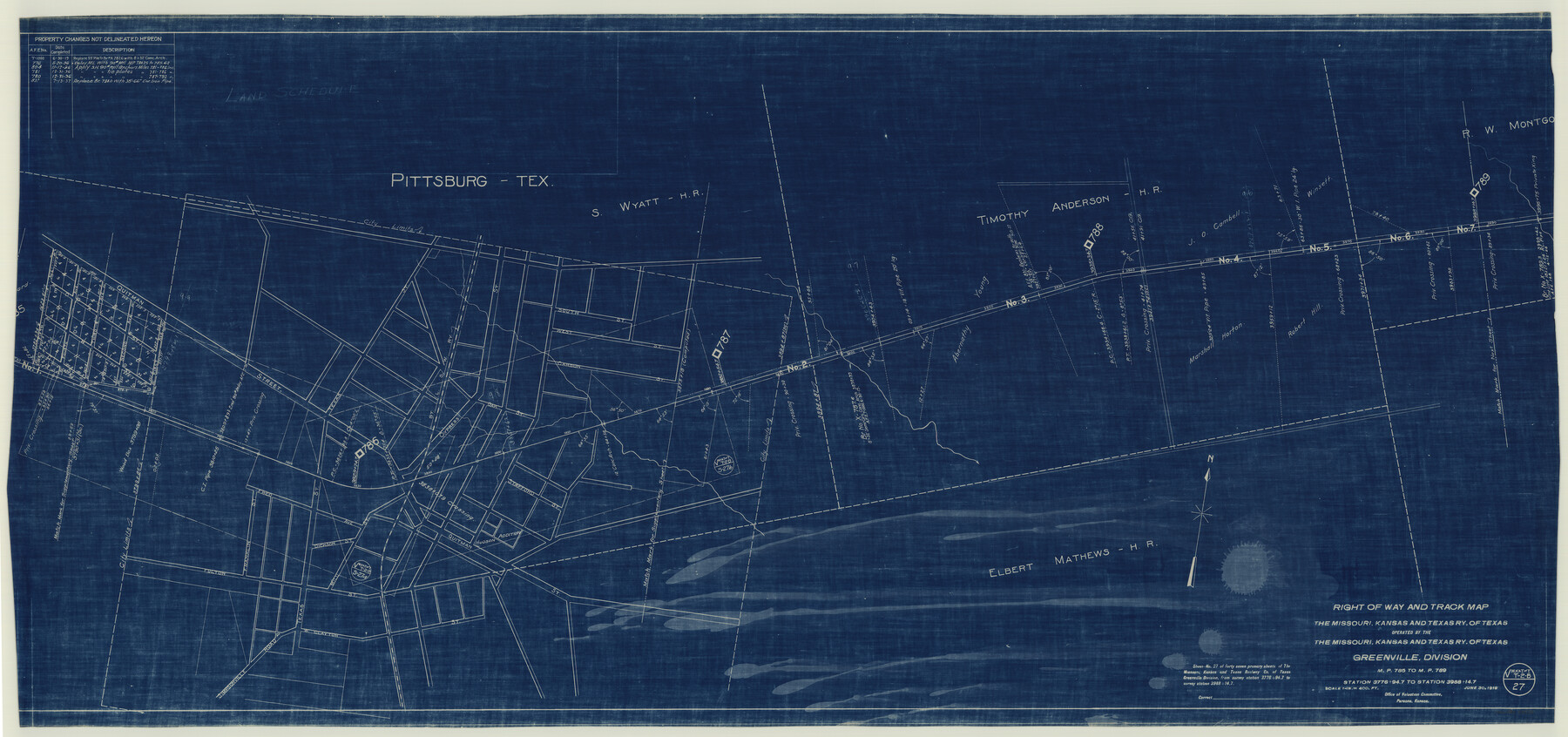
Right of Way and Track Map of The Missouri, Kansas & Texas Railway of Texas
Z-2-163
-
Map/Doc
64537
-
Collection
General Map Collection
-
Object Dates
1918/6/30 (Creation Date)
-
Counties
Titus Franklin Wood Camp
-
Subjects
Railroads
-
Height x Width
24.9 x 53.1 inches
63.2 x 134.9 cm
-
Medium
blueprint/diazo
-
Scale
1 in. = 400 ft.
-
Comments
Greenville Division. See counter nos. 64534 through 64538 for other sheets of the map.
-
Features
Franklin Street
South Street
West Street
Carson Street
Oak Street
Cypress Street
Stafford Street
W. Clayton Street
Simpsonville Road
Texas Street
Fred Avenue
Dickson Street
Mill Street
MK&T
Fulton Street
C Street
B Street
A Street
First Avenue
Second Avenue
Third Avenue
Fourth Avenue
Fifth Avenue
Quitman Street
SLS
Pittsburg
Part of: General Map Collection
Jasper County Sketch File 7

Print $22.00
- Digital $50.00
Jasper County Sketch File 7
Size 12.4 x 15.4 inches
Map/Doc 27775

Jasper County Sketch File 26

Print $16.00
- Digital $50.00
Jasper County Sketch File 26
1944
Size 11.2 x 8.8 inches
Map/Doc 27834
Flight Mission No. BRE-3P, Frame 95, Nueces County

Print $20.00
- Digital $50.00
Flight Mission No. BRE-3P, Frame 95, Nueces County
1956
Size 18.4 x 22.3 inches
Map/Doc 86826
Nolan County Sketch File 10

Print $6.00
- Digital $50.00
Nolan County Sketch File 10
1902
Size 14.2 x 9.0 inches
Map/Doc 32484
Galveston County Working Sketch 6

Print $20.00
- Digital $50.00
Galveston County Working Sketch 6
1934
Size 43.5 x 38.0 inches
Map/Doc 69343
El Paso County Sketch File 35 (2)

Print $18.00
- Digital $50.00
El Paso County Sketch File 35 (2)
1886
Size 12.9 x 8.3 inches
Map/Doc 22170
[Maps of surveys in Reeves & Culberson Cos]
![61129, [Maps of surveys in Reeves & Culberson Cos], General Map Collection](https://historictexasmaps.com/wmedia_w700/maps/61129.tif.jpg)
Print $20.00
- Digital $50.00
[Maps of surveys in Reeves & Culberson Cos]
1937
Size 30.7 x 25.0 inches
Map/Doc 61129
Motley County Sketch File 17 (N)

Print $4.00
- Digital $50.00
Motley County Sketch File 17 (N)
1913
Size 8.7 x 7.8 inches
Map/Doc 32060
Marion County Rolled Sketch 1A

Print $15.00
- Digital $50.00
Marion County Rolled Sketch 1A
1954
Size 9.9 x 15.2 inches
Map/Doc 46610
Duval County Working Sketch 50

Print $20.00
- Digital $50.00
Duval County Working Sketch 50
1984
Size 38.0 x 32.0 inches
Map/Doc 68774
Lynn County Rolled Sketch 11

Print $20.00
- Digital $50.00
Lynn County Rolled Sketch 11
1940
Size 14.2 x 16.4 inches
Map/Doc 6647
You may also like
Kinney County Working Sketch 14

Print $20.00
- Digital $50.00
Kinney County Working Sketch 14
1946
Size 20.8 x 28.5 inches
Map/Doc 70196
Bell County Sketch File 35

Print $40.00
- Digital $50.00
Bell County Sketch File 35
1952
Size 22.0 x 24.3 inches
Map/Doc 10918
[S. Abercrom and surrounding surveys]
![91016, [S. Abercrom and surrounding surveys], Twichell Survey Records](https://historictexasmaps.com/wmedia_w700/maps/91016-1.tif.jpg)
Print $20.00
- Digital $50.00
[S. Abercrom and surrounding surveys]
Size 27.7 x 21.7 inches
Map/Doc 91016
Map of Hamilton County

Print $20.00
- Digital $50.00
Map of Hamilton County
1872
Size 14.6 x 21.7 inches
Map/Doc 3620
Freestone County Rolled Sketch 2

Print $20.00
- Digital $50.00
Freestone County Rolled Sketch 2
1952
Size 27.1 x 30.2 inches
Map/Doc 5910
Map of a portion of the City of Galveston, Texas showing proposed location of Sea Wall and Right of Way to be obtained

Print $20.00
- Digital $50.00
Map of a portion of the City of Galveston, Texas showing proposed location of Sea Wall and Right of Way to be obtained
1902
Size 16.5 x 38.5 inches
Map/Doc 73625
San Luis Pass to East Matagorda Bay

Print $20.00
- Digital $50.00
San Luis Pass to East Matagorda Bay
1969
Size 35.1 x 47.0 inches
Map/Doc 69966
F. Z. Bishop's Subdivision of C. C. Slaughter Ranch

Print $20.00
- Digital $50.00
F. Z. Bishop's Subdivision of C. C. Slaughter Ranch
Size 20.6 x 19.2 inches
Map/Doc 92305
Flight Mission No. BRA-8M, Frame 65, Jefferson County

Print $20.00
- Digital $50.00
Flight Mission No. BRA-8M, Frame 65, Jefferson County
1953
Size 18.6 x 22.4 inches
Map/Doc 85585
Dimmit County Sketch File 11a

Print $20.00
- Digital $50.00
Dimmit County Sketch File 11a
1880
Size 12.9 x 18.7 inches
Map/Doc 11339
El Paso County Sketch File 35 (6)

Print $20.00
- Digital $50.00
El Paso County Sketch File 35 (6)
1886
Size 20.3 x 36.9 inches
Map/Doc 11460
El Paso County Working Sketch 46

Print $20.00
- Digital $50.00
El Paso County Working Sketch 46
1987
Size 38.3 x 37.5 inches
Map/Doc 69068