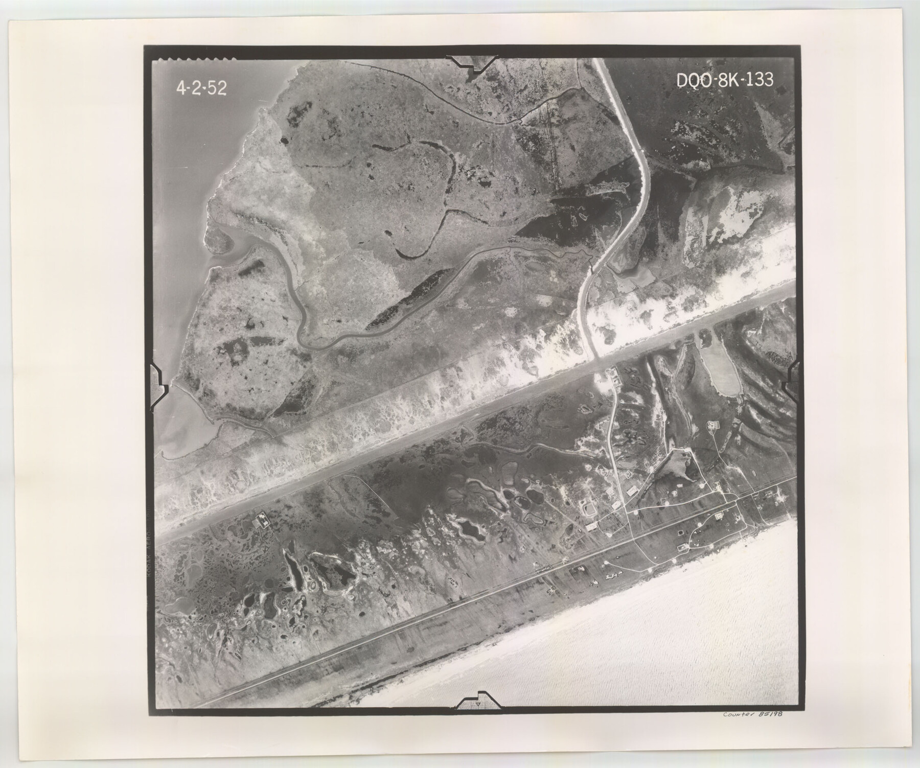
Flight Mission No. DQO-8K, Frame 133, Galveston County
DQO-8K-133
-
Map/Doc
85198
-
Collection
General Map Collection
-
Object Dates
1952/4/2 (Creation Date)
-
People and Organizations
U. S. Department of Agriculture (Publisher)
-
Counties
Galveston
-
Subjects
Aerial Photograph
-
Height x Width
18.8 x 22.5 inches
47.8 x 57.2 cm
-
Comments
Flown by Aero Exploration Company of Tulsa, Oklahoma.
Part of: General Map Collection
Jim Hogg County

Print $20.00
- Digital $50.00
Jim Hogg County
1962
Size 43.0 x 31.4 inches
Map/Doc 95547
Harris County Working Sketch 33

Print $20.00
- Digital $50.00
Harris County Working Sketch 33
1937
Size 21.4 x 20.6 inches
Map/Doc 65925
Map of Harris County

Print $40.00
- Digital $50.00
Map of Harris County
1896
Size 50.0 x 68.7 inches
Map/Doc 4675
Flight Mission No. DQN-1K, Frame 73, Calhoun County

Print $20.00
- Digital $50.00
Flight Mission No. DQN-1K, Frame 73, Calhoun County
1953
Size 18.5 x 22.2 inches
Map/Doc 84160
Titus County Working Sketch Graphic Index

Print $20.00
- Digital $50.00
Titus County Working Sketch Graphic Index
1948
Size 40.2 x 29.0 inches
Map/Doc 76714
Chambers County Rolled Sketch 21

Print $20.00
- Digital $50.00
Chambers County Rolled Sketch 21
1940
Size 40.9 x 41.0 inches
Map/Doc 8589
Sterling County Rolled Sketch 35

Print $20.00
- Digital $50.00
Sterling County Rolled Sketch 35
1960
Size 20.8 x 21.8 inches
Map/Doc 7859
Harris County Historic Topographic 35

Print $20.00
- Digital $50.00
Harris County Historic Topographic 35
1915
Size 19.6 x 23.6 inches
Map/Doc 65846
Edwards County Rolled Sketch 9

Print $20.00
- Digital $50.00
Edwards County Rolled Sketch 9
1885
Size 29.3 x 42.8 inches
Map/Doc 5802
Hardin County Rolled Sketch 13

Print $20.00
- Digital $50.00
Hardin County Rolled Sketch 13
Size 36.0 x 42.3 inches
Map/Doc 9187
Dawson County Working Sketch 11

Print $20.00
- Digital $50.00
Dawson County Working Sketch 11
1946
Size 25.3 x 21.9 inches
Map/Doc 68555
Sutton County Working Sketch 63

Print $20.00
- Digital $50.00
Sutton County Working Sketch 63
1961
Size 26.0 x 29.9 inches
Map/Doc 62406
You may also like
Webb County Rolled Sketch 65

Print $20.00
- Digital $50.00
Webb County Rolled Sketch 65
1949
Size 37.1 x 24.3 inches
Map/Doc 8214
Upton County Rolled Sketch 26

Print $20.00
- Digital $50.00
Upton County Rolled Sketch 26
1942
Size 35.7 x 37.2 inches
Map/Doc 10045
Erath County Sketch File 34

Print $12.00
- Digital $50.00
Erath County Sketch File 34
1989
Size 14.3 x 8.9 inches
Map/Doc 22320
Polk County Sketch File 8

Print $4.00
- Digital $50.00
Polk County Sketch File 8
1859
Size 10.9 x 8.4 inches
Map/Doc 34134
Flight Mission No. DQO-8K, Frame 80, Galveston County

Print $20.00
- Digital $50.00
Flight Mission No. DQO-8K, Frame 80, Galveston County
1952
Size 18.8 x 22.5 inches
Map/Doc 85184
El Paso County Rolled Sketch 52

Print $20.00
- Digital $50.00
El Paso County Rolled Sketch 52
1929
Size 19.1 x 24.3 inches
Map/Doc 5850
Concho County Boundary File 2

Print $30.00
- Digital $50.00
Concho County Boundary File 2
Size 12.7 x 8.3 inches
Map/Doc 51814
Frio County Sketch File 1

Print $8.00
- Digital $50.00
Frio County Sketch File 1
1848
Size 8.6 x 7.7 inches
Map/Doc 23101
Harris County State Real Property Sketch 6

Print $20.00
- Digital $50.00
Harris County State Real Property Sketch 6
Size 23.6 x 35.9 inches
Map/Doc 96641
Dawson County Rolled Sketch 6

Print $20.00
- Digital $50.00
Dawson County Rolled Sketch 6
1913
Size 22.0 x 30.1 inches
Map/Doc 8771
Hale County Rolled Sketch 10

Print $40.00
- Digital $50.00
Hale County Rolled Sketch 10
Size 52.4 x 28.3 inches
Map/Doc 76447
