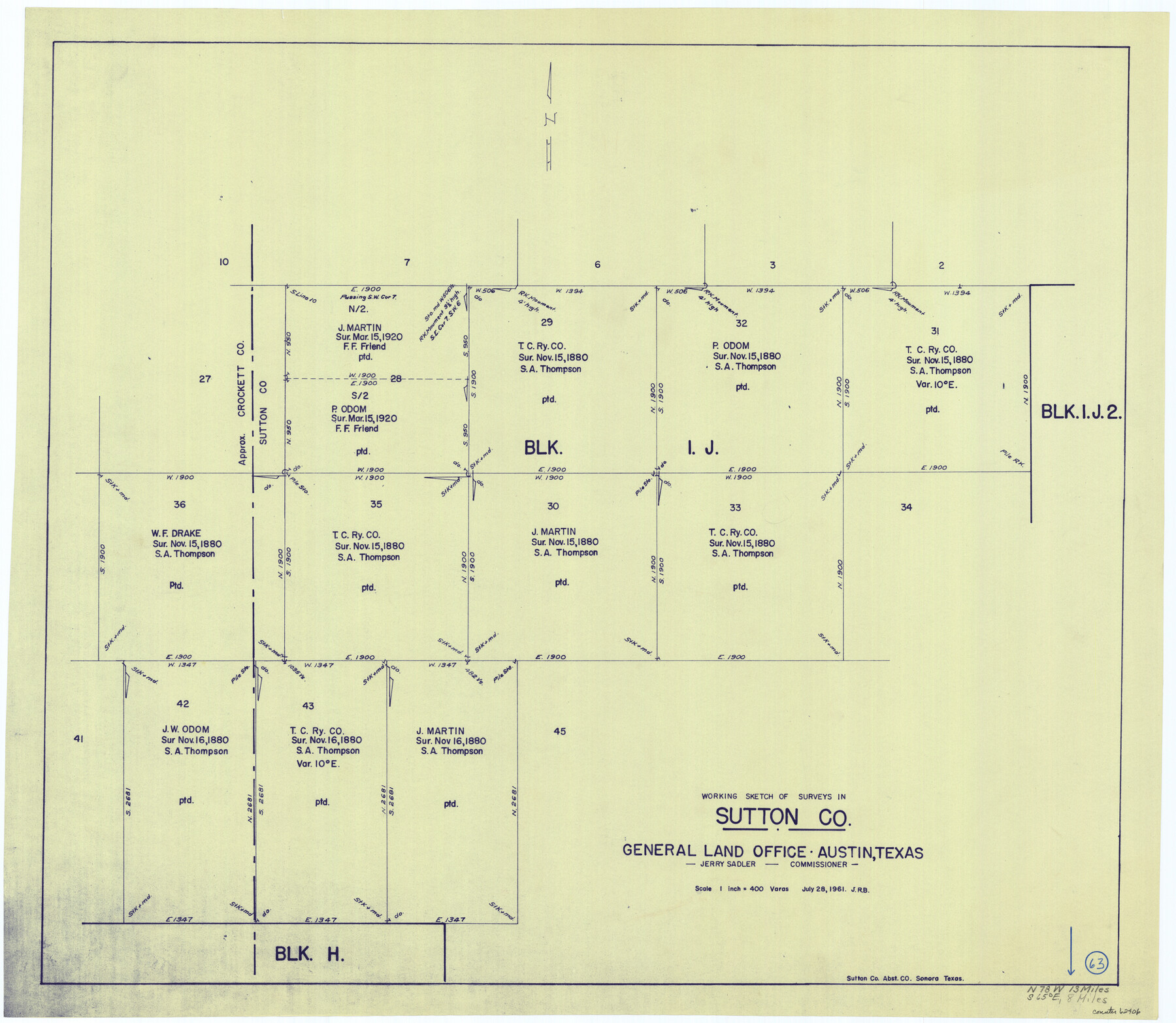
Sutton County Working Sketch 63
-
Map/Doc
62406
-
Collection
General Map Collection
-
Object Dates
7/28/1961 (Creation Date)
-
Counties
Sutton Crockett
-
Subjects
Surveying Working Sketch
-
Height x Width
26.0 x 29.9 inches
66.0 x 76.0 cm
-
Scale
1" = 400 varas
Part of: General Map Collection
Brewster County Rolled Sketch 22C

Print $20.00
- Digital $50.00
Brewster County Rolled Sketch 22C
1910
Size 23.7 x 18.8 inches
Map/Doc 5204
Le Nouveau Mexique avec la partie Septentrionale de l'Ancien ou de la Nouvelle Espagne

Print $20.00
- Digital $50.00
Le Nouveau Mexique avec la partie Septentrionale de l'Ancien ou de la Nouvelle Espagne
1780
Size 10.0 x 14.4 inches
Map/Doc 97277
Van Zandt County Rolled Sketch 4

Print $20.00
- Digital $50.00
Van Zandt County Rolled Sketch 4
1946
Size 34.7 x 35.5 inches
Map/Doc 10645
McMullen County Working Sketch 59

Print $20.00
- Digital $50.00
McMullen County Working Sketch 59
1984
Size 24.0 x 27.7 inches
Map/Doc 70760
Flight Mission No. CLL-1N, Frame 197, Willacy County

Print $20.00
- Digital $50.00
Flight Mission No. CLL-1N, Frame 197, Willacy County
1954
Size 18.4 x 22.1 inches
Map/Doc 87067
Flight Mission No. DQN-2K, Frame 24, Calhoun County

Print $20.00
- Digital $50.00
Flight Mission No. DQN-2K, Frame 24, Calhoun County
1953
Size 18.6 x 22.2 inches
Map/Doc 84231
Harris County Rolled Sketch 85

Print $20.00
- Digital $50.00
Harris County Rolled Sketch 85
1968
Size 22.0 x 32.0 inches
Map/Doc 6119
Flight Mission No. CGI-3N, Frame 76, Cameron County

Print $20.00
- Digital $50.00
Flight Mission No. CGI-3N, Frame 76, Cameron County
1954
Size 18.5 x 22.1 inches
Map/Doc 84570
Nueces County Aerial Photograph Index Sheet 22

Print $20.00
- Digital $50.00
Nueces County Aerial Photograph Index Sheet 22
1938
Size 24.5 x 20.3 inches
Map/Doc 86843
International boundary between U.S. & Mexico in Gulf of Mexico from 12 mile point easterly to 200 mile limit

Print $3.00
- Digital $50.00
International boundary between U.S. & Mexico in Gulf of Mexico from 12 mile point easterly to 200 mile limit
1976
Size 9.6 x 14.8 inches
Map/Doc 1748
Routes to HemisFair '68 : World's Fair, San Antonio, Texas, April 6 through Oct. 6, 1968 [Verso]
![94169, Hemisfair Gulf Tourgide Map [Verso], General Map Collection](https://historictexasmaps.com/wmedia_w700/maps/94169.tif.jpg)
Routes to HemisFair '68 : World's Fair, San Antonio, Texas, April 6 through Oct. 6, 1968 [Verso]
Size 18.3 x 24.3 inches
Map/Doc 94169
Flight Mission No. DAG-23K, Frame 143, Matagorda County

Print $20.00
- Digital $50.00
Flight Mission No. DAG-23K, Frame 143, Matagorda County
1953
Size 15.8 x 15.7 inches
Map/Doc 86491
You may also like
Travis County State Real Property Sketch 8

Print $20.00
- Digital $50.00
Travis County State Real Property Sketch 8
1996
Size 30.5 x 42.6 inches
Map/Doc 77192
Wise County Working Sketch 26

Print $20.00
- Digital $50.00
Wise County Working Sketch 26
1987
Size 25.8 x 33.7 inches
Map/Doc 72640
University of Texas System University Lands

Print $20.00
- Digital $50.00
University of Texas System University Lands
Size 17.7 x 23.2 inches
Map/Doc 93242

[Nathaniel H. Cochran Survey and Vicinity]
![91498, [Nathaniel H. Cochran Survey and Vicinity], Twichell Survey Records](https://historictexasmaps.com/wmedia_w700/maps/91498-1.tif.jpg)
Print $20.00
- Digital $50.00
[Nathaniel H. Cochran Survey and Vicinity]
Size 25.4 x 18.7 inches
Map/Doc 91498
Amistad International Reservoir on Rio Grande 97

Print $20.00
- Digital $50.00
Amistad International Reservoir on Rio Grande 97
1950
Size 28.5 x 41.1 inches
Map/Doc 75528
Map of survey Nos. 2, 14, 12 & 20, A. & N. W. R.R. Co. and connections

Print $20.00
- Digital $50.00
Map of survey Nos. 2, 14, 12 & 20, A. & N. W. R.R. Co. and connections
1904
Size 16.9 x 32.7 inches
Map/Doc 75811
Map of Starr County

Print $20.00
- Digital $50.00
Map of Starr County
1880
Size 46.8 x 27.0 inches
Map/Doc 4044
General Highway Map, Camp County, Morris County, Titus County, Texas

Print $20.00
General Highway Map, Camp County, Morris County, Titus County, Texas
1961
Size 24.7 x 18.1 inches
Map/Doc 79400
Jack County Working Sketch 1

Print $20.00
- Digital $50.00
Jack County Working Sketch 1
Size 28.4 x 27.1 inches
Map/Doc 66427
Colonists' and Emigrants' Route to Texas

Print $20.00
- Digital $50.00
Colonists' and Emigrants' Route to Texas
1878
Size 14.8 x 24.0 inches
Map/Doc 94033
[Surveys in the vicinity of Archibald Smith's Survey and the Cyrena McReara Survey]
![92118, [Surveys in the vicinity of Archibald Smith's Survey and the Cyrena McReara Survey], Twichell Survey Records](https://historictexasmaps.com/wmedia_w700/maps/92118-1.tif.jpg)
Print $20.00
- Digital $50.00
[Surveys in the vicinity of Archibald Smith's Survey and the Cyrena McReara Survey]
Size 27.8 x 32.5 inches
Map/Doc 92118