[Surveys in the vicinity of Archibald Smith's Survey and the Cyrena McReara Survey]
-
Map/Doc
92118
-
Collection
Twichell Survey Records
-
Counties
Shelby
-
Height x Width
27.8 x 32.5 inches
70.6 x 82.6 cm
Part of: Twichell Survey Records
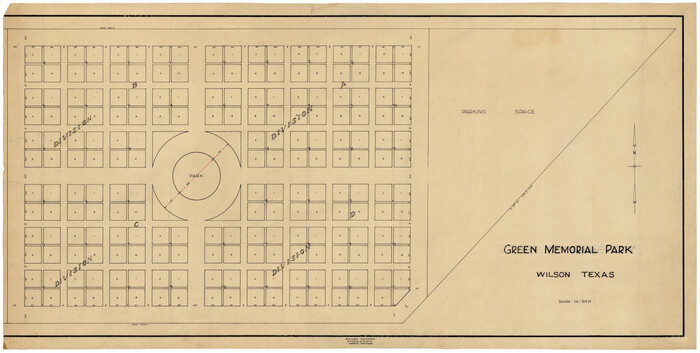
Green Memorial Park

Print $20.00
- Digital $50.00
Green Memorial Park
Size 41.4 x 20.9 inches
Map/Doc 92937
[County map showing Texas State Capitol Land and surrounding areas]
![93141, [County map showing Texas State Capitol Land and surrounding areas], Twichell Survey Records](https://historictexasmaps.com/wmedia_w700/maps/93141-1.tif.jpg)
![93141, [County map showing Texas State Capitol Land and surrounding areas], Twichell Survey Records](https://historictexasmaps.com/wmedia_w700/maps/93141-1.tif.jpg)
Print $40.00
- Digital $50.00
[County map showing Texas State Capitol Land and surrounding areas]
Size 51.5 x 66.7 inches
Map/Doc 93141
Blks. A, T2, T3, S3, K13 and vicinity]
![92195, Blks. A, T2, T3, S3, K13 and vicinity], Twichell Survey Records](https://historictexasmaps.com/wmedia_w700/maps/92195-1.tif.jpg)
![92195, Blks. A, T2, T3, S3, K13 and vicinity], Twichell Survey Records](https://historictexasmaps.com/wmedia_w700/maps/92195-1.tif.jpg)
Print $20.00
- Digital $50.00
Blks. A, T2, T3, S3, K13 and vicinity]
Size 13.8 x 13.6 inches
Map/Doc 92195
[North line of County]
![93142, [North line of County], Twichell Survey Records](https://historictexasmaps.com/wmedia_w700/maps/93142-1.tif.jpg)
![93142, [North line of County], Twichell Survey Records](https://historictexasmaps.com/wmedia_w700/maps/93142-1.tif.jpg)
Print $40.00
- Digital $50.00
[North line of County]
Size 120.1 x 7.0 inches
Map/Doc 93142
Map and Field Notes of D. & N. T. RR. Through E. L. Ellwood's Pasture


Print $20.00
- Digital $50.00
Map and Field Notes of D. & N. T. RR. Through E. L. Ellwood's Pasture
1912
Size 39.5 x 12.1 inches
Map/Doc 91003
Sketch in Hockley County, Texas


Print $20.00
- Digital $50.00
Sketch in Hockley County, Texas
Size 10.7 x 31.4 inches
Map/Doc 91199
[Northwest part of County]
![90616, [Northwest part of County], Twichell Survey Records](https://historictexasmaps.com/wmedia_w700/maps/90616-1.tif.jpg)
![90616, [Northwest part of County], Twichell Survey Records](https://historictexasmaps.com/wmedia_w700/maps/90616-1.tif.jpg)
Print $20.00
- Digital $50.00
[Northwest part of County]
Size 17.4 x 22.5 inches
Map/Doc 90616
[Sketch showing Block H, Section 11 of Roberts County, including the south bank of the Canadian River]
![91761, [Sketch showing Block H, Section 11 of Roberts County, including the south bank of the Canadian River], Twichell Survey Records](https://historictexasmaps.com/wmedia_w700/maps/91761-1.tif.jpg)
![91761, [Sketch showing Block H, Section 11 of Roberts County, including the south bank of the Canadian River], Twichell Survey Records](https://historictexasmaps.com/wmedia_w700/maps/91761-1.tif.jpg)
Print $2.00
- Digital $50.00
[Sketch showing Block H, Section 11 of Roberts County, including the south bank of the Canadian River]
1919
Size 14.4 x 8.8 inches
Map/Doc 91761
[Blk. B, part of Blk. M, and north line of Morris County School Land]
![90359, [Blk. B, part of Blk. M, and north line of Morris County School Land], Twichell Survey Records](https://historictexasmaps.com/wmedia_w700/maps/90359-1.tif.jpg)
![90359, [Blk. B, part of Blk. M, and north line of Morris County School Land], Twichell Survey Records](https://historictexasmaps.com/wmedia_w700/maps/90359-1.tif.jpg)
Print $20.00
- Digital $50.00
[Blk. B, part of Blk. M, and north line of Morris County School Land]
Size 23.9 x 22.7 inches
Map/Doc 90359
[Block M, Block 35, Township 6 North]
![92634, [Block M, Block 35, Township 6 North], Twichell Survey Records](https://historictexasmaps.com/wmedia_w700/maps/92634-1.tif.jpg)
![92634, [Block M, Block 35, Township 6 North], Twichell Survey Records](https://historictexasmaps.com/wmedia_w700/maps/92634-1.tif.jpg)
Print $20.00
- Digital $50.00
[Block M, Block 35, Township 6 North]
Size 37.5 x 27.3 inches
Map/Doc 92634
[Sketch showing Blocks 1, B18 and E.L. & RR. Co. Blocks 2, 8 and 97]
![89950, [Sketch showing Blocks 1, B18 and E.L. & RR. Co. Blocks 2, 8 and 97], Twichell Survey Records](https://historictexasmaps.com/wmedia_w700/maps/89950-1.tif.jpg)
![89950, [Sketch showing Blocks 1, B18 and E.L. & RR. Co. Blocks 2, 8 and 97], Twichell Survey Records](https://historictexasmaps.com/wmedia_w700/maps/89950-1.tif.jpg)
Print $40.00
- Digital $50.00
[Sketch showing Blocks 1, B18 and E.L. & RR. Co. Blocks 2, 8 and 97]
Size 55.1 x 44.9 inches
Map/Doc 89950
You may also like
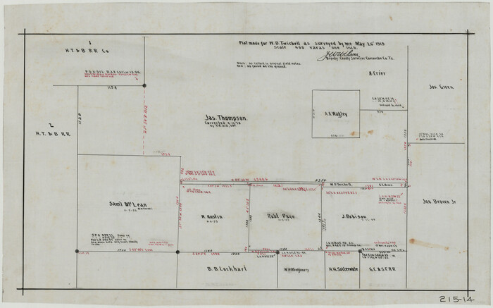
Plat made for W. D. Twichell

Print $20.00
- Digital $50.00
Plat made for W. D. Twichell
1919
Size 25.0 x 15.7 inches
Map/Doc 91916
Baylor County Working Sketch 4


Print $20.00
- Digital $50.00
Baylor County Working Sketch 4
1938
Size 30.4 x 21.0 inches
Map/Doc 67289
[Part of Block M6]
![91933, [Part of Block M6], Twichell Survey Records](https://historictexasmaps.com/wmedia_w700/maps/91933-1.tif.jpg)
![91933, [Part of Block M6], Twichell Survey Records](https://historictexasmaps.com/wmedia_w700/maps/91933-1.tif.jpg)
Print $20.00
- Digital $50.00
[Part of Block M6]
Size 31.5 x 6.7 inches
Map/Doc 91933
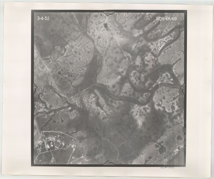
Flight Mission No. BQR-4K, Frame 69, Brazoria County

Print $20.00
- Digital $50.00
Flight Mission No. BQR-4K, Frame 69, Brazoria County
1952
Size 18.7 x 22.4 inches
Map/Doc 84002
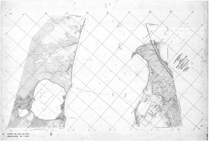
Texas, Copano Bay, Mission Bay and Fish Point

Print $40.00
- Digital $50.00
Texas, Copano Bay, Mission Bay and Fish Point
1934
Size 33.3 x 48.9 inches
Map/Doc 73433
Red River Co.


Print $20.00
- Digital $50.00
Red River Co.
1897
Size 46.8 x 36.0 inches
Map/Doc 16796
San Saba County Sketch File 19


Print $8.00
- Digital $50.00
San Saba County Sketch File 19
1873
Size 12.8 x 8.1 inches
Map/Doc 36466
Val Verde County Working Sketch 111


Print $20.00
- Digital $50.00
Val Verde County Working Sketch 111
1990
Size 40.1 x 24.8 inches
Map/Doc 72246
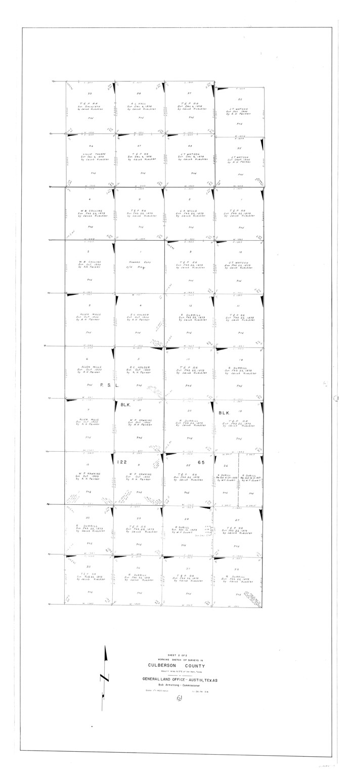
Culberson County Working Sketch 61

Print $40.00
- Digital $50.00
Culberson County Working Sketch 61
1974
Size 74.9 x 34.0 inches
Map/Doc 68515
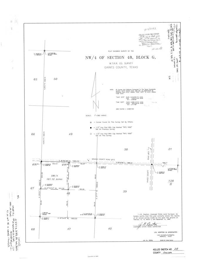
Gaines County Rolled Sketch 28

Print $20.00
- Digital $50.00
Gaines County Rolled Sketch 28
1989
Size 25.6 x 19.7 inches
Map/Doc 5941
Contracted Boundaries and Timeline of Mexican Empresario Colonies in Texas


Contracted Boundaries and Timeline of Mexican Empresario Colonies in Texas
2025
Size 17.0 x 11.0 inches
Map/Doc 97439
![92118, [Surveys in the vicinity of Archibald Smith's Survey and the Cyrena McReara Survey], Twichell Survey Records](https://historictexasmaps.com/wmedia_w1800h1800/maps/92118-1.tif.jpg)

