Working Sketch in Collingsworth County [showing East line of County along border with Oklahoma]
255-4
-
Map/Doc
92086
-
Collection
Twichell Survey Records
-
Object Dates
1/21/1910 (Creation Date)
-
Counties
Collingsworth
-
Height x Width
4.5 x 25.9 inches
11.4 x 65.8 cm
Part of: Twichell Survey Records
[Lamb County, Block A]
![90991, [Lamb County, Block A], Twichell Survey Records](https://historictexasmaps.com/wmedia_w700/maps/90991-1.tif.jpg)
![90991, [Lamb County, Block A], Twichell Survey Records](https://historictexasmaps.com/wmedia_w700/maps/90991-1.tif.jpg)
Print $20.00
- Digital $50.00
[Lamb County, Block A]
Size 22.9 x 17.9 inches
Map/Doc 90991
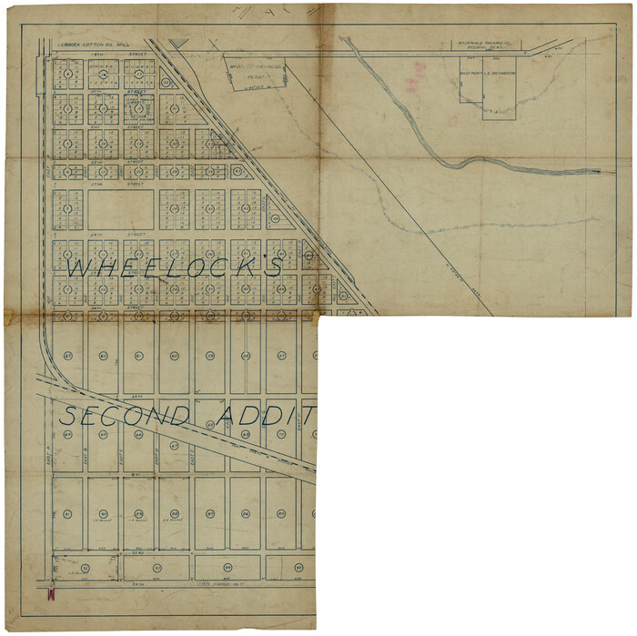
Wheelock's Second Addit(ion)

Print $20.00
- Digital $50.00
Wheelock's Second Addit(ion)
Size 31.5 x 32.3 inches
Map/Doc 92820
S. Part of Gomez


Print $20.00
- Digital $50.00
S. Part of Gomez
Size 23.5 x 19.6 inches
Map/Doc 92295
[Sketch showing Blocks B-11, O-18, P and Mc in case of Laneer vs. Bivens]
![91726, [Sketch showing Blocks B-11, O-18, P and Mc in case of Laneer vs. Bivens], Twichell Survey Records](https://historictexasmaps.com/wmedia_w700/maps/91726-1.tif.jpg)
![91726, [Sketch showing Blocks B-11, O-18, P and Mc in case of Laneer vs. Bivens], Twichell Survey Records](https://historictexasmaps.com/wmedia_w700/maps/91726-1.tif.jpg)
Print $20.00
- Digital $50.00
[Sketch showing Blocks B-11, O-18, P and Mc in case of Laneer vs. Bivens]
Size 21.2 x 18.6 inches
Map/Doc 91726
[Area north of League 1, Morris County School Land]
![90351, [Area north of League 1, Morris County School Land], Twichell Survey Records](https://historictexasmaps.com/wmedia_w700/maps/90351-1.tif.jpg)
![90351, [Area north of League 1, Morris County School Land], Twichell Survey Records](https://historictexasmaps.com/wmedia_w700/maps/90351-1.tif.jpg)
Print $20.00
- Digital $50.00
[Area north of League 1, Morris County School Land]
Size 12.9 x 14.1 inches
Map/Doc 90351
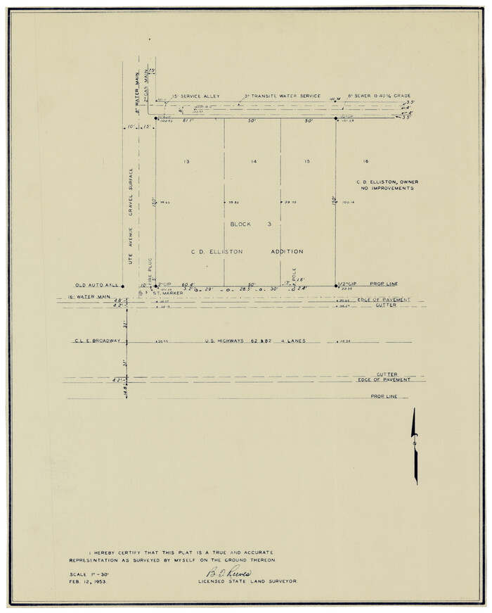
Block 3, C. D. Elliston Addition

Print $20.00
- Digital $50.00
Block 3, C. D. Elliston Addition
1953
Size 14.8 x 18.3 inches
Map/Doc 92728
[Sketch in vicinity of Wm. McCutcheon, S. H. Reid and John McGinley]
![90115, [Sketch in vicinity of Wm. McCutcheon, S. H. Reid and John McGinley], Twichell Survey Records](https://historictexasmaps.com/wmedia_w700/maps/90115-1.tif.jpg)
![90115, [Sketch in vicinity of Wm. McCutcheon, S. H. Reid and John McGinley], Twichell Survey Records](https://historictexasmaps.com/wmedia_w700/maps/90115-1.tif.jpg)
Print $20.00
- Digital $50.00
[Sketch in vicinity of Wm. McCutcheon, S. H. Reid and John McGinley]
1923
Size 20.0 x 13.2 inches
Map/Doc 90115
[Sketch showing San Augustine, Morris, Stephens and Eastland School Land Leagues and adjacent Blocks]
![89918, [Sketch showing San Augustine, Morris, Stephens and Eastland School Land Leagues and adjacent Blocks], Twichell Survey Records](https://historictexasmaps.com/wmedia_w700/maps/89918-1.tif.jpg)
![89918, [Sketch showing San Augustine, Morris, Stephens and Eastland School Land Leagues and adjacent Blocks], Twichell Survey Records](https://historictexasmaps.com/wmedia_w700/maps/89918-1.tif.jpg)
Print $40.00
- Digital $50.00
[Sketch showing San Augustine, Morris, Stephens and Eastland School Land Leagues and adjacent Blocks]
Size 54.7 x 43.5 inches
Map/Doc 89918
Section L Tech Memorial Park, Inc.


Print $3.00
- Digital $50.00
Section L Tech Memorial Park, Inc.
1950
Size 11.7 x 12.8 inches
Map/Doc 92270
Yellow House Land Company's Subdivision of State Capitol Leagues Hockley and Lamb Counties, Texas


Print $20.00
- Digital $50.00
Yellow House Land Company's Subdivision of State Capitol Leagues Hockley and Lamb Counties, Texas
Size 22.4 x 23.0 inches
Map/Doc 92206
Map of Parts of Dawson and Borden Counties


Print $20.00
- Digital $50.00
Map of Parts of Dawson and Borden Counties
Size 23.0 x 17.7 inches
Map/Doc 90627
You may also like
Hardeman County Sketch File 4


Print $6.00
- Digital $50.00
Hardeman County Sketch File 4
Size 9.3 x 8.2 inches
Map/Doc 24991
Irion County Sketch File 2


Print $22.00
- Digital $50.00
Irion County Sketch File 2
1890
Size 11.2 x 8.4 inches
Map/Doc 27456
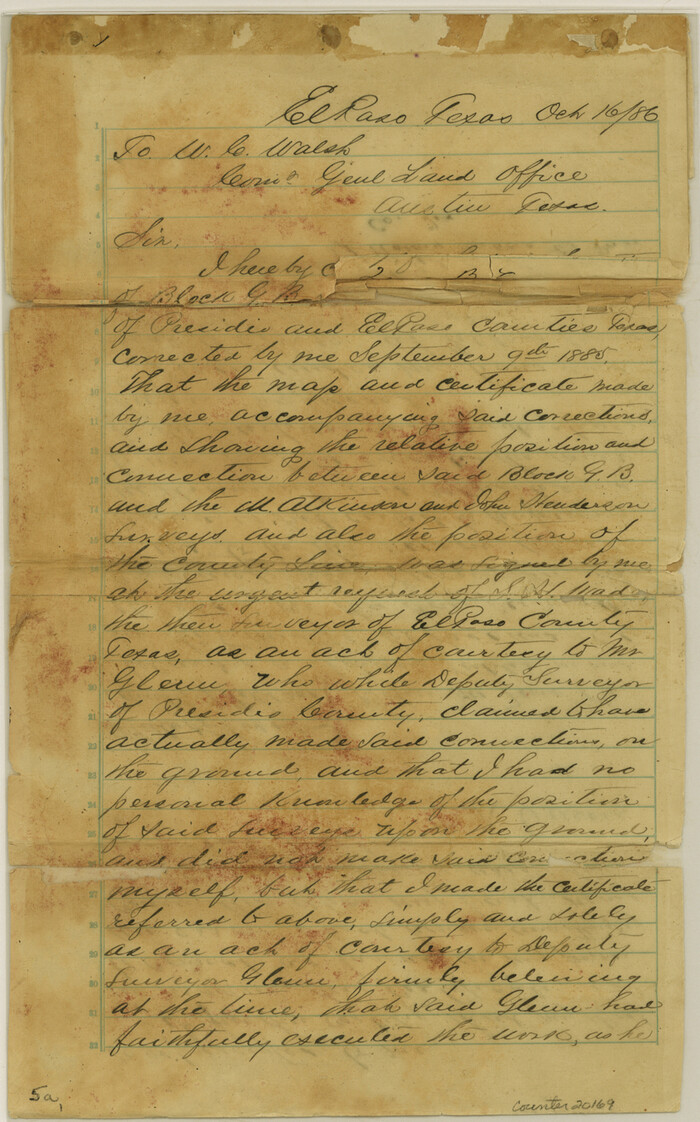
Culberson County Sketch File 5a

Print $44.00
- Digital $50.00
Culberson County Sketch File 5a
Size 14.2 x 8.8 inches
Map/Doc 20169
Castro County Working Sketch 4


Print $20.00
- Digital $50.00
Castro County Working Sketch 4
1920
Size 17.0 x 16.2 inches
Map/Doc 67899
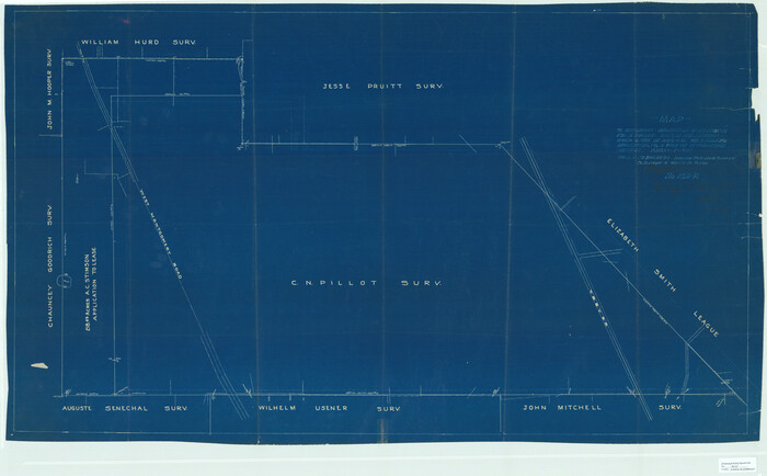
Harris County Rolled Sketch ACS

Print $40.00
- Digital $50.00
Harris County Rolled Sketch ACS
1933
Size 32.7 x 52.8 inches
Map/Doc 8343
General Highway Map. Detail of Cities and Towns in Jefferson County, Texas / 1961


Print $20.00
General Highway Map. Detail of Cities and Towns in Jefferson County, Texas / 1961
1961
Size 18.2 x 24.6 inches
Map/Doc 79538
Pecos County Rolled Sketch 109
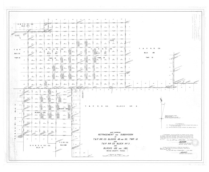

Print $40.00
- Digital $50.00
Pecos County Rolled Sketch 109
1940
Size 40.6 x 49.3 inches
Map/Doc 9719
Travis County Appraisal District Plat Map 2_0502
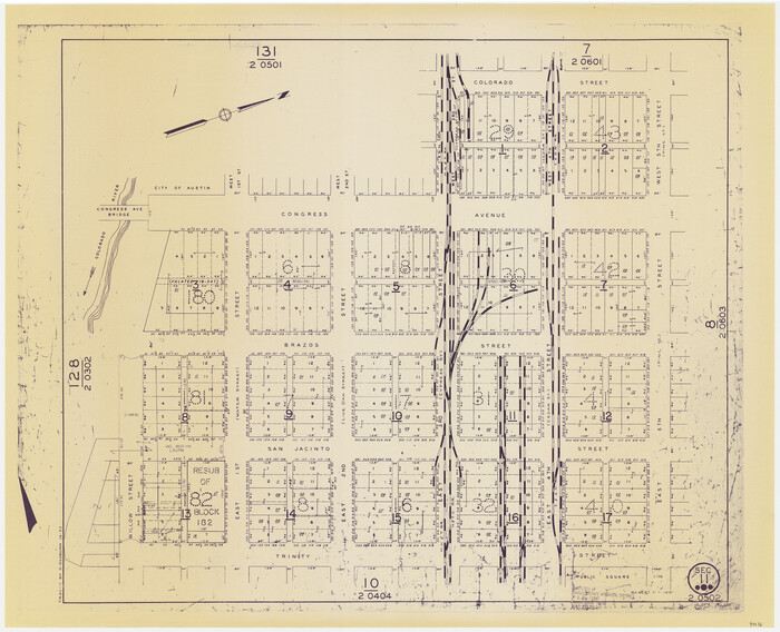

Print $20.00
- Digital $50.00
Travis County Appraisal District Plat Map 2_0502
Size 21.4 x 26.4 inches
Map/Doc 94236
Denton County Working Sketch 6


Print $20.00
- Digital $50.00
Denton County Working Sketch 6
1958
Size 21.3 x 33.0 inches
Map/Doc 68611
Jim Wells County Working Sketch 13


Print $20.00
- Digital $50.00
Jim Wells County Working Sketch 13
1980
Size 36.7 x 26.3 inches
Map/Doc 66611
[PSL Block A-12]
![93229, [PSL Block A-12], Twichell Survey Records](https://historictexasmaps.com/wmedia_w700/maps/93229-1.tif.jpg)
![93229, [PSL Block A-12], Twichell Survey Records](https://historictexasmaps.com/wmedia_w700/maps/93229-1.tif.jpg)
Print $2.00
- Digital $50.00
[PSL Block A-12]
1953
Size 8.7 x 13.5 inches
Map/Doc 93229
City of Lubbock, Lubbock County, Texas
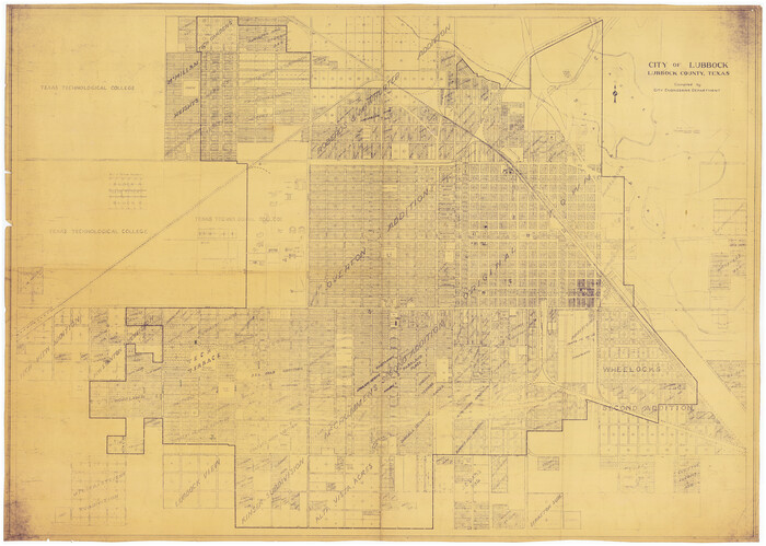

Print $40.00
- Digital $50.00
City of Lubbock, Lubbock County, Texas
1946
Size 54.3 x 39.1 inches
Map/Doc 89902
![92086, Working Sketch in Collingsworth County [showing East line of County along border with Oklahoma], Twichell Survey Records](https://historictexasmaps.com/wmedia_w1800h1800/maps/92086-1.tif.jpg)
