[J. Poitevent Blocks 1 and 2, T. & P. Blocks 31-36, Townships 3N-5N and other Blocks in vicinity]
-
Map/Doc
93195
-
Collection
Twichell Survey Records
-
People and Organizations
W.D. Twichell (Surveyor/Engineer)
-
Counties
Dawson Martin Borden Howard
-
Height x Width
50.0 x 50.1 inches
127.0 x 127.3 cm
Part of: Twichell Survey Records
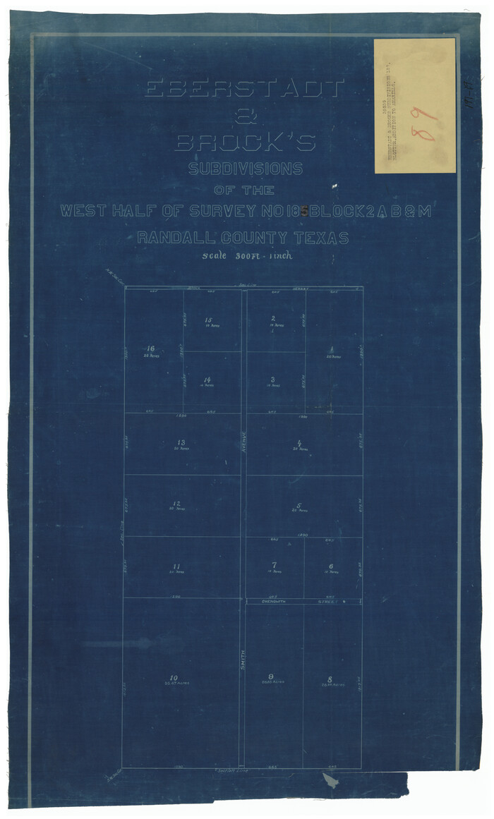
Eberstadt and Brock's Subdivisions of the West Half of Survey 187 Block 2 A. B. & M., Randall County Texas

Print $20.00
- Digital $50.00
Eberstadt and Brock's Subdivisions of the West Half of Survey 187 Block 2 A. B. & M., Randall County Texas
Size 17.7 x 29.6 inches
Map/Doc 91748
[State Capitol Leagues, County School Leagues, and vicinity]
![92535, [State Capitol Leagues, County School Leagues, and vicinity], Twichell Survey Records](https://historictexasmaps.com/wmedia_w700/maps/92535-1.tif.jpg)
![92535, [State Capitol Leagues, County School Leagues, and vicinity], Twichell Survey Records](https://historictexasmaps.com/wmedia_w700/maps/92535-1.tif.jpg)
Print $20.00
- Digital $50.00
[State Capitol Leagues, County School Leagues, and vicinity]
1913
Size 20.8 x 27.6 inches
Map/Doc 92535
Working Sketch of Surveys in Kent & Scurry Counties Located South of Clairemont, Texas


Print $20.00
- Digital $50.00
Working Sketch of Surveys in Kent & Scurry Counties Located South of Clairemont, Texas
1947
Size 41.2 x 43.4 inches
Map/Doc 89861
[Capitol Leagues 217- 235, 238, and 239]
![90706, [Capitol Leagues 217- 235, 238, and 239], Twichell Survey Records](https://historictexasmaps.com/wmedia_w700/maps/90706-1.tif.jpg)
![90706, [Capitol Leagues 217- 235, 238, and 239], Twichell Survey Records](https://historictexasmaps.com/wmedia_w700/maps/90706-1.tif.jpg)
Print $20.00
- Digital $50.00
[Capitol Leagues 217- 235, 238, and 239]
Size 26.3 x 26.9 inches
Map/Doc 90706
[John Walker, south part B9 and vicinity]
![90330, [John Walker, south part B9 and vicinity], Twichell Survey Records](https://historictexasmaps.com/wmedia_w700/maps/90330-1.tif.jpg)
![90330, [John Walker, south part B9 and vicinity], Twichell Survey Records](https://historictexasmaps.com/wmedia_w700/maps/90330-1.tif.jpg)
Print $20.00
- Digital $50.00
[John Walker, south part B9 and vicinity]
Size 32.7 x 24.1 inches
Map/Doc 90330
Lipscomb County, Texas


Print $20.00
- Digital $50.00
Lipscomb County, Texas
Size 13.7 x 15.0 inches
Map/Doc 91304
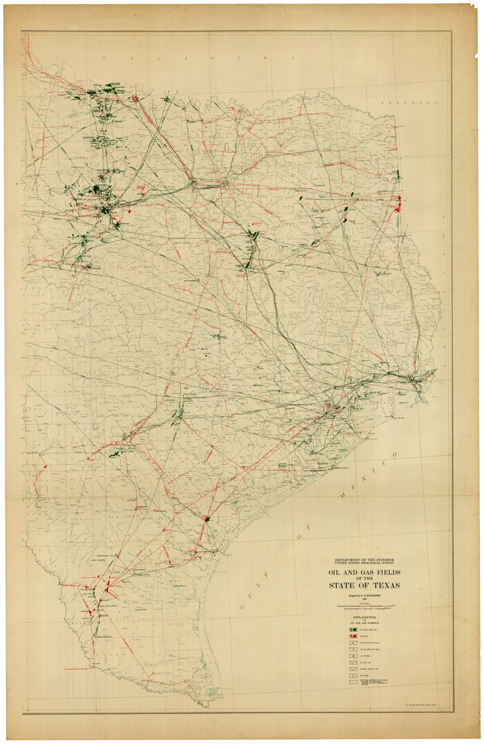
Oil and Gas Fields of the State of Texas

Print $40.00
- Digital $50.00
Oil and Gas Fields of the State of Texas
1931
Size 38.4 x 59.2 inches
Map/Doc 89885
[Leagues 701-714 and vicinity]
![90460, [Leagues 701-714 and vicinity], Twichell Survey Records](https://historictexasmaps.com/wmedia_w700/maps/90460-1.tif.jpg)
![90460, [Leagues 701-714 and vicinity], Twichell Survey Records](https://historictexasmaps.com/wmedia_w700/maps/90460-1.tif.jpg)
Print $20.00
- Digital $50.00
[Leagues 701-714 and vicinity]
Size 37.7 x 22.8 inches
Map/Doc 90460
[Block M-19, and G. & M. Blocks 4 and 5]
![91784, [Block M-19, and G. & M. Blocks 4 and 5], Twichell Survey Records](https://historictexasmaps.com/wmedia_w700/maps/91784-1.tif.jpg)
![91784, [Block M-19, and G. & M. Blocks 4 and 5], Twichell Survey Records](https://historictexasmaps.com/wmedia_w700/maps/91784-1.tif.jpg)
Print $20.00
- Digital $50.00
[Block M-19, and G. & M. Blocks 4 and 5]
Size 22.4 x 17.7 inches
Map/Doc 91784
[Block XR, Capitol Leagues 161, 162, 164, 174, 178, 179, and 180]
![90661, [Block XR, Capitol Leagues 161, 162, 164, 174, 178, 179, and 180], Twichell Survey Records](https://historictexasmaps.com/wmedia_w700/maps/90661-1.tif.jpg)
![90661, [Block XR, Capitol Leagues 161, 162, 164, 174, 178, 179, and 180], Twichell Survey Records](https://historictexasmaps.com/wmedia_w700/maps/90661-1.tif.jpg)
Print $20.00
- Digital $50.00
[Block XR, Capitol Leagues 161, 162, 164, 174, 178, 179, and 180]
1908
Size 12.3 x 21.1 inches
Map/Doc 90661
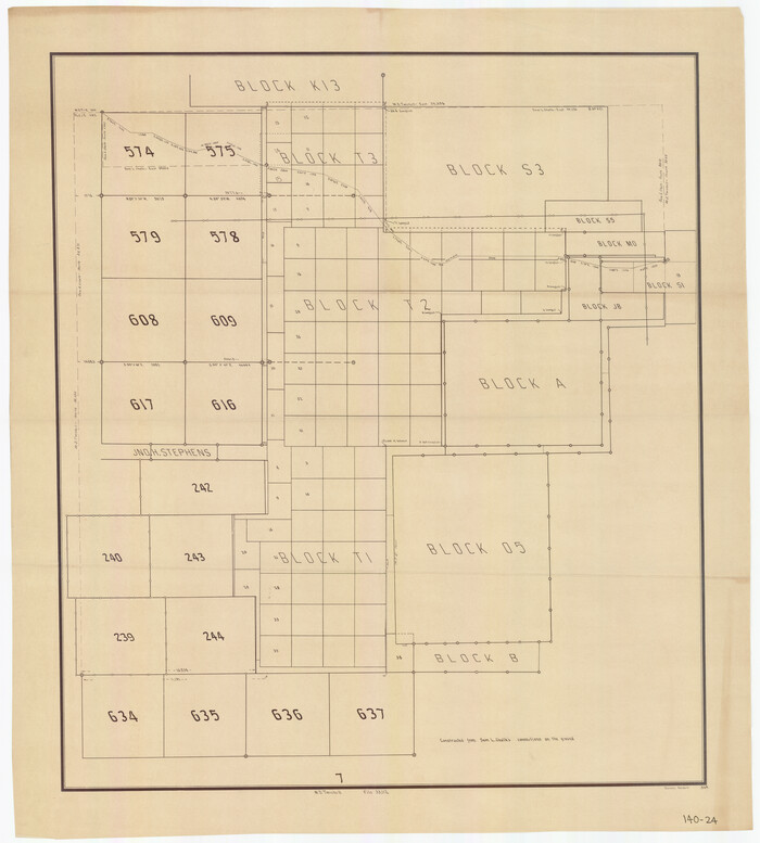
[Blocks T1, T2, T3, Leagues 574, 575, 634- 637

Print $20.00
- Digital $50.00
[Blocks T1, T2, T3, Leagues 574, 575, 634- 637
Size 30.2 x 33.5 inches
Map/Doc 91051
You may also like
[Portions of Blocks K and K3]
![90775, [Portions of Blocks K and K3], Twichell Survey Records](https://historictexasmaps.com/wmedia_w700/maps/90775-1.tif.jpg)
![90775, [Portions of Blocks K and K3], Twichell Survey Records](https://historictexasmaps.com/wmedia_w700/maps/90775-1.tif.jpg)
Print $20.00
- Digital $50.00
[Portions of Blocks K and K3]
Size 20.3 x 13.1 inches
Map/Doc 90775
Uvalde County Sketch File A


Print $40.00
- Digital $50.00
Uvalde County Sketch File A
1912
Size 23.0 x 18.0 inches
Map/Doc 12537
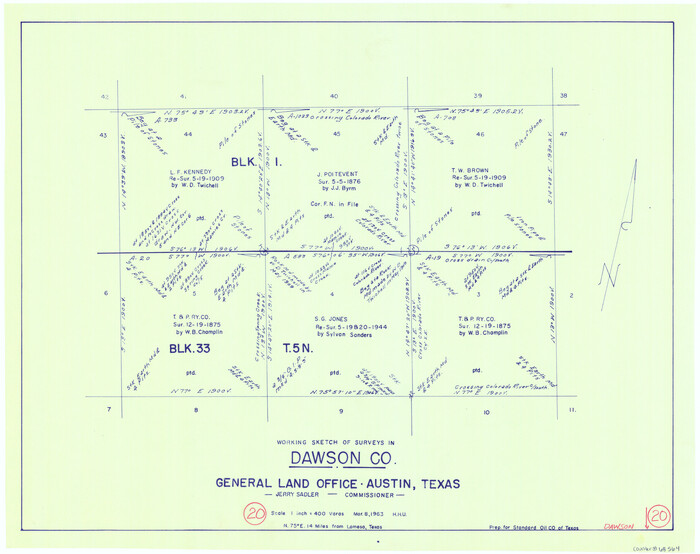
Dawson County Working Sketch 20

Print $20.00
- Digital $50.00
Dawson County Working Sketch 20
1963
Size 18.2 x 23.0 inches
Map/Doc 68564
Red River County Working Sketch 44
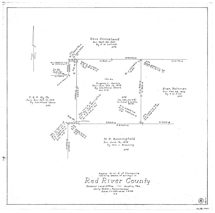

Print $20.00
- Digital $50.00
Red River County Working Sketch 44
1968
Size 28.1 x 28.3 inches
Map/Doc 72027
Blanco County Working Sketch 36
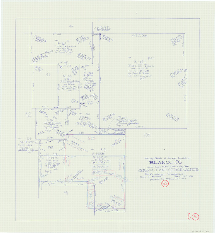

Print $20.00
- Digital $50.00
Blanco County Working Sketch 36
1979
Size 23.8 x 22.0 inches
Map/Doc 67396
Flight Mission No. DQO-12K, Frame 42, Galveston County
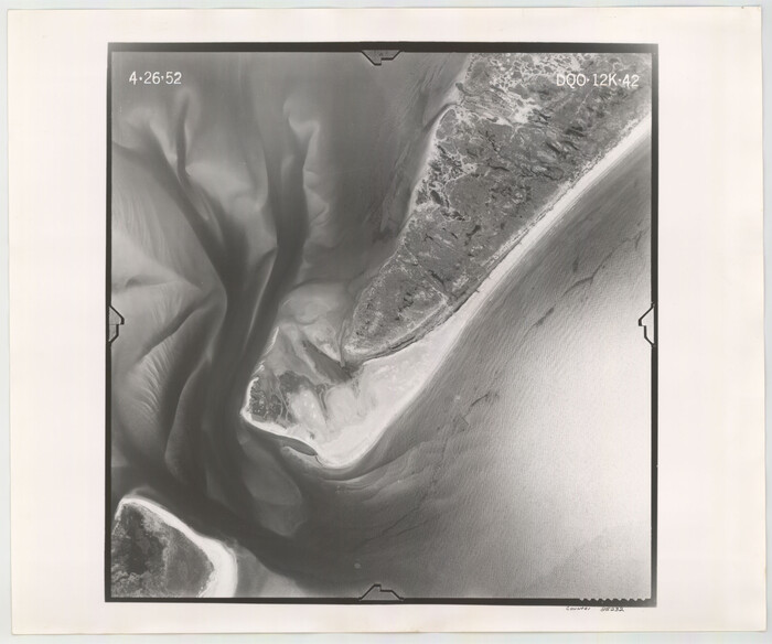

Print $20.00
- Digital $50.00
Flight Mission No. DQO-12K, Frame 42, Galveston County
1952
Size 18.6 x 22.3 inches
Map/Doc 85232
Flight Mission No. BRA-16M, Frame 174, Jefferson County
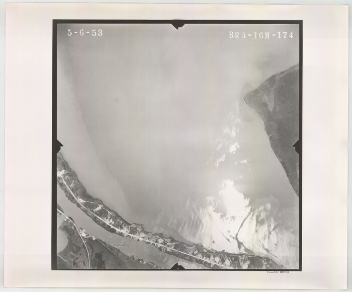

Print $20.00
- Digital $50.00
Flight Mission No. BRA-16M, Frame 174, Jefferson County
1953
Size 18.6 x 22.4 inches
Map/Doc 85772
Cameron County Rolled Sketch 20B
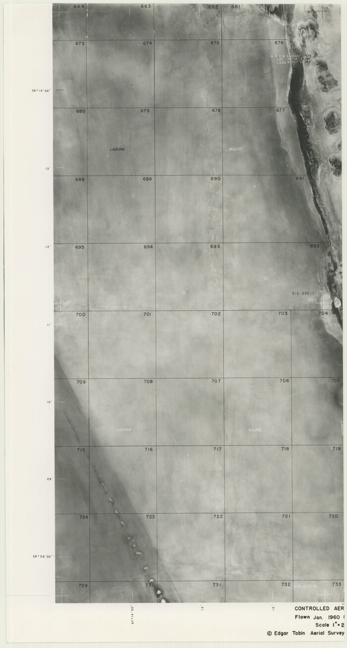

Print $20.00
- Digital $50.00
Cameron County Rolled Sketch 20B
1960
Size 25.2 x 13.5 inches
Map/Doc 5472
Carson County Boundary File 5b
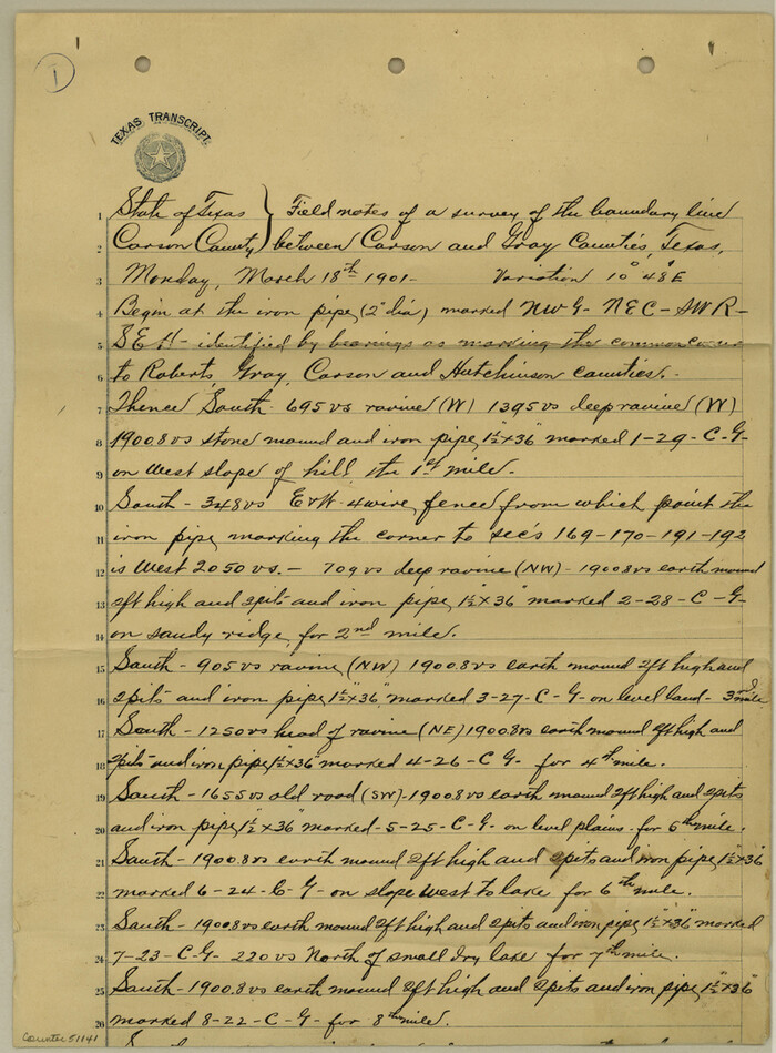

Print $10.00
- Digital $50.00
Carson County Boundary File 5b
Size 11.7 x 8.6 inches
Map/Doc 51141
Map of Potter County
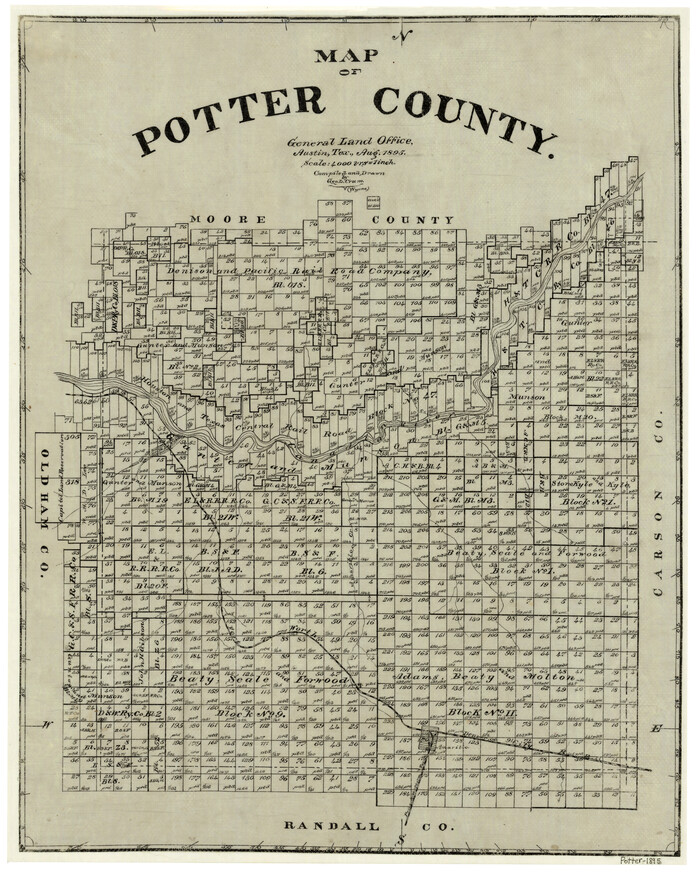

Print $20.00
- Digital $50.00
Map of Potter County
1895
Size 23.6 x 18.6 inches
Map/Doc 4589
Texas, Corpus Christi Bay, Nueces Bay


Print $40.00
- Digital $50.00
Texas, Corpus Christi Bay, Nueces Bay
1934
Size 34.0 x 48.9 inches
Map/Doc 73458
Loving County
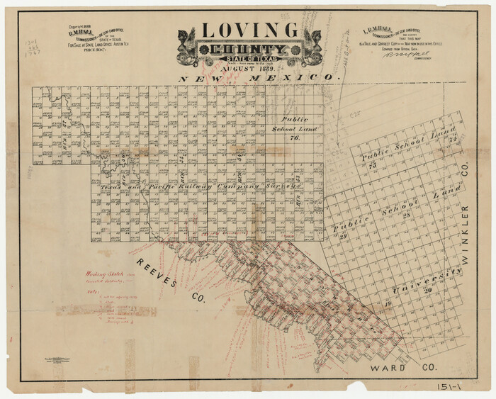

Print $20.00
- Digital $50.00
Loving County
1889
Size 24.7 x 20.1 inches
Map/Doc 91319
![93195, [J. Poitevent Blocks 1 and 2, T. & P. Blocks 31-36, Townships 3N-5N and other Blocks in vicinity], Twichell Survey Records](https://historictexasmaps.com/wmedia_w1800h1800/maps/93195-1.tif.jpg)
![92953, [Terry County], Twichell Survey Records](https://historictexasmaps.com/wmedia_w700/maps/92953-1.tif.jpg)