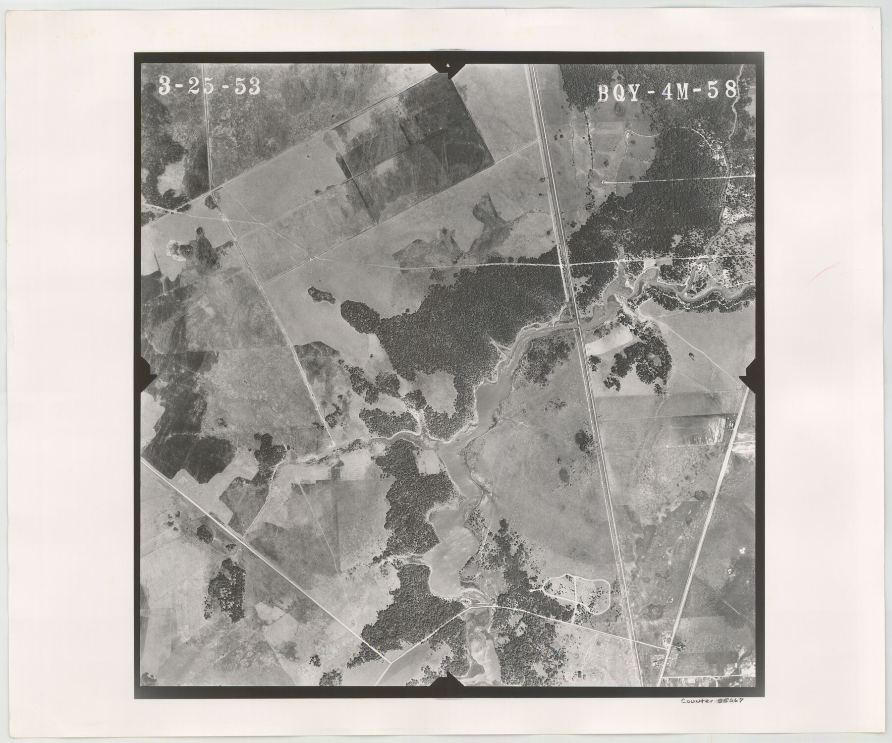
Flight Mission No. BQY-4M, Frame 58, Harris County
BQY-4M-58
-
Map/Doc
85267
-
Collection
General Map Collection
-
Object Dates
1953/3/25 (Creation Date)
-
People and Organizations
U. S. Department of Agriculture (Publisher)
-
Counties
Harris
-
Subjects
Aerial Photograph
-
Height x Width
18.5 x 22.3 inches
47.0 x 56.6 cm
-
Comments
Flown by Jack Ammann Photogrammetric Engineers of San Antonio, Texas.
Part of: General Map Collection
East Half - Brown County

Print $40.00
- Digital $50.00
East Half - Brown County
1982
Size 141.3 x 36.8 inches
Map/Doc 97385
Eastland County Working Sketch 40

Print $20.00
- Digital $50.00
Eastland County Working Sketch 40
1970
Size 27.9 x 26.0 inches
Map/Doc 68821
Blanco County Working Sketch 2

Print $20.00
- Digital $50.00
Blanco County Working Sketch 2
Size 26.6 x 20.5 inches
Map/Doc 67361
Midland County Boundary File 4a

Print $40.00
- Digital $50.00
Midland County Boundary File 4a
Size 36.2 x 54.5 inches
Map/Doc 57185
Flight Mission No. CRK-3P, Frame 175, Refugio County

Print $20.00
- Digital $50.00
Flight Mission No. CRK-3P, Frame 175, Refugio County
1956
Size 18.6 x 21.7 inches
Map/Doc 86922
Flight Mission No. DAG-21K, Frame 99, Matagorda County

Print $20.00
- Digital $50.00
Flight Mission No. DAG-21K, Frame 99, Matagorda County
1952
Size 17.5 x 16.3 inches
Map/Doc 86428
Clay County Working Sketch 13

Print $20.00
- Digital $50.00
Clay County Working Sketch 13
1955
Size 14.7 x 14.3 inches
Map/Doc 68036
Houston County Working Sketch 10

Print $20.00
- Digital $50.00
Houston County Working Sketch 10
1953
Size 32.7 x 27.3 inches
Map/Doc 66240
Flight Mission No. CGI-3N, Frame 75, Cameron County

Print $20.00
- Digital $50.00
Flight Mission No. CGI-3N, Frame 75, Cameron County
1954
Size 18.6 x 22.2 inches
Map/Doc 84569
Lamar County Working Sketch 8

Print $20.00
- Digital $50.00
Lamar County Working Sketch 8
1969
Size 39.3 x 31.6 inches
Map/Doc 70269

Flight Mission No. CRC-3R, Frame 52, Chambers County

Print $20.00
- Digital $50.00
Flight Mission No. CRC-3R, Frame 52, Chambers County
1956
Size 18.7 x 22.3 inches
Map/Doc 89041
You may also like
Van Zandt County Sketch File 26

Print $4.00
- Digital $50.00
Van Zandt County Sketch File 26
1858
Size 6.7 x 7.9 inches
Map/Doc 39445
Red River County Rolled Sketch 9

Print $20.00
- Digital $50.00
Red River County Rolled Sketch 9
Size 27.1 x 18.1 inches
Map/Doc 7475
Stonewall County Working Sketch 16

Print $20.00
- Digital $50.00
Stonewall County Working Sketch 16
1954
Size 39.2 x 29.7 inches
Map/Doc 62323

(A No. 2) Preliminary Sketch Showing the positions of Davis's South Shoal and other Dangers recently discovered by the Coast Survey and the soundings on the Old South Shoal, Bass Rip, Old Man, Pochick Rip &c.

Print $20.00
- Digital $50.00
(A No. 2) Preliminary Sketch Showing the positions of Davis's South Shoal and other Dangers recently discovered by the Coast Survey and the soundings on the Old South Shoal, Bass Rip, Old Man, Pochick Rip &c.
1846
Size 19.7 x 21.8 inches
Map/Doc 97203
Polk County Working Sketch 8

Print $20.00
- Digital $50.00
Polk County Working Sketch 8
1934
Size 24.2 x 30.5 inches
Map/Doc 71623
General Highway Map Hockley County, Texas

Print $20.00
- Digital $50.00
General Highway Map Hockley County, Texas
1949
Size 25.7 x 18.8 inches
Map/Doc 92209
Williamson County State Real Property Sketch 1

Print $20.00
- Digital $50.00
Williamson County State Real Property Sketch 1
1985
Size 46.1 x 36.2 inches
Map/Doc 61692
Matagorda County Working Sketch 7

Print $20.00
- Digital $50.00
Matagorda County Working Sketch 7
1953
Size 41.0 x 31.8 inches
Map/Doc 70865
Milam County Sketch File 8

Print $20.00
- Digital $50.00
Milam County Sketch File 8
1856
Size 16.8 x 33.7 inches
Map/Doc 12091
Map of Galveston, Texas, Showing the Rebel Line of Works. Surveyed and Drawn by Order of G.L. Gillespie, Brevet Major and Chief Engr., Mil. Div. of the Gulf, Under the Direction of Lt. S.E. McGregory, Comdg. Topl. Party, by Pl. St. Vignes, Asst.

Print $20.00
Map of Galveston, Texas, Showing the Rebel Line of Works. Surveyed and Drawn by Order of G.L. Gillespie, Brevet Major and Chief Engr., Mil. Div. of the Gulf, Under the Direction of Lt. S.E. McGregory, Comdg. Topl. Party, by Pl. St. Vignes, Asst.
1861
Size 25.3 x 38.7 inches
Map/Doc 88594
Kimble County Working Sketch 76

Print $20.00
- Digital $50.00
Kimble County Working Sketch 76
1969
Size 27.7 x 41.0 inches
Map/Doc 70144