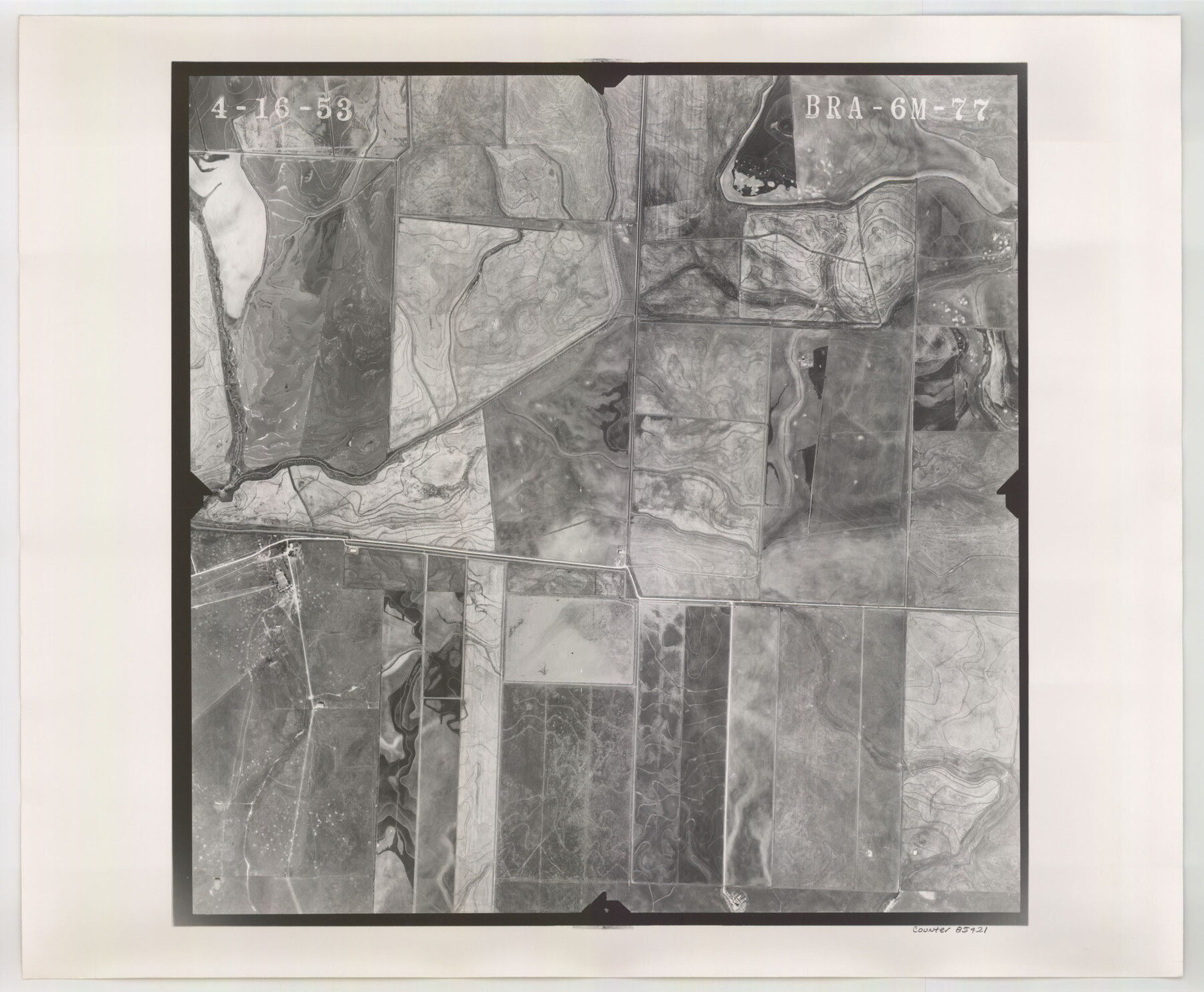
Flight Mission No. BRA-6M, Frame 77, Jefferson County
BRA-6M-77
-
Map/Doc
85421
-
Collection
General Map Collection
-
Object Dates
1953/4/16 (Creation Date)
-
People and Organizations
U. S. Department of Agriculture (Publisher)
-
Counties
Jefferson
-
Subjects
Aerial Photograph
-
Height x Width
18.6 x 22.6 inches
47.2 x 57.4 cm
-
Comments
Flown by Jack Ammann Photogrammetric Engineers of San Antonio, Texas.
Part of: General Map Collection
Copy of a portion of Arista's map

Print $20.00
- Digital $50.00
Copy of a portion of Arista's map
1847
Size 27.5 x 18.3 inches
Map/Doc 73057
Eastland County Sketch File 9

Print $4.00
- Digital $50.00
Eastland County Sketch File 9
Size 10.5 x 8.2 inches
Map/Doc 21580

Map of Nueces County

Print $20.00
- Digital $50.00
Map of Nueces County
1875
Size 24.6 x 37.4 inches
Map/Doc 3919
Sabine County Rolled Sketch 2

Print $20.00
- Digital $50.00
Sabine County Rolled Sketch 2
1949
Size 33.3 x 20.8 inches
Map/Doc 7551
Mosaic composed of aerial photographs - Galveston, Tex.

Print $20.00
- Digital $50.00
Mosaic composed of aerial photographs - Galveston, Tex.
1923
Size 15.3 x 33.3 inches
Map/Doc 97160
Amistad International Reservoir on Rio Grande 71a

Print $20.00
- Digital $50.00
Amistad International Reservoir on Rio Grande 71a
1949
Size 28.4 x 39.6 inches
Map/Doc 73359
Polk County Working Sketch 24

Print $20.00
- Digital $50.00
Polk County Working Sketch 24
1957
Size 24.8 x 25.3 inches
Map/Doc 71640
Flight Mission No. DAH-9M, Frame 162, Orange County

Print $20.00
- Digital $50.00
Flight Mission No. DAH-9M, Frame 162, Orange County
1953
Size 18.6 x 22.3 inches
Map/Doc 86861
Dawson County Sketch File 19

Print $20.00
- Digital $50.00
Dawson County Sketch File 19
1951
Size 18.5 x 24.7 inches
Map/Doc 11295
Flight Mission No. DQN-7K, Frame 32, Calhoun County

Print $20.00
- Digital $50.00
Flight Mission No. DQN-7K, Frame 32, Calhoun County
1953
Size 18.6 x 22.2 inches
Map/Doc 84470
Lubbock County Boundary File 5

Print $2.00
- Digital $50.00
Lubbock County Boundary File 5
Size 7.2 x 8.2 inches
Map/Doc 56493
You may also like
Map of Padre Island Showing Location of Zoning Districts

Print $20.00
- Digital $50.00
Map of Padre Island Showing Location of Zoning Districts
1971
Size 26.2 x 18.5 inches
Map/Doc 4811
Liberty County Working Sketch 42

Print $20.00
- Digital $50.00
Liberty County Working Sketch 42
1953
Size 24.0 x 35.8 inches
Map/Doc 70501
Jones County Sketch File 6

Print $2.00
- Digital $50.00
Jones County Sketch File 6
1873
Size 8.3 x 11.8 inches
Map/Doc 28494
[Surveys along and below the Red River and the Lamar and Fannin County line, Lamar District]
![76049, [Surveys along and below the Red River and the Lamar and Fannin County line, Lamar District], General Map Collection](https://historictexasmaps.com/wmedia_w700/maps/76049.tif.jpg)
Print $3.00
- Digital $50.00
[Surveys along and below the Red River and the Lamar and Fannin County line, Lamar District]
Size 12.1 x 10.1 inches
Map/Doc 76049
Uvalde County Working Sketch 48

Print $20.00
- Digital $50.00
Uvalde County Working Sketch 48
1980
Size 15.6 x 17.9 inches
Map/Doc 72118
[Blocks JB, SI, K3, A, and S4]
![90776, [Blocks JB, SI, K3, A, and S4], Twichell Survey Records](https://historictexasmaps.com/wmedia_w700/maps/90776-1.tif.jpg)
Print $20.00
- Digital $50.00
[Blocks JB, SI, K3, A, and S4]
Size 23.6 x 15.2 inches
Map/Doc 90776
[Nueces Bay Islands and Nesting Birds]
![60311, [Nueces Bay Islands and Nesting Birds], General Map Collection](https://historictexasmaps.com/wmedia_w700/maps/60311.tif.jpg)
Print $2.00
- Digital $50.00
[Nueces Bay Islands and Nesting Birds]
1940
Size 11.5 x 7.1 inches
Map/Doc 60311
Marion County Rolled Sketch 2

Print $20.00
- Digital $50.00
Marion County Rolled Sketch 2
1954
Size 34.8 x 45.9 inches
Map/Doc 46621

[Sketch for Mineral Application 24072, San Jacinto River]
![65598, [Sketch for Mineral Application 24072, San Jacinto River], General Map Collection](https://historictexasmaps.com/wmedia_w700/maps/65598.tif.jpg)
Print $20.00
- Digital $50.00
[Sketch for Mineral Application 24072, San Jacinto River]
1929
Size 24.6 x 18.3 inches
Map/Doc 65598
Map showing eight tidal areas in Oso Bay and Oso Creek, Nueces County, Texas offered for Mineral Development

Print $20.00
- Digital $50.00
Map showing eight tidal areas in Oso Bay and Oso Creek, Nueces County, Texas offered for Mineral Development
1936
Size 17.9 x 29.7 inches
Map/Doc 2067
Atlas Geográfico, Estadístico é Histórico de la República Mexicana

Atlas Geográfico, Estadístico é Histórico de la República Mexicana
Map/Doc 95689