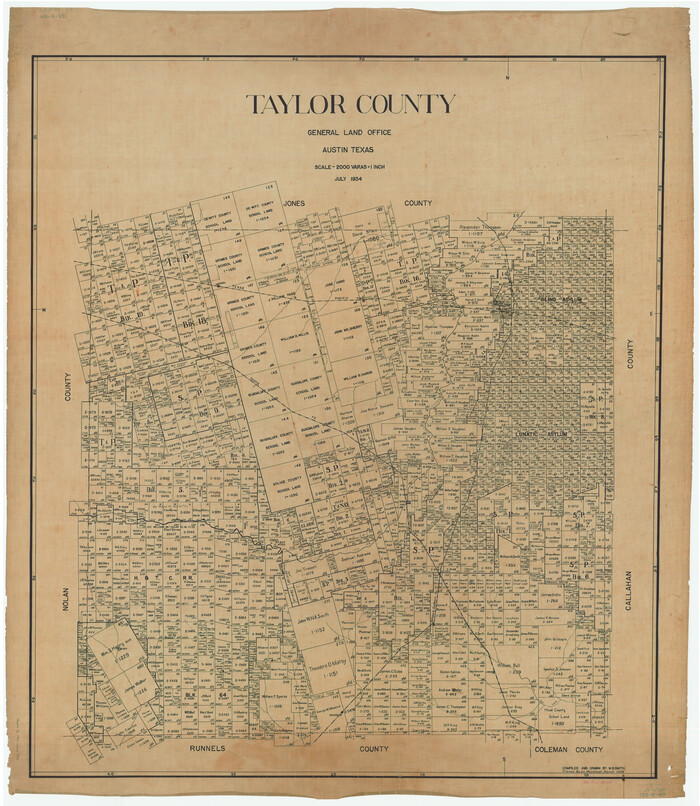
[Sketch for Mineral Application 24072, San Jacinto River]
K-1-40
-
Map/Doc
65598
-
Collection
General Map Collection
-
Object Dates
1929 (Creation Date)
-
Counties
Montgomery
-
Subjects
Energy Offshore Submerged Area
-
Height x Width
24.6 x 18.3 inches
62.5 x 46.5 cm
Part of: General Map Collection
Mason County Sketch File 17a

Print $6.00
- Digital $50.00
Mason County Sketch File 17a
1887
Size 10.3 x 10.9 inches
Map/Doc 30707
San Saba County Sketch File 1


Print $46.00
- Digital $50.00
San Saba County Sketch File 1
1854
Size 9.1 x 7.8 inches
Map/Doc 36400
Mason County Working Sketch 18


Print $20.00
- Digital $50.00
Mason County Working Sketch 18
1980
Size 19.4 x 15.0 inches
Map/Doc 70854
Current Miscellaneous File 120


Print $14.00
- Digital $50.00
Current Miscellaneous File 120
Size 8.5 x 11.0 inches
Map/Doc 88754
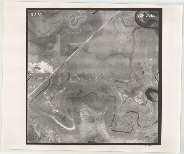
Flight Mission No. BQR-5K, Frame 65, Brazoria County

Print $20.00
- Digital $50.00
Flight Mission No. BQR-5K, Frame 65, Brazoria County
1952
Size 18.8 x 22.5 inches
Map/Doc 84010
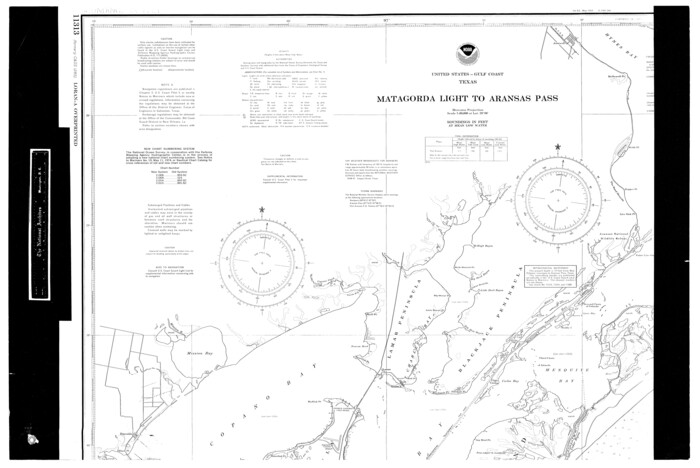
Calhoun County Rolled Sketch 30

Print $20.00
- Digital $50.00
Calhoun County Rolled Sketch 30
1974
Size 18.6 x 27.8 inches
Map/Doc 5376
El Paso County Rolled Sketch 22

Print $40.00
- Digital $50.00
El Paso County Rolled Sketch 22
1888
Size 38.8 x 95.1 inches
Map/Doc 8859
Calhoun County Sketch File 8


Print $12.00
- Digital $50.00
Calhoun County Sketch File 8
1948
Size 14.2 x 9.0 inches
Map/Doc 35930
Nueces County Rolled Sketch 44


Print $40.00
- Digital $50.00
Nueces County Rolled Sketch 44
1948
Size 40.0 x 60.8 inches
Map/Doc 9602
San Patricio County NRC Article 33.136 Location Key Sheet

Print $20.00
- Digital $50.00
San Patricio County NRC Article 33.136 Location Key Sheet
1975
Size 27.0 x 23.0 inches
Map/Doc 77035
Hudspeth County Rolled Sketch 26

Print $20.00
- Digital $50.00
Hudspeth County Rolled Sketch 26
1909
Size 19.6 x 18.1 inches
Map/Doc 6246
Flight Mission No. DQN-2K, Frame 156, Calhoun County


Print $20.00
- Digital $50.00
Flight Mission No. DQN-2K, Frame 156, Calhoun County
1953
Size 18.5 x 22.3 inches
Map/Doc 84318
You may also like
Burnet County Sketch File 5

Print $4.00
- Digital $50.00
Burnet County Sketch File 5
Size 6.9 x 8.0 inches
Map/Doc 16680
Harris County Working Sketch 40
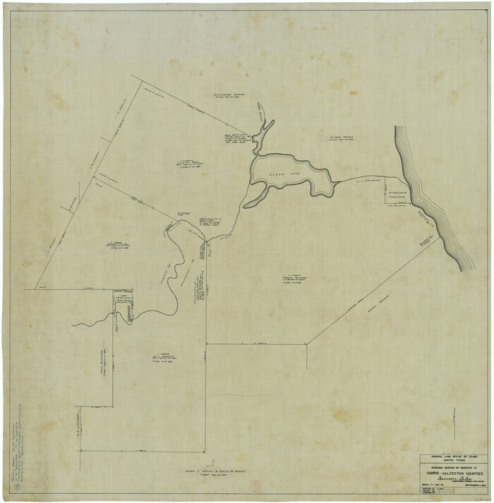

Print $20.00
- Digital $50.00
Harris County Working Sketch 40
1940
Size 42.0 x 41.2 inches
Map/Doc 65932
Brewster County Working Sketch 90


Print $40.00
- Digital $50.00
Brewster County Working Sketch 90
1975
Size 61.0 x 43.3 inches
Map/Doc 67690
General Highway Map, Wharton County, Texas
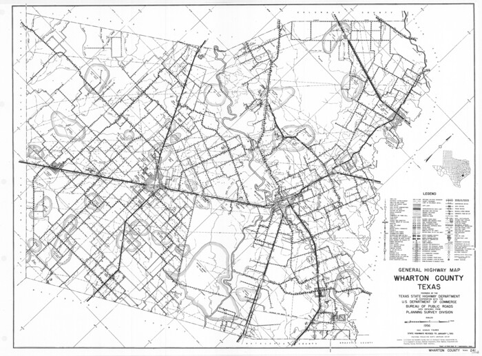

Print $20.00
General Highway Map, Wharton County, Texas
1961
Size 18.3 x 24.7 inches
Map/Doc 79706
Hill County Sketch File 8
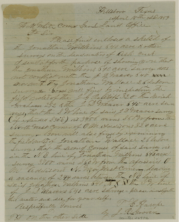

Print $4.00
- Digital $50.00
Hill County Sketch File 8
1859
Size 10.1 x 8.2 inches
Map/Doc 26472
Atascosa County Sketch File 24
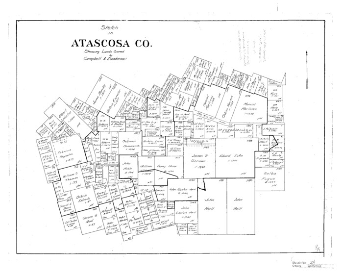

Print $40.00
- Digital $50.00
Atascosa County Sketch File 24
Size 17.3 x 21.5 inches
Map/Doc 10861
Sterling County Rolled Sketch 28
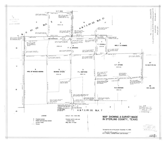

Print $20.00
- Digital $50.00
Sterling County Rolled Sketch 28
Size 28.8 x 33.4 inches
Map/Doc 7853
San Jacinto County Working Sketch 44
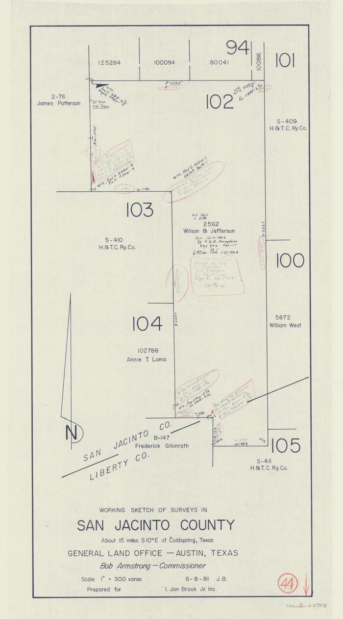

Print $20.00
- Digital $50.00
San Jacinto County Working Sketch 44
1981
Size 20.6 x 11.4 inches
Map/Doc 63758
Hartley County Sketch File 17

Print $4.00
- Digital $50.00
Hartley County Sketch File 17
1892
Size 11.2 x 8.9 inches
Map/Doc 26115
Rockwall County Sketch File 4

Print $9.00
Rockwall County Sketch File 4
1860
Size 7.7 x 12.1 inches
Map/Doc 35419
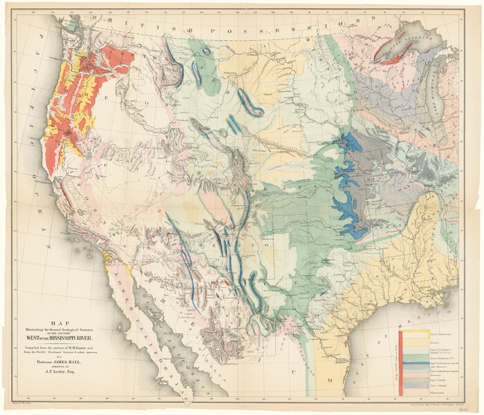
Map illustrating the general geological features of the country west of the Mississippi River compiled from the surveys of W.H. Emory and from the Pacific Railroad surveys & other sources

Print $20.00
- Digital $50.00
Map illustrating the general geological features of the country west of the Mississippi River compiled from the surveys of W.H. Emory and from the Pacific Railroad surveys & other sources
1857
Size 21.2 x 24.7 inches
Map/Doc 95172
![65598, [Sketch for Mineral Application 24072, San Jacinto River], General Map Collection](https://historictexasmaps.com/wmedia_w1800h1800/maps/65598.tif.jpg)
