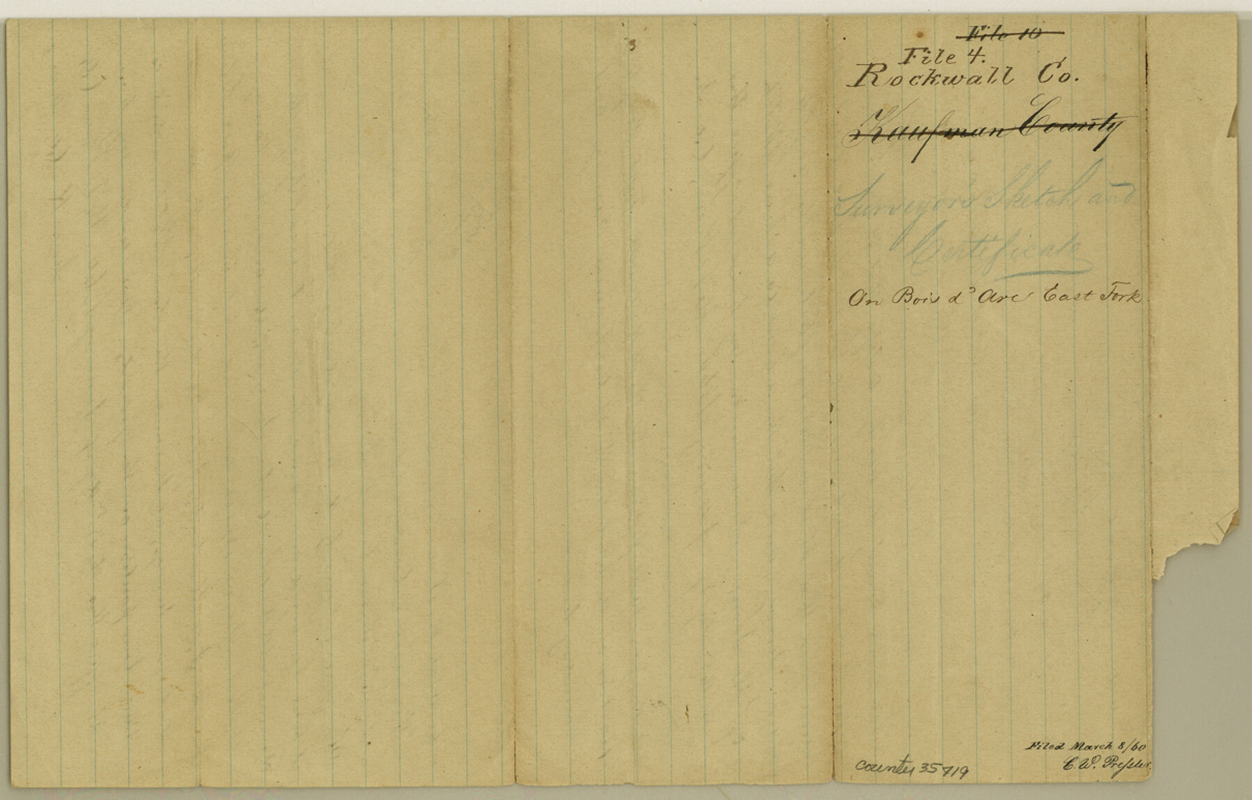
Rockwall County Sketch File 4
[Multiple sketches and statements of various areas in Rockwall County]
-
Map/Doc
35419
-
Collection
General Map Collection
-
Object Dates
1/31/1860 (Creation Date)
3/8/1860 (File Date)
-
People and Organizations
H.W. Kyser (Surveyor/Engineer)
-
Counties
Rockwall
-
Subjects
Surveying Sketch File
-
Height x Width
7.7 x 12.1 inches
19.6 x 30.7 cm
-
Medium
paper, manuscript
-
Features
East Fork of Bois d'Arc Creek
Cedar Creek
Part of: General Map Collection
Frio County Rolled Sketch 13

Print $20.00
- Digital $50.00
Frio County Rolled Sketch 13
1949
Size 36.8 x 26.7 inches
Map/Doc 5920

Brooks County Working Sketch 14

Print $20.00
- Digital $50.00
Brooks County Working Sketch 14
1944
Size 29.2 x 20.0 inches
Map/Doc 67798
Liberty County Working Sketch 9

Print $20.00
- Digital $50.00
Liberty County Working Sketch 9
Size 34.6 x 27.3 inches
Map/Doc 70468
Flight Mission No. BQR-9K, Frame 42, Brazoria County

Print $20.00
- Digital $50.00
Flight Mission No. BQR-9K, Frame 42, Brazoria County
1952
Size 18.6 x 22.2 inches
Map/Doc 84046
Reagan County Sketch File 5

Print $12.00
- Digital $50.00
Reagan County Sketch File 5
1927
Size 11.2 x 8.7 inches
Map/Doc 34980
[Cotton Belt] St. Louis Southwestern Railway of Texas, Alignment through Smith County
![64373, [Cotton Belt] St. Louis Southwestern Railway of Texas, Alignment through Smith County, General Map Collection](https://historictexasmaps.com/wmedia_w700/maps/64373.tif.jpg)
Print $20.00
- Digital $50.00
[Cotton Belt] St. Louis Southwestern Railway of Texas, Alignment through Smith County
1903
Size 21.4 x 28.4 inches
Map/Doc 64373
Rains County Working Sketch 5

Print $20.00
- Digital $50.00
Rains County Working Sketch 5
1950
Size 35.2 x 42.0 inches
Map/Doc 71831
Karnes County Sketch File 4

Print $8.00
- Digital $50.00
Karnes County Sketch File 4
1852
Size 5.5 x 6.8 inches
Map/Doc 28550
Travis County Working Sketch 52

Print $20.00
- Digital $50.00
Travis County Working Sketch 52
1985
Size 28.2 x 10.0 inches
Map/Doc 69436
Erath County Working Sketch 5

Print $20.00
- Digital $50.00
Erath County Working Sketch 5
1920
Size 27.6 x 17.1 inches
Map/Doc 69086
Newton County Working Sketch 8

Print $20.00
- Digital $50.00
Newton County Working Sketch 8
1937
Size 23.2 x 18.5 inches
Map/Doc 71254
You may also like
Erath County Working Sketch 2

Print $20.00
- Digital $50.00
Erath County Working Sketch 2
Size 18.0 x 22.6 inches
Map/Doc 69083
Culberson County Sketch File 23

Print $10.00
- Digital $50.00
Culberson County Sketch File 23
1938
Size 14.2 x 8.6 inches
Map/Doc 20238
Roberts County Working Sketch 31

Print $20.00
- Digital $50.00
Roberts County Working Sketch 31
1978
Size 26.6 x 22.4 inches
Map/Doc 63557
[Block 36, Townships 1 and 2 North]
![91364, [Block 36, Townships 1 and 2 North], Twichell Survey Records](https://historictexasmaps.com/wmedia_w700/maps/91364-1.tif.jpg)
Print $20.00
- Digital $50.00
[Block 36, Townships 1 and 2 North]
Size 17.3 x 35.4 inches
Map/Doc 91364
Bee County Rolled Sketch 1

Print $20.00
- Digital $50.00
Bee County Rolled Sketch 1
2022
Size 24.4 x 36.0 inches
Map/Doc 97029
Amistad International Reservoir on Rio Grande 63

Print $20.00
- Digital $50.00
Amistad International Reservoir on Rio Grande 63
1949
Size 28.2 x 39.5 inches
Map/Doc 73348
San Saba County

Print $20.00
- Digital $50.00
San Saba County
1918
Size 46.8 x 41.2 inches
Map/Doc 63022
Hardin County Rolled Sketch 12

Print $20.00
- Digital $50.00
Hardin County Rolled Sketch 12
1949
Size 36.3 x 47.3 inches
Map/Doc 10200
Brewster County Working Sketch 9

Print $20.00
- Digital $50.00
Brewster County Working Sketch 9
1910
Size 14.3 x 14.4 inches
Map/Doc 67542
[Sketch for Mineral Application 19144 - Pecos River Bed]
![65573, [Sketch for Mineral Application 19144 - Pecos River Bed], General Map Collection](https://historictexasmaps.com/wmedia_w700/maps/65573.tif.jpg)
Print $20.00
- Digital $50.00
[Sketch for Mineral Application 19144 - Pecos River Bed]
1927
Size 45.2 x 46.4 inches
Map/Doc 65573

General Highway Map, Nacogdoches County, Texas

Print $20.00
General Highway Map, Nacogdoches County, Texas
1940
Size 18.5 x 24.7 inches
Map/Doc 79205