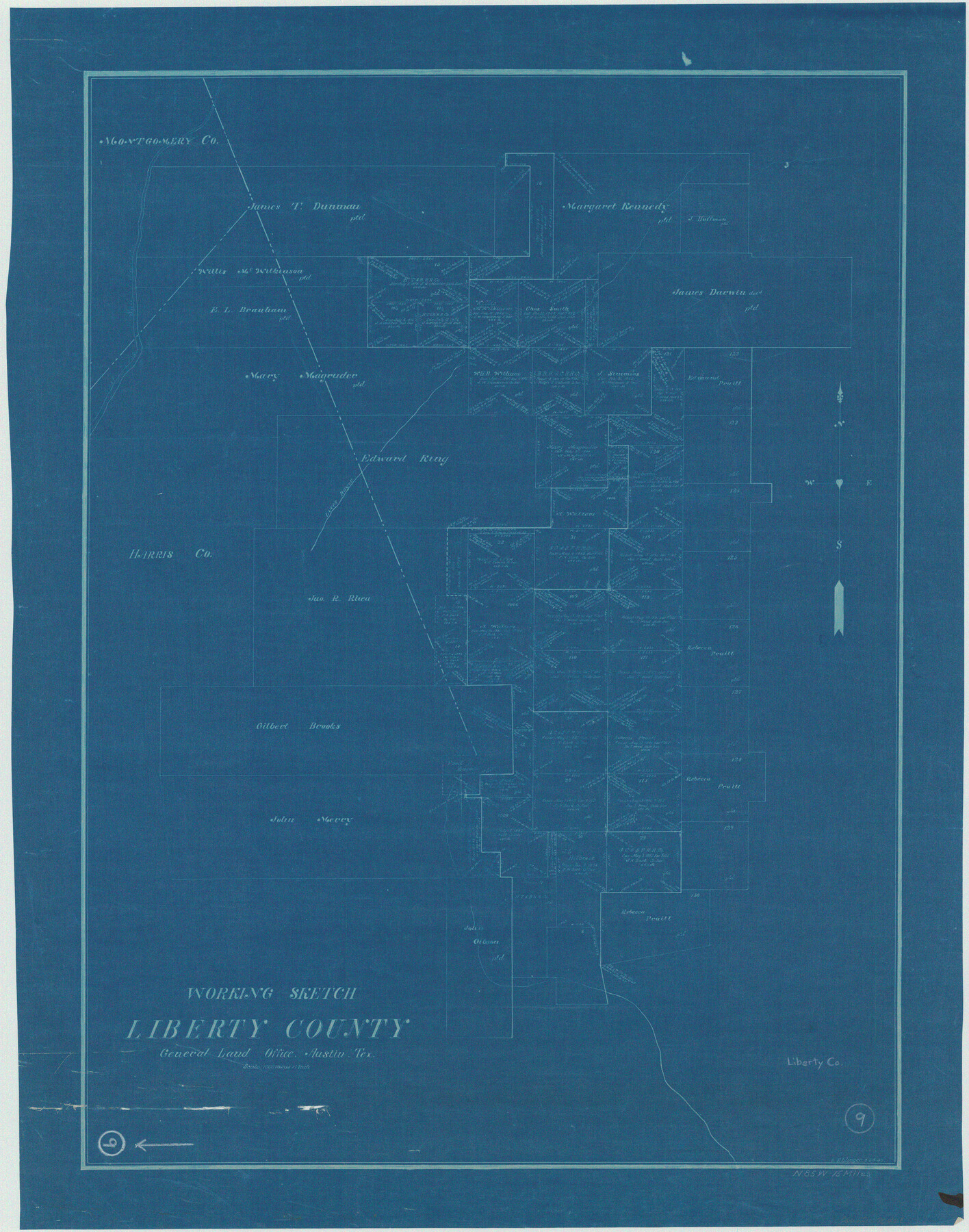
Liberty County Working Sketch 9
-
Map/Doc
70468
-
Collection
General Map Collection
-
People and Organizations
L. Ehlinger (Draftsman)
-
Counties
Liberty Montgomery Harris
-
Subjects
Surveying Working Sketch
-
Height x Width
34.6 x 27.3 inches
87.9 x 69.3 cm
-
Scale
1" = 1000 varas
Part of: General Map Collection
Kendall County Working Sketch 21

Print $20.00
- Digital $50.00
Kendall County Working Sketch 21
1970
Size 44.7 x 23.8 inches
Map/Doc 66693
Llano County Working Sketch 9

Print $20.00
- Digital $50.00
Llano County Working Sketch 9
1979
Size 33.4 x 24.0 inches
Map/Doc 70627
Ector County Rolled Sketch CE

Print $20.00
- Digital $50.00
Ector County Rolled Sketch CE
1928
Size 34.0 x 45.2 inches
Map/Doc 8832
Flight Mission No. DCL-6C, Frame 50, Kenedy County

Print $20.00
- Digital $50.00
Flight Mission No. DCL-6C, Frame 50, Kenedy County
1943
Size 18.7 x 22.4 inches
Map/Doc 85892
Harris County Sketch File 35a

Print $20.00
- Digital $50.00
Harris County Sketch File 35a
1921
Size 25.2 x 30.8 inches
Map/Doc 11651
Jasper County Working Sketch 18

Print $20.00
- Digital $50.00
Jasper County Working Sketch 18
1934
Size 22.4 x 30.5 inches
Map/Doc 66480
Fort Bend County Working Sketch 4

Print $20.00
- Digital $50.00
Fort Bend County Working Sketch 4
1909
Size 23.5 x 34.8 inches
Map/Doc 69210
Val Verde County Working Sketch 79

Print $40.00
- Digital $50.00
Val Verde County Working Sketch 79
1973
Size 51.0 x 32.4 inches
Map/Doc 72214
Denton County Sketch File 38

Print $26.00
- Digital $50.00
Denton County Sketch File 38
1934
Size 11.4 x 8.9 inches
Map/Doc 20778


Blanco County Working Sketch 19

Print $20.00
- Digital $50.00
Blanco County Working Sketch 19
1960
Size 24.4 x 29.2 inches
Map/Doc 67379
You may also like
Oldham County Working Sketch 5

Print $40.00
- Digital $50.00
Oldham County Working Sketch 5
1951
Size 43.0 x 59.3 inches
Map/Doc 71327
Bandera County Working Sketch 47

Print $20.00
- Digital $50.00
Bandera County Working Sketch 47
1981
Size 19.6 x 12.0 inches
Map/Doc 67643
Austin County Boundary File 2

Print $32.00
- Digital $50.00
Austin County Boundary File 2
Size 22.4 x 30.7 inches
Map/Doc 50236
Castro County Sketch File 4h

Print $4.00
- Digital $50.00
Castro County Sketch File 4h
Size 13.6 x 8.6 inches
Map/Doc 17479
Bexar County Sketch File 52

Print $28.00
- Digital $50.00
Bexar County Sketch File 52
1935
Size 13.5 x 16.8 inches
Map/Doc 14534
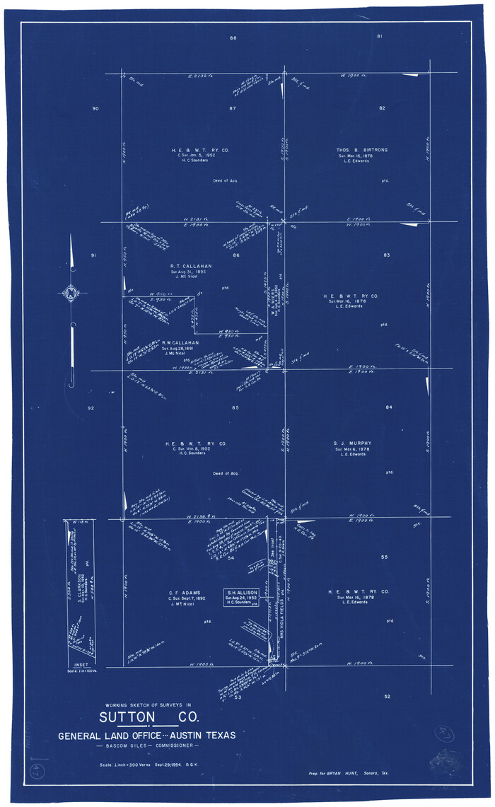
Sutton County Working Sketch 47
Print $20.00
- Digital $50.00
Sutton County Working Sketch 47
1954
Size 34.3 x 21.3 inches
Map/Doc 62390
Flight Mission No. CUG-1P, Frame 26, Kleberg County

Print $20.00
- Digital $50.00
Flight Mission No. CUG-1P, Frame 26, Kleberg County
1956
Size 18.6 x 22.2 inches
Map/Doc 86116

Liberty County Working Sketch 61

Print $20.00
- Digital $50.00
Liberty County Working Sketch 61
1969
Size 43.3 x 32.0 inches
Map/Doc 70521
Thomas Ross Survey

Print $20.00
- Digital $50.00
Thomas Ross Survey
1954
Size 16.8 x 17.6 inches
Map/Doc 92181
Collingsworth County Sketch File 1

Print $20.00
- Digital $50.00
Collingsworth County Sketch File 1
1888
Size 23.8 x 28.9 inches
Map/Doc 11128
Zavala County Sketch File 15a

Print $6.00
- Digital $50.00
Zavala County Sketch File 15a
1886
Size 14.4 x 9.0 inches
Map/Doc 41321