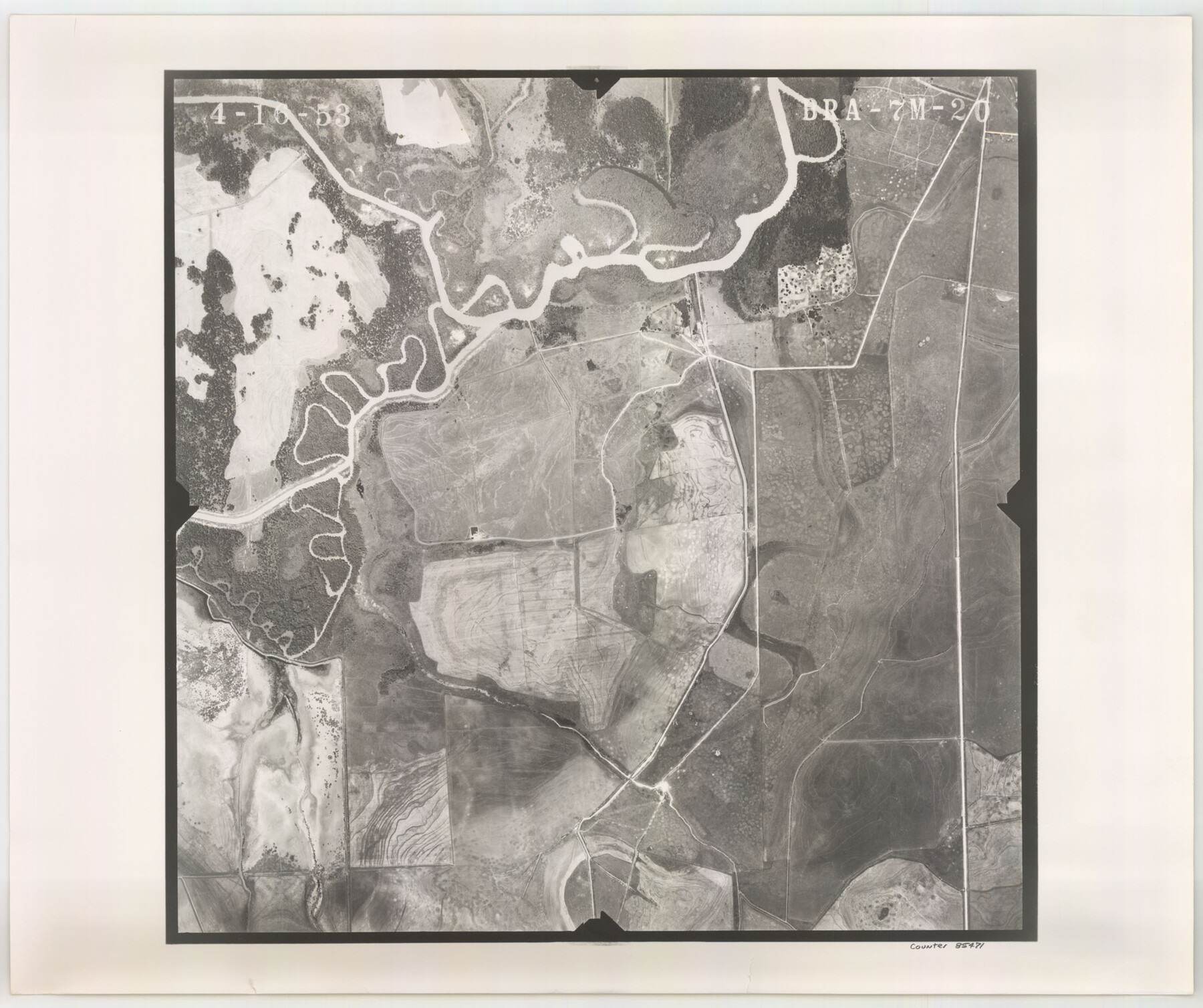
Flight Mission No. BRA-7M, Frame 20, Jefferson County
BRA-7M-20
- 
                          Map/Doc85471
- 
                            CollectionGeneral Map Collection
- 
                            Object Dates1953/4/16 (Creation Date)
- 
                            People and OrganizationsU. S. Department of Agriculture (Publisher)
- 
                            CountiesJefferson
- 
                            SubjectsAerial Photograph
- 
                            Height x Width18.6 x 22.2 inches47.2 x 56.4 cm
- 
                            CommentsFlown by Jack Ammann Photogrammetric Engineers of San Antonio, Texas.
Part of: General Map Collection
            Freestone County Working Sketch 15


                                            Print $40.00                    
                                             -                         Digital $50.00                                    
                Freestone County Working Sketch 15
1980
Size 56.5 x 33.7 inches
                                Map/Doc 69257
            
            Map of Crockett County


                                            Print $40.00                    
                                             -                         Digital $50.00                                    
                Map of Crockett County
1878
Size 62.6 x 49.7 inches
                                Map/Doc 93373
            
            Cameron County Working Sketch 3


                                            Print $20.00                    
                                             -                         Digital $50.00                                    
                Cameron County Working Sketch 3
1964
Size 40.8 x 38.6 inches
                                Map/Doc 67882
            
            Palo Pinto County Sketch File 6a


                                            Print $20.00                    
                                             -                         Digital $50.00                                    
                Palo Pinto County Sketch File 6a
Size 37.8 x 38.6 inches
                                Map/Doc 10565
            
            Bell County Sketch File 12


                                            Print $4.00                    
                                             -                         Digital $50.00                                    
                Bell County Sketch File 12
1852
Size 8.1 x 12.5 inches
                                Map/Doc 14385
            
            Calhoun County NRC Article 33.136 Sketch 8


                                            Print $28.00                    
                                             -                         Digital $50.00                                    
                Calhoun County NRC Article 33.136 Sketch 8
2019
Size 17.9 x 23.8 inches
                                Map/Doc 95371
            
            PSL Field Notes for Blocks 60, 61, 62, 83, 84, 85, 88, 89, 90, 91, 92, and 93 in Culberson County


            PSL Field Notes for Blocks 60, 61, 62, 83, 84, 85, 88, 89, 90, 91, 92, and 93 in Culberson County
Map/Doc 81667
            
            Garza County Rolled Sketch P


                                            Print $20.00                    
                                             -                         Digital $50.00                                    
                Garza County Rolled Sketch P
1914
Size 21.3 x 23.3 inches
                                Map/Doc 6005
            
            Kerr County Working Sketch 17


                                            Print $20.00                    
                                             -                         Digital $50.00                                    
                Kerr County Working Sketch 17
1956
Size 20.0 x 23.7 inches
                                Map/Doc 70048
            
            Sutton County Working Sketch 56


                                            Print $20.00                    
                                             -                         Digital $50.00                                    
                Sutton County Working Sketch 56
1958
Size 27.6 x 28.8 inches
                                Map/Doc 62399
            
            [Right of Way and Track Map, the Missouri, Kansas and Texas Ry. of Texas - Henrietta Division]
            
                                    ![64766, [Right of Way and Track Map, the Missouri, Kansas and Texas Ry. of Texas - Henrietta Division], General Map Collection](https://historictexasmaps.com/wmedia_w700/maps/64766.tif.jpg) 


    ![64766, [Right of Way and Track Map, the Missouri, Kansas and Texas Ry. of Texas - Henrietta Division], General Map Collection](https://historictexasmaps.com/wmedia_w700/maps/64766.tif.jpg) 
                                
            
                                            Print $20.00                    
                                             -                         Digital $50.00                                    
                [Right of Way and Track Map, the Missouri, Kansas and Texas Ry. of Texas - Henrietta Division]
1918
Size 11.8 x 26.9 inches
                                Map/Doc 64766
            You may also like
            Sunny San Antonio - The Winter Playground of America


            Sunny San Antonio - The Winter Playground of America
1920
Size 9.4 x 7.9 inches
                                Map/Doc 97040
            
            La Salle County Sketch File 19 1/2


                                            Print $28.00                    
                                             -                         Digital $50.00                                    
                La Salle County Sketch File 19 1/2
1886
Size 14.3 x 8.7 inches
                                Map/Doc 29515
            
            Coryell County Sketch File 12


                                            Print $20.00                    
                                             -                         Digital $50.00                                    
                Coryell County Sketch File 12
1863
Size 21.7 x 19.3 inches
                                Map/Doc 11181
            
            Young County Boundary File 1


                                            Print $8.00                    
                                             -                         Digital $50.00                                    
                Young County Boundary File 1
Size 10.3 x 8.2 inches
                                Map/Doc 60198
            
            Trinity County, Texas


                                            Print $20.00                    
                                             -                         Digital $50.00                                    
                Trinity County, Texas
1882
Size 20.3 x 17.4 inches
                                Map/Doc 485
            
            Liberty County Sketch File 25


                                            Print $8.00                    
                                             -                         Digital $50.00                                    
                Liberty County Sketch File 25
1861
Size 8.0 x 10.0 inches
                                Map/Doc 29939
            
            Presidio County Sketch File 70b


                                            Print $6.00                    
                                             -                         Digital $50.00                                    
                Presidio County Sketch File 70b
Size 11.2 x 8.9 inches
                                Map/Doc 34671
            
            Pecos County Sketch File 60


                                            Print $6.00                    
                                             -                         Digital $50.00                                    
                Pecos County Sketch File 60
Size 8.2 x 16.5 inches
                                Map/Doc 33786
            
            Map of section no. 11 of a survey of Padre Island made for the Office of the Attorney General of the State of Texas


                                            Print $40.00                    
                                             -                         Digital $50.00                                    
                Map of section no. 11 of a survey of Padre Island made for the Office of the Attorney General of the State of Texas
1941
Size 60.1 x 40.4 inches
                                Map/Doc 2267
            
            Navarro County Working Sketch 6


                                            Print $20.00                    
                                             -                         Digital $50.00                                    
                Navarro County Working Sketch 6
1950
Size 25.3 x 33.7 inches
                                Map/Doc 71236
            
            [Mary L. Williams or Lydia Glasgow Survey, Bastrop County, Texas]
            
                                    ![572, [Mary L. Williams or Lydia Glasgow Survey, Bastrop County, Texas], Maddox Collection](https://historictexasmaps.com/wmedia_w700/maps/0572-1.tif.jpg) 


    ![572, [Mary L. Williams or Lydia Glasgow Survey, Bastrop County, Texas], Maddox Collection](https://historictexasmaps.com/wmedia_w700/maps/0572-1.tif.jpg) 
                                
            
                                            Print $3.00                    
                                             -                         Digital $50.00                                    
                [Mary L. Williams or Lydia Glasgow Survey, Bastrop County, Texas]
Size 11.9 x 15.6 inches
                                Map/Doc 572
            
            [Sketch of Survey 9, Block Z3]
            
                                    ![93093, [Sketch of Survey 9, Block Z3], Twichell Survey Records](https://historictexasmaps.com/wmedia_w700/maps/93093-1.tif.jpg) 


    ![93093, [Sketch of Survey 9, Block Z3], Twichell Survey Records](https://historictexasmaps.com/wmedia_w700/maps/93093-1.tif.jpg) 
                                
            
                                            Print $2.00                    
                                             -                         Digital $50.00                                    
                [Sketch of Survey 9, Block Z3]
Size 7.6 x 6.6 inches
                                Map/Doc 93093
             
                            