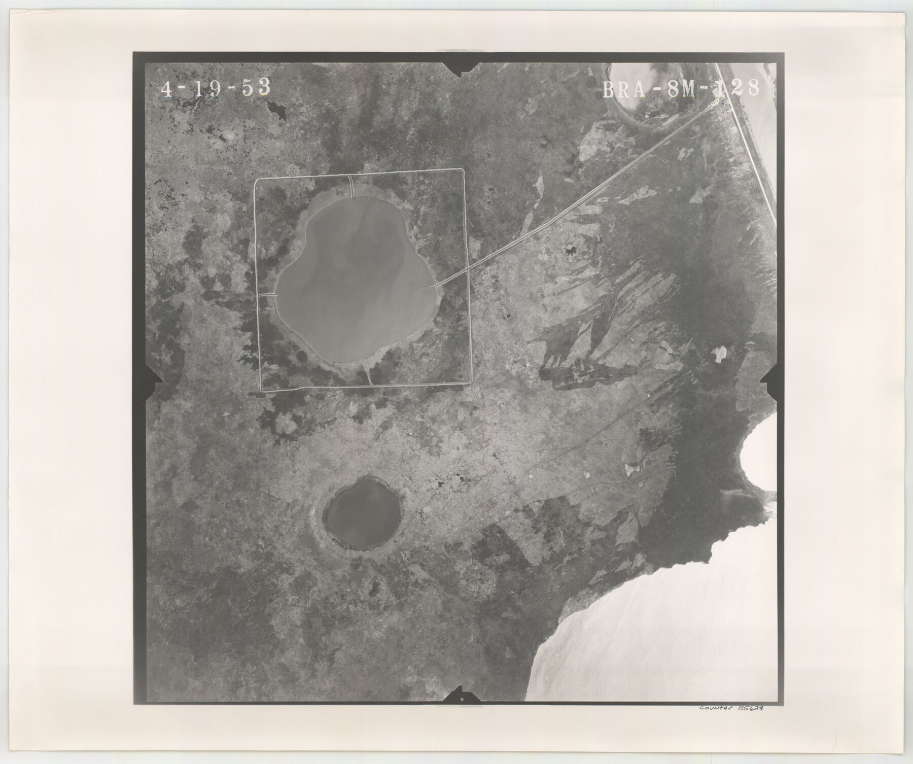
Flight Mission No. BRA-8M, Frame 128, Jefferson County
BRA-8M-128
-
Map/Doc
85624
-
Collection
General Map Collection
-
Object Dates
1953/4/19 (Creation Date)
-
People and Organizations
U. S. Department of Agriculture (Publisher)
-
Counties
Jefferson
-
Subjects
Aerial Photograph
-
Height x Width
18.6 x 22.3 inches
47.2 x 56.6 cm
-
Comments
Flown by Jack Ammann Photogrammetric Engineers of San Antonio, Texas.
Part of: General Map Collection
Edwards County Sketch File 10b

Print $20.00
- Digital $50.00
Edwards County Sketch File 10b
1903
Size 17.0 x 18.9 inches
Map/Doc 11423
Eastland County Rolled Sketch 24

Print $20.00
- Digital $50.00
Eastland County Rolled Sketch 24
1983
Size 33.5 x 38.0 inches
Map/Doc 8830
Reeves County Sketch File 1

Print $10.00
- Digital $50.00
Reeves County Sketch File 1
Size 9.0 x 15.8 inches
Map/Doc 35176
Gregg County Boundary File 5

Print $4.00
- Digital $50.00
Gregg County Boundary File 5
Size 13.5 x 8.7 inches
Map/Doc 53999
Blanco County Rolled Sketch 14

Print $20.00
- Digital $50.00
Blanco County Rolled Sketch 14
Size 26.0 x 19.7 inches
Map/Doc 5150
Moore County Sketch File 13

Print $24.00
- Digital $50.00
Moore County Sketch File 13
1919
Size 7.0 x 8.7 inches
Map/Doc 31949
Upshur County Sketch File 4

Print $4.00
- Digital $50.00
Upshur County Sketch File 4
1851
Size 4.7 x 6.5 inches
Map/Doc 38738
Wichita County Sketch File 25

Print $20.00
- Digital $50.00
Wichita County Sketch File 25
1919
Size 17.6 x 22.3 inches
Map/Doc 12685
Cherokee County Sketch File 35

Print $42.00
- Digital $50.00
Cherokee County Sketch File 35
1955
Size 11.5 x 8.8 inches
Map/Doc 18204
Montgomery County Sketch File 38

Print $8.00
- Digital $50.00
Montgomery County Sketch File 38
1899
Size 13.6 x 8.6 inches
Map/Doc 31919
Swisher County Sketch File 8

Print $20.00
- Digital $50.00
Swisher County Sketch File 8
1907
Size 19.2 x 16.3 inches
Map/Doc 12405
Palo Pinto County Rolled Sketch 4

Print $20.00
- Digital $50.00
Palo Pinto County Rolled Sketch 4
Size 15.9 x 23.2 inches
Map/Doc 7189
You may also like
Flight Mission No. DCL-7C, Frame 71, Kenedy County

Print $20.00
- Digital $50.00
Flight Mission No. DCL-7C, Frame 71, Kenedy County
1943
Size 15.5 x 15.1 inches
Map/Doc 86057
Flight Mission No. CGI-3N, Frame 44, Cameron County

Print $20.00
- Digital $50.00
Flight Mission No. CGI-3N, Frame 44, Cameron County
1954
Size 18.9 x 22.5 inches
Map/Doc 84550
Shackelford County Boundary File 4

Print $2.00
- Digital $50.00
Shackelford County Boundary File 4
Size 6.6 x 8.8 inches
Map/Doc 58660
Randall County Working Sketch 2

Print $20.00
- Digital $50.00
Randall County Working Sketch 2
1980
Size 28.6 x 31.3 inches
Map/Doc 71839
San Augustine County, Texas

Print $20.00
- Digital $50.00
San Augustine County, Texas
1879
Size 22.7 x 17.5 inches
Map/Doc 752
Fort Bend County Sketch File 17 1/2

Print $52.00
- Digital $50.00
Fort Bend County Sketch File 17 1/2
1896
Size 11.2 x 8.7 inches
Map/Doc 22934
Brazoria County Sketch File 46

Print $48.00
- Digital $50.00
Brazoria County Sketch File 46
1925
Size 14.3 x 8.8 inches
Map/Doc 15082
Van Zandt County Sketch File 28

Print $4.00
- Digital $50.00
Van Zandt County Sketch File 28
1859
Size 12.5 x 8.2 inches
Map/Doc 39451
No. 3 Chart of Channel connecting Corpus Christi Bay with Aransas Bay, Texas

Print $20.00
- Digital $50.00
No. 3 Chart of Channel connecting Corpus Christi Bay with Aransas Bay, Texas
1878
Size 18.3 x 27.9 inches
Map/Doc 72779
Flight Mission No. DQO-8K, Frame 143, Galveston County

Print $20.00
- Digital $50.00
Flight Mission No. DQO-8K, Frame 143, Galveston County
1952
Size 18.6 x 22.5 inches
Map/Doc 85205
Presidio County Rolled Sketch 123

Print $40.00
- Digital $50.00
Presidio County Rolled Sketch 123
Size 49.3 x 38.2 inches
Map/Doc 9798
Pecos County Sketch File 109

Print $5.00
- Digital $50.00
Pecos County Sketch File 109
1982
Size 14.8 x 9.3 inches
Map/Doc 34039