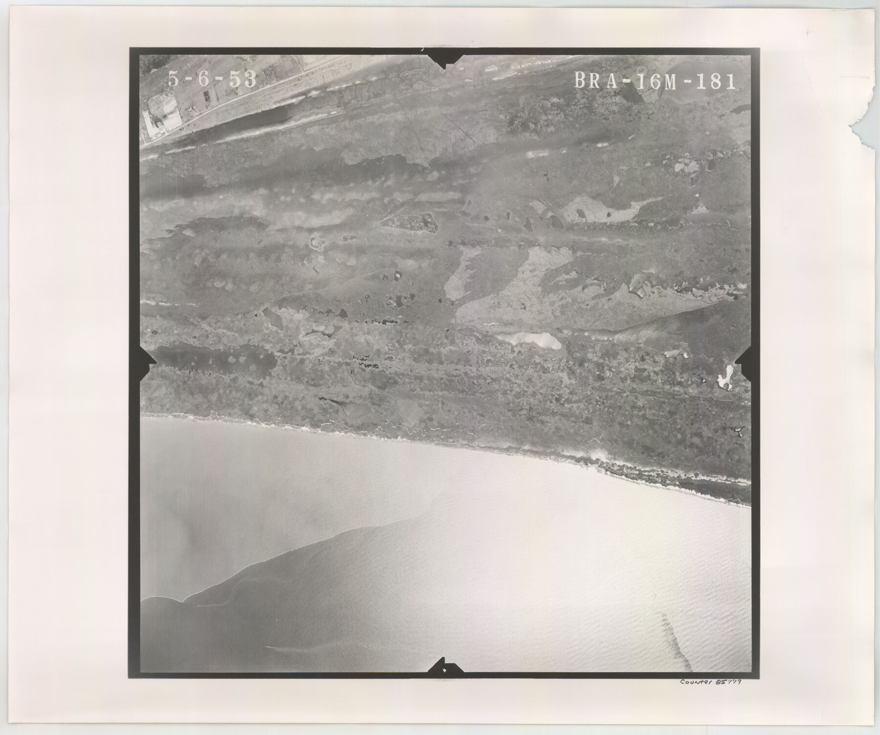
Flight Mission No. BRA-16M, Frame 181, Jefferson County
BRA-16M-181
-
Map/Doc
85779
-
Collection
General Map Collection
-
Object Dates
1953/5/6 (Creation Date)
-
People and Organizations
U. S. Department of Agriculture (Publisher)
-
Counties
Jefferson
-
Subjects
Aerial Photograph
-
Height x Width
18.6 x 22.2 inches
47.2 x 56.4 cm
-
Comments
Flown by Jack Ammann Photogrammetric Engineers of San Antonio, Texas.
Part of: General Map Collection
Flight Mission No. DQN-1K, Frame 114, Calhoun County

Print $20.00
- Digital $50.00
Flight Mission No. DQN-1K, Frame 114, Calhoun County
1953
Size 18.5 x 22.3 inches
Map/Doc 84180
Liberty County Working Sketch 33

Print $20.00
- Digital $50.00
Liberty County Working Sketch 33
1954
Size 30.6 x 36.7 inches
Map/Doc 70492
Flight Mission No. CRC-4R, Frame 100, Chambers County

Print $20.00
- Digital $50.00
Flight Mission No. CRC-4R, Frame 100, Chambers County
1956
Size 18.5 x 22.2 inches
Map/Doc 84897
Brewster County Working Sketch 8

Print $20.00
- Digital $50.00
Brewster County Working Sketch 8
1910
Size 42.3 x 30.3 inches
Map/Doc 67541
Mason County Sketch File 20

Print $12.00
- Digital $50.00
Mason County Sketch File 20
1901
Size 14.0 x 8.6 inches
Map/Doc 30711
Flight Mission No. CRK-7P, Frame 28, Refugio County

Print $20.00
- Digital $50.00
Flight Mission No. CRK-7P, Frame 28, Refugio County
1956
Size 18.4 x 22.1 inches
Map/Doc 86948
[Sketch for Mineral Application 24072, San Jacinto River]
![65595, [Sketch for Mineral Application 24072, San Jacinto River], General Map Collection](https://historictexasmaps.com/wmedia_w700/maps/65595.tif.jpg)
Print $20.00
- Digital $50.00
[Sketch for Mineral Application 24072, San Jacinto River]
1929
Size 15.0 x 17.5 inches
Map/Doc 65595
Burnet County Sketch File 5

Print $4.00
- Digital $50.00
Burnet County Sketch File 5
Size 6.9 x 8.0 inches
Map/Doc 16680
Rio Grande, Hargill Sheet

Print $20.00
- Digital $50.00
Rio Grande, Hargill Sheet
1935
Size 37.1 x 38.1 inches
Map/Doc 65121
King County Rolled Sketch 8

Print $20.00
- Digital $50.00
King County Rolled Sketch 8
1902
Size 34.8 x 29.8 inches
Map/Doc 6531
Sabine Bank to East Bay including Heald Bank

Print $20.00
- Digital $50.00
Sabine Bank to East Bay including Heald Bank
1971
Size 45.0 x 34.4 inches
Map/Doc 69849
Cherokee County

Print $40.00
- Digital $50.00
Cherokee County
1933
Size 57.0 x 38.8 inches
Map/Doc 77236
You may also like
Nautical Chart 11332 - Intracoastal Waterway - Galveston Bay to Cedar Lakes

Print $40.00
- Digital $50.00
Nautical Chart 11332 - Intracoastal Waterway - Galveston Bay to Cedar Lakes
1984
Size 21.6 x 60.2 inches
Map/Doc 69941
Blanco County Working Sketch 14

Print $20.00
- Digital $50.00
Blanco County Working Sketch 14
1948
Size 36.2 x 28.8 inches
Map/Doc 67374
[G. C. & S. F. Block S, E. L. & R. R. Block M and B9, D. & W. Block 24]
![91278, [G. C. & S. F. Block S, E. L. & R. R. Block M and B9, D. & W. Block 24], Twichell Survey Records](https://historictexasmaps.com/wmedia_w700/maps/91278-1.tif.jpg)
Print $20.00
- Digital $50.00
[G. C. & S. F. Block S, E. L. & R. R. Block M and B9, D. & W. Block 24]
Size 20.7 x 15.7 inches
Map/Doc 91278
San Patricio County Working Sketch 7

Print $20.00
- Digital $50.00
San Patricio County Working Sketch 7
1936
Size 18.3 x 15.9 inches
Map/Doc 63769
Harris County Rolled Sketch P3

Print $20.00
- Digital $50.00
Harris County Rolled Sketch P3
1933
Size 13.9 x 20.0 inches
Map/Doc 6142
General Highway Map. Detail of Cities and Towns in Nacogdoches County, Texas

Print $20.00
General Highway Map. Detail of Cities and Towns in Nacogdoches County, Texas
1961
Size 19.3 x 25.0 inches
Map/Doc 79608
Intracoastal Waterway - Gibbstown to Port Arthur

Print $20.00
- Digital $50.00
Intracoastal Waterway - Gibbstown to Port Arthur
1960
Size 26.9 x 38.9 inches
Map/Doc 69831
Bailey County Rolled Sketch 7

Print $40.00
- Digital $50.00
Bailey County Rolled Sketch 7
1941
Size 67.7 x 44.8 inches
Map/Doc 8438
Central America Including Texas, California, and the Northern States Mexico

Print $20.00
Central America Including Texas, California, and the Northern States Mexico
1842
Size 13.8 x 16.7 inches
Map/Doc 76273
[Survey 1, Block MT, and vicinity]
![90683, [Survey 1, Block MT, and vicinity], Twichell Survey Records](https://historictexasmaps.com/wmedia_w700/maps/90683-1.tif.jpg)
Print $3.00
- Digital $50.00
[Survey 1, Block MT, and vicinity]
1903
Size 11.1 x 14.6 inches
Map/Doc 90683
Flight Mission No. BQY-15M, Frame 18, Harris County

Print $20.00
- Digital $50.00
Flight Mission No. BQY-15M, Frame 18, Harris County
1953
Size 18.6 x 22.5 inches
Map/Doc 85316
[Sketch for Mineral Application 16700 - Pecos River Bed]
![2810, [Sketch for Mineral Application 16700 - Pecos River Bed], General Map Collection](https://historictexasmaps.com/wmedia_w700/maps/2810.tif.jpg)
Print $20.00
- Digital $50.00
[Sketch for Mineral Application 16700 - Pecos River Bed]
1927
Size 17.0 x 36.1 inches
Map/Doc 2810