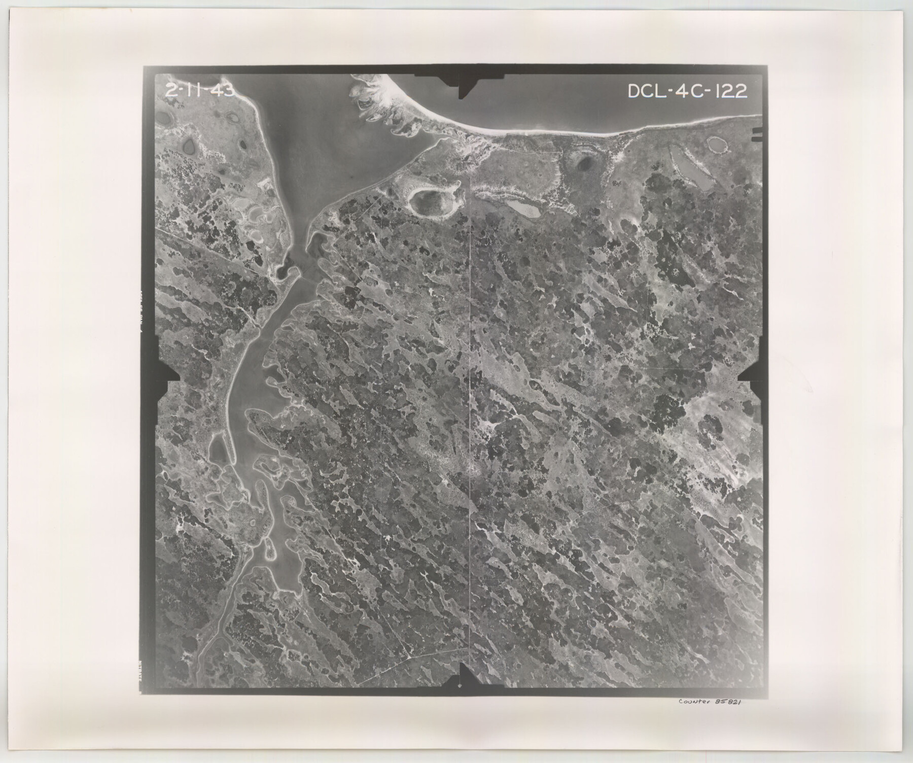
Flight Mission No. DCL-4C, Frame 122, Kenedy County
DCL-4C-122
-
Map/Doc
85821
-
Collection
General Map Collection
-
Object Dates
1943/2/11 (Creation Date)
-
People and Organizations
U. S. Department of Agriculture (Publisher)
-
Counties
Kenedy
-
Subjects
Aerial Photograph
-
Height x Width
18.6 x 22.3 inches
47.2 x 56.6 cm
-
Comments
Flown by Aerial Surveys of Pittsburgh, Inc. of Pittsburgh, Pennsylvania.
Part of: General Map Collection
Crockett County Rolled Sketch 30

Print $20.00
- Digital $50.00
Crockett County Rolled Sketch 30
1934
Size 24.5 x 43.1 inches
Map/Doc 8700
Williamson County Working Sketch 2

Print $20.00
- Digital $50.00
Williamson County Working Sketch 2
1915
Size 22.7 x 17.9 inches
Map/Doc 72562
Trinity County Sketch File 1

Print $4.00
- Digital $50.00
Trinity County Sketch File 1
1855
Size 8.3 x 8.2 inches
Map/Doc 38488
Houston County Sketch File 18a

Print $40.00
- Digital $50.00
Houston County Sketch File 18a
Size 12.7 x 15.9 inches
Map/Doc 26783
Brewster County Working Sketch Graphic Index, North Part, Sheet 1 (Sketches 1 to 86)

Print $20.00
- Digital $50.00
Brewster County Working Sketch Graphic Index, North Part, Sheet 1 (Sketches 1 to 86)
1956
Size 42.3 x 40.4 inches
Map/Doc 76473
Hamilton County Sketch File 1

Print $4.00
- Digital $50.00
Hamilton County Sketch File 1
Size 12.5 x 8.2 inches
Map/Doc 24897
Hardin County Working Sketch 4

Print $3.00
- Digital $50.00
Hardin County Working Sketch 4
1906
Size 11.0 x 16.8 inches
Map/Doc 63402
Flight Mission No. CRC-5R, Frame 32, Chambers County

Print $20.00
- Digital $50.00
Flight Mission No. CRC-5R, Frame 32, Chambers County
1956
Size 18.5 x 22.4 inches
Map/Doc 84951
Fisher County Sketch File 24

Print $37.00
- Digital $50.00
Fisher County Sketch File 24
1875
Size 14.3 x 8.9 inches
Map/Doc 22666
Boundary Between the United States & Mexico Agreed upon by the Joint Commission under the Treaty of Guadalupe Hidalgo

Print $20.00
- Digital $50.00
Boundary Between the United States & Mexico Agreed upon by the Joint Commission under the Treaty of Guadalupe Hidalgo
1853
Size 18.3 x 26.7 inches
Map/Doc 72885
Brewster County Working Sketch 84

Print $20.00
- Digital $50.00
Brewster County Working Sketch 84
1973
Size 44.9 x 39.4 inches
Map/Doc 67684
Schleicher County Working Sketch 3

Print $20.00
- Digital $50.00
Schleicher County Working Sketch 3
1914
Size 23.2 x 17.6 inches
Map/Doc 63805
You may also like
Taylor County Rolled Sketch 25

Print $20.00
- Digital $50.00
Taylor County Rolled Sketch 25
1962
Size 27.1 x 46.0 inches
Map/Doc 7917
Nueces County NRC Article 33.136 Sketch 18

Print $74.00
- Digital $50.00
Nueces County NRC Article 33.136 Sketch 18
2014
Size 22.0 x 34.0 inches
Map/Doc 94714
Hutchinson County Rolled Sketch 38

Print $40.00
- Digital $50.00
Hutchinson County Rolled Sketch 38
1955
Size 43.6 x 67.7 inches
Map/Doc 9248
Gray County Working Sketch 2

Print $20.00
- Digital $50.00
Gray County Working Sketch 2
1957
Size 26.7 x 27.8 inches
Map/Doc 63233
Donley County Sketch File 15a

Print $20.00
- Digital $50.00
Donley County Sketch File 15a
Size 16.8 x 27.1 inches
Map/Doc 11365
General Highway Map, Swisher County, Texas

Print $20.00
General Highway Map, Swisher County, Texas
1940
Size 18.4 x 25.0 inches
Map/Doc 79250
Texas State Capitol Land

Print $40.00
- Digital $50.00
Texas State Capitol Land
1915
Size 76.6 x 55.6 inches
Map/Doc 93156
Grimes County Rolled Sketch 2

Print $20.00
- Digital $50.00
Grimes County Rolled Sketch 2
Size 29.2 x 24.3 inches
Map/Doc 6043
Angelina County Sketch File 21b

Print $6.00
- Digital $50.00
Angelina County Sketch File 21b
1889
Size 13.9 x 8.5 inches
Map/Doc 13044
Angelina County Working Sketch 42

Print $20.00
- Digital $50.00
Angelina County Working Sketch 42
1960
Size 22.4 x 18.2 inches
Map/Doc 67125
Wheeler County Working Sketch 8

Print $40.00
- Digital $50.00
Wheeler County Working Sketch 8
1972
Size 59.4 x 42.0 inches
Map/Doc 72497
Polk County Working Sketch 19

Print $20.00
- Digital $50.00
Polk County Working Sketch 19
1950
Size 34.0 x 26.5 inches
Map/Doc 71634