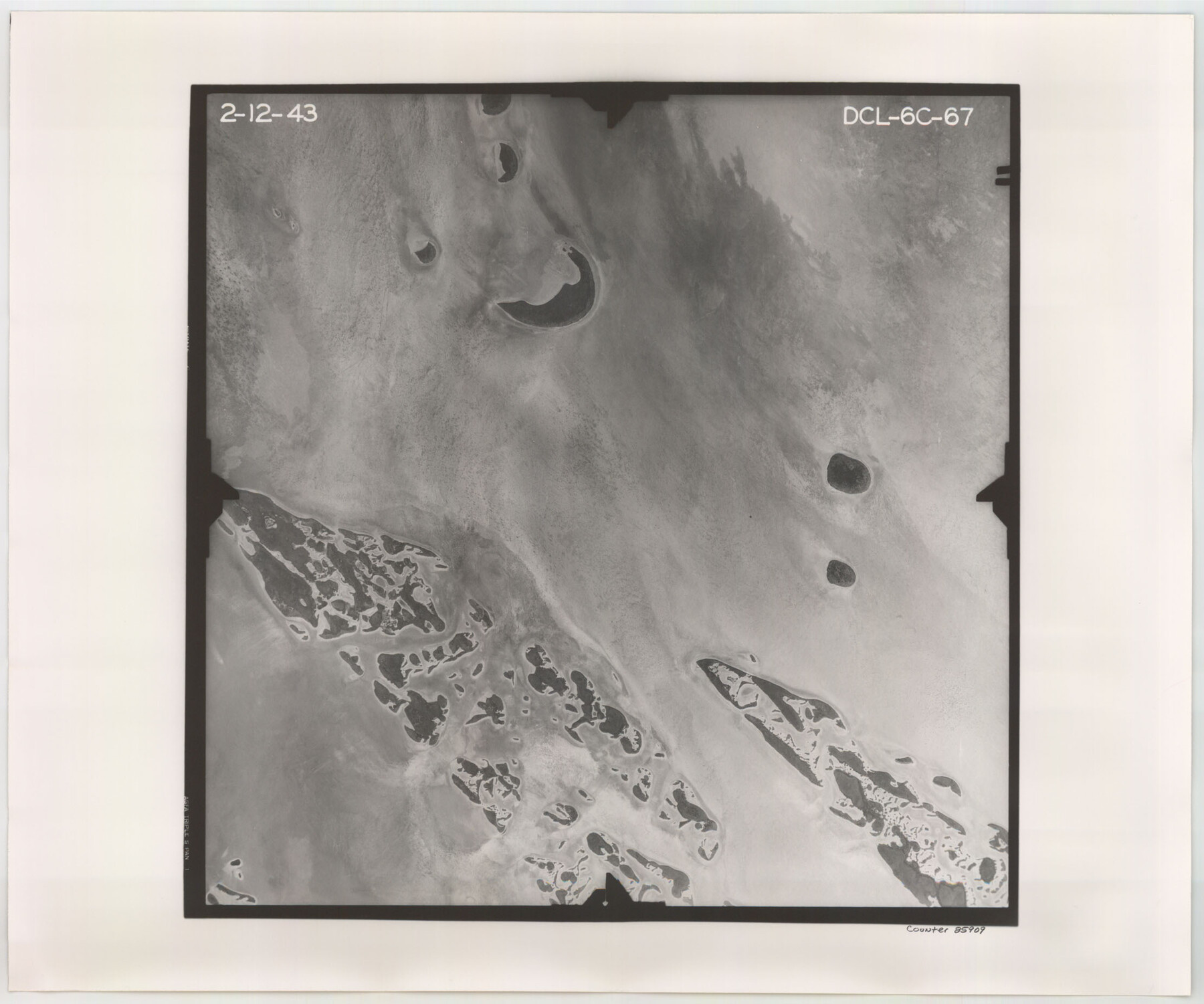
Flight Mission No. DCL-6C, Frame 67, Kenedy County
DCL-6C-67
-
Map/Doc
85909
-
Collection
General Map Collection
-
Object Dates
1943/2/12 (Creation Date)
-
People and Organizations
U. S. Department of Agriculture (Publisher)
-
Counties
Kenedy
-
Subjects
Aerial Photograph
-
Height x Width
18.6 x 22.2 inches
47.2 x 56.4 cm
-
Comments
Flown by Aerial Surveys of Pittsburgh, Inc. of Pittsburgh, Pennsylvania.
Part of: General Map Collection
Eastland County Working Sketch 63

Print $20.00
- Digital $50.00
Eastland County Working Sketch 63
1997
Size 36.7 x 37.6 inches
Map/Doc 68844

Starr County Sketch File 7

Print $20.00
- Digital $50.00
Starr County Sketch File 7
Size 25.4 x 20.8 inches
Map/Doc 12326
Falls County Sketch File 20

Print $12.00
- Digital $50.00
Falls County Sketch File 20
1869
Size 10.0 x 8.3 inches
Map/Doc 22388
Liberty County Working Sketch 17

Print $20.00
- Digital $50.00
Liberty County Working Sketch 17
1934
Size 34.5 x 24.0 inches
Map/Doc 70476
Brewster County Working Sketch 26

Print $20.00
- Digital $50.00
Brewster County Working Sketch 26
1940
Size 20.7 x 32.1 inches
Map/Doc 67560
Grayson County Working Sketch 5

Print $20.00
- Digital $50.00
Grayson County Working Sketch 5
1939
Size 28.4 x 40.6 inches
Map/Doc 63244
Kinney County Working Sketch 59

Print $20.00
- Digital $50.00
Kinney County Working Sketch 59
1999
Size 19.9 x 24.8 inches
Map/Doc 70241
Uvalde County Sketch File 23

Print $20.00
- Digital $50.00
Uvalde County Sketch File 23
1923
Size 20.8 x 23.5 inches
Map/Doc 12534
Armstrong County Sketch File B

Print $26.00
- Digital $50.00
Armstrong County Sketch File B
1903
Size 14.2 x 8.5 inches
Map/Doc 13669

San Jacinto County Sketch File 12a

Print $20.00
San Jacinto County Sketch File 12a
Size 12.8 x 14.3 inches
Map/Doc 35722
You may also like
Pecos County Working Sketch 131

Print $20.00
- Digital $50.00
Pecos County Working Sketch 131
1977
Size 27.8 x 21.1 inches
Map/Doc 71605
Map of Callahan County, Texas

Print $20.00
- Digital $50.00
Map of Callahan County, Texas
1879
Size 24.6 x 19.6 inches
Map/Doc 4337
Upshur County Working Sketch 10a

Print $20.00
- Digital $50.00
Upshur County Working Sketch 10a
1969
Size 15.8 x 18.7 inches
Map/Doc 69567
Ownership Map of Lynn County

Print $20.00
- Digital $50.00
Ownership Map of Lynn County
Size 34.5 x 36.1 inches
Map/Doc 92900
Brewster County Sketch File S-17

Print $30.00
- Digital $50.00
Brewster County Sketch File S-17
1939
Size 11.3 x 8.8 inches
Map/Doc 15799
Harris County NRC Article 33.136 Sketch 15

Print $28.00
- Digital $50.00
Harris County NRC Article 33.136 Sketch 15
2012
Size 24.0 x 18.0 inches
Map/Doc 94762
Brewster County Rolled Sketch 27

Print $40.00
- Digital $50.00
Brewster County Rolled Sketch 27
Size 35.1 x 48.8 inches
Map/Doc 8474
Throckmorton County Working Sketch 11

Print $20.00
- Digital $50.00
Throckmorton County Working Sketch 11
1994
Size 43.9 x 34.1 inches
Map/Doc 62120
[Map of Portion of Pecos County as Surveyed by F. F. Friend]
![91562, [Map of Portion of Pecos County as Surveyed by F. F. Friend], Twichell Survey Records](https://historictexasmaps.com/wmedia_w700/maps/91562-1.tif.jpg)
Print $3.00
- Digital $50.00
[Map of Portion of Pecos County as Surveyed by F. F. Friend]
1926
Size 17.0 x 11.4 inches
Map/Doc 91562
Edwards County Sketch File 48

Print $6.00
- Digital $50.00
Edwards County Sketch File 48
1955
Size 9.7 x 7.6 inches
Map/Doc 21797
Menard County Working Sketch 22

Print $20.00
- Digital $50.00
Menard County Working Sketch 22
1950
Size 31.7 x 38.7 inches
Map/Doc 70969
Johnson County Working Sketch 25

Print $20.00
- Digital $50.00
Johnson County Working Sketch 25
1998
Size 13.3 x 25.4 inches
Map/Doc 66638