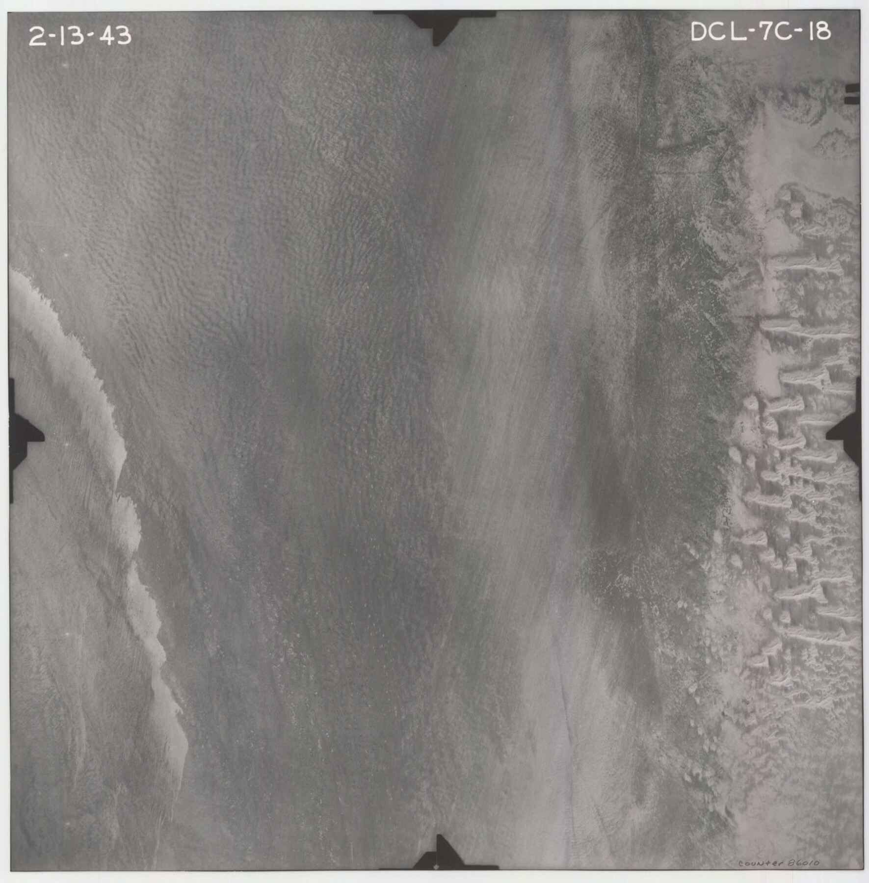
Flight Mission No. DCL-7C, Frame 18, Kenedy County
DCL-7C-18
-
Map/Doc
86010
-
Collection
General Map Collection
-
Object Dates
1943/2/13 (Creation Date)
-
People and Organizations
U. S. Department of Agriculture (Publisher)
-
Counties
Kenedy
-
Subjects
Aerial Photograph
-
Height x Width
15.4 x 15.2 inches
39.1 x 38.6 cm
-
Comments
Flown by Aerial Surveys of Pittsburgh, Inc. of Pittsburgh, Pennsylvania.
Part of: General Map Collection
Comal County Boundary File 1

Print $5.00
- Digital $50.00
Comal County Boundary File 1
Size 12.9 x 11.0 inches
Map/Doc 51776
Edwards County Sketch File 49

Print $20.00
- Digital $50.00
Edwards County Sketch File 49
1958
Size 25.6 x 27.9 inches
Map/Doc 11444
Eastland County Working Sketch 66

Print $20.00
- Digital $50.00
Eastland County Working Sketch 66
2014
Size 27.2 x 20.1 inches
Map/Doc 93708
Intracoastal Waterway - Laguna Madre - Chubby Island to Stover Point including the Arroyo Colorado, Texas

Print $20.00
- Digital $50.00
Intracoastal Waterway - Laguna Madre - Chubby Island to Stover Point including the Arroyo Colorado, Texas
1976
Size 16.0 x 43.9 inches
Map/Doc 75901
Chambers County Sketch File 49

Print $26.00
- Digital $50.00
Chambers County Sketch File 49
Size 14.3 x 8.9 inches
Map/Doc 18045
Presidio County Sketch File 45

Print $6.00
- Digital $50.00
Presidio County Sketch File 45
1914
Size 11.3 x 8.8 inches
Map/Doc 34532
Flight Mission No. CRC-3R, Frame 53, Chambers County

Print $20.00
- Digital $50.00
Flight Mission No. CRC-3R, Frame 53, Chambers County
1956
Size 18.6 x 22.4 inches
Map/Doc 84825
Montgomery County Sketch File 19

Print $24.00
- Digital $50.00
Montgomery County Sketch File 19
1931
Size 9.0 x 7.0 inches
Map/Doc 31835
Angelina County Sketch File 13

Print $4.00
- Digital $50.00
Angelina County Sketch File 13
1860
Size 13.0 x 8.2 inches
Map/Doc 12957
Terrell County Rolled Sketch 27

Print $20.00
- Digital $50.00
Terrell County Rolled Sketch 27
Size 24.8 x 20.7 inches
Map/Doc 7934
San Jacinto County Working Sketch 45

Print $20.00
- Digital $50.00
San Jacinto County Working Sketch 45
1986
Size 41.0 x 46.7 inches
Map/Doc 63759
Flight Mission No. BRA-7M, Frame 8, Jefferson County

Print $20.00
- Digital $50.00
Flight Mission No. BRA-7M, Frame 8, Jefferson County
1953
Size 18.6 x 22.4 inches
Map/Doc 85459
You may also like
La Salle County Sketch File 18

Print $4.00
- Digital $50.00
La Salle County Sketch File 18
1885
Size 8.5 x 15.5 inches
Map/Doc 29507

Terry County Rolled Sketch 2

Print $20.00
- Digital $50.00
Terry County Rolled Sketch 2
1908
Size 25.5 x 36.8 inches
Map/Doc 7980
[Aransas Bay]
![72970, [Aransas Bay], General Map Collection](https://historictexasmaps.com/wmedia_w700/maps/72970.tif.jpg)
Print $20.00
- Digital $50.00
[Aransas Bay]
1846
Size 24.3 x 18.3 inches
Map/Doc 72970
Stonewall County Boundary File 1

Print $34.00
- Digital $50.00
Stonewall County Boundary File 1
Size 9.0 x 8.4 inches
Map/Doc 58938
Knox County Sketch File 26

Print $40.00
- Digital $50.00
Knox County Sketch File 26
1957
Size 17.3 x 14.4 inches
Map/Doc 29262
Brewster County Sketch File FN-33

Print $6.00
- Digital $50.00
Brewster County Sketch File FN-33
1975
Size 11.1 x 8.7 inches
Map/Doc 15858
Val Verde County

Print $20.00
- Digital $50.00
Val Verde County
1944
Size 41.3 x 36.6 inches
Map/Doc 95661
Flight Mission No. DQN-2K, Frame 49, Calhoun County

Print $20.00
- Digital $50.00
Flight Mission No. DQN-2K, Frame 49, Calhoun County
1953
Size 17.3 x 18.8 inches
Map/Doc 84254
Hockley County Sketch File 12

Print $20.00
- Digital $50.00
Hockley County Sketch File 12
1902
Size 17.5 x 17.0 inches
Map/Doc 11772
Irion County Working Sketch 9

Print $20.00
- Digital $50.00
Irion County Working Sketch 9
1941
Size 13.6 x 17.2 inches
Map/Doc 66418
Webb County Working Sketch Graphic Index - south part

Print $40.00
- Digital $50.00
Webb County Working Sketch Graphic Index - south part
1984
Size 43.4 x 62.9 inches
Map/Doc 76735