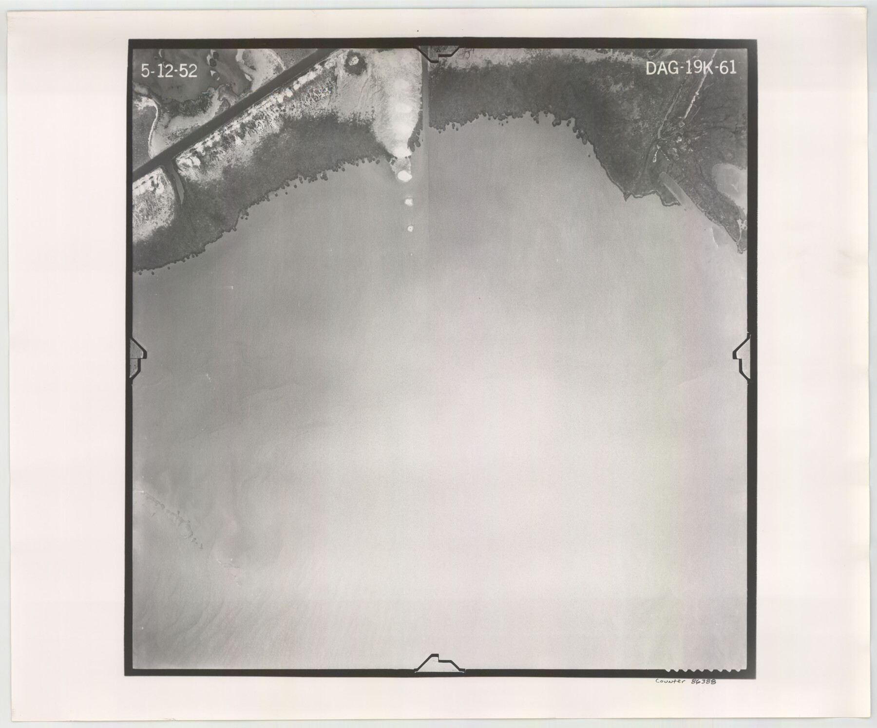
Flight Mission No. DAG-19K, Frame 61, Matagorda County
DAG-19K-61
-
Map/Doc
86388
-
Collection
General Map Collection
-
Object Dates
1952/5/12 (Creation Date)
-
People and Organizations
U. S. Department of Agriculture (Publisher)
-
Counties
Matagorda
-
Subjects
Aerial Photograph
-
Height x Width
18.6 x 22.3 inches
47.2 x 56.6 cm
-
Comments
Flown by Aero Exploration Company of Tulsa, Oklahoma.
Part of: General Map Collection
Township No. 3 South Range No. 19 West of the Indian Meridian

Print $20.00
- Digital $50.00
Township No. 3 South Range No. 19 West of the Indian Meridian
1875
Size 19.2 x 24.5 inches
Map/Doc 75182
Harris County Rolled Sketch 72

Print $40.00
- Digital $50.00
Harris County Rolled Sketch 72
1945
Size 23.0 x 48.3 inches
Map/Doc 9132
Colorado County Working Sketch 21

Print $20.00
- Digital $50.00
Colorado County Working Sketch 21
1963
Size 32.1 x 30.5 inches
Map/Doc 68121
Flight Mission No. DIX-5P, Frame 108, Aransas County

Print $20.00
- Digital $50.00
Flight Mission No. DIX-5P, Frame 108, Aransas County
1956
Size 17.2 x 18.1 inches
Map/Doc 83787
Nueces County NRC Article 33.136 Sketch 12

Print $80.00
- Digital $50.00
Nueces County NRC Article 33.136 Sketch 12
2000
Size 24.9 x 36.7 inches
Map/Doc 83065
Victoria County

Print $20.00
- Digital $50.00
Victoria County
1895
Size 29.7 x 25.7 inches
Map/Doc 4118
Austin County Sketch File 6a

Print $14.00
- Digital $50.00
Austin County Sketch File 6a
1895
Size 11.2 x 8.6 inches
Map/Doc 13865
Briscoe County

Print $20.00
- Digital $50.00
Briscoe County
1930
Size 42.5 x 35.8 inches
Map/Doc 77222
Zavala County Rolled Sketch 31

Print $20.00
- Digital $50.00
Zavala County Rolled Sketch 31
1883
Size 37.4 x 27.1 inches
Map/Doc 8332
Galveston County NRC Article 33.136 Location Key Sheet

Print $20.00
- Digital $50.00
Galveston County NRC Article 33.136 Location Key Sheet
1995
Size 27.0 x 22.0 inches
Map/Doc 83592
Flight Mission No. BRE-1P, Frame 58, Nueces County

Print $20.00
- Digital $50.00
Flight Mission No. BRE-1P, Frame 58, Nueces County
1956
Size 18.5 x 22.2 inches
Map/Doc 86647
Flight Mission No. BQR-3K, Frame 163, Brazoria County

Print $20.00
- Digital $50.00
Flight Mission No. BQR-3K, Frame 163, Brazoria County
1952
Size 18.7 x 22.3 inches
Map/Doc 83990
You may also like
Flight Mission No. CRC-3R, Frame 25, Chambers County

Print $20.00
- Digital $50.00
Flight Mission No. CRC-3R, Frame 25, Chambers County
1956
Size 18.5 x 22.3 inches
Map/Doc 84799
Flight Mission No. BQY-4M, Frame 57, Harris County

Print $20.00
- Digital $50.00
Flight Mission No. BQY-4M, Frame 57, Harris County
1953
Size 18.5 x 22.3 inches
Map/Doc 85266
Part of Tom Green County, Texas (No. 3)

Print $20.00
- Digital $50.00
Part of Tom Green County, Texas (No. 3)
1870
Size 22.9 x 17.7 inches
Map/Doc 5047
Plat Showing Position of Hancock Tract and the City of Austin

Print $20.00
- Digital $50.00
Plat Showing Position of Hancock Tract and the City of Austin
Size 22.4 x 17.5 inches
Map/Doc 599
Val Verde County Working Sketch 117

Print $20.00
- Digital $50.00
Val Verde County Working Sketch 117
1993
Size 30.9 x 37.0 inches
Map/Doc 82844
Mason County Working Sketch 9

Print $20.00
- Digital $50.00
Mason County Working Sketch 9
1949
Size 34.4 x 29.4 inches
Map/Doc 70845
[Sketch for Mineral Application 13436 - Cut-off Bayou]
![65675, [Sketch for Mineral Application 13436 - Cut-off Bayou], General Map Collection](https://historictexasmaps.com/wmedia_w700/maps/65675-1.tif.jpg)
Print $20.00
- Digital $50.00
[Sketch for Mineral Application 13436 - Cut-off Bayou]
1928
Size 21.3 x 44.3 inches
Map/Doc 65675
Carte des Côtes du Golfe du Mexique compris entre la Pointe Sud de la Presqu'Ile de la Floride et la Pointe Nord de la Presqu'Ile d'Yucatan

Print $20.00
- Digital $50.00
Carte des Côtes du Golfe du Mexique compris entre la Pointe Sud de la Presqu'Ile de la Floride et la Pointe Nord de la Presqu'Ile d'Yucatan
1800
Size 26.0 x 37.5 inches
Map/Doc 95322
Comanche County Sketch File 29

Print $23.00
- Digital $50.00
Comanche County Sketch File 29
1954
Size 13.4 x 10.2 inches
Map/Doc 19120
San Augustine County Rolled Sketch 1

Print $20.00
- Digital $50.00
San Augustine County Rolled Sketch 1
1946
Size 19.1 x 30.4 inches
Map/Doc 7553
Freestone County Working Sketch 7

Print $20.00
- Digital $50.00
Freestone County Working Sketch 7
1951
Size 32.8 x 24.4 inches
Map/Doc 69249
Duval County Working Sketch 29

Print $20.00
- Digital $50.00
Duval County Working Sketch 29
1948
Size 28.9 x 31.5 inches
Map/Doc 68753