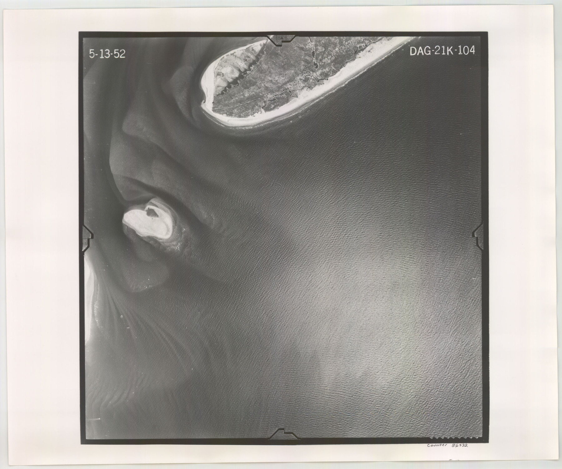
Flight Mission No. DAG-21K, Frame 104, Matagorda County
DAG-21K-104
-
Map/Doc
86432
-
Collection
General Map Collection
-
Object Dates
1952/5/13 (Creation Date)
-
People and Organizations
U. S. Department of Agriculture (Publisher)
-
Counties
Matagorda
-
Subjects
Aerial Photograph
-
Height x Width
18.7 x 22.3 inches
47.5 x 56.6 cm
-
Comments
Flown by Aero Exploration Company of Tulsa, Oklahoma.
Part of: General Map Collection
Freestone County Sketch File 13

Print $4.00
- Digital $50.00
Freestone County Sketch File 13
1860
Size 8.3 x 8.1 inches
Map/Doc 23063
Coleman County

Print $40.00
- Digital $50.00
Coleman County
1945
Size 54.9 x 37.1 inches
Map/Doc 1803
Duval County Rolled Sketch 38

Print $20.00
- Digital $50.00
Duval County Rolled Sketch 38
1937
Size 22.6 x 16.1 inches
Map/Doc 5755
Zapata County Working Sketch 14

Print $20.00
- Digital $50.00
Zapata County Working Sketch 14
1962
Size 44.5 x 40.4 inches
Map/Doc 62065


Pecos County Rolled Sketch 128

Print $40.00
- Digital $50.00
Pecos County Rolled Sketch 128
1949
Size 43.6 x 54.0 inches
Map/Doc 9725
Flight Mission No. DQN-5K, Frame 147, Calhoun County

Print $20.00
- Digital $50.00
Flight Mission No. DQN-5K, Frame 147, Calhoun County
1953
Size 18.5 x 22.1 inches
Map/Doc 84422

Henderson County Rolled Sketch 11

Print $20.00
- Digital $50.00
Henderson County Rolled Sketch 11
1915
Size 28.9 x 42.5 inches
Map/Doc 75959
Robertson County Sketch File 7

Print $20.00
Robertson County Sketch File 7
1873
Size 16.3 x 24.0 inches
Map/Doc 12250
Jasper County Boundary File 3

Print $54.00
- Digital $50.00
Jasper County Boundary File 3
Size 9.3 x 31.0 inches
Map/Doc 55480
You may also like
Erath County Working Sketch 1

Print $20.00
- Digital $50.00
Erath County Working Sketch 1
Size 16.7 x 20.7 inches
Map/Doc 69082
Presidio County Sketch File 112

Print $166.00
- Digital $50.00
Presidio County Sketch File 112
1983
Size 12.1 x 31.2 inches
Map/Doc 11727
Liberty County Working Sketch 35

Print $20.00
- Digital $50.00
Liberty County Working Sketch 35
1948
Size 22.3 x 42.3 inches
Map/Doc 70494
Flight Mission No. CUG-3P, Frame 95, Kleberg County

Print $20.00
- Digital $50.00
Flight Mission No. CUG-3P, Frame 95, Kleberg County
1956
Size 18.4 x 22.3 inches
Map/Doc 86265
Hale County Rolled Sketch 6

Print $20.00
- Digital $50.00
Hale County Rolled Sketch 6
1903
Size 35.0 x 28.9 inches
Map/Doc 6045
Travis County Boundary File 6a

Print $14.00
- Digital $50.00
Travis County Boundary File 6a
Size 11.5 x 9.0 inches
Map/Doc 59447
Map of the Mexican Central Railway and Connections

Print $20.00
- Digital $50.00
Map of the Mexican Central Railway and Connections
1892
Size 22.0 x 26.0 inches
Map/Doc 95742
The Republic County of Washington. February 1, 1844

Print $20.00
The Republic County of Washington. February 1, 1844
2020
Size 11.8 x 21.7 inches
Map/Doc 96309
Lamb County Boundary File 3

Print $10.00
- Digital $50.00
Lamb County Boundary File 3
Size 11.4 x 8.9 inches
Map/Doc 56079
[Map of the San Antonio del Encinal as Corrected]
![4459, [Map of the San Antonio del Encinal as Corrected], Maddox Collection](https://historictexasmaps.com/wmedia_w700/maps/4459.tif.jpg)
Print $20.00
- Digital $50.00
[Map of the San Antonio del Encinal as Corrected]
Size 28.5 x 30.7 inches
Map/Doc 4459
Pecos County Working Sketch 46

Print $20.00
- Digital $50.00
Pecos County Working Sketch 46
1947
Size 27.8 x 18.0 inches
Map/Doc 71518
Bell County Working Sketch 18

Print $20.00
- Digital $50.00
Bell County Working Sketch 18
1984
Size 36.2 x 29.8 inches
Map/Doc 67358