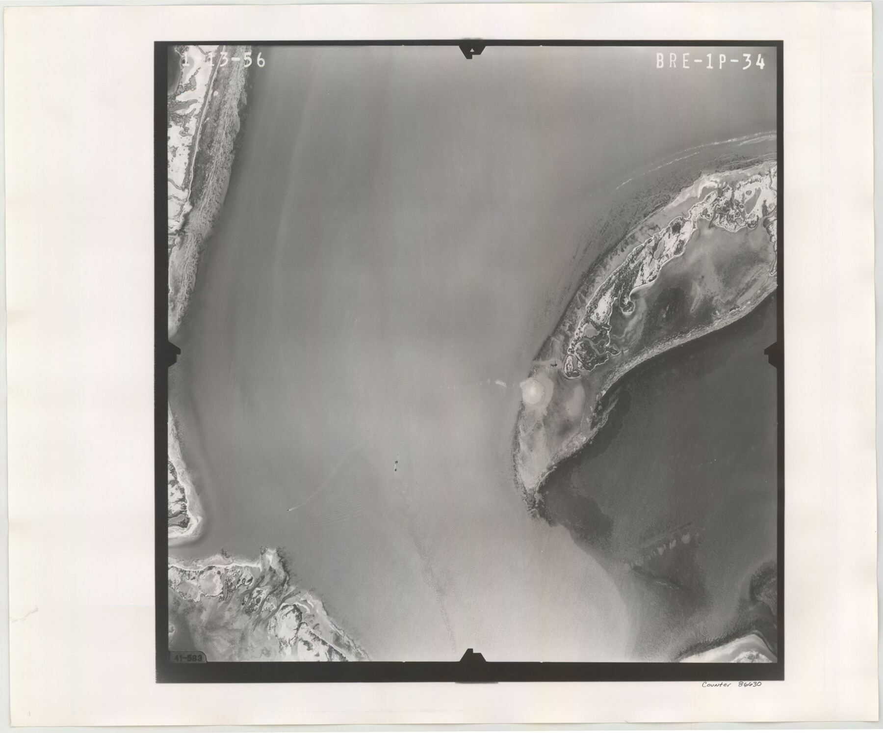
Flight Mission No. BRE-1P, Frame 34, Nueces County
BRE-1P-34
-
Map/Doc
86630
-
Collection
General Map Collection
-
Object Dates
1956/1/13 (Creation Date)
-
People and Organizations
U. S. Department of Agriculture (Publisher)
-
Counties
Nueces
-
Subjects
Aerial Photograph
-
Height x Width
18.4 x 22.2 inches
46.7 x 56.4 cm
-
Comments
Flown by V. L. Beavers and Associates of San Antonio, Texas.
Part of: General Map Collection
Sabine County Sketch File 1

Print $2.00
Sabine County Sketch File 1
Size 14.2 x 7.7 inches
Map/Doc 35601
Ochiltree County

Print $20.00
- Digital $50.00
Ochiltree County
1958
Size 44.4 x 35.5 inches
Map/Doc 95603
Nueces County Sketch File 86

Print $2.00
- Digital $50.00
Nueces County Sketch File 86
Map/Doc 81935
Topographical Map of the Rio Grande, Sheet No. 18

Print $20.00
- Digital $50.00
Topographical Map of the Rio Grande, Sheet No. 18
1912
Map/Doc 89542
Flight Mission No. CRK-3P, Frame 68, Refugio County

Print $20.00
- Digital $50.00
Flight Mission No. CRK-3P, Frame 68, Refugio County
1956
Size 18.7 x 22.5 inches
Map/Doc 86910
Wichita County Sketch File 6

Print $40.00
- Digital $50.00
Wichita County Sketch File 6
Size 12.3 x 12.2 inches
Map/Doc 40045
Flight Mission No. DIX-7P, Frame 19, Aransas County

Print $20.00
- Digital $50.00
Flight Mission No. DIX-7P, Frame 19, Aransas County
1956
Size 19.0 x 22.6 inches
Map/Doc 83871
Montgomery County Working Sketch 27

Print $20.00
- Digital $50.00
Montgomery County Working Sketch 27
1942
Size 42.1 x 33.4 inches
Map/Doc 71134
Flight Mission No. DQO-8K, Frame 59, Galveston County

Print $20.00
- Digital $50.00
Flight Mission No. DQO-8K, Frame 59, Galveston County
1952
Size 18.6 x 22.4 inches
Map/Doc 85166
Haskell County Rolled Sketch 16

Print $20.00
- Digital $50.00
Haskell County Rolled Sketch 16
1991
Size 45.3 x 39.4 inches
Map/Doc 9148
Brewster County Rolled Sketch 101

Print $20.00
- Digital $50.00
Brewster County Rolled Sketch 101
1944
Size 34.6 x 42.4 inches
Map/Doc 8924
Medina County Working Sketch 33

Print $20.00
- Digital $50.00
Medina County Working Sketch 33
2006
Size 34.5 x 40.0 inches
Map/Doc 83607
You may also like

Val Verde County Rolled Sketch 63

Print $20.00
- Digital $50.00
Val Verde County Rolled Sketch 63
1956
Size 37.5 x 41.8 inches
Map/Doc 10082
Hansford County, Texas

Print $20.00
- Digital $50.00
Hansford County, Texas
1880
Size 21.4 x 18.0 inches
Map/Doc 519
Coke County Boundary File 5

Print $36.00
- Digital $50.00
Coke County Boundary File 5
Size 7.7 x 37.9 inches
Map/Doc 51606
Map of the Scripture Addition to the City of Denton

Print $20.00
- Digital $50.00
Map of the Scripture Addition to the City of Denton
Size 31.5 x 27.8 inches
Map/Doc 90589
Approaches to Galveston Bay

Print $40.00
- Digital $50.00
Approaches to Galveston Bay
1989
Size 37.1 x 55.6 inches
Map/Doc 69887
Zavala County

Print $40.00
- Digital $50.00
Zavala County
1915
Size 39.6 x 48.3 inches
Map/Doc 63147
The Mexican Municipality of Brazoria. Created, April 28, 1832

Print $20.00
The Mexican Municipality of Brazoria. Created, April 28, 1832
2020
Size 16.5 x 21.7 inches
Map/Doc 96015

Winkler County Rolled Sketch 9

Print $40.00
- Digital $50.00
Winkler County Rolled Sketch 9
1937
Size 50.7 x 21.1 inches
Map/Doc 10150
[Blocks in East Floyd County and West Motley County showing Blocks D2, D3, GM, GP and T]
![92113, [Blocks in East Floyd County and West Motley County showing Blocks D2, D3, GM, GP and T], Twichell Survey Records](https://historictexasmaps.com/wmedia_w700/maps/92113-1.tif.jpg)
Print $20.00
- Digital $50.00
[Blocks in East Floyd County and West Motley County showing Blocks D2, D3, GM, GP and T]
Size 22.2 x 10.9 inches
Map/Doc 92113
Val Verde County Rolled Sketch 54

Print $40.00
- Digital $50.00
Val Verde County Rolled Sketch 54
1938
Size 63.5 x 44.0 inches
Map/Doc 8123