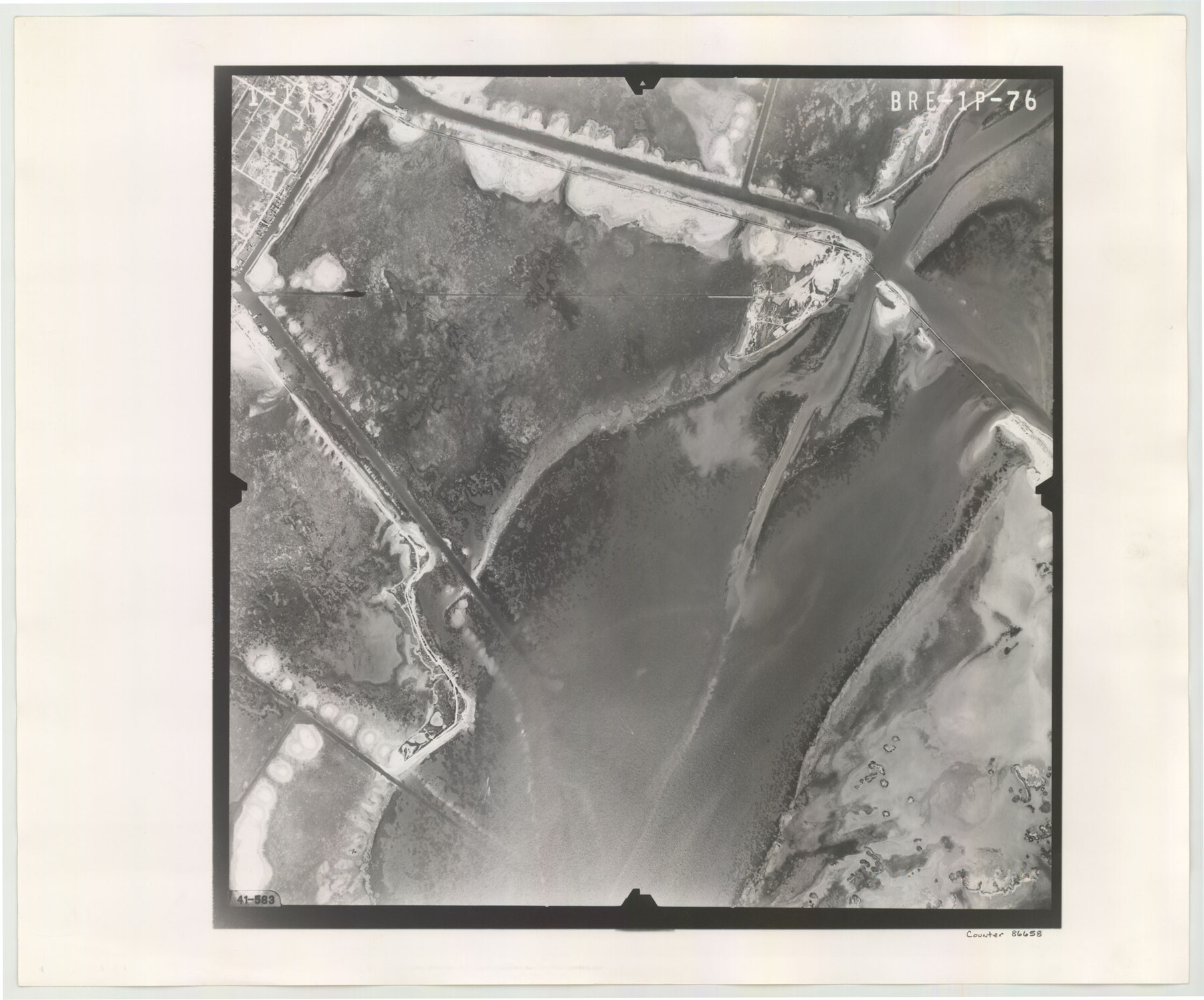
Flight Mission No. BRE-1P, Frame 76, Nueces County
BRE-1P-76
-
Map/Doc
86658
-
Collection
General Map Collection
-
Object Dates
1956/1/13 (Creation Date)
-
People and Organizations
U. S. Department of Agriculture (Publisher)
-
Counties
Nueces
-
Subjects
Aerial Photograph
-
Height x Width
18.6 x 22.4 inches
47.2 x 56.9 cm
-
Comments
Flown by V. L. Beavers and Associates of San Antonio, Texas.
Part of: General Map Collection
Newton County Rolled Sketch 17

Print $20.00
- Digital $50.00
Newton County Rolled Sketch 17
1955
Size 34.5 x 47.1 inches
Map/Doc 6847
Real County Working Sketch 57

Print $20.00
- Digital $50.00
Real County Working Sketch 57
1962
Size 19.6 x 25.8 inches
Map/Doc 71949
Cameron County Rolled Sketch 8

Print $40.00
- Digital $50.00
Cameron County Rolled Sketch 8
1937
Size 42.5 x 54.1 inches
Map/Doc 8565
McMullen County Sketch File 24

Print $22.00
- Digital $50.00
McMullen County Sketch File 24
Size 8.7 x 12.6 inches
Map/Doc 31381
Austin County Sketch File 7

Print $40.00
- Digital $50.00
Austin County Sketch File 7
1894
Size 18.8 x 15.7 inches
Map/Doc 10872
Wise County Working Sketch 19

Print $20.00
- Digital $50.00
Wise County Working Sketch 19
1978
Size 28.6 x 32.5 inches
Map/Doc 72633
Liberty County Working Sketch 42

Print $20.00
- Digital $50.00
Liberty County Working Sketch 42
1953
Size 24.0 x 35.8 inches
Map/Doc 70501
Roberts County Boundary File 3

Print $44.00
- Digital $50.00
Roberts County Boundary File 3
Size 14.2 x 9.3 inches
Map/Doc 58368
Angelina County Sketch File 15a

Print $8.00
- Digital $50.00
Angelina County Sketch File 15a
1857
Size 12.3 x 8.2 inches
Map/Doc 12964
Ector County Working Sketch 14

Print $40.00
- Digital $50.00
Ector County Working Sketch 14
1955
Size 72.7 x 43.4 inches
Map/Doc 68857
Montague County Working Sketch 34

Print $20.00
- Digital $50.00
Montague County Working Sketch 34
1979
Size 20.3 x 15.0 inches
Map/Doc 71100
Wilson County Rolled Sketch 3

Print $20.00
- Digital $50.00
Wilson County Rolled Sketch 3
1956
Size 25.8 x 22.8 inches
Map/Doc 8369
You may also like
Reeves County Rolled Sketch 34

Print $20.00
- Digital $50.00
Reeves County Rolled Sketch 34
Size 35.4 x 24.1 inches
Map/Doc 78490
Jasper County Working Sketch 21

Print $20.00
- Digital $50.00
Jasper County Working Sketch 21
1941
Size 13.1 x 21.4 inches
Map/Doc 66483

[Surveys along the Brazos River]
![39, [Surveys along the Brazos River], General Map Collection](https://historictexasmaps.com/wmedia_w700/maps/39.tif.jpg)
Print $3.00
- Digital $50.00
[Surveys along the Brazos River]
1840
Size 9.5 x 10.9 inches
Map/Doc 39
County of Galveston, Texas

Print $20.00
- Digital $50.00
County of Galveston, Texas
1845
Size 22.9 x 32.2 inches
Map/Doc 3574
Coryell County Working Sketch 15

Print $20.00
- Digital $50.00
Coryell County Working Sketch 15
1957
Size 24.3 x 20.8 inches
Map/Doc 68222
Plat in Pecos County, Texas

Print $40.00
- Digital $50.00
Plat in Pecos County, Texas
1927
Size 57.9 x 37.0 inches
Map/Doc 89836
Crane County Working Sketch 9

Print $20.00
- Digital $50.00
Crane County Working Sketch 9
1937
Size 47.6 x 42.8 inches
Map/Doc 68286
[Blocks C, M and B, north of Morris County School Land]
![90488, [Blocks C, M and B, north of Morris County School Land], Twichell Survey Records](https://historictexasmaps.com/wmedia_w700/maps/90488-1.tif.jpg)
Print $20.00
- Digital $50.00
[Blocks C, M and B, north of Morris County School Land]
Size 20.0 x 15.0 inches
Map/Doc 90488
Refugio County Sketch File 1

Print $8.00
- Digital $50.00
Refugio County Sketch File 1
1846
Size 12.6 x 7.8 inches
Map/Doc 35235
Jones County Sketch File 13

Print $20.00
- Digital $50.00
Jones County Sketch File 13
Size 43.5 x 35.7 inches
Map/Doc 10511
Travis County Working Sketch 65

Print $20.00
- Digital $50.00
Travis County Working Sketch 65
2003
Size 28.1 x 38.3 inches
Map/Doc 78494