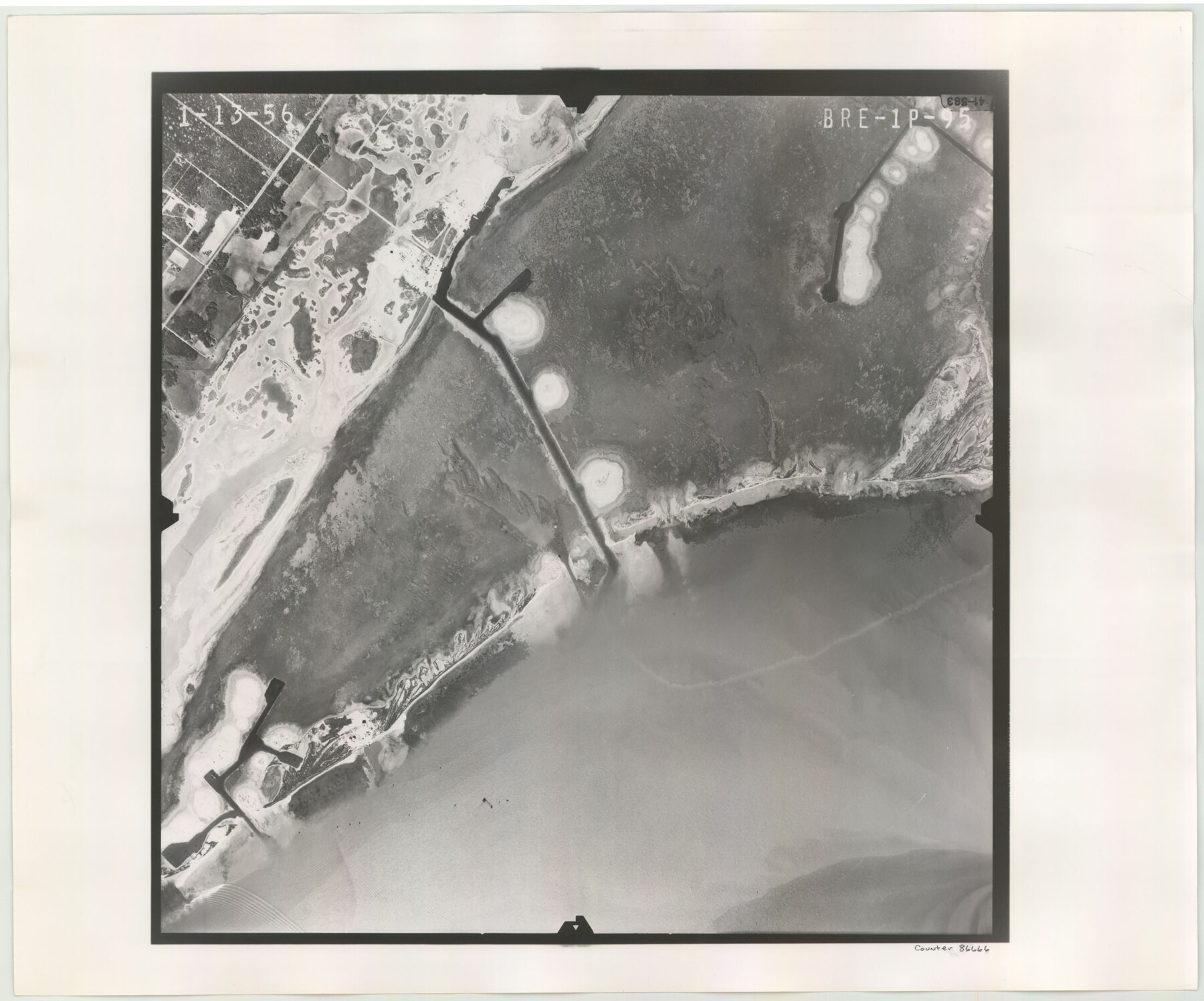
Flight Mission No. BRE-1P, Frame 95, Nueces County
BRE-1P-95
-
Map/Doc
86666
-
Collection
General Map Collection
-
Object Dates
1956/1/13 (Creation Date)
-
People and Organizations
U. S. Department of Agriculture (Publisher)
-
Counties
Nueces
-
Subjects
Aerial Photograph
-
Height x Width
18.4 x 22.2 inches
46.7 x 56.4 cm
-
Comments
Flown by V. L. Beavers and Associates of San Antonio, Texas.
Part of: General Map Collection
Map of Texas Coast from San Luis to Jupiter

Print $40.00
- Digital $50.00
Map of Texas Coast from San Luis to Jupiter
1852
Size 31.3 x 74.7 inches
Map/Doc 69975
Sabine Pass and Lake

Print $20.00
- Digital $50.00
Sabine Pass and Lake
1958
Size 47.1 x 27.5 inches
Map/Doc 69823
Wichita County Sketch File 23a

Print $10.00
- Digital $50.00
Wichita County Sketch File 23a
1911
Size 14.2 x 8.8 inches
Map/Doc 40109
Flight Mission No. DQN-6K, Frame 15, Calhoun County

Print $20.00
- Digital $50.00
Flight Mission No. DQN-6K, Frame 15, Calhoun County
1953
Size 18.4 x 22.2 inches
Map/Doc 84437
Mexico and Guatemala

Print $20.00
- Digital $50.00
Mexico and Guatemala
1850
Size 14.6 x 17.9 inches
Map/Doc 93652
Flight Mission No. BRE-1P, Frame 141, Nueces County

Print $20.00
- Digital $50.00
Flight Mission No. BRE-1P, Frame 141, Nueces County
1956
Size 18.7 x 22.5 inches
Map/Doc 86701
Bee County Working Sketch 3

Print $20.00
- Digital $50.00
Bee County Working Sketch 3
1915
Size 22.8 x 20.3 inches
Map/Doc 67253
Reeves County Rolled Sketch 6

Print $20.00
- Digital $50.00
Reeves County Rolled Sketch 6
Size 22.6 x 29.0 inches
Map/Doc 7478
Tyler County Sketch File 20

Print $6.00
- Digital $50.00
Tyler County Sketch File 20
1851
Size 6.9 x 5.8 inches
Map/Doc 38674
Dimmit County Boundary File 10a

Print $4.00
- Digital $50.00
Dimmit County Boundary File 10a
Size 14.0 x 8.5 inches
Map/Doc 52611
Sterling County Sketch File 3

Print $20.00
- Digital $50.00
Sterling County Sketch File 3
Size 14.5 x 34.8 inches
Map/Doc 12355
Louisiana and Texas Intracoastal Waterway - Dredging Tributary Channel, Port Aransas to Aransas Pass, Texas

Print $20.00
- Digital $50.00
Louisiana and Texas Intracoastal Waterway - Dredging Tributary Channel, Port Aransas to Aransas Pass, Texas
1940
Size 31.1 x 42.3 inches
Map/Doc 61820
You may also like
Hunt County Boundary File 10b

Print $4.00
- Digital $50.00
Hunt County Boundary File 10b
Size 11.3 x 8.9 inches
Map/Doc 55264
Presidio County Sketch File 21

Print $4.00
- Digital $50.00
Presidio County Sketch File 21
1889
Size 14.2 x 8.7 inches
Map/Doc 34454
Pecos County Rolled Sketch 90

Print $20.00
- Digital $50.00
Pecos County Rolled Sketch 90
1934
Size 26.7 x 33.9 inches
Map/Doc 7245

Grayson County Boundary File 2a

Print $60.00
- Digital $50.00
Grayson County Boundary File 2a
Size 43.7 x 9.8 inches
Map/Doc 53938
Points of Interest & Road Map of Scenicland, U.S.A. and United States [Recto]
![94192, Points of Interest & Road Map of Scenicland, U.S.A. and United States [Recto], General Map Collection](https://historictexasmaps.com/wmedia_w700/maps/94192.tif.jpg)
Points of Interest & Road Map of Scenicland, U.S.A. and United States [Recto]
1966
Size 34.7 x 22.4 inches
Map/Doc 94192
Texas State Boundary Line 9

Print $174.00
Texas State Boundary Line 9
2000
Size 11.3 x 8.8 inches
Map/Doc 75076
Terrell County Working Sketch 16

Print $40.00
- Digital $50.00
Terrell County Working Sketch 16
1927
Size 37.7 x 51.4 inches
Map/Doc 62165
Newton County Sketch File 25

Print $4.00
- Digital $50.00
Newton County Sketch File 25
Size 7.8 x 8.3 inches
Map/Doc 32407
Map of the H.J. Dorrah survey 16 enlarged from the General Land Office map of the west part of Travis County, Texas

Print $2.00
- Digital $50.00
Map of the H.J. Dorrah survey 16 enlarged from the General Land Office map of the west part of Travis County, Texas
1920
Size 11.1 x 8.6 inches
Map/Doc 612
Burleson County Working Sketch 39

Print $20.00
- Digital $50.00
Burleson County Working Sketch 39
1985
Size 15.3 x 18.7 inches
Map/Doc 67758
Coleman County

Print $40.00
- Digital $50.00
Coleman County
1897
Size 49.4 x 34.9 inches
Map/Doc 66758