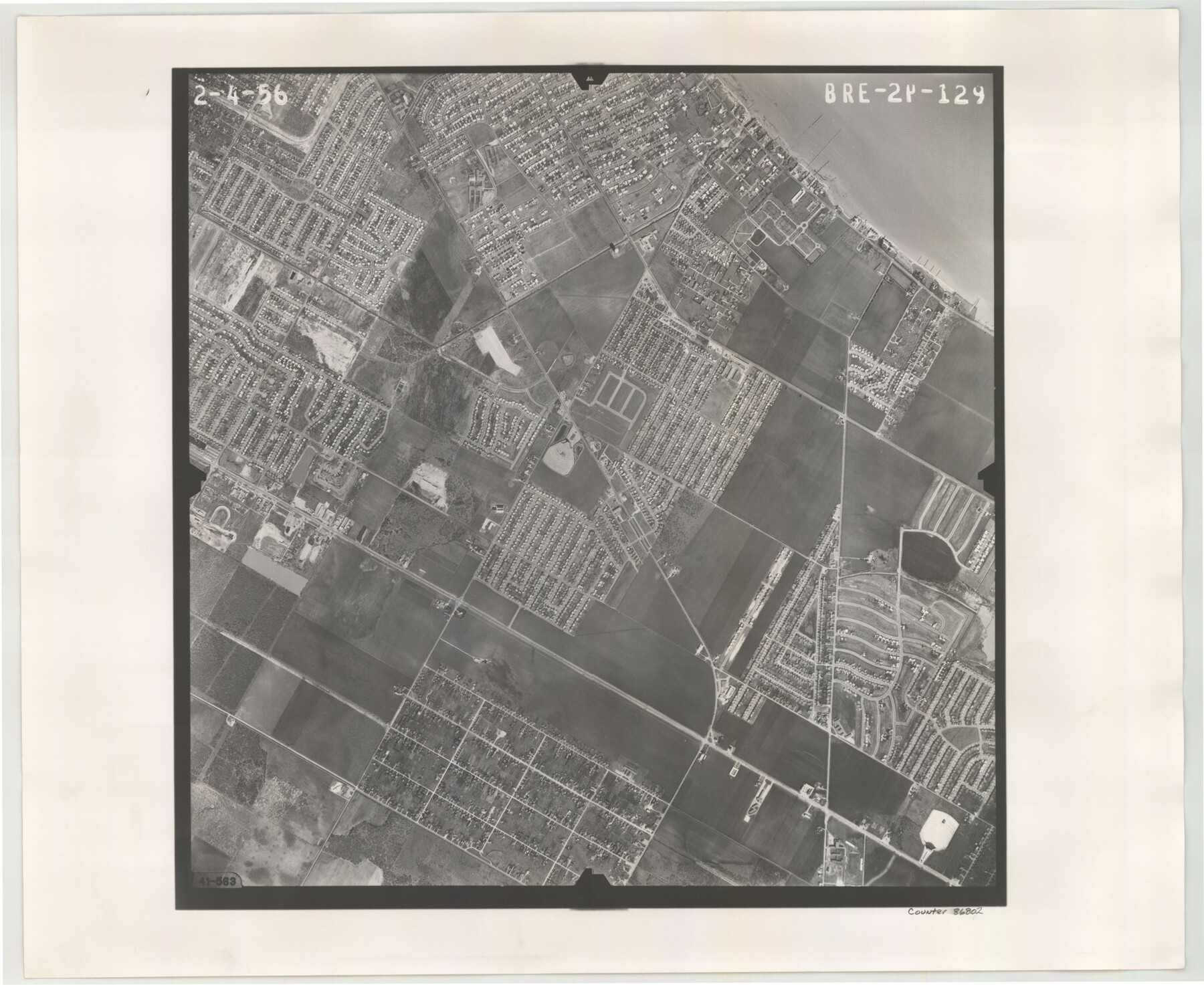
Flight Mission No. BRE-2P, Frame 129, Nueces County
BRE-2P-129
-
Map/Doc
86802
-
Collection
General Map Collection
-
Object Dates
1956/2/4 (Creation Date)
-
People and Organizations
U. S. Department of Agriculture (Publisher)
-
Counties
Nueces
-
Subjects
Aerial Photograph
-
Height x Width
18.6 x 22.7 inches
47.2 x 57.7 cm
-
Comments
Flown by V. L. Beavers and Associates of San Antonio, Texas.
Part of: General Map Collection
Map of Africa engraved to illustrate Mitchell's new intermediate geography (Inset 1: Map of Egypt / Inset 2: Liberia and Sierra Leone)

Print $20.00
- Digital $50.00
Map of Africa engraved to illustrate Mitchell's new intermediate geography (Inset 1: Map of Egypt / Inset 2: Liberia and Sierra Leone)
1885
Size 9.0 x 12.2 inches
Map/Doc 93530
Liberty County Sketch File 63

Print $138.00
- Digital $50.00
Liberty County Sketch File 63
1983
Size 11.1 x 8.8 inches
Map/Doc 30087
Crosby County Sketch File 21

Print $6.00
- Digital $50.00
Crosby County Sketch File 21
Size 13.8 x 8.8 inches
Map/Doc 20087
Goliad County Sketch File 23

Print $4.00
- Digital $50.00
Goliad County Sketch File 23
1877
Size 8.1 x 12.8 inches
Map/Doc 24295
Bosque County Sketch File 3

Print $40.00
- Digital $50.00
Bosque County Sketch File 3
1848
Size 16.1 x 12.4 inches
Map/Doc 14742
Leon County Working Sketch 30

Print $20.00
- Digital $50.00
Leon County Working Sketch 30
1972
Size 33.1 x 45.1 inches
Map/Doc 70429
[Cotton Belt, St. Louis Southwestern Railway of Texas, Alignment through Smith County]
![64384, [Cotton Belt, St. Louis Southwestern Railway of Texas, Alignment through Smith County], General Map Collection](https://historictexasmaps.com/wmedia_w700/maps/64384.tif.jpg)
Print $20.00
- Digital $50.00
[Cotton Belt, St. Louis Southwestern Railway of Texas, Alignment through Smith County]
1903
Size 21.4 x 29.9 inches
Map/Doc 64384
Flight Mission No. CRE-1R, Frame 135, Jackson County

Print $20.00
- Digital $50.00
Flight Mission No. CRE-1R, Frame 135, Jackson County
1956
Size 16.2 x 15.8 inches
Map/Doc 85343
Zapata County Rolled Sketch 12A

Print $40.00
- Digital $50.00
Zapata County Rolled Sketch 12A
1917
Size 54.0 x 40.0 inches
Map/Doc 10165
Cooke County Rolled Sketch 7

Print $20.00
- Digital $50.00
Cooke County Rolled Sketch 7
2002
Size 44.8 x 34.9 inches
Map/Doc 77525
Llano County Sketch File 8

Print $10.00
- Digital $50.00
Llano County Sketch File 8
1885
Size 14.1 x 8.8 inches
Map/Doc 30364
Ward County Rolled Sketch 24C

Print $40.00
- Digital $50.00
Ward County Rolled Sketch 24C
1967
Size 54.8 x 24.4 inches
Map/Doc 10114
You may also like
Travis County Rolled Sketch 57

Print $20.00
- Digital $50.00
Travis County Rolled Sketch 57
1885
Size 16.5 x 23.3 inches
Map/Doc 8048
Flight Mission No. CRC-2R, Frame 197, Chambers County

Print $20.00
- Digital $50.00
Flight Mission No. CRC-2R, Frame 197, Chambers County
1956
Size 18.7 x 22.5 inches
Map/Doc 84775
Nautical Chart 11332 - Intracoastal Waterway - Galveston Bay to Cedar Lakes

Print $40.00
- Digital $50.00
Nautical Chart 11332 - Intracoastal Waterway - Galveston Bay to Cedar Lakes
1984
Size 21.6 x 60.2 inches
Map/Doc 69941
Flight Mission No. DIX-10P, Frame 70, Aransas County

Print $20.00
- Digital $50.00
Flight Mission No. DIX-10P, Frame 70, Aransas County
1956
Size 18.7 x 22.4 inches
Map/Doc 83931
Morris County Rolled Sketch 2

Print $40.00
- Digital $50.00
Morris County Rolled Sketch 2
1944
Size 59.4 x 43.5 inches
Map/Doc 9550
Robertson County Sketch File 6

Print $4.00
Robertson County Sketch File 6
1870
Size 8.9 x 7.6 inches
Map/Doc 35362
Brewster County Rolled Sketch 96

Print $20.00
- Digital $50.00
Brewster County Rolled Sketch 96
1951
Size 21.7 x 33.7 inches
Map/Doc 5253
Travis County State Real Property Sketch 14

Print $40.00
- Digital $50.00
Travis County State Real Property Sketch 14
1995
Size 18.1 x 23.9 inches
Map/Doc 61672
Crockett County Rolled Sketch 67

Print $20.00
- Digital $50.00
Crockett County Rolled Sketch 67
1948
Size 34.2 x 21.7 inches
Map/Doc 5610
Map No. 2 - Surveys Corrected in 1882 as they appear on the ground

Print $20.00
- Digital $50.00
Map No. 2 - Surveys Corrected in 1882 as they appear on the ground
1882
Size 30.7 x 19.2 inches
Map/Doc 91925
Flight Mission No. DCL-7C, Frame 112, Kenedy County

Print $20.00
- Digital $50.00
Flight Mission No. DCL-7C, Frame 112, Kenedy County
1943
Size 18.5 x 22.2 inches
Map/Doc 86077
Montague County Rolled Sketch 7

Print $20.00
- Digital $50.00
Montague County Rolled Sketch 7
1964
Size 17.8 x 22.9 inches
Map/Doc 6791