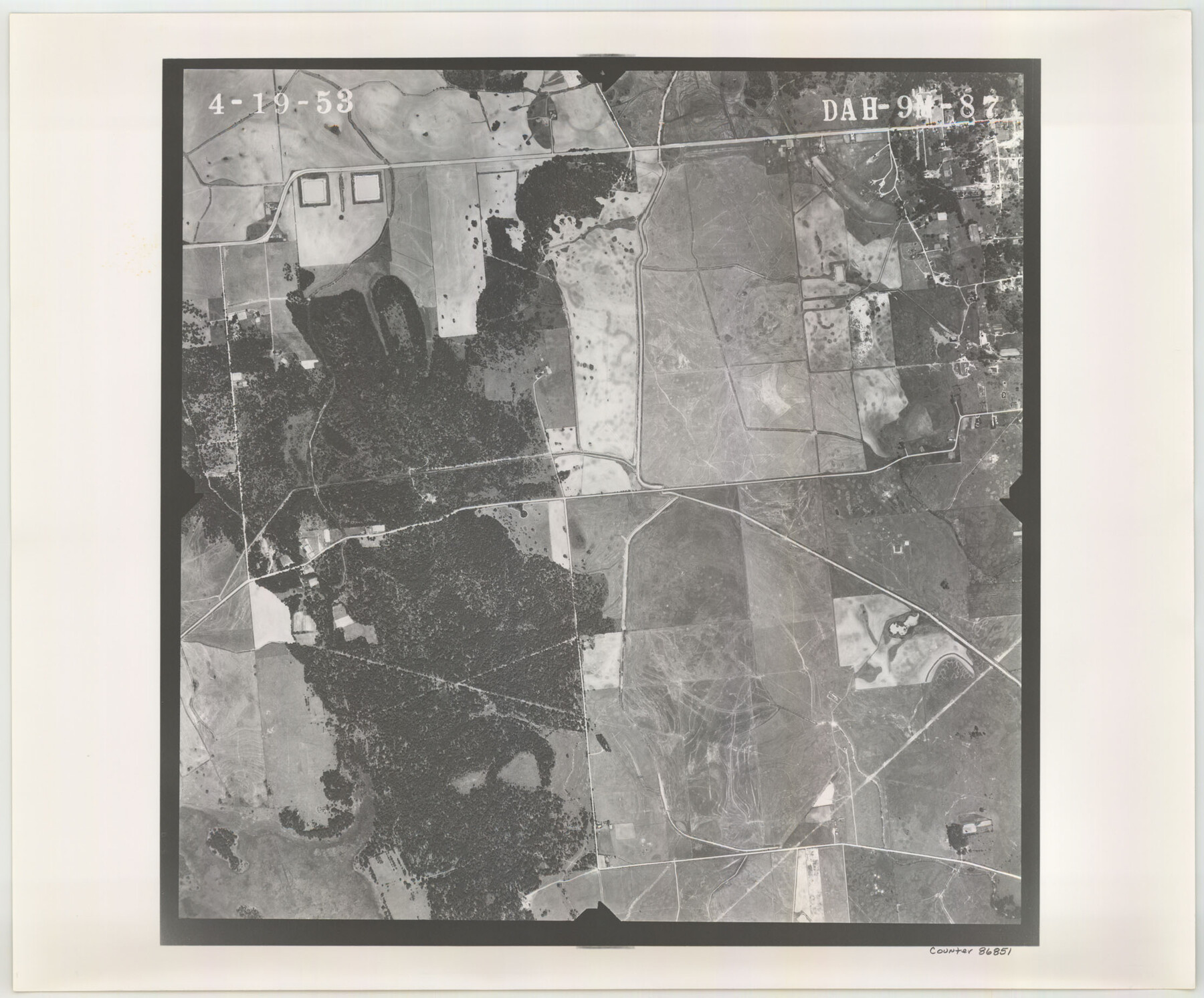
Flight Mission No. DAH-9M, Frame 87, Orange County
DAH-9M-87
-
Map/Doc
86851
-
Collection
General Map Collection
-
Object Dates
1953/4/19 (Creation Date)
-
People and Organizations
U. S. Department of Agriculture (Publisher)
-
Counties
Orange
-
Subjects
Aerial Photograph
-
Height x Width
18.5 x 22.3 inches
47.0 x 56.6 cm
-
Comments
Flown by Jack Ammann Photogrammetric Engineers of San Antonio, Texas.
Part of: General Map Collection
Madison County Working Sketch 11

Print $20.00
- Digital $50.00
Madison County Working Sketch 11
1964
Size 39.6 x 33.4 inches
Map/Doc 70773
Oldham County Sketch File 9

Print $20.00
- Digital $50.00
Oldham County Sketch File 9
1886
Size 18.4 x 26.1 inches
Map/Doc 12112
Rusk County Sketch File 11

Print $4.00
Rusk County Sketch File 11
1849
Size 8.5 x 9.1 inches
Map/Doc 35509
Montgomery County Rolled Sketch 19

Print $40.00
- Digital $50.00
Montgomery County Rolled Sketch 19
1933
Size 50.6 x 30.7 inches
Map/Doc 9529
Kleberg County Rolled Sketch 10-3

Print $20.00
- Digital $50.00
Kleberg County Rolled Sketch 10-3
1951
Size 37.5 x 32.0 inches
Map/Doc 9388
Presidio County Rolled Sketch 115

Print $20.00
- Digital $50.00
Presidio County Rolled Sketch 115
1980
Size 19.3 x 22.2 inches
Map/Doc 7391
Harris County Working Sketch 127

Print $20.00
- Digital $50.00
Harris County Working Sketch 127
1996
Size 20.7 x 26.0 inches
Map/Doc 66019
Trinity River, Oliver Crossing Sheet/Chambers Creek

Print $6.00
- Digital $50.00
Trinity River, Oliver Crossing Sheet/Chambers Creek
1931
Size 30.1 x 28.2 inches
Map/Doc 65231
Crockett County Sketch File 72

Print $14.00
- Digital $50.00
Crockett County Sketch File 72
Size 14.0 x 8.6 inches
Map/Doc 19862
Castro County Rolled Sketch 13

Print $20.00
- Digital $50.00
Castro County Rolled Sketch 13
1967
Size 18.7 x 20.1 inches
Map/Doc 5422
Starr County Working Sketch 5

Print $20.00
- Digital $50.00
Starr County Working Sketch 5
1930
Size 35.8 x 24.8 inches
Map/Doc 63921
Duval County Working Sketch 22

Print $20.00
- Digital $50.00
Duval County Working Sketch 22
1942
Size 21.9 x 26.0 inches
Map/Doc 68746
You may also like
Stonewall County Sketch File 15

Print $40.00
- Digital $50.00
Stonewall County Sketch File 15
1905
Size 14.3 x 8.7 inches
Map/Doc 37255
Presidio County Rolled Sketch 134

Print $20.00
- Digital $50.00
Presidio County Rolled Sketch 134
Size 26.6 x 39.6 inches
Map/Doc 7401
Nueces County NRC Article 33.136 Sketch 9

Print $32.00
- Digital $50.00
Nueces County NRC Article 33.136 Sketch 9
2005
Size 22.2 x 33.5 inches
Map/Doc 83414
[George Tenille Grant, Brazoria County, Texas]
![10751, [George Tenille Grant, Brazoria County, Texas], Maddox Collection](https://historictexasmaps.com/wmedia_w700/maps/10751.tif.jpg)
Print $2.00
- Digital $50.00
[George Tenille Grant, Brazoria County, Texas]
Size 11.2 x 9.2 inches
Map/Doc 10751
Pecos County Rolled Sketch 57

Print $20.00
- Digital $50.00
Pecos County Rolled Sketch 57
1917
Size 24.8 x 35.6 inches
Map/Doc 7230
Burnet County Boundary File 12a

Print $8.00
- Digital $50.00
Burnet County Boundary File 12a
Size 12.9 x 8.7 inches
Map/Doc 50956
[H. P. Fleming, J. E. Fitzgerald, J. R. Scott and surrounding surveys]
![90954, [H. P. Fleming, J. E. Fitzgerald, J. R. Scott and surrounding surveys], Twichell Survey Records](https://historictexasmaps.com/wmedia_w700/maps/90954-1.tif.jpg)
Print $20.00
- Digital $50.00
[H. P. Fleming, J. E. Fitzgerald, J. R. Scott and surrounding surveys]
Size 19.7 x 12.9 inches
Map/Doc 90954
Sutton County Working Sketch Graphic Index, Sheet 2 (Sketches 25 to Most Recent)

Print $40.00
- Digital $50.00
Sutton County Working Sketch Graphic Index, Sheet 2 (Sketches 25 to Most Recent)
1941
Size 41.2 x 55.2 inches
Map/Doc 76706
Red River County Working Sketch 33

Print $20.00
- Digital $50.00
Red River County Working Sketch 33
1963
Size 47.0 x 22.2 inches
Map/Doc 72016
Uvalde County Working Sketch 35

Print $20.00
- Digital $50.00
Uvalde County Working Sketch 35
1964
Size 30.3 x 30.2 inches
Map/Doc 72105
Brazos County Working Sketch 8

Print $20.00
- Digital $50.00
Brazos County Working Sketch 8
1981
Size 18.0 x 13.8 inches
Map/Doc 67483
Flight Mission No. CRE-1R, Frame 64, Jackson County

Print $20.00
- Digital $50.00
Flight Mission No. CRE-1R, Frame 64, Jackson County
1956
Size 15.9 x 15.9 inches
Map/Doc 85327