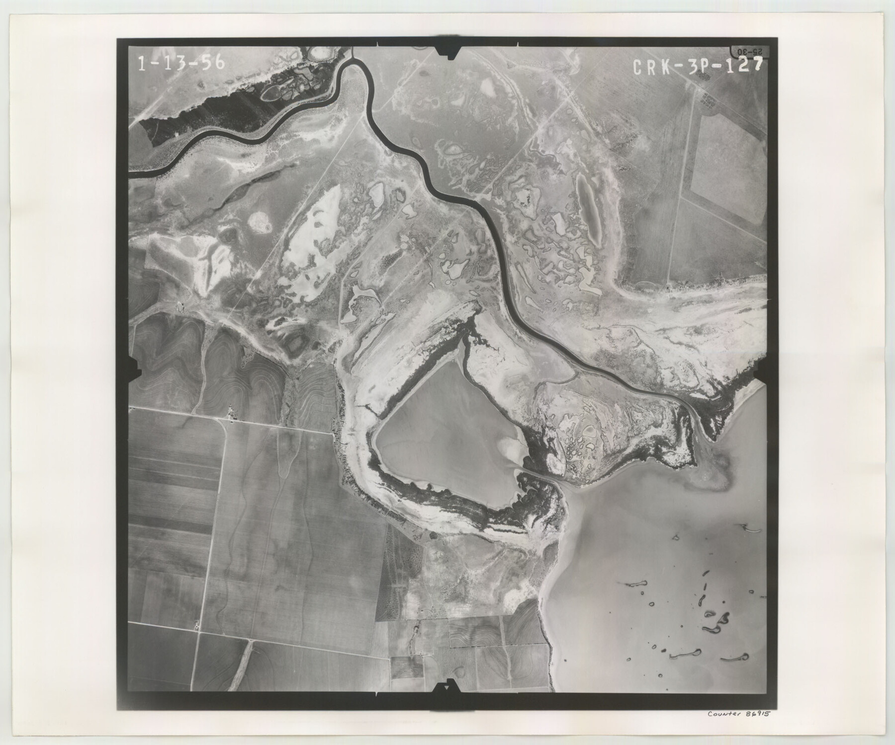
Flight Mission No. CRK-3P, Frame 127, Refugio County
CRK-3P-127
-
Map/Doc
86915
-
Collection
General Map Collection
-
Object Dates
1956/1/13 (Creation Date)
-
People and Organizations
U. S. Department of Agriculture (Publisher)
-
Counties
Refugio
-
Subjects
Aerial Photograph
-
Height x Width
18.6 x 22.3 inches
47.2 x 56.6 cm
-
Comments
Flown by V. L. Beavers and Associates of San Antonio, Texas.
Part of: General Map Collection
Glasscock County Working Sketch 10

Print $40.00
- Digital $50.00
Glasscock County Working Sketch 10
1957
Size 77.9 x 37.2 inches
Map/Doc 63183
Moore County Sketch File 7

Print $20.00
- Digital $50.00
Moore County Sketch File 7
Size 24.6 x 45.8 inches
Map/Doc 10553
Map of Goliad County Texas

Print $20.00
- Digital $50.00
Map of Goliad County Texas
1879
Size 19.1 x 21.2 inches
Map/Doc 3589
Hudspeth County Rolled Sketch 44

Print $20.00
- Digital $50.00
Hudspeth County Rolled Sketch 44
1951
Size 12.1 x 11.5 inches
Map/Doc 9217
Edwards County Boundary File 28

Print $50.00
- Digital $50.00
Edwards County Boundary File 28
Size 12.9 x 5.2 inches
Map/Doc 52932
Hudspeth County Rolled Sketch 53

Print $77.00
- Digital $50.00
Hudspeth County Rolled Sketch 53
1977
Size 9.9 x 15.1 inches
Map/Doc 45849
Atascosa County Rolled Sketch 25

Print $20.00
- Digital $50.00
Atascosa County Rolled Sketch 25
Size 25.2 x 20.5 inches
Map/Doc 93551
[Sketch for Mineral Application 33721 - 33725 Incl. - Padre and Mustang Island]
![2874, [Sketch for Mineral Application 33721 - 33725 Incl. - Padre and Mustang Island], General Map Collection](https://historictexasmaps.com/wmedia_w700/maps/2874.tif.jpg)
Print $20.00
- Digital $50.00
[Sketch for Mineral Application 33721 - 33725 Incl. - Padre and Mustang Island]
1941
Size 40.2 x 22.8 inches
Map/Doc 2874
Coast Chart No. 205 - Galveston Bay to Oyster Bay, Texas

Print $20.00
- Digital $50.00
Coast Chart No. 205 - Galveston Bay to Oyster Bay, Texas
1907
Size 34.3 x 40.5 inches
Map/Doc 69927
Flight Mission No. BRE-1P, Frame 97, Nueces County

Print $20.00
- Digital $50.00
Flight Mission No. BRE-1P, Frame 97, Nueces County
1956
Size 18.3 x 22.0 inches
Map/Doc 86668
San Saba County Sketch File 1

Print $46.00
- Digital $50.00
San Saba County Sketch File 1
1854
Size 9.1 x 7.8 inches
Map/Doc 36400
Flight Mission No. CGI-4N, Frame 24, Cameron County

Print $20.00
- Digital $50.00
Flight Mission No. CGI-4N, Frame 24, Cameron County
1954
Size 18.6 x 22.3 inches
Map/Doc 84657
You may also like
![91538, [Block 3T], Twichell Survey Records](https://historictexasmaps.com/wmedia_w700/maps/91538-1.tif.jpg)

Galveston County Sketch File 54

Print $14.00
- Digital $50.00
Galveston County Sketch File 54
1838
Size 12.8 x 8.2 inches
Map/Doc 23584
Haskell County

Print $20.00
- Digital $50.00
Haskell County
1873
Size 21.0 x 25.2 inches
Map/Doc 3643

Filisola Empresario Colony. October 15, 1831

Print $20.00
Filisola Empresario Colony. October 15, 1831
2020
Size 15.3 x 21.7 inches
Map/Doc 95995
Atascosa County Sketch File 35

Print $20.00
- Digital $50.00
Atascosa County Sketch File 35
1854
Size 14.4 x 30.0 inches
Map/Doc 10866
Edwards County Working Sketch 8

Print $20.00
- Digital $50.00
Edwards County Working Sketch 8
1918
Size 19.2 x 31.2 inches
Map/Doc 68884
[Archer County School Land]
![90324, [Archer County School Land], Twichell Survey Records](https://historictexasmaps.com/wmedia_w700/maps/90324-1.tif.jpg)
Print $20.00
- Digital $50.00
[Archer County School Land]
Size 21.7 x 16.7 inches
Map/Doc 90324
Map of the Pitchfork Ranch

Print $20.00
- Digital $50.00
Map of the Pitchfork Ranch
1915
Size 39.9 x 35.9 inches
Map/Doc 75826
Foard County Sketch File 17

Print $12.00
- Digital $50.00
Foard County Sketch File 17
1882
Size 14.2 x 8.8 inches
Map/Doc 22828
Winkler County Working Sketch 6

Print $20.00
- Digital $50.00
Winkler County Working Sketch 6
1957
Size 34.5 x 31.5 inches
Map/Doc 72600