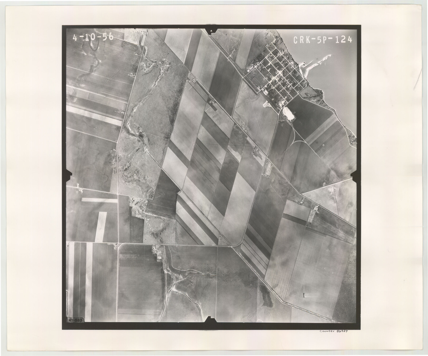
Flight Mission No. CRK-5P, Frame 124, Refugio County
CRK-5P-124
-
Map/Doc
86927
-
Collection
General Map Collection
-
Object Dates
1956/4/10 (Creation Date)
-
People and Organizations
U. S. Department of Agriculture (Publisher)
-
Counties
Refugio
-
Subjects
Aerial Photograph
-
Height x Width
18.7 x 22.5 inches
47.5 x 57.2 cm
-
Comments
Flown by V. L. Beavers and Associates of San Antonio, Texas.
Part of: General Map Collection
Travis County Appraisal District Plat Map 2_2313

Print $20.00
- Digital $50.00
Travis County Appraisal District Plat Map 2_2313
Size 21.4 x 26.3 inches
Map/Doc 94215
Dallas County Sketch File 16

Print $4.00
- Digital $50.00
Dallas County Sketch File 16
Size 8.0 x 8.4 inches
Map/Doc 20435
La Salle County Rolled Sketch 15

Print $20.00
- Digital $50.00
La Salle County Rolled Sketch 15
Size 22.0 x 32.4 inches
Map/Doc 6579
La Salle County Working Sketch 8

Print $20.00
- Digital $50.00
La Salle County Working Sketch 8
1922
Size 19.0 x 18.3 inches
Map/Doc 70309
Wilbarger County Working Sketch 10

Print $20.00
- Digital $50.00
Wilbarger County Working Sketch 10
1951
Size 23.5 x 32.3 inches
Map/Doc 72548
Sutton County Working Sketch 33

Print $20.00
- Digital $50.00
Sutton County Working Sketch 33
1936
Size 23.3 x 32.2 inches
Map/Doc 62376

Cottle County Sketch File 14

Print $50.00
- Digital $50.00
Cottle County Sketch File 14
1918
Size 11.3 x 8.8 inches
Map/Doc 19491
Live Oak County Working Sketch 4

Print $20.00
- Digital $50.00
Live Oak County Working Sketch 4
1914
Size 16.8 x 14.0 inches
Map/Doc 70589
Val Verde County Working Sketch 30

Print $20.00
- Digital $50.00
Val Verde County Working Sketch 30
1938
Size 37.9 x 28.5 inches
Map/Doc 72165
Schleicher County Rolled Sketch 5

Print $20.00
- Digital $50.00
Schleicher County Rolled Sketch 5
Size 19.3 x 23.8 inches
Map/Doc 7748
Starr County Rolled Sketch 25

Print $20.00
- Digital $50.00
Starr County Rolled Sketch 25
1939
Size 28.0 x 38.5 inches
Map/Doc 7809
You may also like
General Highway Map, Polk County, Texas

Print $20.00
General Highway Map, Polk County, Texas
1961
Size 18.2 x 24.4 inches
Map/Doc 79629
Falls County Boundary File 1

Print $64.00
- Digital $50.00
Falls County Boundary File 1
Size 9.2 x 4.4 inches
Map/Doc 53241
[Sketch for Mineral Application 27670 - Strip between Simon Sanchez leagues and Trinity River]
![2865, [Sketch for Mineral Application 27670 - Strip between Simon Sanchez leagues and Trinity River], General Map Collection](https://historictexasmaps.com/wmedia_w700/maps/2865-1.tif.jpg)
Print $40.00
- Digital $50.00
[Sketch for Mineral Application 27670 - Strip between Simon Sanchez leagues and Trinity River]
1934
Size 17.3 x 50.5 inches
Map/Doc 2865
Edwards County Working Sketch 125

Print $20.00
- Digital $50.00
Edwards County Working Sketch 125
1977
Size 22.3 x 23.5 inches
Map/Doc 69001
Map of Jackson County

Print $20.00
- Digital $50.00
Map of Jackson County
1865
Size 22.2 x 19.9 inches
Map/Doc 3709
Garza County Boundary File 1

Print $4.00
- Digital $50.00
Garza County Boundary File 1
Size 11.4 x 9.0 inches
Map/Doc 53671
Burnet County Working Sketch 11

Print $20.00
- Digital $50.00
Burnet County Working Sketch 11
1975
Size 26.5 x 28.9 inches
Map/Doc 67854
Concho County Sketch File 6

Print $8.00
- Digital $50.00
Concho County Sketch File 6
1858
Size 13.3 x 8.3 inches
Map/Doc 19127
Flight Mission No. DQO-7K, Frame 77, Galveston County

Print $20.00
- Digital $50.00
Flight Mission No. DQO-7K, Frame 77, Galveston County
1952
Size 18.9 x 22.6 inches
Map/Doc 85104
Winkler County, Texas

Print $20.00
- Digital $50.00
Winkler County, Texas
1889
Size 24.6 x 19.0 inches
Map/Doc 658
Map of Kinney County

Print $20.00
- Digital $50.00
Map of Kinney County
1875
Size 25.9 x 34.2 inches
Map/Doc 3773
Crosby County Boundary File 4a

Print $30.00
- Digital $50.00
Crosby County Boundary File 4a
Size 8.8 x 32.8 inches
Map/Doc 52028