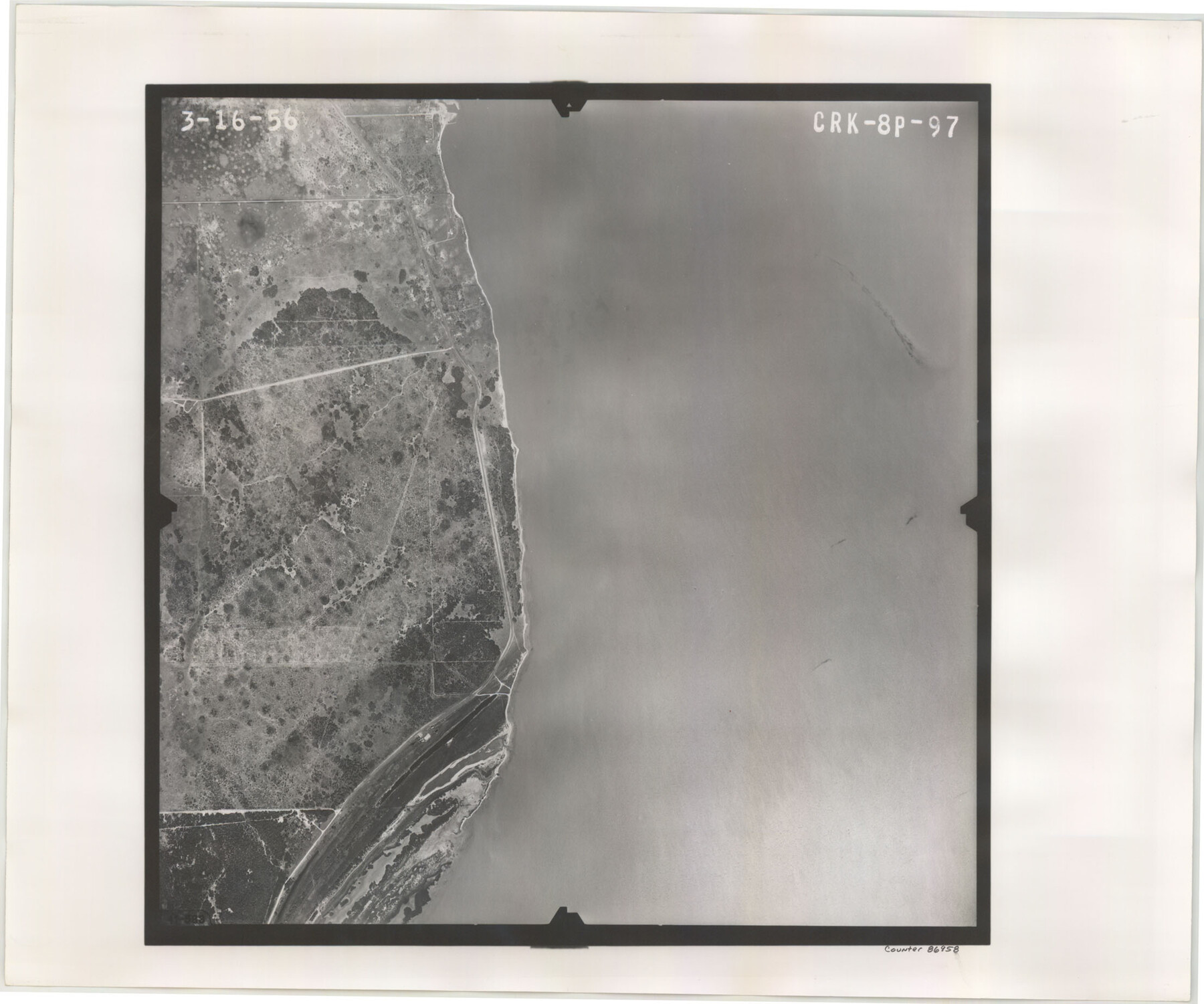
Flight Mission No. CRK-8P, Frame 97, Refugio County
CRK-8P-97
-
Map/Doc
86958
-
Collection
General Map Collection
-
Object Dates
1956/3/16 (Creation Date)
-
People and Organizations
U. S. Department of Agriculture (Publisher)
-
Counties
Refugio
-
Subjects
Aerial Photograph
-
Height x Width
18.5 x 22.1 inches
47.0 x 56.1 cm
-
Comments
Flown by V. L. Beavers and Associates of San Antonio, Texas.
Part of: General Map Collection

Flight Mission No. BRE-2P, Frame 138, Nueces County

Print $20.00
- Digital $50.00
Flight Mission No. BRE-2P, Frame 138, Nueces County
1956
Size 18.5 x 22.2 inches
Map/Doc 86811
Flight Mission No. BRA-6M, Frame 97, Jefferson County

Print $20.00
- Digital $50.00
Flight Mission No. BRA-6M, Frame 97, Jefferson County
1953
Size 18.7 x 22.3 inches
Map/Doc 85440
Rusk County Sketch File 10

Print $4.00
Rusk County Sketch File 10
1849
Size 8.1 x 7.3 inches
Map/Doc 35507
Titus County Sketch File 10

Print $4.00
- Digital $50.00
Titus County Sketch File 10
1871
Size 8.1 x 12.9 inches
Map/Doc 38148
Flight Mission No. DQO-2K, Frame 147, Galveston County

Print $20.00
- Digital $50.00
Flight Mission No. DQO-2K, Frame 147, Galveston County
1952
Size 18.8 x 22.6 inches
Map/Doc 85044
Trinity River, Wildcat Ferry Sheet

Print $20.00
- Digital $50.00
Trinity River, Wildcat Ferry Sheet
1928
Size 41.5 x 40.9 inches
Map/Doc 65182
Tom Green County Rolled Sketch 11

Print $20.00
- Digital $50.00
Tom Green County Rolled Sketch 11
Size 33.0 x 27.9 inches
Map/Doc 7998
Cottle County Boundary File 1

Print $22.00
- Digital $50.00
Cottle County Boundary File 1
Size 8.8 x 3.8 inches
Map/Doc 51944
Bosque County Sketch File 27

Print $40.00
- Digital $50.00
Bosque County Sketch File 27
Size 14.7 x 17.5 inches
Map/Doc 10937
Index for Texas Railroad ROW & track maps available on microfilm at THD & Archives and Records

Print $2.00
- Digital $50.00
Index for Texas Railroad ROW & track maps available on microfilm at THD & Archives and Records
1977
Size 11.2 x 8.8 inches
Map/Doc 60758
Galveston/Galveston Island, Texas

Galveston/Galveston Island, Texas
Size 18.4 x 24.2 inches
Map/Doc 94345
You may also like
Kerr County Rolled Sketch 11

Print $20.00
- Digital $50.00
Kerr County Rolled Sketch 11
1950
Size 28.1 x 36.9 inches
Map/Doc 6495
Jasper County Boundary File 4

Print $4.00
- Digital $50.00
Jasper County Boundary File 4
Size 14.4 x 8.9 inches
Map/Doc 55489
Flight Mission No. DCL-5C, Frame 71, Kenedy County

Print $20.00
- Digital $50.00
Flight Mission No. DCL-5C, Frame 71, Kenedy County
1943
Size 18.5 x 22.2 inches
Map/Doc 85854
Hockley County Rolled Sketch 5

Print $40.00
- Digital $50.00
Hockley County Rolled Sketch 5
Size 80.8 x 29.5 inches
Map/Doc 9175
J. B. McCauley Irrigated Farm NW Quarter Section 20, Block E

Print $20.00
- Digital $50.00
J. B. McCauley Irrigated Farm NW Quarter Section 20, Block E
1944
Size 20.5 x 23.0 inches
Map/Doc 92334

San Patricio County Working Sketch 9

Print $40.00
- Digital $50.00
San Patricio County Working Sketch 9
1937
Size 52.8 x 44.0 inches
Map/Doc 63771
[Plat of Victoria, Texas]
![76270, [Plat of Victoria, Texas], Texas State Library and Archives](https://historictexasmaps.com/wmedia_w700/maps/76270.tif.jpg)
Print $20.00
[Plat of Victoria, Texas]
1850
Size 14.1 x 11.5 inches
Map/Doc 76270
Wood County Rolled Sketch 2

Print $40.00
- Digital $50.00
Wood County Rolled Sketch 2
1941
Size 52.6 x 24.9 inches
Map/Doc 10160
East Part of Brewster Co.

Print $40.00
- Digital $50.00
East Part of Brewster Co.
1952
Size 48.5 x 30.7 inches
Map/Doc 77219
Flight Mission No. DAG-21K, Frame 104, Matagorda County

Print $20.00
- Digital $50.00
Flight Mission No. DAG-21K, Frame 104, Matagorda County
1952
Size 18.7 x 22.3 inches
Map/Doc 86432
Hidalgo County Rolled Sketch 15

Print $40.00
- Digital $50.00
Hidalgo County Rolled Sketch 15
1963
Size 68.9 x 41.9 inches
Map/Doc 9170