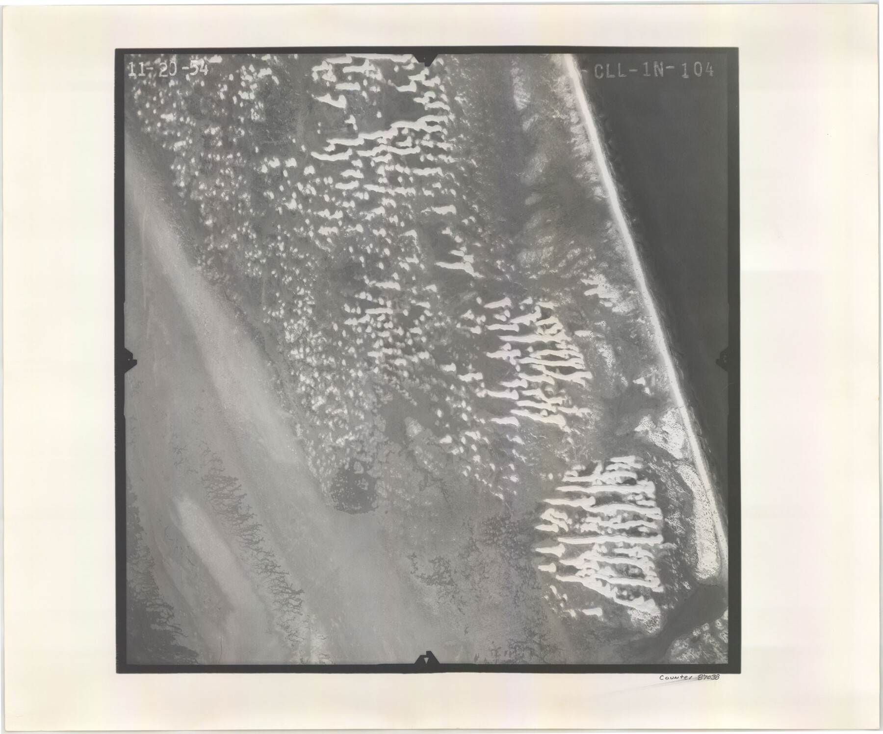
Flight Mission No. CLL-1N, Frame 104, Willacy County
CLL-1N-104
-
Map/Doc
87038
-
Collection
General Map Collection
-
Object Dates
1954/11/20 (Creation Date)
-
People and Organizations
U. S. Department of Agriculture (Publisher)
-
Counties
Willacy
-
Subjects
Aerial Photograph
-
Height x Width
18.3 x 22.0 inches
46.5 x 55.9 cm
-
Comments
Flown by Puckett Aerial Surveys, Inc. of Jackson, Mississippi.
Part of: General Map Collection
Brazoria County Rolled Sketch 47

Print $20.00
- Digital $50.00
Brazoria County Rolled Sketch 47
1951
Size 17.4 x 22.6 inches
Map/Doc 5180
Gonzales County

Print $20.00
- Digital $50.00
Gonzales County
1853
Size 23.4 x 22.4 inches
Map/Doc 3591
Aransas County Sketch File 28

Print $16.00
- Digital $50.00
Aransas County Sketch File 28
1973
Size 11.3 x 8.8 inches
Map/Doc 13226
Official Map of the City of Bryan from Actual Survey [East half]
![3203, Official Map of the City of Bryan from Actual Survey [East half], General Map Collection](https://historictexasmaps.com/wmedia_w700/maps/3203.tif.jpg)
Print $40.00
- Digital $50.00
Official Map of the City of Bryan from Actual Survey [East half]
1898
Size 52.3 x 27.4 inches
Map/Doc 3203
Kaufman County Sketch File 20

Print $20.00
- Digital $50.00
Kaufman County Sketch File 20
1950
Size 23.2 x 34.8 inches
Map/Doc 11908
Orange County Working Sketch 10

Print $20.00
- Digital $50.00
Orange County Working Sketch 10
1922
Size 24.2 x 38.6 inches
Map/Doc 71342
Galveston County Sketch File 44

Print $20.00
- Digital $50.00
Galveston County Sketch File 44
1959
Size 25.2 x 38.8 inches
Map/Doc 10456
Cottle County Sketch File 4

Print $16.00
- Digital $50.00
Cottle County Sketch File 4
Size 8.2 x 4.2 inches
Map/Doc 19466
Leon County Rolled Sketch 31

Print $20.00
- Digital $50.00
Leon County Rolled Sketch 31
1990
Size 44.5 x 32.7 inches
Map/Doc 6614
Flight Mission No. CRC-3R, Frame 44, Chambers County

Print $20.00
- Digital $50.00
Flight Mission No. CRC-3R, Frame 44, Chambers County
1956
Size 18.6 x 22.3 inches
Map/Doc 84817
Jackson County Sketch File 28

Print $38.00
- Digital $50.00
Jackson County Sketch File 28
1945
Size 14.2 x 8.7 inches
Map/Doc 27706
Little River, Buckholts Sheet

Print $4.00
- Digital $50.00
Little River, Buckholts Sheet
1936
Size 30.0 x 24.2 inches
Map/Doc 65065
You may also like
El Paso County Rolled Sketch LH

Print $20.00
- Digital $50.00
El Paso County Rolled Sketch LH
1890
Size 20.3 x 31.7 inches
Map/Doc 5858
Presidio County Sketch File 99

Print $8.00
- Digital $50.00
Presidio County Sketch File 99
1955
Size 11.2 x 8.8 inches
Map/Doc 34787
Harris County Working Sketch 46

Print $20.00
- Digital $50.00
Harris County Working Sketch 46
1942
Size 19.8 x 17.7 inches
Map/Doc 65938
Orange County Sketch File 24

Print $6.00
- Digital $50.00
Orange County Sketch File 24
Size 8.9 x 15.7 inches
Map/Doc 33353
Winkler County Sketch File 15

Print $10.00
- Digital $50.00
Winkler County Sketch File 15
1944
Size 14.3 x 8.6 inches
Map/Doc 40488
Matagorda Light to Aransas Pass

Print $20.00
- Digital $50.00
Matagorda Light to Aransas Pass
1961
Size 35.9 x 44.7 inches
Map/Doc 73396
Cooke County Working Sketch 35

Print $20.00
- Digital $50.00
Cooke County Working Sketch 35
1974
Size 30.7 x 32.6 inches
Map/Doc 68272
Bee County Sketch File 16

Print $4.00
- Digital $50.00
Bee County Sketch File 16
1878
Size 8.6 x 7.7 inches
Map/Doc 14299
Medina County Sketch File 3

Print $4.00
- Digital $50.00
Medina County Sketch File 3
Size 8.1 x 7.3 inches
Map/Doc 31445
Val Verde County Working Sketch 77

Print $20.00
- Digital $50.00
Val Verde County Working Sketch 77
1972
Size 45.9 x 38.5 inches
Map/Doc 72212
[Surveying Sketch of H. & T. C. R.R. Co. surveys, et al, unknown county]
![75988, [Surveying Sketch of H. & T. C. R.R. Co. surveys, et al, unknown county], Maddox Collection](https://historictexasmaps.com/wmedia_w700/maps/75988.tif.jpg)
Print $20.00
- Digital $50.00
[Surveying Sketch of H. & T. C. R.R. Co. surveys, et al, unknown county]
Size 21.0 x 25.7 inches
Map/Doc 75988
Jeff Davis County Rolled Sketch 1

Print $20.00
- Digital $50.00
Jeff Davis County Rolled Sketch 1
1882
Size 23.0 x 43.2 inches
Map/Doc 6359