Cottle County Sketch File 4
[Field notes of a connecting line made for F. P. Knott's surveys in northwest Cottle County]
-
Map/Doc
19466
-
Collection
General Map Collection
-
Object Dates
1883/11/20 (File Date)
-
People and Organizations
W.A. Jones (Surveyor/Engineer)
James E. Majors (Chainman)
W.H. Martin (Chainman)
D.N. Robinson (GLO Clerk)
-
Counties
Cottle
-
Subjects
Surveying Sketch File
-
Height x Width
8.2 x 4.2 inches
20.8 x 10.7 cm
-
Medium
paper, manuscript
-
Features
Tom Bald Creek
Cottonwood Creek
South Pease River
Owl Spring
Middle Pease River
Richland Creek
North Pease River
Pease River
Part of: General Map Collection
Yoakum County Sketch File 5
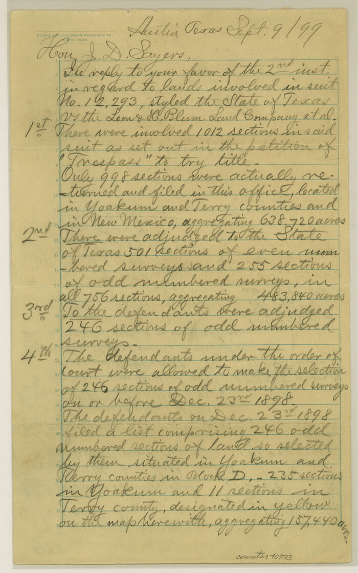

Print $10.00
- Digital $50.00
Yoakum County Sketch File 5
1899
Size 14.3 x 9.0 inches
Map/Doc 40733
Atascosa County Rolled Sketch 18
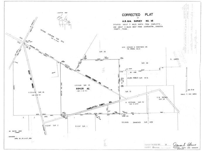

Print $20.00
- Digital $50.00
Atascosa County Rolled Sketch 18
1955
Size 17.6 x 23.9 inches
Map/Doc 5098
Young County Sketch File 7


Print $6.00
- Digital $50.00
Young County Sketch File 7
1856
Size 8.4 x 9.2 inches
Map/Doc 40859
Map of Bowie County


Print $20.00
- Digital $50.00
Map of Bowie County
1862
Size 20.0 x 23.5 inches
Map/Doc 3317
Map of the Town of Giddings
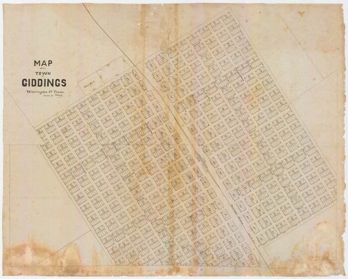

Print $20.00
- Digital $50.00
Map of the Town of Giddings
1871
Size 23.9 x 29.8 inches
Map/Doc 89270
Brewster County Rolled Sketch 149


Print $20.00
- Digital $50.00
Brewster County Rolled Sketch 149
1951
Size 23.4 x 20.6 inches
Map/Doc 5316
Leon County Rolled Sketch 3
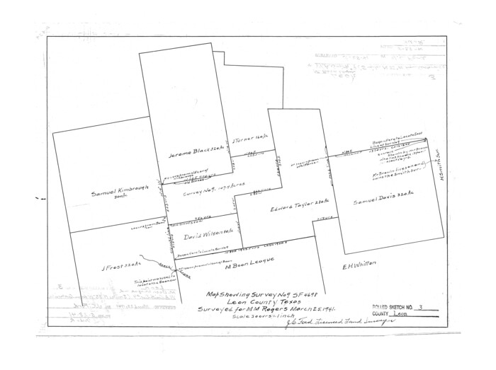

Print $20.00
- Digital $50.00
Leon County Rolled Sketch 3
Size 16.8 x 22.5 inches
Map/Doc 6595
Amistad International Reservoir on Rio Grande 102
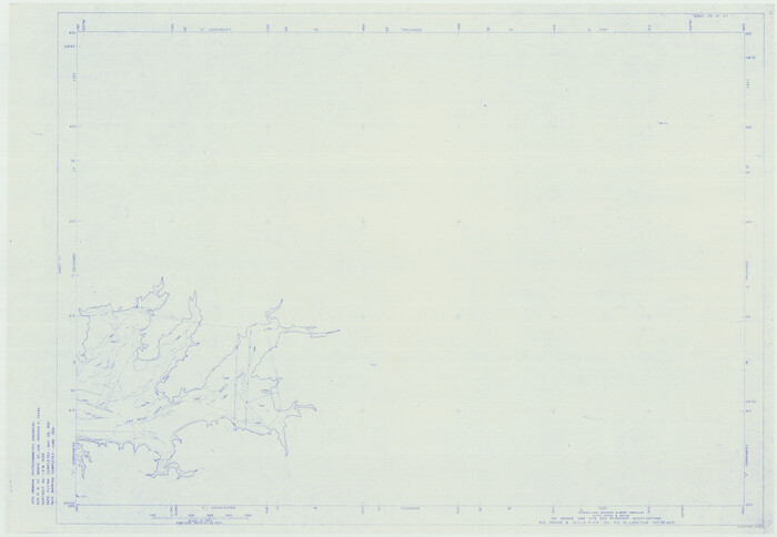

Print $20.00
- Digital $50.00
Amistad International Reservoir on Rio Grande 102
1950
Size 28.5 x 41.2 inches
Map/Doc 75533
Floyd County Sketch File 10
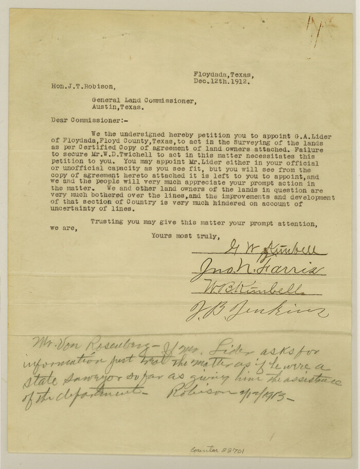

Print $12.00
- Digital $50.00
Floyd County Sketch File 10
1912
Size 11.6 x 8.9 inches
Map/Doc 22701
Webb County Rolled Sketch 69
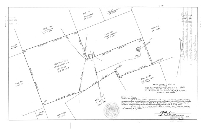

Print $20.00
- Digital $50.00
Webb County Rolled Sketch 69
1964
Size 13.9 x 22.3 inches
Map/Doc 8216
Webb County Working Sketch 15


Print $20.00
- Digital $50.00
Webb County Working Sketch 15
1923
Size 18.8 x 30.4 inches
Map/Doc 72380
Taylor County Sketch File 4
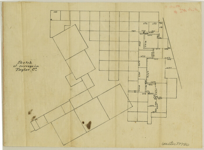

Print $2.00
- Digital $50.00
Taylor County Sketch File 4
Size 7.2 x 9.8 inches
Map/Doc 37780
You may also like
Working Sketch in Archer, Clay & Wichita Co's.


Print $40.00
- Digital $50.00
Working Sketch in Archer, Clay & Wichita Co's.
Size 68.5 x 43.5 inches
Map/Doc 89719
Plano del Lago de Sn. Bernardo en el Seno Mexicano
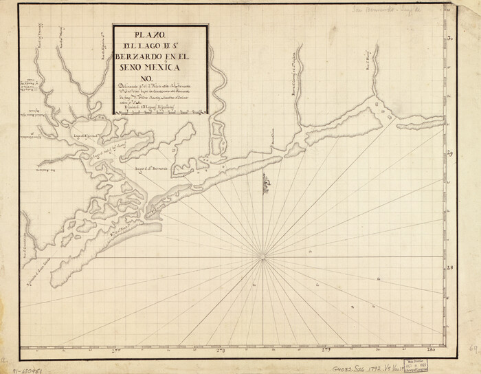

Print $20.00
Plano del Lago de Sn. Bernardo en el Seno Mexicano
1792
Size 13.8 x 17.7 inches
Map/Doc 93617
Brazoria County Working Sketch 3
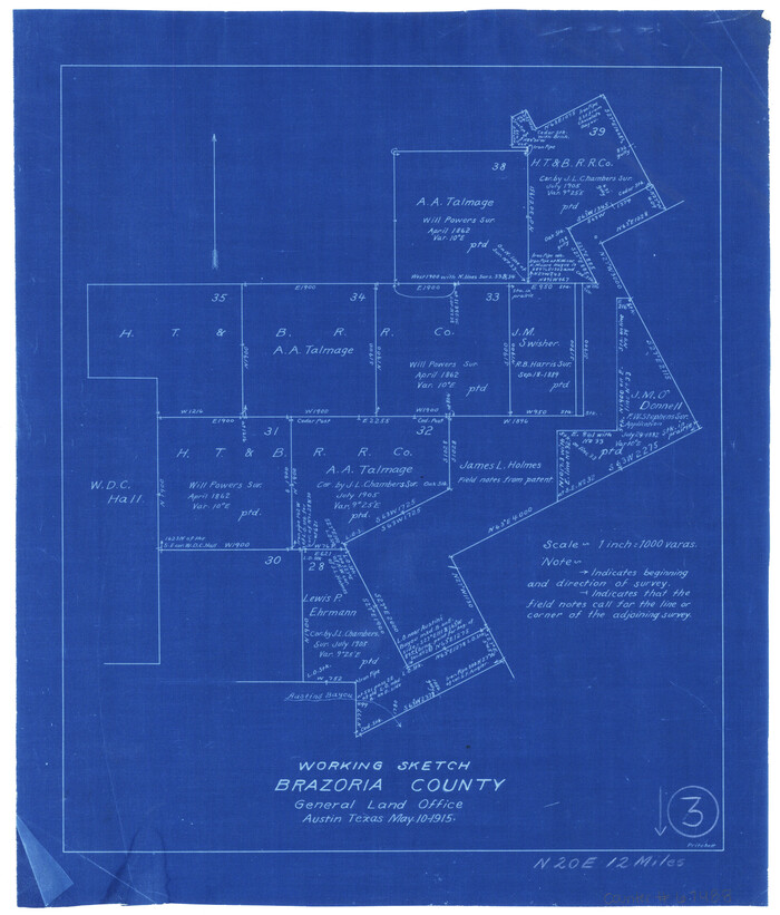

Print $20.00
- Digital $50.00
Brazoria County Working Sketch 3
1915
Size 13.0 x 11.1 inches
Map/Doc 67488
Calcasieu Pass to Sabine Pass
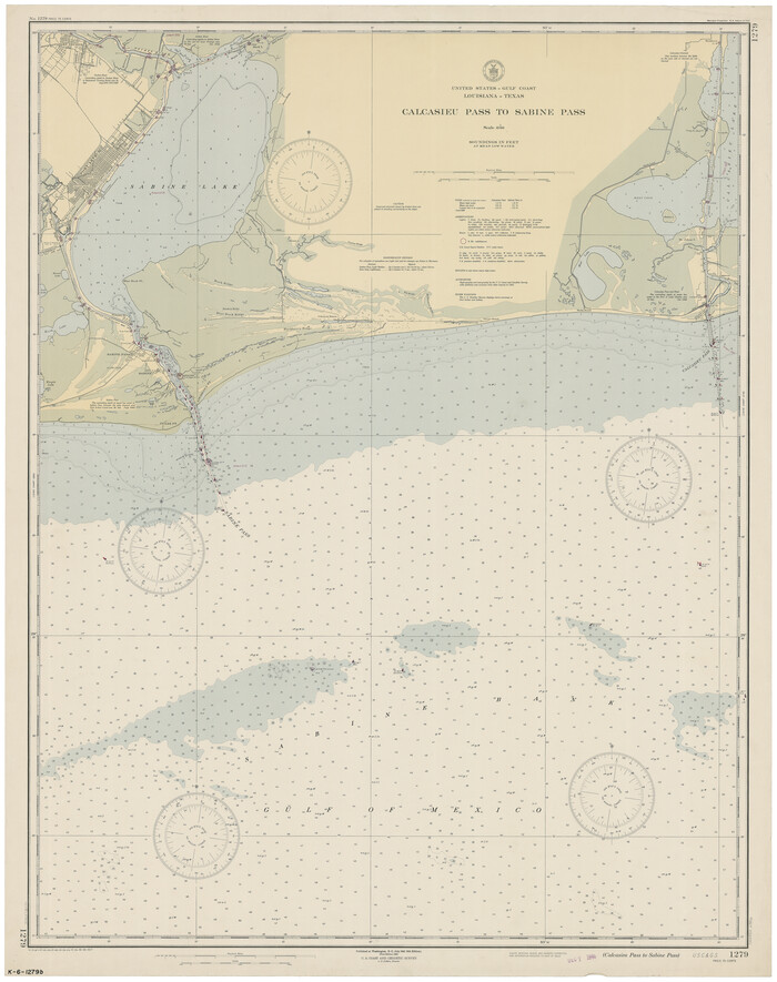

Print $20.00
- Digital $50.00
Calcasieu Pass to Sabine Pass
1946
Size 44.7 x 35.7 inches
Map/Doc 69806
Tom Green County Sketch File 55 1/2
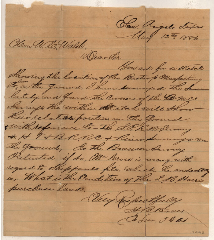

Print $20.00
- Digital $50.00
Tom Green County Sketch File 55 1/2
1886
Size 26.4 x 13.6 inches
Map/Doc 12443
Hunt County Sketch File 5a


Print $6.00
- Digital $50.00
Hunt County Sketch File 5a
1852
Size 10.2 x 15.8 inches
Map/Doc 27093
Glasscock County Rolled Sketch 5


Print $20.00
- Digital $50.00
Glasscock County Rolled Sketch 5
1944
Size 41.4 x 33.7 inches
Map/Doc 6016
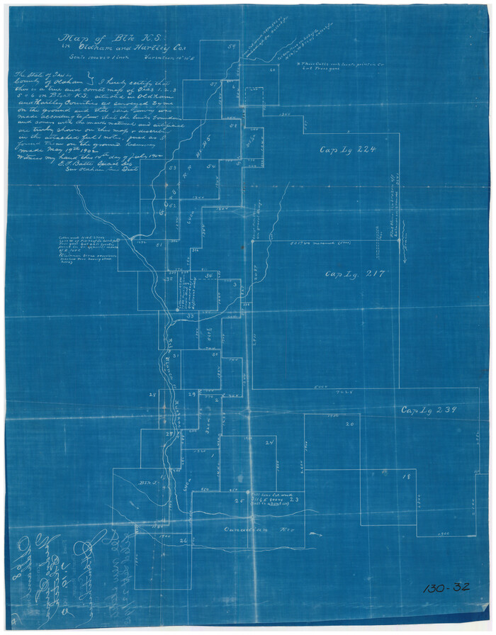
Map of Block KS in Oldham and Hartley County, Texas

Print $20.00
- Digital $50.00
Map of Block KS in Oldham and Hartley County, Texas
1902
Size 16.7 x 21.5 inches
Map/Doc 90768
[Surveys along the Red River made for titles under Radford Berry, Commissioner]
![32, [Surveys along the Red River made for titles under Radford Berry, Commissioner], General Map Collection](https://historictexasmaps.com/wmedia_w700/maps/32.tif.jpg)
![32, [Surveys along the Red River made for titles under Radford Berry, Commissioner], General Map Collection](https://historictexasmaps.com/wmedia_w700/maps/32.tif.jpg)
Print $20.00
- Digital $50.00
[Surveys along the Red River made for titles under Radford Berry, Commissioner]
Size 23.3 x 19.5 inches
Map/Doc 32
Cooke County Boundary File 1


Print $4.00
- Digital $50.00
Cooke County Boundary File 1
Size 12.6 x 7.5 inches
Map/Doc 51826
Upshur County Sketch File 7


Print $4.00
- Digital $50.00
Upshur County Sketch File 7
1849
Size 8.2 x 10.2 inches
Map/Doc 38744
Bailey County Rolled Sketch R and C


Print $51.00
- Digital $50.00
Bailey County Rolled Sketch R and C
1913
Size 10.1 x 16.0 inches
Map/Doc 42350
