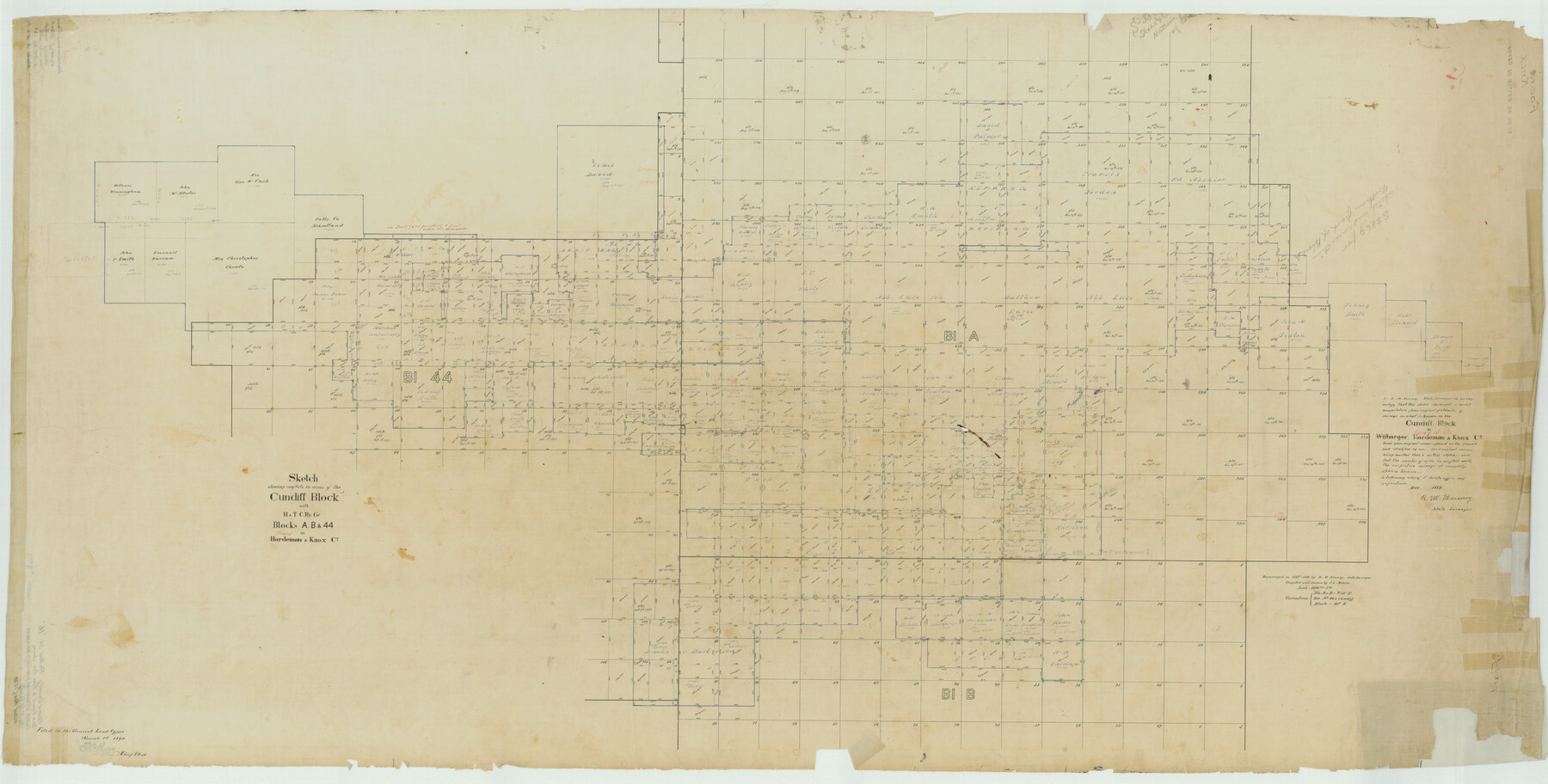
Foard County Rolled Sketch 16
Sketch showing conflicts in acres of the Cundiff Block with H. & T. C. Ry. Cos. Blocks A, B, & 44 in Foard & Knox Cos.
-
Map/Doc
8893
-
Collection
General Map Collection
-
Object Dates
1889 (Creation Date)
1890/11/1 (File Date)
-
People and Organizations
R.M. Kenney (Surveyor/Engineer)
J.L. Mikich (Draftsman)
-
Counties
Foard Knox
-
Subjects
Surveying Rolled Sketch
-
Height x Width
36.9 x 72.8 inches
93.7 x 184.9 cm
-
Medium
linen, manuscript
-
Scale
1" = 1000 varas
Related maps
Foard County Rolled Sketch 15A

Print $20.00
- Digital $50.00
Foard County Rolled Sketch 15A
1889
Size 37.3 x 39.8 inches
Map/Doc 75936
Foard County Rolled Sketch 15A

Print $20.00
- Digital $50.00
Foard County Rolled Sketch 15A
1889
Size 37.5 x 36.1 inches
Map/Doc 8339
Part of: General Map Collection
La Salle County Sketch File 33

Print $2.00
- Digital $50.00
La Salle County Sketch File 33
1875
Size 13.4 x 8.0 inches
Map/Doc 29584
Kimble County Working Sketch 11

Print $20.00
- Digital $50.00
Kimble County Working Sketch 11
1921
Size 19.0 x 25.1 inches
Map/Doc 70079
Montague County Working Sketch 41

Print $40.00
- Digital $50.00
Montague County Working Sketch 41
1923
Size 43.0 x 66.1 inches
Map/Doc 65349
Knox County Sketch File 8

Print $26.00
- Digital $50.00
Knox County Sketch File 8
1882
Size 8.6 x 7.8 inches
Map/Doc 29218
Nueces County Sketch File 30

Print $3.00
- Digital $50.00
Nueces County Sketch File 30
1907
Size 11.4 x 11.9 inches
Map/Doc 32600
Palo Pinto County Sketch File 4

Print $4.00
- Digital $50.00
Palo Pinto County Sketch File 4
1870
Size 8.2 x 12.9 inches
Map/Doc 33394
Eastland County Working Sketch 49

Print $20.00
- Digital $50.00
Eastland County Working Sketch 49
1981
Size 29.0 x 24.6 inches
Map/Doc 68830
Kinney County Working Sketch 40

Print $20.00
- Digital $50.00
Kinney County Working Sketch 40
1972
Size 30.7 x 34.1 inches
Map/Doc 70222
Starr County Working Sketch 16

Print $20.00
- Digital $50.00
Starr County Working Sketch 16
1981
Size 21.5 x 12.0 inches
Map/Doc 63932
Yoakum County Sketch File 18

Print $24.00
- Digital $50.00
Yoakum County Sketch File 18
1898
Size 11.5 x 9.0 inches
Map/Doc 40820
Stephens County Working Sketch Graphic Index

Print $20.00
- Digital $50.00
Stephens County Working Sketch Graphic Index
1940
Size 41.1 x 39.4 inches
Map/Doc 76702
Shackelford County Working Sketch 11

Print $20.00
- Digital $50.00
Shackelford County Working Sketch 11
1993
Size 16.2 x 37.8 inches
Map/Doc 63851
You may also like
Flight Mission No. CRK-7P, Frame 78, Refugio County

Print $20.00
- Digital $50.00
Flight Mission No. CRK-7P, Frame 78, Refugio County
1956
Size 18.2 x 22.0 inches
Map/Doc 86949
Live Oak County Sketch File 25

Print $16.00
- Digital $50.00
Live Oak County Sketch File 25
1919
Size 9.0 x 8.5 inches
Map/Doc 30301
Corpus Christi Bay, Texas

Print $40.00
- Digital $50.00
Corpus Christi Bay, Texas
1867
Size 32.3 x 49.0 inches
Map/Doc 73469

San Patricio County Working Sketch 8

Print $20.00
- Digital $50.00
San Patricio County Working Sketch 8
1936
Size 26.9 x 21.5 inches
Map/Doc 63770
Pecos County Working Sketch 39

Print $20.00
- Digital $50.00
Pecos County Working Sketch 39
1940
Size 37.5 x 37.6 inches
Map/Doc 71511
Andrews County Sketch File 14

Print $48.00
- Digital $50.00
Andrews County Sketch File 14
1887
Size 8.0 x 8.4 inches
Map/Doc 12872

Americae Sive Novi Orbis, Nova Descriptio

Print $20.00
- Digital $50.00
Americae Sive Novi Orbis, Nova Descriptio
1573
Size 15.6 x 22.3 inches
Map/Doc 95834
Flight Mission No. BRE-1P, Frame 126, Nueces County

Print $20.00
- Digital $50.00
Flight Mission No. BRE-1P, Frame 126, Nueces County
1956
Size 18.4 x 22.4 inches
Map/Doc 86692
Shackelford County Sketch File 5

Print $4.00
- Digital $50.00
Shackelford County Sketch File 5
1885
Size 12.3 x 7.6 inches
Map/Doc 36578
Howard County Rolled Sketch 12

Print $20.00
- Digital $50.00
Howard County Rolled Sketch 12
Size 25.8 x 16.5 inches
Map/Doc 6243