[Railroad Map of Falfurias to Hidalgo, Hidalgo County]
-
Map/Doc
89422
-
Collection
Barnes Railroad Collection
-
People and Organizations
Randy Lea Barnes ()
-
Counties
Hidalgo
-
Subjects
Railroads
-
Height x Width
25.0 x 146.5 inches
63.5 x 372.1 cm
-
Medium
blueprint/diazo
-
Features
Lane Ranch House
Raymondville Road
State Highway No. 12
Brewster School
Eltule Ranch House
[Road] to Falfurias
[Road] to Hidalgo
[Road] to Edinburg
Part of: Barnes Railroad Collection
Map showing portion of 140 acre tract owned by Schriener Institute near Kerrville, Texas
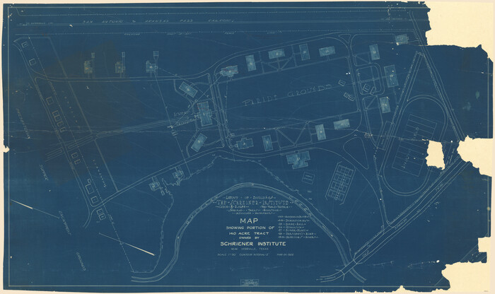

Print $40.00
- Digital $50.00
Map showing portion of 140 acre tract owned by Schriener Institute near Kerrville, Texas
1922
Size 31.6 x 53.0 inches
Map/Doc 89443
[Railroad Map of Falfurias to Hidalgo, Hidalgo County]
![89422, [Railroad Map of Falfurias to Hidalgo, Hidalgo County], Barnes Railroad Collection](https://historictexasmaps.com/wmedia_w700/maps/89422-1.tif.jpg)
![89422, [Railroad Map of Falfurias to Hidalgo, Hidalgo County], Barnes Railroad Collection](https://historictexasmaps.com/wmedia_w700/maps/89422-1.tif.jpg)
Print $40.00
- Digital $50.00
[Railroad Map of Falfurias to Hidalgo, Hidalgo County]
Size 25.0 x 146.5 inches
Map/Doc 89422
[Hidalgo County]
![89517, [Hidalgo County], Barnes Railroad Collection](https://historictexasmaps.com/wmedia_w700/maps/89517.tif.jpg)
![89517, [Hidalgo County], Barnes Railroad Collection](https://historictexasmaps.com/wmedia_w700/maps/89517.tif.jpg)
Print $20.00
- Digital $50.00
[Hidalgo County]
Size 44.7 x 26.0 inches
Map/Doc 89517
Copy of connection with surveys of Bl. D, GH&SA Ry. Co. in Kimble County
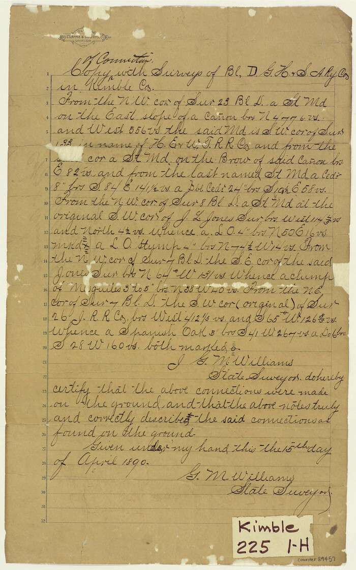

Print $6.00
- Digital $50.00
Copy of connection with surveys of Bl. D, GH&SA Ry. Co. in Kimble County
1890
Size 14.2 x 8.9 inches
Map/Doc 89457
[Knox County Blk. 44, H&TC]
![89463, [Knox County Blk. 44, H&TC], Barnes Railroad Collection](https://historictexasmaps.com/wmedia_w700/pdf_converted_jpg/qi_pdf_thumbnail_34701.jpg)
![89463, [Knox County Blk. 44, H&TC], Barnes Railroad Collection](https://historictexasmaps.com/wmedia_w700/pdf_converted_jpg/qi_pdf_thumbnail_34701.jpg)
Print $42.00
- Digital $50.00
[Knox County Blk. 44, H&TC]
1892
Size 20.7 x 21.9 inches
Map/Doc 89463
You may also like
Hudspeth County Rolled Sketch 66


Print $20.00
- Digital $50.00
Hudspeth County Rolled Sketch 66
1973
Size 12.0 x 19.0 inches
Map/Doc 6262
Freestone County Sketch File 8


Print $4.00
- Digital $50.00
Freestone County Sketch File 8
1859
Size 5.8 x 8.1 inches
Map/Doc 23054
Webb County Sketch File C


Print $10.00
- Digital $50.00
Webb County Sketch File C
1915
Size 14.4 x 8.8 inches
Map/Doc 39668
Red River, Bois D'Arc Creek Floodway Sheet No. 5
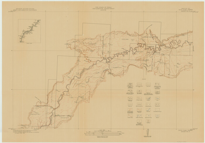

Print $20.00
- Digital $50.00
Red River, Bois D'Arc Creek Floodway Sheet No. 5
1915
Size 22.3 x 31.9 inches
Map/Doc 69660
Briscoe County
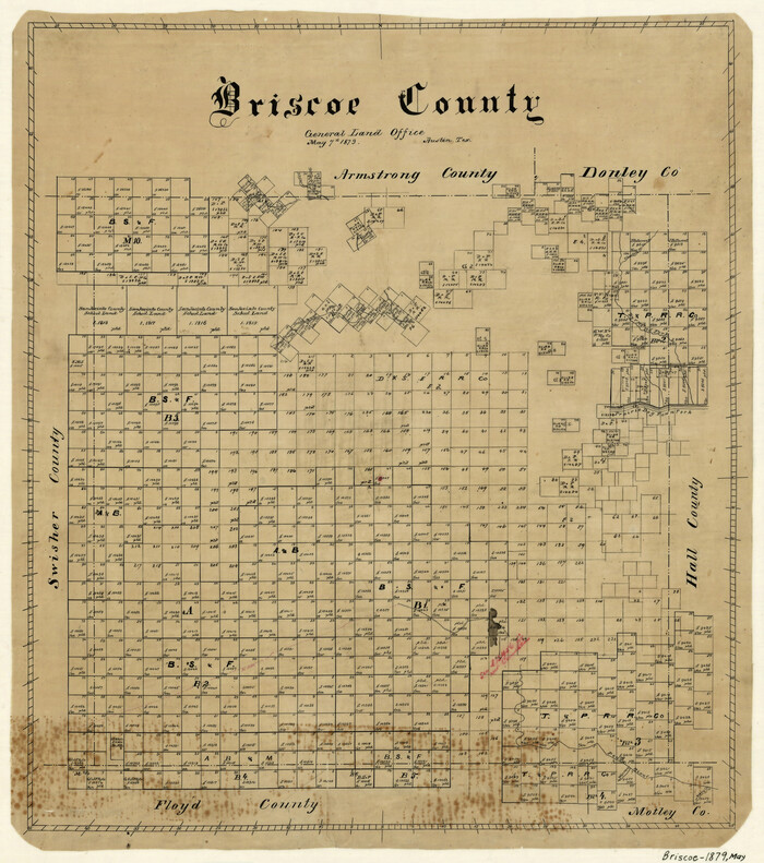

Print $20.00
- Digital $50.00
Briscoe County
1879
Size 21.7 x 19.3 inches
Map/Doc 3332
Newton County Working Sketch 34
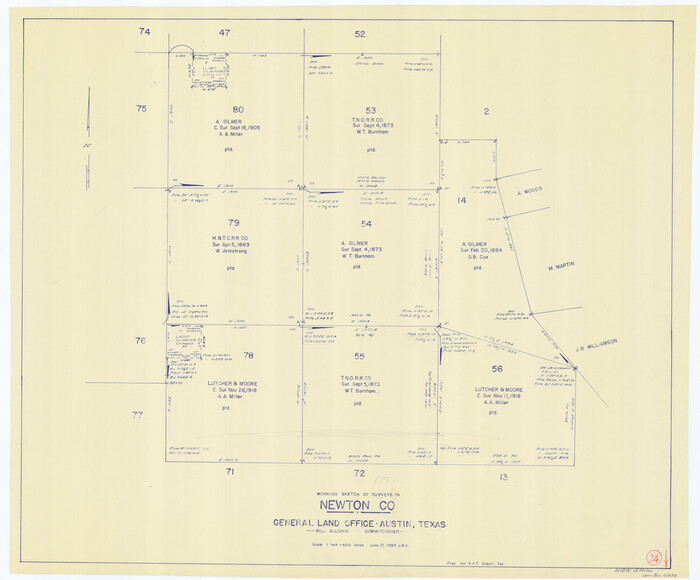

Print $20.00
- Digital $50.00
Newton County Working Sketch 34
1959
Size 27.0 x 32.6 inches
Map/Doc 71280
Map of C. C. Slaughter Cattle Co.'s Ranch, Cochran-Hockley Counties, Texas
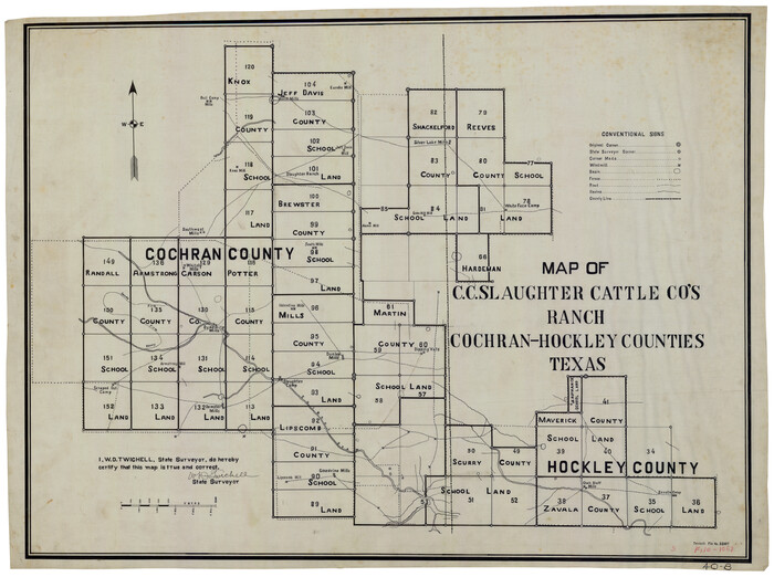

Print $20.00
- Digital $50.00
Map of C. C. Slaughter Cattle Co.'s Ranch, Cochran-Hockley Counties, Texas
Size 27.4 x 20.3 inches
Map/Doc 90439
Edwards County Working Sketch 18


Print $20.00
- Digital $50.00
Edwards County Working Sketch 18
1931
Size 34.3 x 37.0 inches
Map/Doc 68894
Harris County Sketch File 19
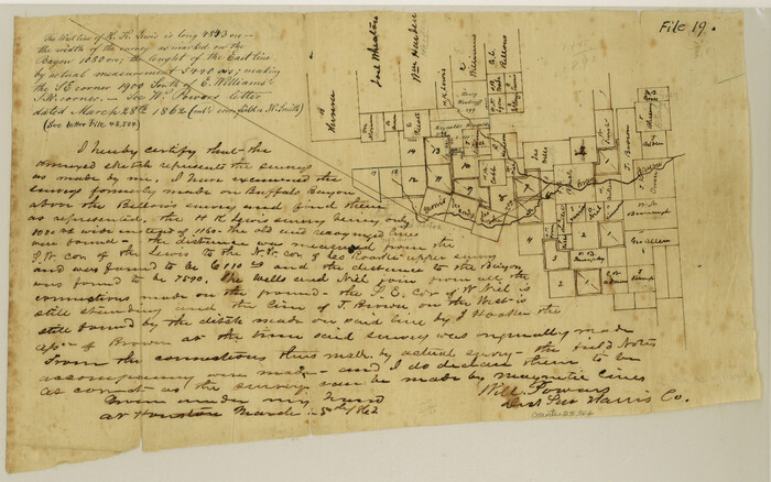

Print $4.00
- Digital $50.00
Harris County Sketch File 19
1862
Size 8.7 x 13.9 inches
Map/Doc 25366
Flight Mission No. DQN-7K, Frame 15, Calhoun County


Print $20.00
- Digital $50.00
Flight Mission No. DQN-7K, Frame 15, Calhoun County
1953
Size 18.4 x 22.1 inches
Map/Doc 84466
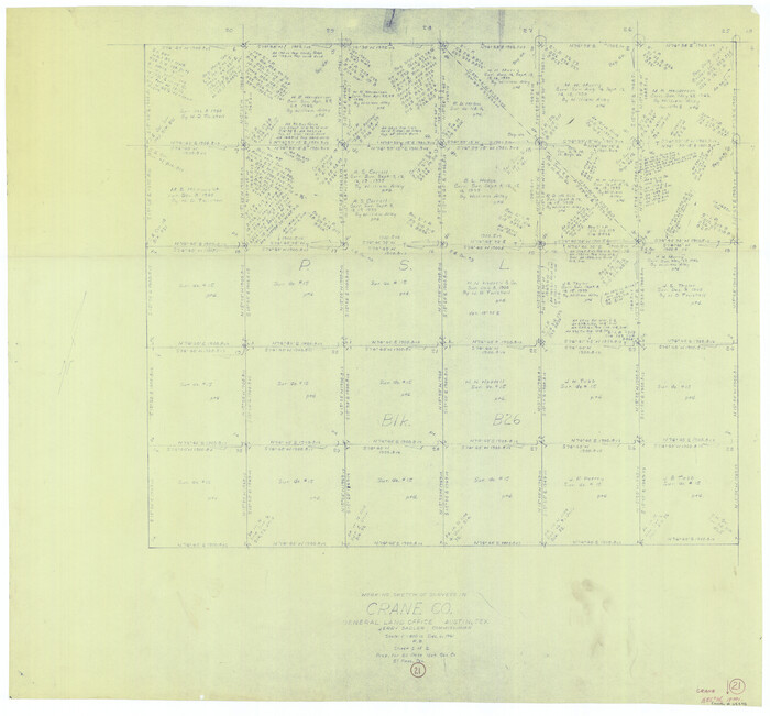
Crane County Working Sketch 21

Print $20.00
- Digital $50.00
Crane County Working Sketch 21
1961
Size 34.5 x 37.1 inches
Map/Doc 68298
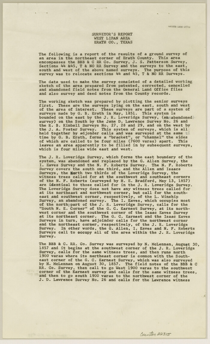
Erath County Sketch File 33

Print $11.00
- Digital $50.00
Erath County Sketch File 33
1962
Size 14.4 x 8.8 inches
Map/Doc 22315
![89422, [Railroad Map of Falfurias to Hidalgo, Hidalgo County], Barnes Railroad Collection](https://historictexasmaps.com/wmedia_w1800h1800/maps/89422-1.tif.jpg)
