[Sketch of Blk. 1, I. & G. N., Secs. 61-65, 545, Pt. Blk. 194]
186-96
-
Map/Doc
89637
-
Collection
Twichell Survey Records
-
Counties
Pecos
-
Height x Width
56.2 x 22.8 inches
142.8 x 57.9 cm
Part of: Twichell Survey Records
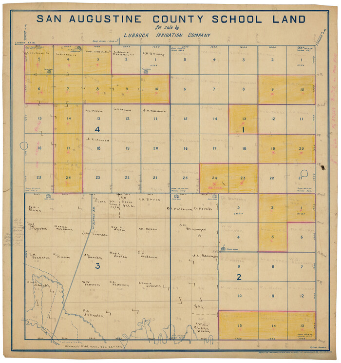
San Augustine County School Land for sale by Lubbock Irrigation Company

Print $20.00
- Digital $50.00
San Augustine County School Land for sale by Lubbock Irrigation Company
Size 23.4 x 24.8 inches
Map/Doc 92826
[B. S. & F. Blk. M10, D. & S. E. RR. Co. Secs. 138 thru 149]
![90133, [B. S. & F. Blk. M10, D. & S. E. RR. Co. Secs. 138 thru 149], Twichell Survey Records](https://historictexasmaps.com/wmedia_w700/maps/90133-1.tif.jpg)
![90133, [B. S. & F. Blk. M10, D. & S. E. RR. Co. Secs. 138 thru 149], Twichell Survey Records](https://historictexasmaps.com/wmedia_w700/maps/90133-1.tif.jpg)
Print $20.00
- Digital $50.00
[B. S. & F. Blk. M10, D. & S. E. RR. Co. Secs. 138 thru 149]
Size 26.4 x 15.5 inches
Map/Doc 90133
Map of XIT Lands, vicinity of Farwell, Texas


Print $20.00
- Digital $50.00
Map of XIT Lands, vicinity of Farwell, Texas
Size 19.6 x 30.8 inches
Map/Doc 91654
[3KA and vicinity]
![90846, [3KA and vicinity], Twichell Survey Records](https://historictexasmaps.com/wmedia_w700/maps/90846-2.tif.jpg)
![90846, [3KA and vicinity], Twichell Survey Records](https://historictexasmaps.com/wmedia_w700/maps/90846-2.tif.jpg)
Print $20.00
- Digital $50.00
[3KA and vicinity]
Size 32.9 x 10.3 inches
Map/Doc 90846
Section M, Tech Memorial Park, Inc.


Print $3.00
- Digital $50.00
Section M, Tech Memorial Park, Inc.
1950
Size 11.2 x 17.3 inches
Map/Doc 92784
[Sketch of Block A1 in Hartley County]
![90762, [Sketch of Block A1 in Hartley County], Twichell Survey Records](https://historictexasmaps.com/wmedia_w700/maps/90762-1.tif.jpg)
![90762, [Sketch of Block A1 in Hartley County], Twichell Survey Records](https://historictexasmaps.com/wmedia_w700/maps/90762-1.tif.jpg)
Print $20.00
- Digital $50.00
[Sketch of Block A1 in Hartley County]
1902
Size 11.3 x 21.4 inches
Map/Doc 90762
[North part of G. C. & S. F. Block OP, Runnels County School Land]
![90309, [North part of G. C. & S. F. Block OP, Runnels County School Land], Twichell Survey Records](https://historictexasmaps.com/wmedia_w700/maps/90309-1.tif.jpg)
![90309, [North part of G. C. & S. F. Block OP, Runnels County School Land], Twichell Survey Records](https://historictexasmaps.com/wmedia_w700/maps/90309-1.tif.jpg)
Print $20.00
- Digital $50.00
[North part of G. C. & S. F. Block OP, Runnels County School Land]
Size 14.3 x 17.6 inches
Map/Doc 90309
Amherst Independent School District Situated in Lamb County, Texas


Print $20.00
- Digital $50.00
Amherst Independent School District Situated in Lamb County, Texas
Size 25.0 x 18.9 inches
Map/Doc 92203
Map of the Northeast part of the Pitchfork Ranch


Print $20.00
- Digital $50.00
Map of the Northeast part of the Pitchfork Ranch
1916
Size 23.2 x 23.6 inches
Map/Doc 91046
[H. & T. C. RR. Company, Block 47 and vicinity]
![91157, [H. & T. C. RR. Company, Block 47 and vicinity], Twichell Survey Records](https://historictexasmaps.com/wmedia_w700/maps/91157-1.tif.jpg)
![91157, [H. & T. C. RR. Company, Block 47 and vicinity], Twichell Survey Records](https://historictexasmaps.com/wmedia_w700/maps/91157-1.tif.jpg)
Print $20.00
- Digital $50.00
[H. & T. C. RR. Company, Block 47 and vicinity]
Size 20.7 x 24.3 inches
Map/Doc 91157
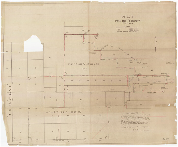
Plat in Pecos County, Texas

Print $20.00
- Digital $50.00
Plat in Pecos County, Texas
1928
Size 42.6 x 35.3 inches
Map/Doc 89831
You may also like
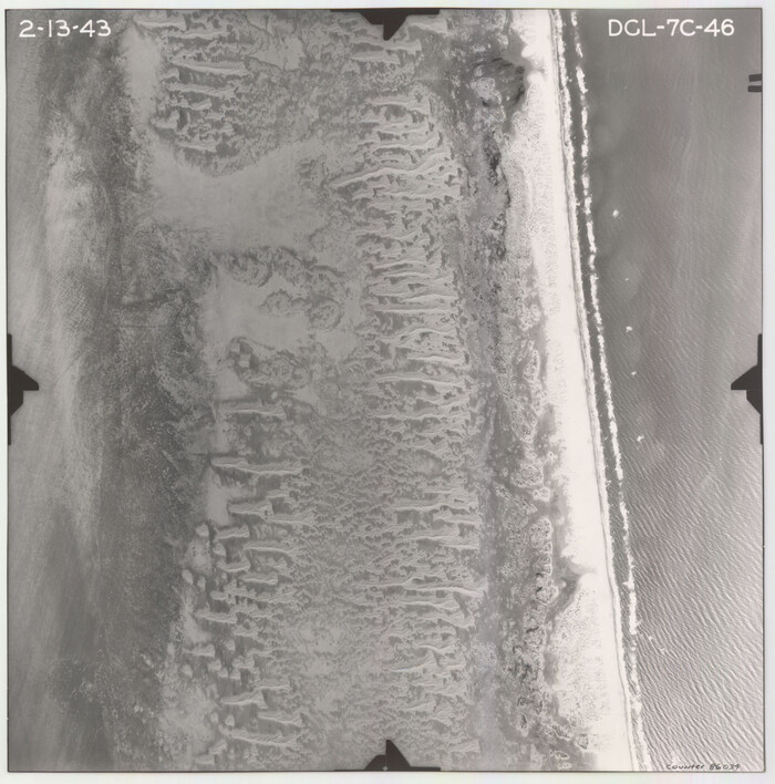
Flight Mission No. DCL-7C, Frame 46, Kenedy County

Print $20.00
- Digital $50.00
Flight Mission No. DCL-7C, Frame 46, Kenedy County
1943
Size 15.4 x 15.3 inches
Map/Doc 86034
Kinney County Working Sketch 39


Print $20.00
- Digital $50.00
Kinney County Working Sketch 39
1972
Size 37.7 x 44.8 inches
Map/Doc 70221
Frio County Rolled Sketch HM


Print $20.00
- Digital $50.00
Frio County Rolled Sketch HM
1935
Size 41.2 x 30.6 inches
Map/Doc 8898
The Rand-McNally New Commercial Atlas Map of Texas
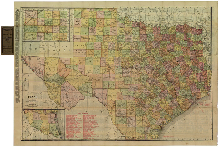

Print $20.00
The Rand-McNally New Commercial Atlas Map of Texas
1914
Size 28.6 x 42.4 inches
Map/Doc 78225
Culberson County Rolled Sketch 37
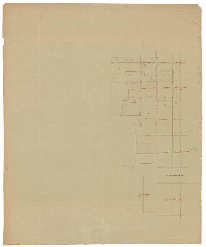

Print $20.00
- Digital $50.00
Culberson County Rolled Sketch 37
Size 29.5 x 24.6 inches
Map/Doc 78464
Dickens County
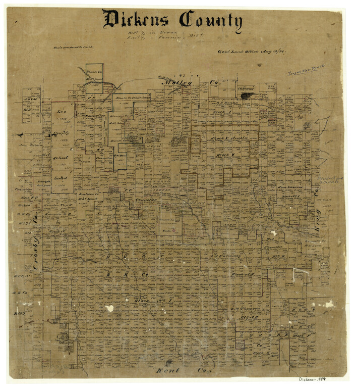

Print $20.00
- Digital $50.00
Dickens County
1884
Size 20.9 x 19.3 inches
Map/Doc 3487
Brewster County Rolled Sketch 22F
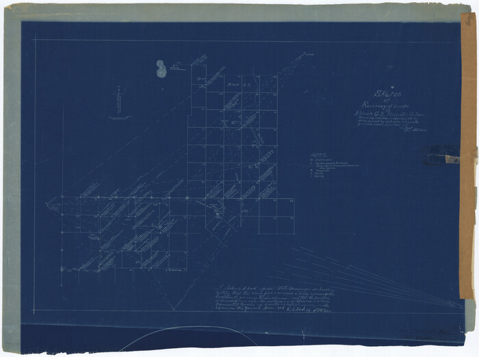

Print $20.00
- Digital $50.00
Brewster County Rolled Sketch 22F
1909
Size 19.0 x 25.4 inches
Map/Doc 5206
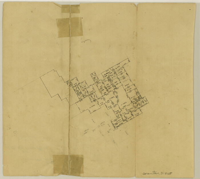
McLennan County Sketch File 12

Print $4.00
- Digital $50.00
McLennan County Sketch File 12
Size 8.3 x 9.3 inches
Map/Doc 31265
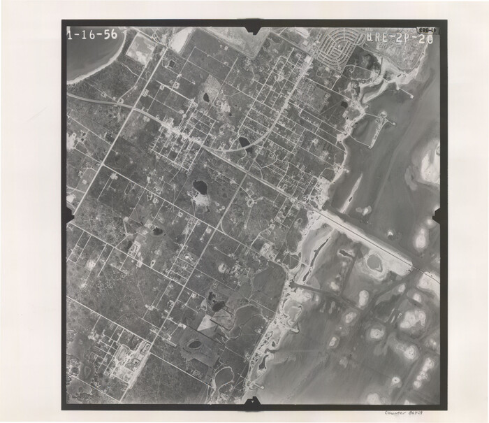
Flight Mission No. BRE-2P, Frame 20, Nueces County

Print $20.00
- Digital $50.00
Flight Mission No. BRE-2P, Frame 20, Nueces County
1956
Size 17.1 x 19.8 inches
Map/Doc 86729
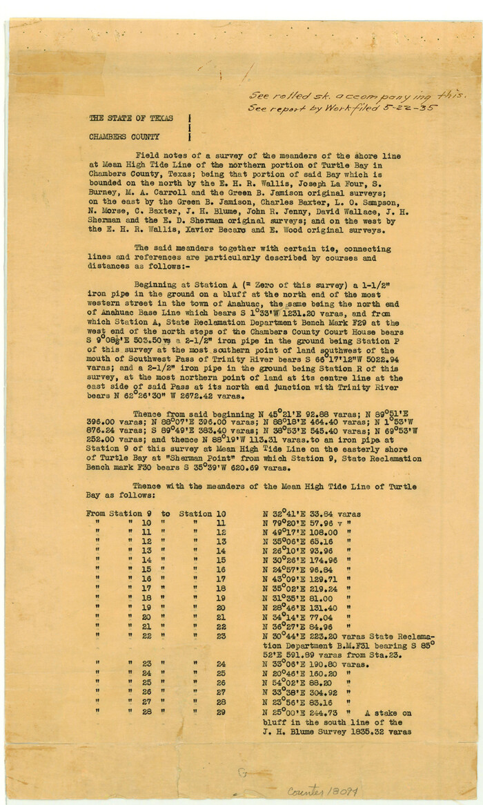
Chambers County Sketch File 55

Print $10.00
- Digital $50.00
Chambers County Sketch File 55
1935
Size 14.3 x 8.6 inches
Map/Doc 18094
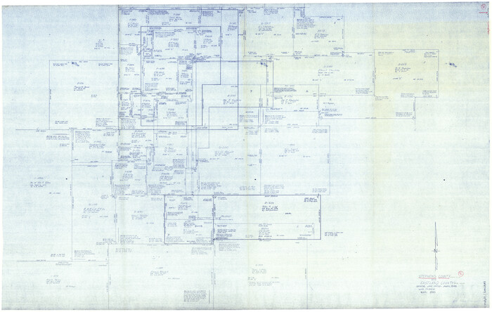
Stephens County Working Sketch 37

Print $40.00
- Digital $50.00
Stephens County Working Sketch 37
1983
Size 42.9 x 67.7 inches
Map/Doc 63980
![89637, [Sketch of Blk. 1, I. & G. N., Secs. 61-65, 545, Pt. Blk. 194], Twichell Survey Records](https://historictexasmaps.com/wmedia_w1800h1800/maps/89637-1.tif.jpg)
![91955, [PSL Block B19], Twichell Survey Records](https://historictexasmaps.com/wmedia_w700/maps/91955-1.tif.jpg)
