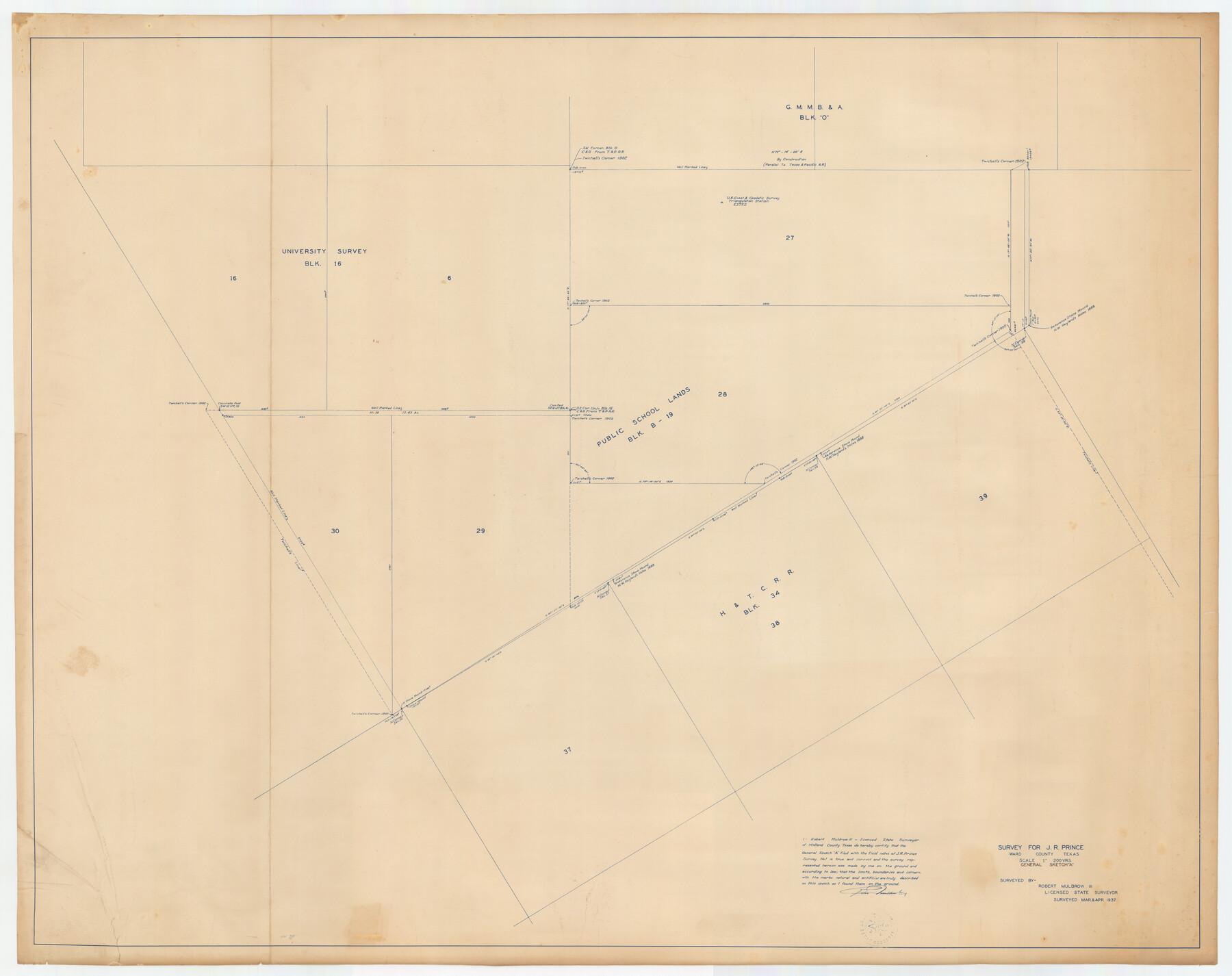
Survey for J. R. Prince, Ward County, Texas
-
Map/Doc
89905
-
Collection
Twichell Survey Records
-
Object Dates
4/1937 (Creation Date)
-
People and Organizations
Robert Muldrow III (Surveyor/Engineer)
-
Counties
Ward
-
Height x Width
47.6 x 37.7 inches
120.9 x 95.8 cm
Part of: Twichell Survey Records
Rhyne Simpson Addition City of Lubbock Section 3, Block O

Print $20.00
- Digital $50.00
Rhyne Simpson Addition City of Lubbock Section 3, Block O
1951
Size 18.2 x 23.4 inches
Map/Doc 92845
Subdivision of Halsell Cattle Company's Sod House Pasture Situated in Lamb County, Texas

Print $20.00
- Digital $50.00
Subdivision of Halsell Cattle Company's Sod House Pasture Situated in Lamb County, Texas
Size 37.3 x 28.2 inches
Map/Doc 92169
[Part of Hutchison County]
![91144, [Part of Hutchison County], Twichell Survey Records](https://historictexasmaps.com/wmedia_w700/maps/91144-1.tif.jpg)
Print $2.00
- Digital $50.00
[Part of Hutchison County]
1875
Size 7.5 x 11.5 inches
Map/Doc 91144
Sylvan Sander's Map of Lubbock, Hockley, and Cochran Counties, Texas

Print $20.00
- Digital $50.00
Sylvan Sander's Map of Lubbock, Hockley, and Cochran Counties, Texas
1925
Size 43.6 x 21.8 inches
Map/Doc 92611
Battlefields of the Civil War

Battlefields of the Civil War
1961
Size 25.8 x 19.7 inches
Map/Doc 92374
[John Gibbs and surrounding surveys]
![91161, [John Gibbs and surrounding surveys], Twichell Survey Records](https://historictexasmaps.com/wmedia_w700/maps/91161-1.tif.jpg)
Print $20.00
- Digital $50.00
[John Gibbs and surrounding surveys]
Size 18.8 x 22.8 inches
Map/Doc 91161
[Sketch N, showing H. & G. N. Block 7, and Blocks C-1 through C-5]
![91768, [Sketch N, showing H. & G. N. Block 7, and Blocks C-1 through C-5], Twichell Survey Records](https://historictexasmaps.com/wmedia_w700/maps/91768-1.tif.jpg)
Print $20.00
- Digital $50.00
[Sketch N, showing H. & G. N. Block 7, and Blocks C-1 through C-5]
Size 14.6 x 16.7 inches
Map/Doc 91768
Wm. H. Bush Estate resurveyed by W. D. Twichell May 1905

Print $40.00
- Digital $50.00
Wm. H. Bush Estate resurveyed by W. D. Twichell May 1905
1905
Size 36.2 x 57.1 inches
Map/Doc 89784
[Mrs. May Vinson Survey]
![91919, [Mrs. May Vinson Survey], Twichell Survey Records](https://historictexasmaps.com/wmedia_w700/maps/91919-1.tif.jpg)
Print $20.00
- Digital $50.00
[Mrs. May Vinson Survey]
Size 32.8 x 14.9 inches
Map/Doc 91919
[W. T. Brewer: M. McDonald, Ralph Gilpin, A. Vanhooser, John Baker, John R. Taylor Surveys]
![90959, [W. T. Brewer: M. McDonald, Ralph Gilpin, A. Vanhooser, John Baker, John R. Taylor Surveys], Twichell Survey Records](https://historictexasmaps.com/wmedia_w700/maps/90959-1.tif.jpg)
Print $2.00
- Digital $50.00
[W. T. Brewer: M. McDonald, Ralph Gilpin, A. Vanhooser, John Baker, John R. Taylor Surveys]
Size 9.1 x 11.2 inches
Map/Doc 90959
[Blocks C, M and B, north of Morris County School Land]
![90493, [Blocks C, M and B, north of Morris County School Land], Twichell Survey Records](https://historictexasmaps.com/wmedia_w700/maps/90493-1.tif.jpg)
Print $20.00
- Digital $50.00
[Blocks C, M and B, north of Morris County School Land]
Size 21.0 x 14.2 inches
Map/Doc 90493
[Sketch showing surveys in the south half of Potter County, Blocks 6, 20-E, JAD, M-3, S, B. S. & F. Blocks 1 and 9, and A. B. and M. Block 2]
![91741, [Sketch showing surveys in the south half of Potter County, Blocks 6, 20-E, JAD, M-3, S, B. S. & F. Blocks 1 and 9, and A. B. and M. Block 2], Twichell Survey Records](https://historictexasmaps.com/wmedia_w700/maps/91741-1.tif.jpg)
Print $20.00
- Digital $50.00
[Sketch showing surveys in the south half of Potter County, Blocks 6, 20-E, JAD, M-3, S, B. S. & F. Blocks 1 and 9, and A. B. and M. Block 2]
Size 40.5 x 18.1 inches
Map/Doc 91741
You may also like
[Garza, Blanco, Uvalde and Crosby County School Land]
![90252, [Garza, Blanco, Uvalde and Crosby County School Land], Twichell Survey Records](https://historictexasmaps.com/wmedia_w700/maps/90252-1.tif.jpg)
Print $20.00
- Digital $50.00
[Garza, Blanco, Uvalde and Crosby County School Land]
1913
Size 12.4 x 12.2 inches
Map/Doc 90252
Burnet County Working Sketch 9

Print $20.00
- Digital $50.00
Burnet County Working Sketch 9
1975
Size 39.7 x 25.2 inches
Map/Doc 67852
Dawson County Working Sketch 4

Print $20.00
- Digital $50.00
Dawson County Working Sketch 4
1926
Size 32.2 x 23.8 inches
Map/Doc 68549
[Area north of Leagues 1 & 4, Morris County School Land]
![90353, [Area north of Leagues 1 & 4, Morris County School Land], Twichell Survey Records](https://historictexasmaps.com/wmedia_w700/maps/90353-1.tif.jpg)
Print $20.00
- Digital $50.00
[Area north of Leagues 1 & 4, Morris County School Land]
Size 21.3 x 16.0 inches
Map/Doc 90353
Strip Map of Texas-Oklahoma Boundary from Denison East to the Oklahoma-Arkansas State Line

Print $20.00
- Digital $50.00
Strip Map of Texas-Oklahoma Boundary from Denison East to the Oklahoma-Arkansas State Line
1933
Size 37.7 x 24.5 inches
Map/Doc 75927
Flight Mission No. CLL-1N, Frame 88, Willacy County

Print $20.00
- Digital $50.00
Flight Mission No. CLL-1N, Frame 88, Willacy County
1954
Size 18.4 x 22.1 inches
Map/Doc 87034
[Hutchinson County, Blocks R, XO, M-22, M-25]
![91152, [Hutchinson County, Blocks R, XO, M-22, M-25], Twichell Survey Records](https://historictexasmaps.com/wmedia_w700/maps/91152-1.tif.jpg)
Print $20.00
- Digital $50.00
[Hutchinson County, Blocks R, XO, M-22, M-25]
Size 28.5 x 25.9 inches
Map/Doc 91152
Bandera County Sketch File 27

Print $40.00
- Digital $50.00
Bandera County Sketch File 27
1930
Size 17.1 x 12.4 inches
Map/Doc 14019
Flight Mission No. CRC-4R, Frame 160, Chambers County

Print $20.00
- Digital $50.00
Flight Mission No. CRC-4R, Frame 160, Chambers County
1956
Size 18.5 x 22.3 inches
Map/Doc 84919
Lake Worth Boundary

Print $20.00
- Digital $50.00
Lake Worth Boundary
Size 19.5 x 33.2 inches
Map/Doc 62211
Donley County Sketch File 1

Print $6.00
- Digital $50.00
Donley County Sketch File 1
Size 8.2 x 6.5 inches
Map/Doc 21214
Limestone County Working Sketch 23

Print $20.00
- Digital $50.00
Limestone County Working Sketch 23
1980
Size 37.3 x 37.5 inches
Map/Doc 70573