[Texas State Capitol Land]
110-5
-
Map/Doc
89940
-
Collection
Twichell Survey Records
-
People and Organizations
Sylvan Sanders (Draftsman)
W.D. Twichell (Compiler)
-
Counties
Hockley Lamb
-
Height x Width
37.6 x 72.6 inches
95.5 x 184.4 cm
Part of: Twichell Survey Records
Shamrock, Amended Plat on Section 44, Block 17, Wheeler County, Texas


Print $20.00
- Digital $50.00
Shamrock, Amended Plat on Section 44, Block 17, Wheeler County, Texas
Size 30.0 x 35.5 inches
Map/Doc 92144
Portion of Culberson County, Texas


Print $20.00
- Digital $50.00
Portion of Culberson County, Texas
1948
Size 31.1 x 33.2 inches
Map/Doc 92609
Scurry County North Snyder Area


Print $20.00
- Digital $50.00
Scurry County North Snyder Area
1949
Size 32.7 x 23.6 inches
Map/Doc 92920
[Yates, just south of Runnels County School Land]
![91653, [Yates, just south of Runnels County School Land], Twichell Survey Records](https://historictexasmaps.com/wmedia_w700/maps/91653-1.tif.jpg)
![91653, [Yates, just south of Runnels County School Land], Twichell Survey Records](https://historictexasmaps.com/wmedia_w700/maps/91653-1.tif.jpg)
Print $20.00
- Digital $50.00
[Yates, just south of Runnels County School Land]
1928
Size 17.7 x 22.7 inches
Map/Doc 91653
[Blocks 47, Z, XO2, M18, M23, M25, and H]
![91186, [Blocks 47, Z, XO2, M18, M23, M25, and H], Twichell Survey Records](https://historictexasmaps.com/wmedia_w700/maps/91186-1.tif.jpg)
![91186, [Blocks 47, Z, XO2, M18, M23, M25, and H], Twichell Survey Records](https://historictexasmaps.com/wmedia_w700/maps/91186-1.tif.jpg)
Print $20.00
- Digital $50.00
[Blocks 47, Z, XO2, M18, M23, M25, and H]
Size 30.1 x 23.5 inches
Map/Doc 91186
[Worksheets related to the Wilson Strickland survey and vicinity]
![91268, [Vicinity and related to the Wilson Strickland Survey], Twichell Survey Records](https://historictexasmaps.com/wmedia_w700/maps/91268-1.tif.jpg)
![91268, [Vicinity and related to the Wilson Strickland Survey], Twichell Survey Records](https://historictexasmaps.com/wmedia_w700/maps/91268-1.tif.jpg)
Print $20.00
- Digital $50.00
[Worksheets related to the Wilson Strickland survey and vicinity]
Size 21.1 x 18.9 inches
Map/Doc 91268
[Lgs. 192-195, 176-179]
![90254, [Lgs. 192-195, 176-179], Twichell Survey Records](https://historictexasmaps.com/wmedia_w700/maps/90254-1.tif.jpg)
![90254, [Lgs. 192-195, 176-179], Twichell Survey Records](https://historictexasmaps.com/wmedia_w700/maps/90254-1.tif.jpg)
Print $20.00
- Digital $50.00
[Lgs. 192-195, 176-179]
Size 18.2 x 25.2 inches
Map/Doc 90254
Spade Ranch Hockley County, Texas


Print $20.00
- Digital $50.00
Spade Ranch Hockley County, Texas
1948
Size 14.2 x 19.0 inches
Map/Doc 92225
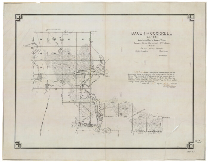
Bauer & Cockrell Lands Located in Martin County, Texas

Print $20.00
- Digital $50.00
Bauer & Cockrell Lands Located in Martin County, Texas
1908
Size 28.5 x 22.3 inches
Map/Doc 91365
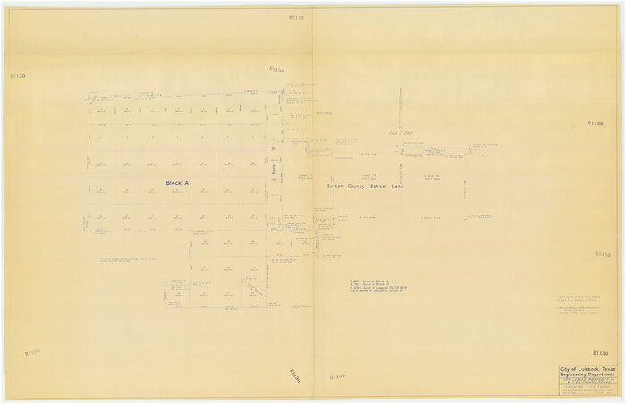
City Leased Property in Bailey County, Texas

Print $40.00
- Digital $50.00
City Leased Property in Bailey County, Texas
1952
Size 65.9 x 42.7 inches
Map/Doc 89868
Dr. S. C. Arnett Farm Part Section 5, Block E2


Print $20.00
- Digital $50.00
Dr. S. C. Arnett Farm Part Section 5, Block E2
Size 12.7 x 15.8 inches
Map/Doc 92296
You may also like
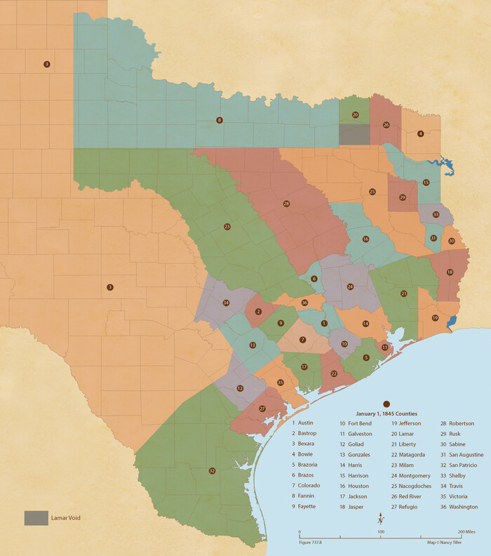
Republic Counties. January 1, 1845

Print $20.00
Republic Counties. January 1, 1845
2020
Size 24.5 x 21.7 inches
Map/Doc 96318
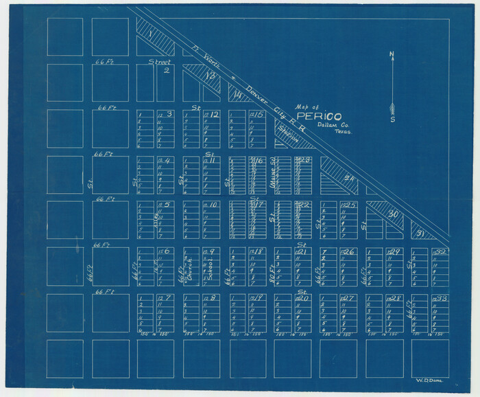
Map of Perico, Dallam County, Texas

Print $20.00
- Digital $50.00
Map of Perico, Dallam County, Texas
Size 20.1 x 16.7 inches
Map/Doc 92128
Dawson County Sketch File 23


Print $4.00
- Digital $50.00
Dawson County Sketch File 23
Size 9.2 x 11.5 inches
Map/Doc 20575
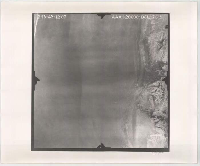
Flight Mission No. DCL-7C, Frame 5, Kenedy County

Print $20.00
- Digital $50.00
Flight Mission No. DCL-7C, Frame 5, Kenedy County
1943
Size 18.5 x 22.3 inches
Map/Doc 85997
Castro County Boundary File 1c


Print $40.00
- Digital $50.00
Castro County Boundary File 1c
Size 24.2 x 19.2 inches
Map/Doc 51224
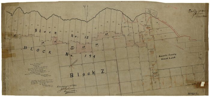
Pecos County Rolled Sketch 47

Print $20.00
- Digital $50.00
Pecos County Rolled Sketch 47
1913
Size 20.3 x 43.8 inches
Map/Doc 7225
[South part of Lamar County]
![76045, [South part of Lamar County], General Map Collection](https://historictexasmaps.com/wmedia_w700/maps/76045.tif.jpg)
![76045, [South part of Lamar County], General Map Collection](https://historictexasmaps.com/wmedia_w700/maps/76045.tif.jpg)
Print $20.00
- Digital $50.00
[South part of Lamar County]
1844
Size 15.5 x 20.5 inches
Map/Doc 76045
Coast Chart No. 212 - From Latitude 26° 33' to the Rio Grande, Texas


Print $20.00
- Digital $50.00
Coast Chart No. 212 - From Latitude 26° 33' to the Rio Grande, Texas
1886
Size 37.8 x 34.1 inches
Map/Doc 73503
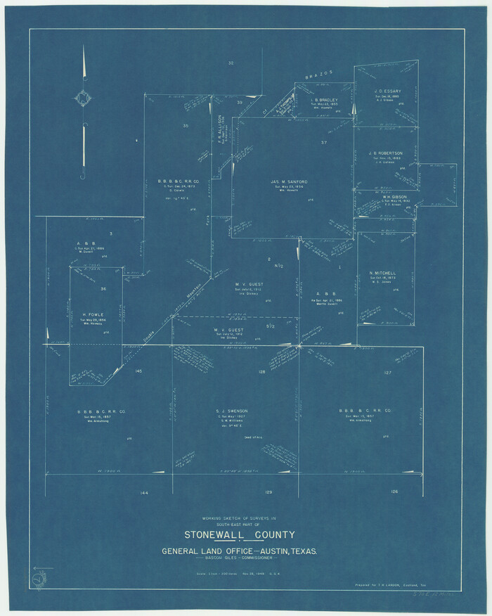
Stonewall County Working Sketch 7

Print $20.00
- Digital $50.00
Stonewall County Working Sketch 7
1949
Size 30.7 x 24.5 inches
Map/Doc 62314
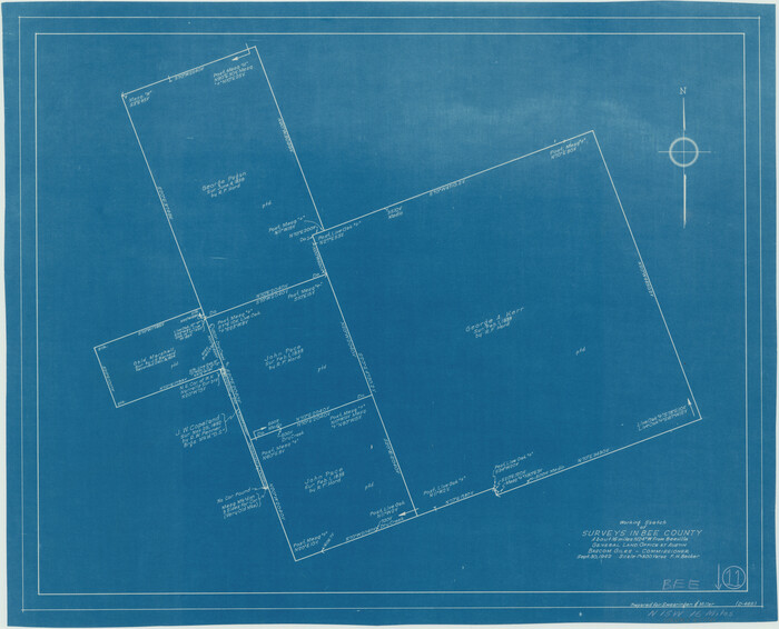
Bee County Working Sketch 11

Print $20.00
- Digital $50.00
Bee County Working Sketch 11
1942
Size 19.8 x 24.4 inches
Map/Doc 67261
Dimmit County Working Sketch 27


Print $20.00
- Digital $50.00
Dimmit County Working Sketch 27
1956
Size 20.3 x 23.0 inches
Map/Doc 68688
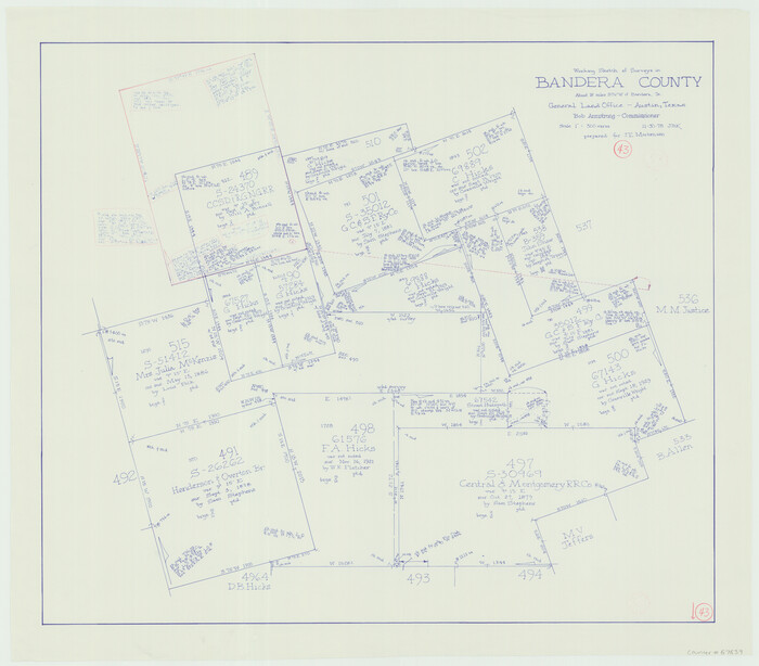
Bandera County Working Sketch 43

Print $20.00
- Digital $50.00
Bandera County Working Sketch 43
1978
Size 27.7 x 31.6 inches
Map/Doc 67639
![89940, [Texas State Capitol Land], Twichell Survey Records](https://historictexasmaps.com/wmedia_w1800h1800/maps/89940-1.tif.jpg)
