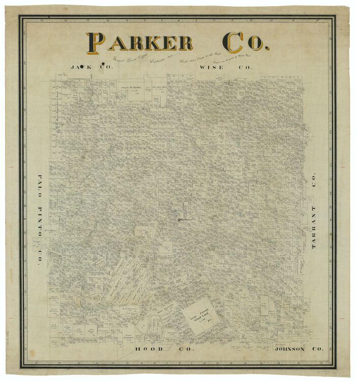
Gaines County Rolled Sketch 14
Exhibit K - Robert Violette, MA-34719, Gaines County, Texas
-
Map/Doc
9030
-
Collection
General Map Collection
-
People and Organizations
Sylvan Sanders (Surveyor/Engineer)
-
Counties
Gaines
-
Subjects
Surveying Rolled Sketch
-
Height x Width
23.8 x 325.9 inches
60.5 x 827.8 cm
Part of: General Map Collection
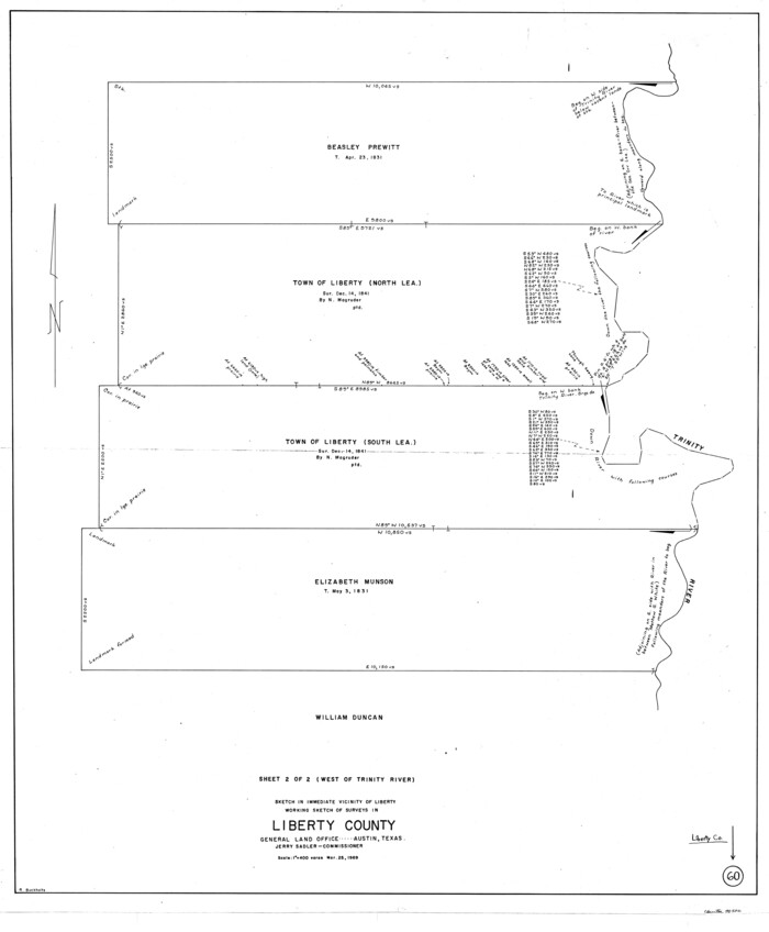
Liberty County Working Sketch 60

Print $20.00
- Digital $50.00
Liberty County Working Sketch 60
1969
Size 41.3 x 34.1 inches
Map/Doc 70520
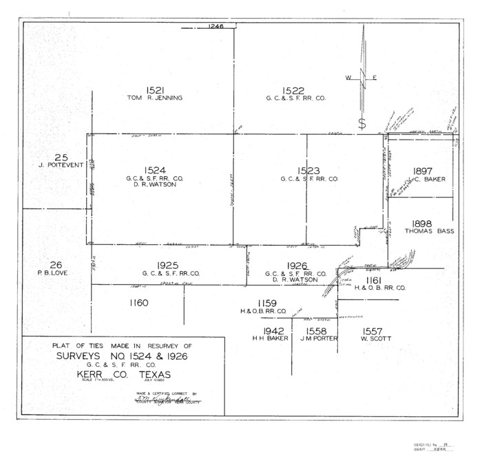
Kerr County Sketch File 19

Print $20.00
- Digital $50.00
Kerr County Sketch File 19
1950
Size 22.8 x 23.9 inches
Map/Doc 11922
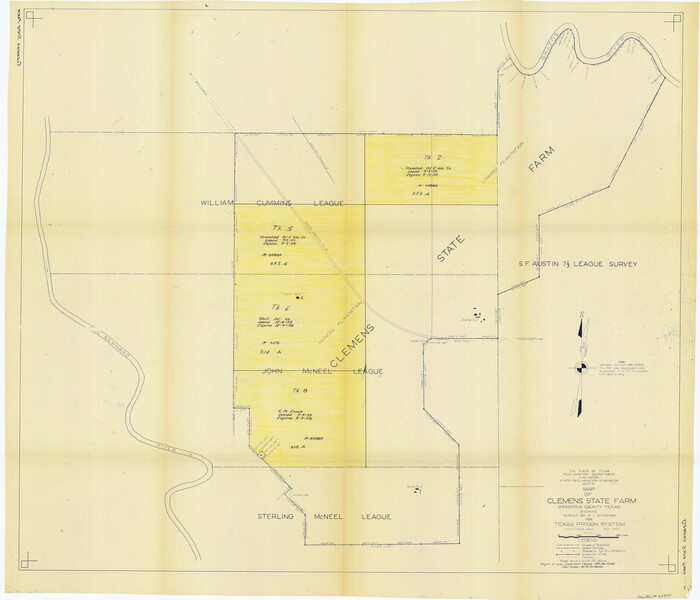
Maps & Lists Showing Prison Lands (Oil & Gas) Leased as of June 1955

Digital $50.00
Maps & Lists Showing Prison Lands (Oil & Gas) Leased as of June 1955
1934
Size 30.2 x 35.2 inches
Map/Doc 62877
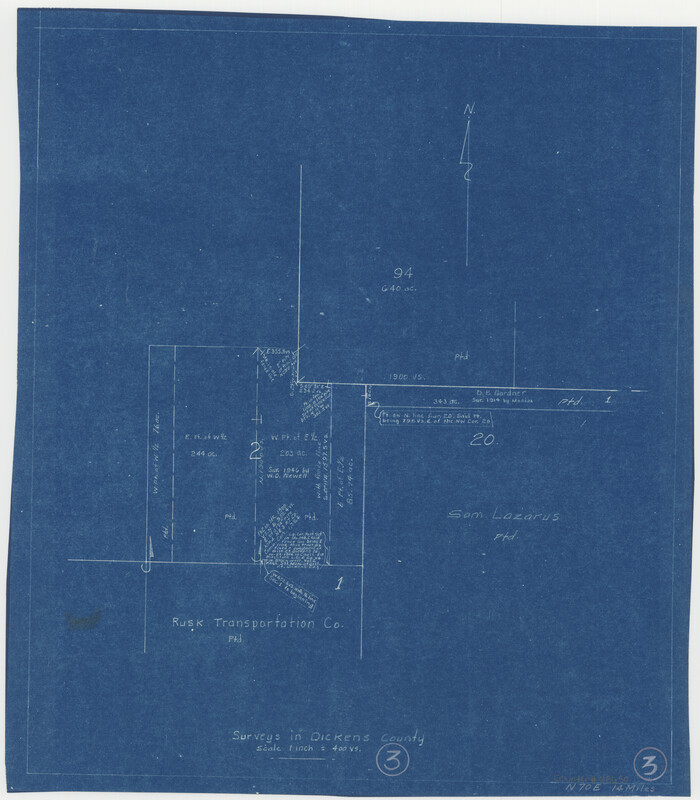
Dickens County Working Sketch 3

Print $20.00
- Digital $50.00
Dickens County Working Sketch 3
Size 17.5 x 15.3 inches
Map/Doc 68650
Glasscock County Working Sketch 12


Print $40.00
- Digital $50.00
Glasscock County Working Sketch 12
1971
Size 51.2 x 39.0 inches
Map/Doc 63185
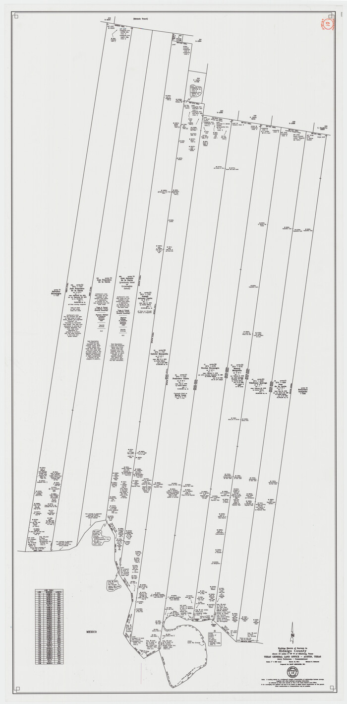
Hidalgo County Working Sketch 10

Print $40.00
- Digital $50.00
Hidalgo County Working Sketch 10
2011
Size 59.9 x 29.5 inches
Map/Doc 89998
Parker County Sketch File 10


Print $40.00
- Digital $50.00
Parker County Sketch File 10
Size 43.5 x 37.8 inches
Map/Doc 10567
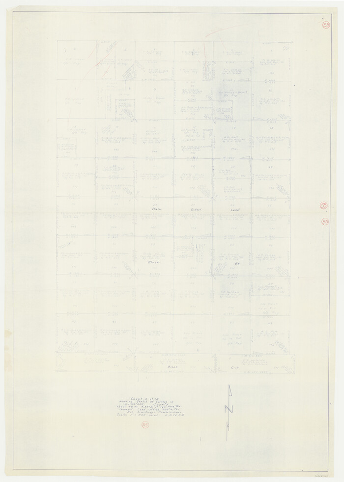
Culberson County Working Sketch 55

Print $20.00
- Digital $50.00
Culberson County Working Sketch 55
1974
Size 47.1 x 33.7 inches
Map/Doc 68509
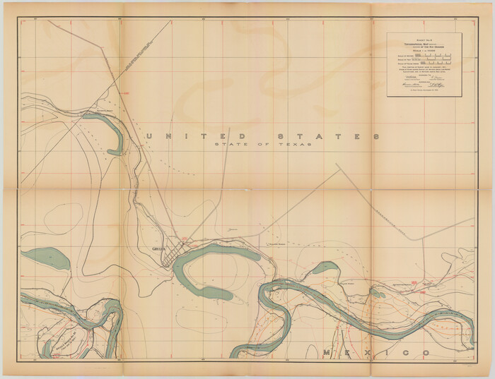
Topographical Map of the Rio Grande, Sheet No. 6

Print $20.00
- Digital $50.00
Topographical Map of the Rio Grande, Sheet No. 6
1912
Map/Doc 89530
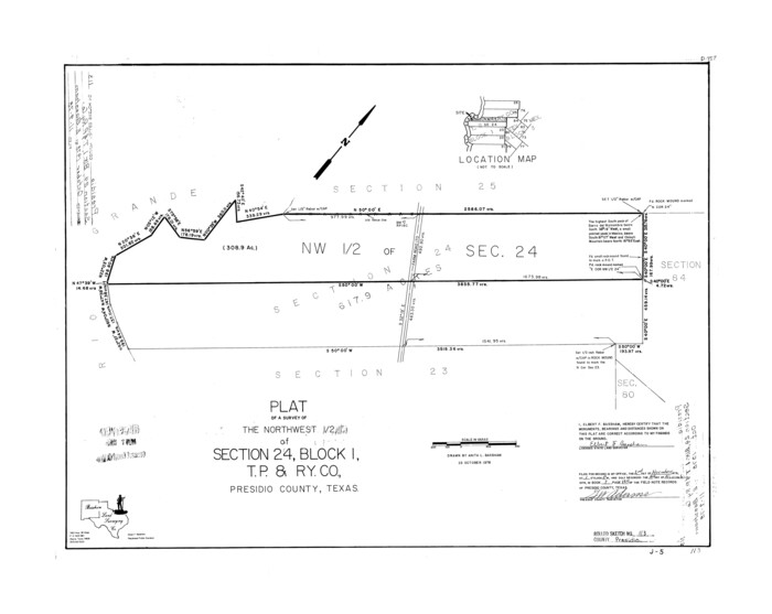
Presidio County Rolled Sketch 113

Print $20.00
- Digital $50.00
Presidio County Rolled Sketch 113
1978
Size 22.2 x 27.8 inches
Map/Doc 7389
Castro County Rolled Sketch 10


Print $20.00
- Digital $50.00
Castro County Rolled Sketch 10
1908
Size 30.6 x 8.9 inches
Map/Doc 5419
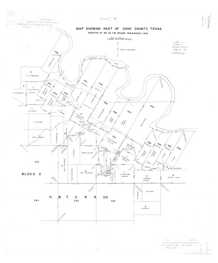
Coke County Rolled Sketch 4

Print $20.00
- Digital $50.00
Coke County Rolled Sketch 4
Size 44.6 x 37.0 inches
Map/Doc 8624
You may also like
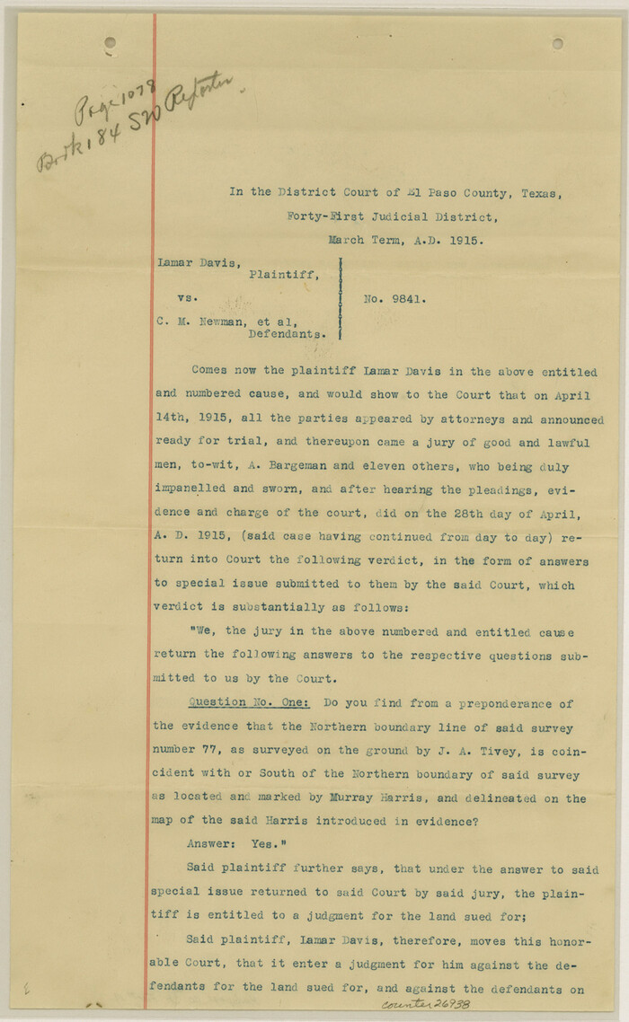
Hudspeth County Sketch File 14

Print $12.00
- Digital $50.00
Hudspeth County Sketch File 14
1915
Size 14.3 x 8.8 inches
Map/Doc 26938
From Citizens of Colorado and Matagorda Counties for the Creation of a New County (Unnamed), August 6, 1840


Print $20.00
From Citizens of Colorado and Matagorda Counties for the Creation of a New County (Unnamed), August 6, 1840
2020
Size 18.5 x 21.7 inches
Map/Doc 96389
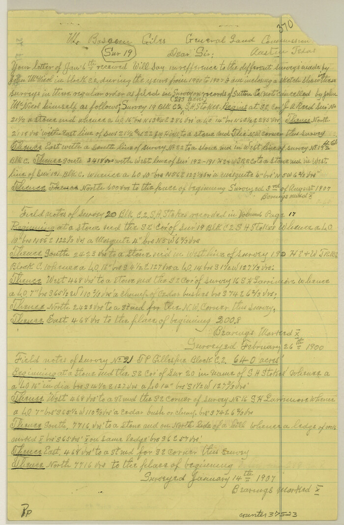
Sutton County Sketch File 49

Print $6.00
- Digital $50.00
Sutton County Sketch File 49
Size 13.6 x 8.9 inches
Map/Doc 37523
Map of Houston, Texas


Print $20.00
- Digital $50.00
Map of Houston, Texas
1890
Size 10.3 x 7.1 inches
Map/Doc 94064
No. 3 Chart of Channel connecting Corpus Christi Bay with Aransas Bay, Texas
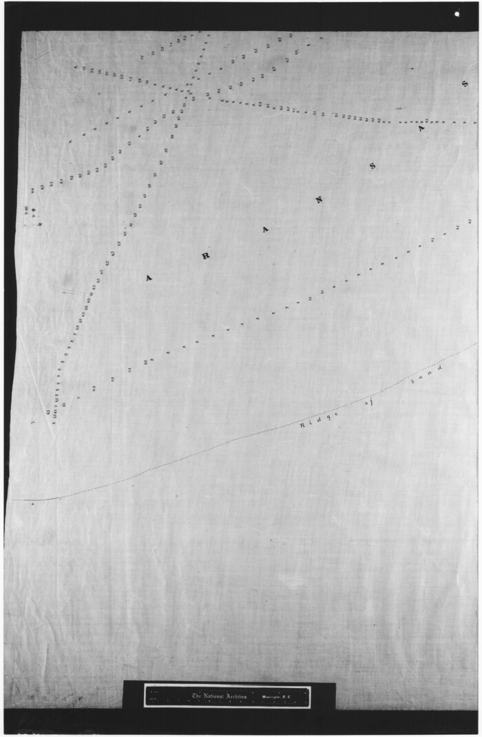

Print $20.00
- Digital $50.00
No. 3 Chart of Channel connecting Corpus Christi Bay with Aransas Bay, Texas
1878
Size 27.8 x 18.2 inches
Map/Doc 72778
Wharton County Sketch File A4


Print $11.00
- Digital $50.00
Wharton County Sketch File A4
1904
Size 11.0 x 8.4 inches
Map/Doc 39981
Presidio County Working Sketch 73
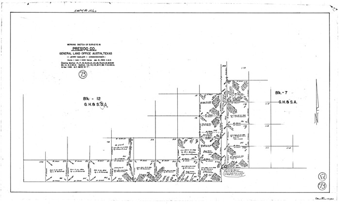

Print $20.00
- Digital $50.00
Presidio County Working Sketch 73
1962
Size 17.7 x 29.4 inches
Map/Doc 71750
Rio Grande Rectification Project, El Paso and Juarez Valley

Print $20.00
- Digital $50.00
Rio Grande Rectification Project, El Paso and Juarez Valley
1935
Size 10.9 x 29.6 inches
Map/Doc 60868
The Republic County of Fayette. May 24, 1838
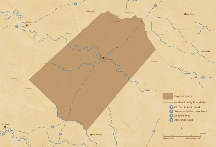

Print $20.00
The Republic County of Fayette. May 24, 1838
2020
Size 14.7 x 21.7 inches
Map/Doc 96133
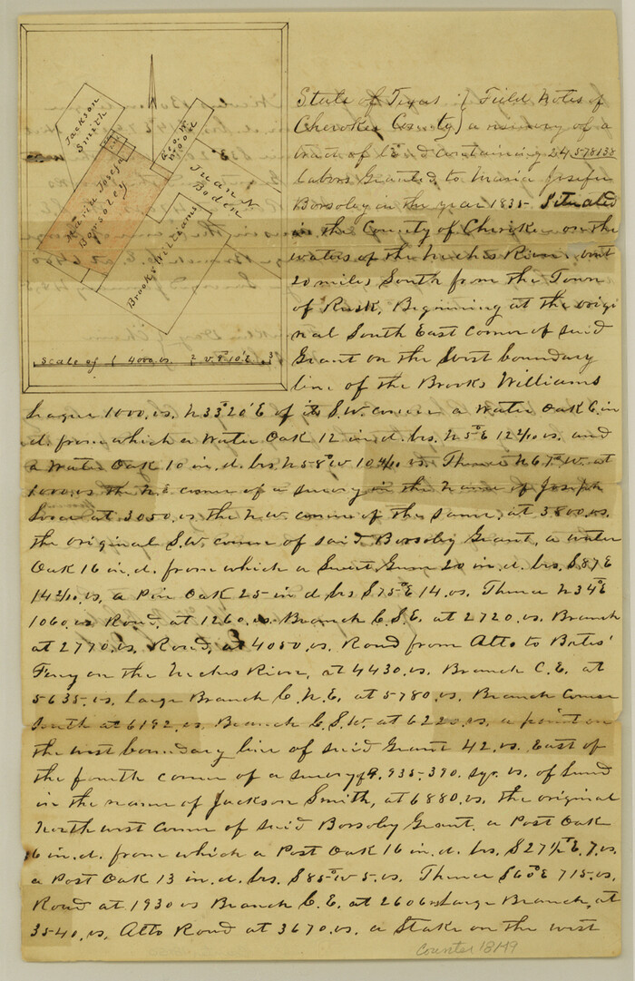
Cherokee County Sketch File 15

Print $6.00
- Digital $50.00
Cherokee County Sketch File 15
Size 12.4 x 8.0 inches
Map/Doc 18149
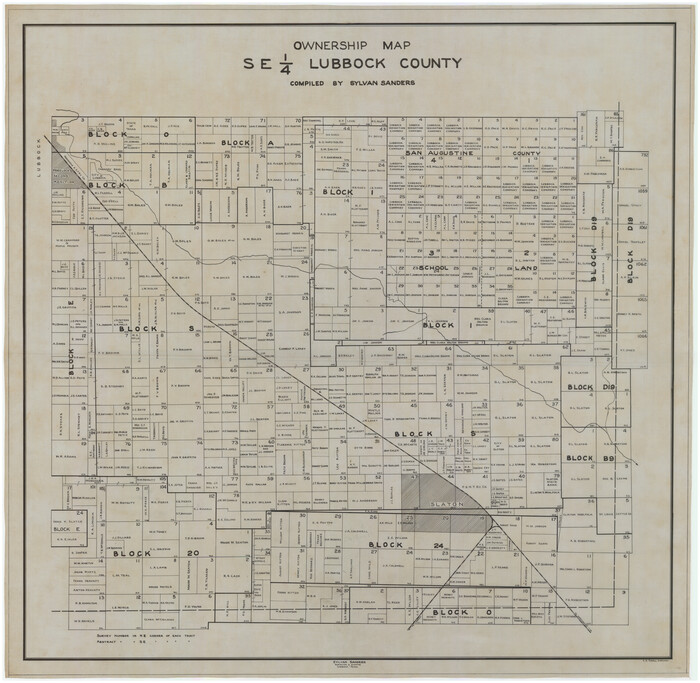
Ownership Map SE 1/4 Lubbock County

Print $20.00
- Digital $50.00
Ownership Map SE 1/4 Lubbock County
Size 37.2 x 36.4 inches
Map/Doc 89895

