[Blocks B-27, B-28, B-29, B-19]
52-9
-
Map/Doc
90465
-
Collection
Twichell Survey Records
-
Counties
Crane
-
Height x Width
31.4 x 22.2 inches
79.8 x 56.4 cm
Part of: Twichell Survey Records
[Blocks S and M19 Resurvey]
![91440, [Blocks S and M19 Resurvey], Twichell Survey Records](https://historictexasmaps.com/wmedia_w700/maps/91440-1.tif.jpg)
![91440, [Blocks S and M19 Resurvey], Twichell Survey Records](https://historictexasmaps.com/wmedia_w700/maps/91440-1.tif.jpg)
Print $20.00
- Digital $50.00
[Blocks S and M19 Resurvey]
1903
Size 37.0 x 30.0 inches
Map/Doc 91440
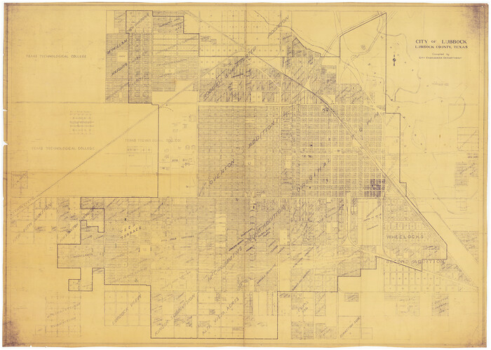
City of Lubbock, Lubbock County, Texas

Print $40.00
- Digital $50.00
City of Lubbock, Lubbock County, Texas
1946
Size 54.3 x 39.1 inches
Map/Doc 89902
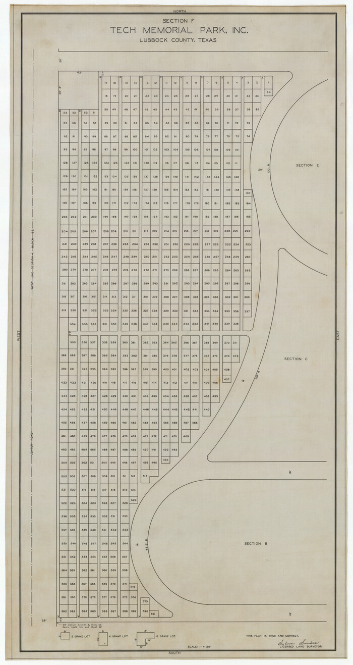
Section F Tech Memorial Park, Inc.

Print $20.00
- Digital $50.00
Section F Tech Memorial Park, Inc.
Size 18.4 x 34.8 inches
Map/Doc 92358
M. C. Lindsey's Subdivision of Block 20 College Addition to Lamesa, Texas


Print $20.00
- Digital $50.00
M. C. Lindsey's Subdivision of Block 20 College Addition to Lamesa, Texas
1953
Size 9.6 x 18.2 inches
Map/Doc 92589
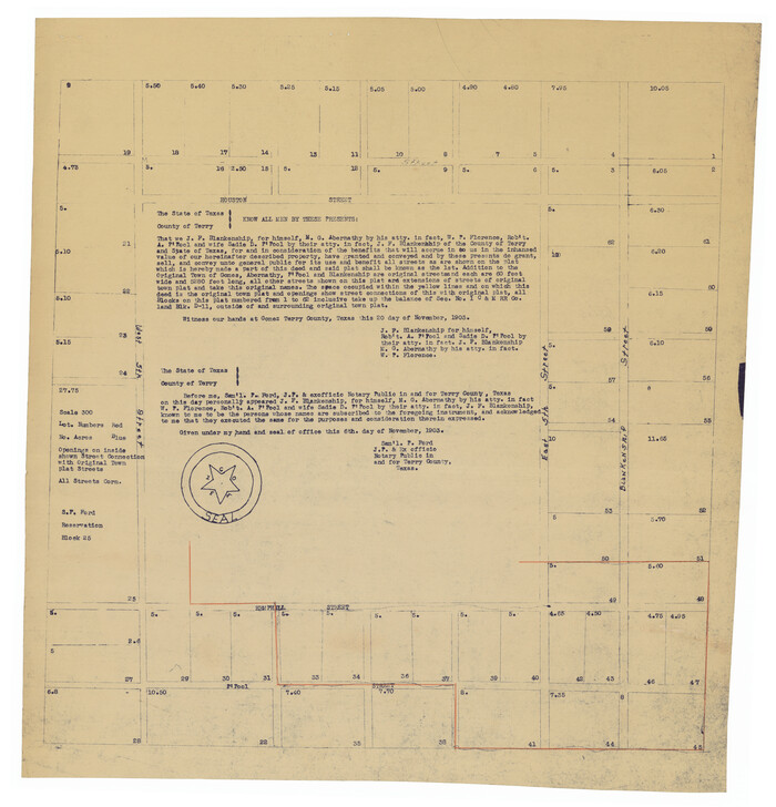
Willie Winn Tract

Print $20.00
- Digital $50.00
Willie Winn Tract
1903
Size 13.2 x 14.1 inches
Map/Doc 92286
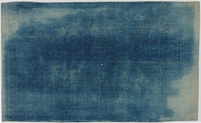
Map Showing Corrections for Capitol Leagues in Conflict in Oldham Co.

Print $40.00
- Digital $50.00
Map Showing Corrections for Capitol Leagues in Conflict in Oldham Co.
Size 53.0 x 32.4 inches
Map/Doc 89798
[Northwest Part of GLO Crockett County Map]
![91569, [Northwest Part of GLO Crockett County Map], Twichell Survey Records](https://historictexasmaps.com/wmedia_w700/maps/91569-1.tif.jpg)
![91569, [Northwest Part of GLO Crockett County Map], Twichell Survey Records](https://historictexasmaps.com/wmedia_w700/maps/91569-1.tif.jpg)
Print $20.00
- Digital $50.00
[Northwest Part of GLO Crockett County Map]
Size 14.0 x 19.1 inches
Map/Doc 91569
[T. & P. Blocks 43-44, Townships 1S, 2S and 1N]
![90830, [T. & P. Blocks 43-44, Townships 1S, 2S and 1N], Twichell Survey Records](https://historictexasmaps.com/wmedia_w700/maps/90830-2.tif.jpg)
![90830, [T. & P. Blocks 43-44, Townships 1S, 2S and 1N], Twichell Survey Records](https://historictexasmaps.com/wmedia_w700/maps/90830-2.tif.jpg)
Print $20.00
- Digital $50.00
[T. & P. Blocks 43-44, Townships 1S, 2S and 1N]
Size 18.8 x 22.6 inches
Map/Doc 90830
Sketch in Crockett County, Texas
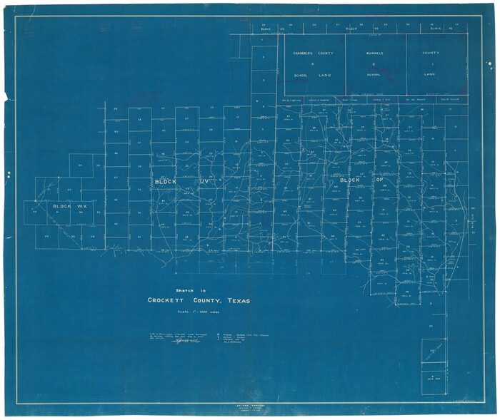

Print $20.00
- Digital $50.00
Sketch in Crockett County, Texas
Size 27.8 x 23.4 inches
Map/Doc 90474
[Block 6T, Portions of Blocks 44, 2T, and 3T, and vicinity]
![91526, [Block 6T, Portions of Blocks 44, 2T, and 3T, and vicinity], Twichell Survey Records](https://historictexasmaps.com/wmedia_w700/maps/91526-1.tif.jpg)
![91526, [Block 6T, Portions of Blocks 44, 2T, and 3T, and vicinity], Twichell Survey Records](https://historictexasmaps.com/wmedia_w700/maps/91526-1.tif.jpg)
Print $20.00
- Digital $50.00
[Block 6T, Portions of Blocks 44, 2T, and 3T, and vicinity]
Size 14.2 x 15.9 inches
Map/Doc 91526
[Blocks B-19, B-29, 34 and 5]
![91846, [Blocks B-19, B-29, 34 and 5], Twichell Survey Records](https://historictexasmaps.com/wmedia_w700/maps/91846-1.tif.jpg)
![91846, [Blocks B-19, B-29, 34 and 5], Twichell Survey Records](https://historictexasmaps.com/wmedia_w700/maps/91846-1.tif.jpg)
Print $20.00
- Digital $50.00
[Blocks B-19, B-29, 34 and 5]
1902
Size 12.2 x 16.4 inches
Map/Doc 91846
F. Z. Bishop's Subdivision of C. C. Slaughter Ranch


Print $20.00
- Digital $50.00
F. Z. Bishop's Subdivision of C. C. Slaughter Ranch
Size 20.6 x 19.2 inches
Map/Doc 92305
You may also like
Cooke County Working Sketch 27
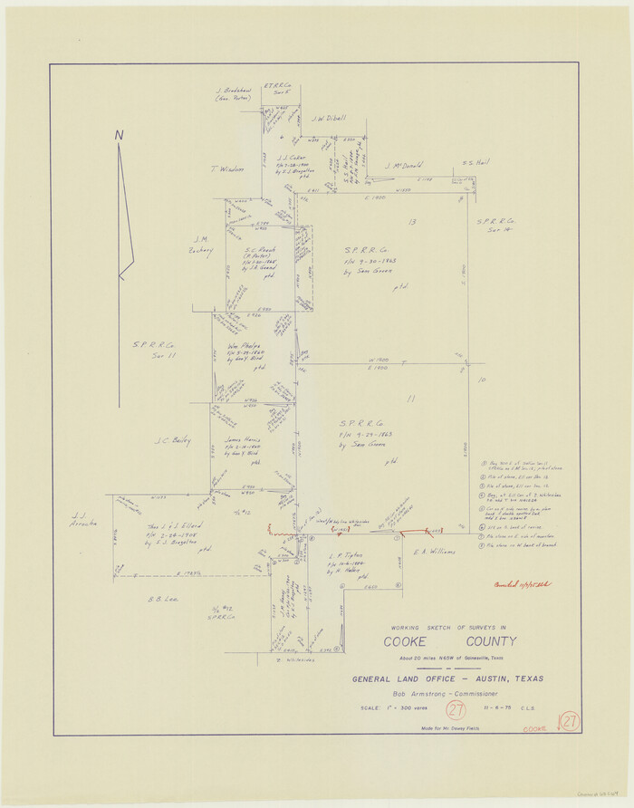

Print $20.00
- Digital $50.00
Cooke County Working Sketch 27
1975
Size 29.7 x 23.3 inches
Map/Doc 68264
Carson County Boundary File 9


Print $74.00
- Digital $50.00
Carson County Boundary File 9
Size 9.0 x 8.9 inches
Map/Doc 51175
Flight Mission No. DIX-10P, Frame 62, Aransas County


Print $20.00
- Digital $50.00
Flight Mission No. DIX-10P, Frame 62, Aransas County
1956
Size 18.8 x 22.4 inches
Map/Doc 83923
Brazoria County Rolled Sketch 50A
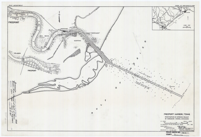

Print $20.00
- Digital $50.00
Brazoria County Rolled Sketch 50A
1932
Size 17.8 x 26.1 inches
Map/Doc 5188
Map of Menard County
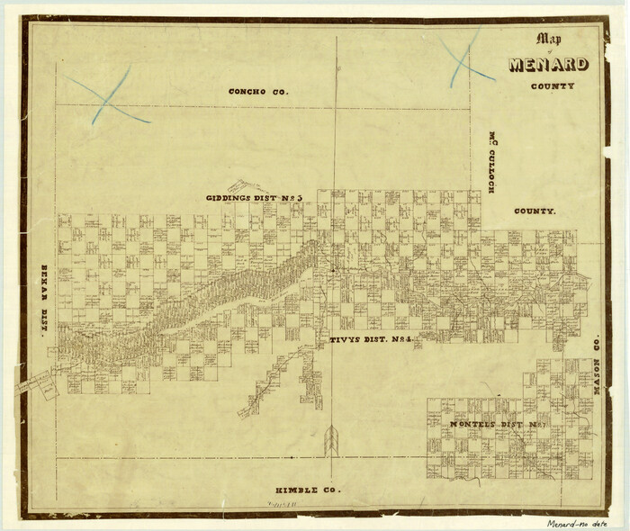

Print $20.00
- Digital $50.00
Map of Menard County
1871
Size 18.2 x 21.6 inches
Map/Doc 3873
Val Verde County Sketch File 19a
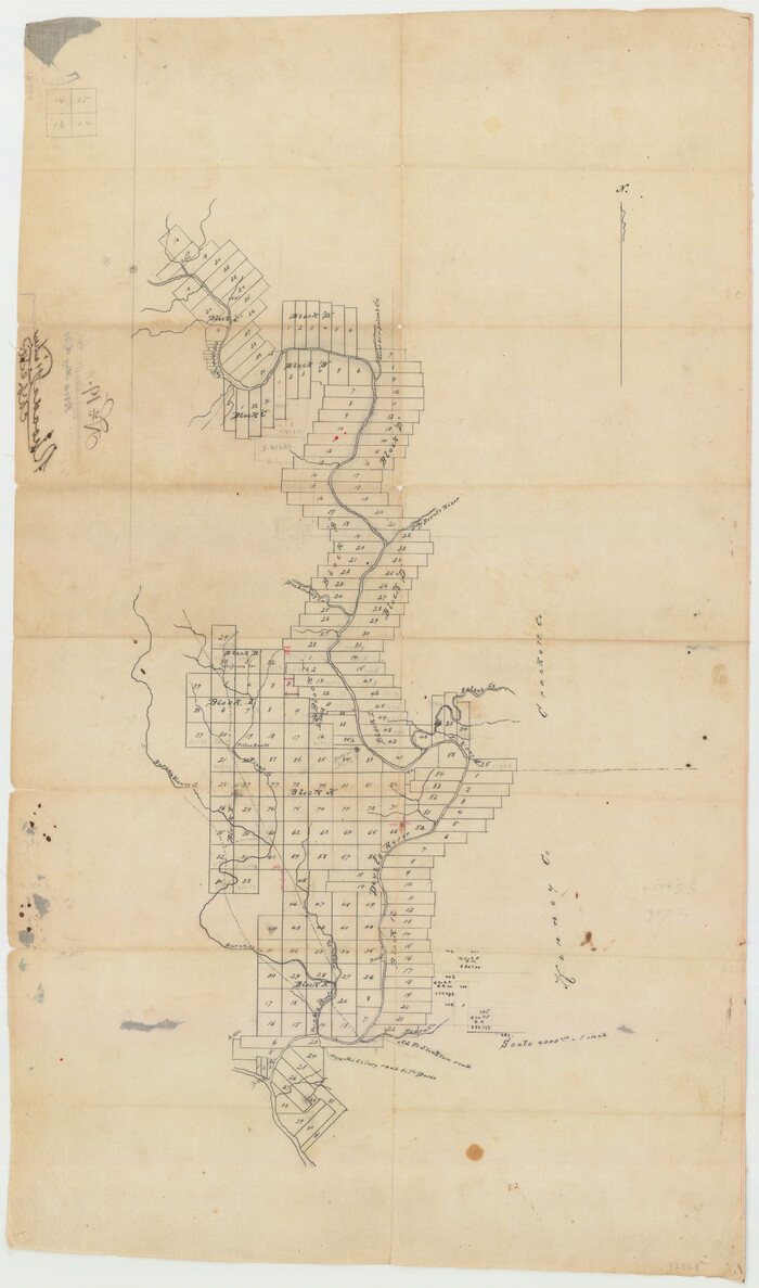

Print $42.00
- Digital $50.00
Val Verde County Sketch File 19a
Size 29.4 x 15.1 inches
Map/Doc 12568
El Paso County Rolled Sketch 52
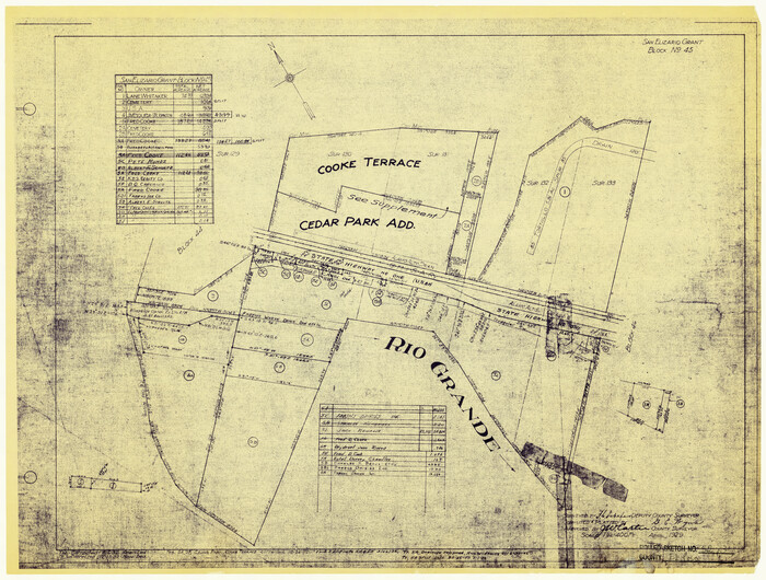

Print $20.00
- Digital $50.00
El Paso County Rolled Sketch 52
1929
Size 18.4 x 24.3 inches
Map/Doc 5839
Harris County Boundary File 3
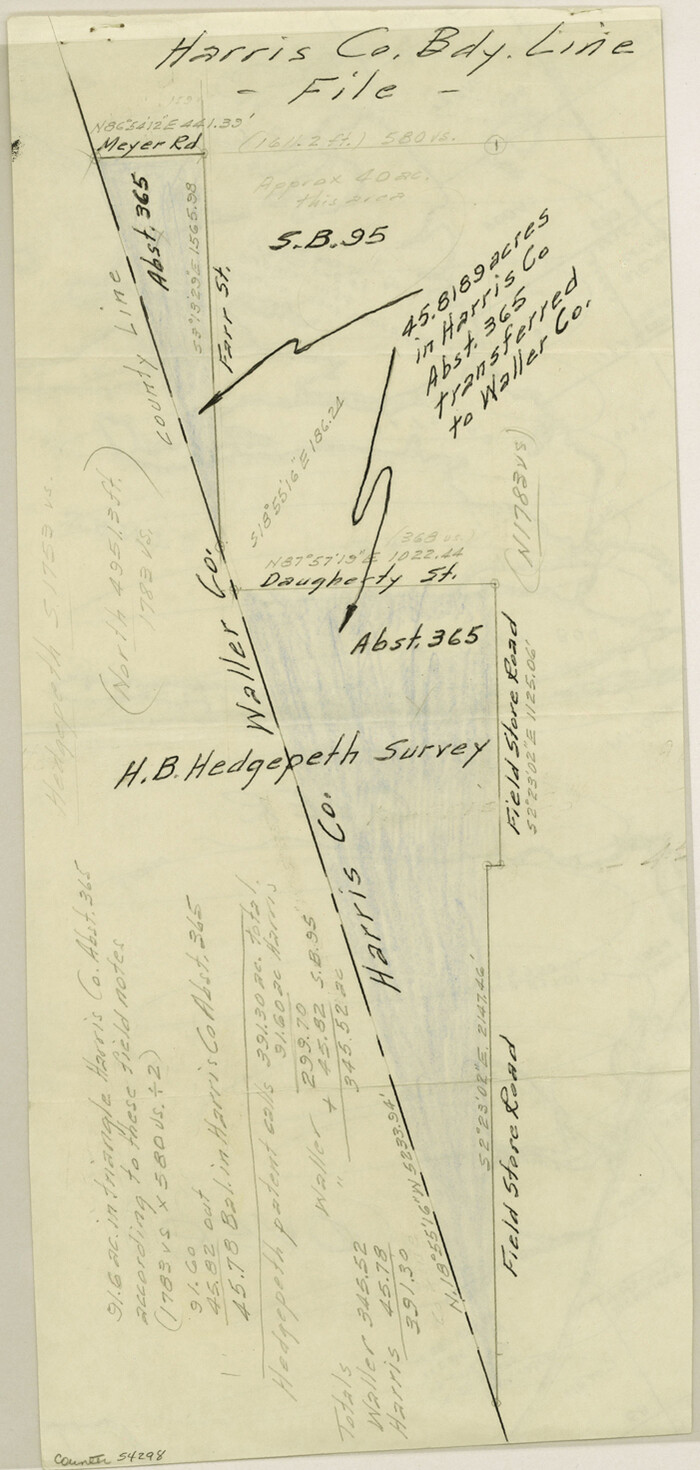

Print $16.00
- Digital $50.00
Harris County Boundary File 3
Size 14.7 x 7.0 inches
Map/Doc 54298
The Republic County of Gonzales. May 3, 1838


Print $20.00
The Republic County of Gonzales. May 3, 1838
2020
Size 14.7 x 21.7 inches
Map/Doc 96155
Dallas County Rolled Sketch 6


Print $20.00
- Digital $50.00
Dallas County Rolled Sketch 6
1983
Size 31.7 x 37.5 inches
Map/Doc 8769
Terrell County Working Sketch 78
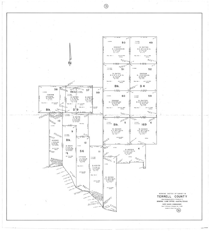

Print $20.00
- Digital $50.00
Terrell County Working Sketch 78
1983
Size 41.0 x 37.2 inches
Map/Doc 69599
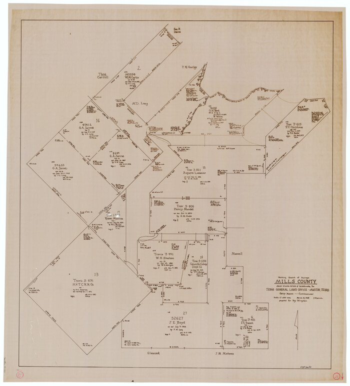
Mills County Working Sketch 24

Print $20.00
- Digital $50.00
Mills County Working Sketch 24
1988
Size 40.3 x 36.5 inches
Map/Doc 71054
![90465, [Blocks B-27, B-28, B-29, B-19], Twichell Survey Records](https://historictexasmaps.com/wmedia_w1800h1800/maps/90465-1.tif.jpg)