[Blocks S and M19 Resurvey]
180-27
-
Map/Doc
91440
-
Collection
Twichell Survey Records
-
Object Dates
3/24/1903 (Creation Date)
-
People and Organizations
W.D. Twichell (Surveyor/Engineer)
-
Counties
Oldham
-
Height x Width
37.0 x 30.0 inches
94.0 x 76.2 cm
Part of: Twichell Survey Records
[Pencil sketch of Wm. Rivers survey]
![91969, [Pencil sketch of Wm. Rivers survey], Twichell Survey Records](https://historictexasmaps.com/wmedia_w700/maps/91969-1.tif.jpg)
![91969, [Pencil sketch of Wm. Rivers survey], Twichell Survey Records](https://historictexasmaps.com/wmedia_w700/maps/91969-1.tif.jpg)
Print $3.00
- Digital $50.00
[Pencil sketch of Wm. Rivers survey]
Size 9.9 x 16.1 inches
Map/Doc 91969
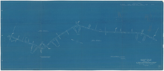
Right-of-way & Track Map Dawson Railway Operated by the El Paso & Southwestern Company Station 1233+41 to Station 1444+61.7

Print $40.00
- Digital $50.00
Right-of-way & Track Map Dawson Railway Operated by the El Paso & Southwestern Company Station 1233+41 to Station 1444+61.7
1910
Size 56.8 x 24.6 inches
Map/Doc 89653
[J. Blackwell survey 150, E. Parker, Asa Dorsett survey 827 and surrounding surveys]
![90422, [J. Blackwell survey 150, E. Parker, Asa Dorsett survey 827 and surrounding surveys], Twichell Survey Records](https://historictexasmaps.com/wmedia_w700/maps/90422-1.tif.jpg)
![90422, [J. Blackwell survey 150, E. Parker, Asa Dorsett survey 827 and surrounding surveys], Twichell Survey Records](https://historictexasmaps.com/wmedia_w700/maps/90422-1.tif.jpg)
Print $20.00
- Digital $50.00
[J. Blackwell survey 150, E. Parker, Asa Dorsett survey 827 and surrounding surveys]
Size 35.0 x 30.3 inches
Map/Doc 90422
[Panhandle Counties]
![90796, [Panhandle Counties], Twichell Survey Records](https://historictexasmaps.com/wmedia_w700/maps/90796-1.tif.jpg)
![90796, [Panhandle Counties], Twichell Survey Records](https://historictexasmaps.com/wmedia_w700/maps/90796-1.tif.jpg)
Print $20.00
- Digital $50.00
[Panhandle Counties]
1908
Size 18.4 x 14.8 inches
Map/Doc 90796
[East Line of Lipscomb County]
![91306, [East Line of Lipscomb County], Twichell Survey Records](https://historictexasmaps.com/wmedia_w700/maps/91306-1.tif.jpg)
![91306, [East Line of Lipscomb County], Twichell Survey Records](https://historictexasmaps.com/wmedia_w700/maps/91306-1.tif.jpg)
Print $20.00
- Digital $50.00
[East Line of Lipscomb County]
Size 8.9 x 27.2 inches
Map/Doc 91306
G. P. Co. Survey of A. C. Daws Tr. Lease No. 6453


Print $20.00
- Digital $50.00
G. P. Co. Survey of A. C. Daws Tr. Lease No. 6453
1920
Size 18.9 x 27.9 inches
Map/Doc 92022
[Blocks S1, O6, D10, A4]
![90702, [Blocks S1, O6, D10, A4], Twichell Survey Records](https://historictexasmaps.com/wmedia_w700/maps/90702-1.tif.jpg)
![90702, [Blocks S1, O6, D10, A4], Twichell Survey Records](https://historictexasmaps.com/wmedia_w700/maps/90702-1.tif.jpg)
Print $20.00
- Digital $50.00
[Blocks S1, O6, D10, A4]
Size 36.5 x 28.9 inches
Map/Doc 90702
[Wilson Strickland Survey]
![91378, [Wilson Strickland Survey], Twichell Survey Records](https://historictexasmaps.com/wmedia_w700/maps/91378-1.tif.jpg)
![91378, [Wilson Strickland Survey], Twichell Survey Records](https://historictexasmaps.com/wmedia_w700/maps/91378-1.tif.jpg)
Print $20.00
- Digital $50.00
[Wilson Strickland Survey]
Size 39.7 x 29.2 inches
Map/Doc 91378
[Blocks 1 and H]
![90719, [Blocks 1 and H], Twichell Survey Records](https://historictexasmaps.com/wmedia_w700/maps/90719-1.tif.jpg)
![90719, [Blocks 1 and H], Twichell Survey Records](https://historictexasmaps.com/wmedia_w700/maps/90719-1.tif.jpg)
Print $20.00
- Digital $50.00
[Blocks 1 and H]
Size 27.1 x 21.6 inches
Map/Doc 90719
Plat of tract surveyed for S. W. Inglish


Print $20.00
- Digital $50.00
Plat of tract surveyed for S. W. Inglish
1920
Size 18.2 x 6.7 inches
Map/Doc 90822
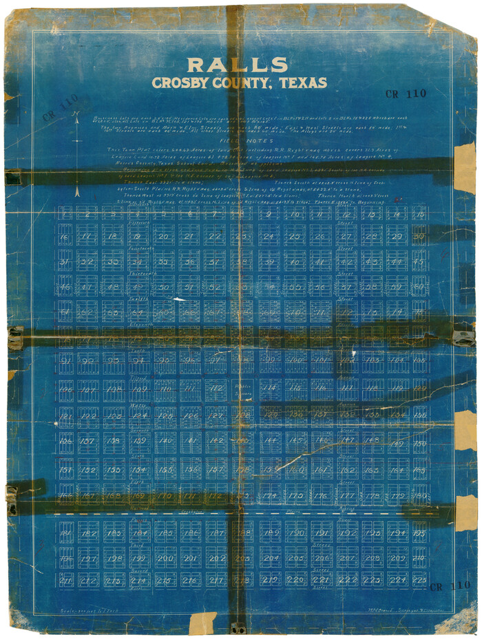
Ralls, Crosby County, Texas

Print $20.00
- Digital $50.00
Ralls, Crosby County, Texas
Size 22.5 x 29.8 inches
Map/Doc 92601
[Sketch showing Block 42, Sections 221 and 222 and Block H, Sections 7 and 9]
![91714, [Sketch showing Block 42, Sections 221 and 222 and Block H, Sections 7 and 9], Twichell Survey Records](https://historictexasmaps.com/wmedia_w700/maps/91714-1.tif.jpg)
![91714, [Sketch showing Block 42, Sections 221 and 222 and Block H, Sections 7 and 9], Twichell Survey Records](https://historictexasmaps.com/wmedia_w700/maps/91714-1.tif.jpg)
Print $2.00
- Digital $50.00
[Sketch showing Block 42, Sections 221 and 222 and Block H, Sections 7 and 9]
1919
Size 5.6 x 5.0 inches
Map/Doc 91714
You may also like
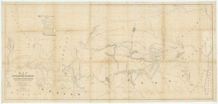
Map of the Country Between the Frontiers of Arkansas and New Mexico embracing the section explored in 1849, 51, and 52

Print $40.00
Map of the Country Between the Frontiers of Arkansas and New Mexico embracing the section explored in 1849, 51, and 52
1852
Size 29.6 x 62.1 inches
Map/Doc 76219
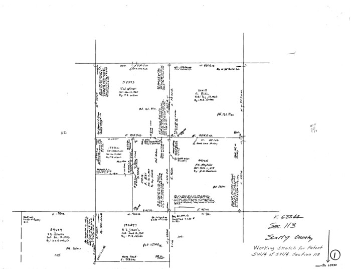
Scurry County Working Sketch 1

Print $20.00
- Digital $50.00
Scurry County Working Sketch 1
Size 17.9 x 22.7 inches
Map/Doc 63830
General Highway Map, Floyd County, Texas


Print $20.00
General Highway Map, Floyd County, Texas
1940
Size 25.1 x 18.7 inches
Map/Doc 79091
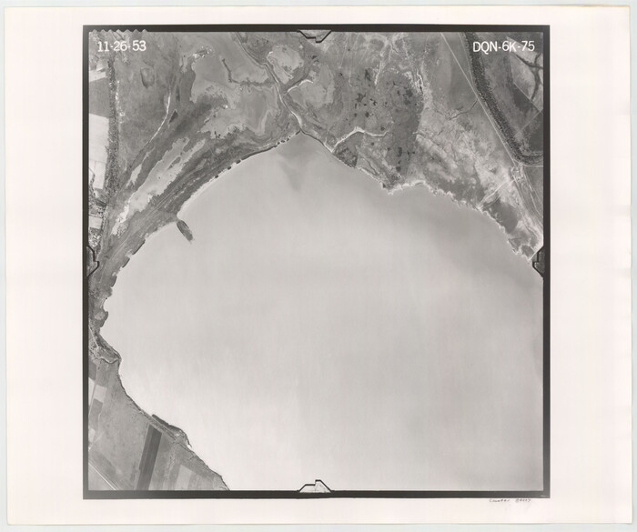
Flight Mission No. DQN-6K, Frame 75, Calhoun County

Print $20.00
- Digital $50.00
Flight Mission No. DQN-6K, Frame 75, Calhoun County
1953
Size 18.6 x 22.2 inches
Map/Doc 84447
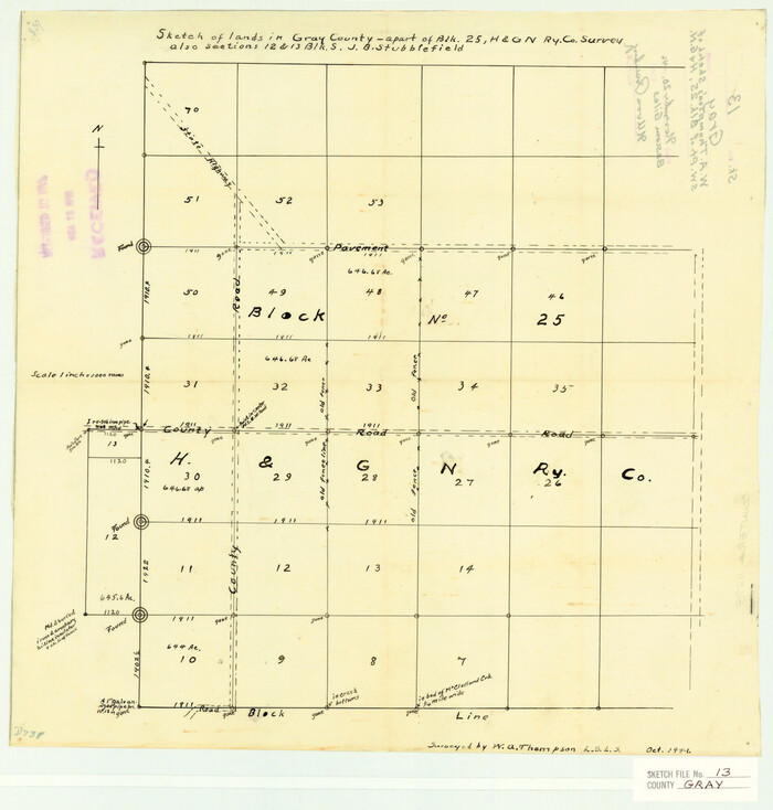
Gray County Sketch File 13

Print $20.00
- Digital $50.00
Gray County Sketch File 13
1946
Size 16.7 x 15.9 inches
Map/Doc 11578
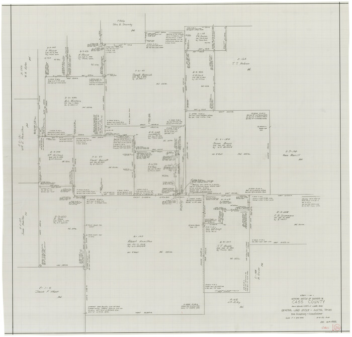
Cass County Working Sketch 36

Print $20.00
- Digital $50.00
Cass County Working Sketch 36
1982
Size 37.9 x 39.4 inches
Map/Doc 67939
[Texas and New Orleans Railroad Company, Block 2]
![92702, [Texas and New Orleans Railroad Company, Block 2], Twichell Survey Records](https://historictexasmaps.com/wmedia_w700/maps/92702-1.tif.jpg)
![92702, [Texas and New Orleans Railroad Company, Block 2], Twichell Survey Records](https://historictexasmaps.com/wmedia_w700/maps/92702-1.tif.jpg)
Print $20.00
- Digital $50.00
[Texas and New Orleans Railroad Company, Block 2]
1906
Size 21.1 x 14.4 inches
Map/Doc 92702
Erath County Sketch File A


Print $4.00
- Digital $50.00
Erath County Sketch File A
Size 8.6 x 11.0 inches
Map/Doc 22249
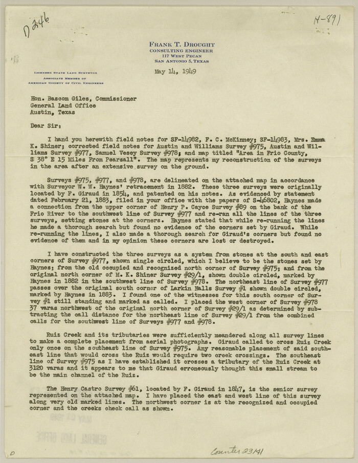
Frio County Sketch File 14

Print $8.00
- Digital $50.00
Frio County Sketch File 14
1949
Size 11.2 x 8.7 inches
Map/Doc 23141
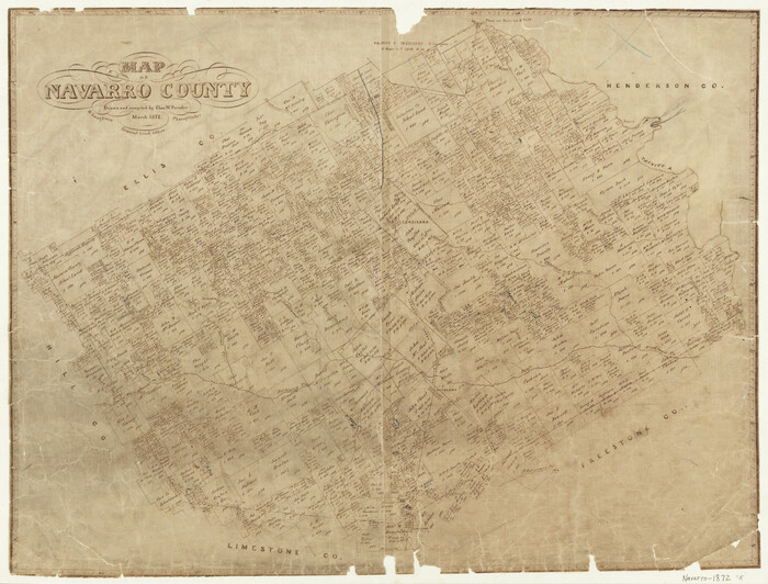
Map of Navarro County

Print $20.00
- Digital $50.00
Map of Navarro County
1872
Size 19.4 x 25.5 inches
Map/Doc 3910
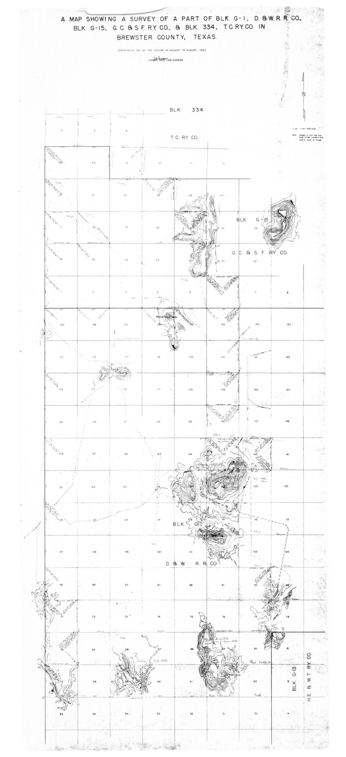
Brewster County Rolled Sketch 82A

Print $40.00
- Digital $50.00
Brewster County Rolled Sketch 82A
1952
Size 74.3 x 34.0 inches
Map/Doc 8498
![91440, [Blocks S and M19 Resurvey], Twichell Survey Records](https://historictexasmaps.com/wmedia_w1800h1800/maps/91440-1.tif.jpg)
