[Littlefield Subdivision Blocks 657-687]
140-33
-
Map/Doc
91009
-
Collection
Twichell Survey Records
-
Counties
Lamb
-
Height x Width
31.2 x 20.5 inches
79.3 x 52.1 cm
Part of: Twichell Survey Records
[Texas, New Mexico Clark's Monument #26]
![91309, [Texas, New Mexico Clark's Monument #26], Twichell Survey Records](https://historictexasmaps.com/wmedia_w700/maps/91309-1.tif.jpg)
![91309, [Texas, New Mexico Clark's Monument #26], Twichell Survey Records](https://historictexasmaps.com/wmedia_w700/maps/91309-1.tif.jpg)
Print $3.00
- Digital $50.00
[Texas, New Mexico Clark's Monument #26]
1941
Size 16.1 x 7.4 inches
Map/Doc 91309
[Sketch showing details along East line of Lipscomb County]
![89968, [Sketch showing details along East line of Lipscomb County], Twichell Survey Records](https://historictexasmaps.com/wmedia_w700/maps/89968-1.tif.jpg)
![89968, [Sketch showing details along East line of Lipscomb County], Twichell Survey Records](https://historictexasmaps.com/wmedia_w700/maps/89968-1.tif.jpg)
Print $40.00
- Digital $50.00
[Sketch showing details along East line of Lipscomb County]
Size 9.9 x 66.3 inches
Map/Doc 89968
Map of Spearman Lands


Print $20.00
- Digital $50.00
Map of Spearman Lands
Size 20.4 x 15.6 inches
Map/Doc 90834
[Blocks D and P]
![92490, [Blocks D and P], Twichell Survey Records](https://historictexasmaps.com/wmedia_w700/maps/92490-1.tif.jpg)
![92490, [Blocks D and P], Twichell Survey Records](https://historictexasmaps.com/wmedia_w700/maps/92490-1.tif.jpg)
Print $20.00
- Digital $50.00
[Blocks D and P]
Size 41.8 x 29.1 inches
Map/Doc 92490
Capitol Syndicate Subdivision of Capitol Land Reservation Leagues
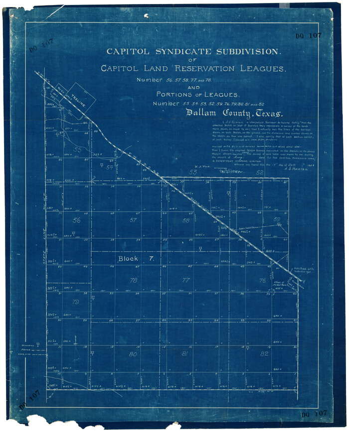

Print $20.00
- Digital $50.00
Capitol Syndicate Subdivision of Capitol Land Reservation Leagues
1908
Size 25.6 x 31.5 inches
Map/Doc 92584
[Capitol Leagues, Blocks 49 H. & T. C. RR. Company, Block LC2]
![90769, [Capitol Leagues, Blocks 49 H. & T. C. RR. Company, Block LC2], Twichell Survey Records](https://historictexasmaps.com/wmedia_w700/maps/90769-1.tif.jpg)
![90769, [Capitol Leagues, Blocks 49 H. & T. C. RR. Company, Block LC2], Twichell Survey Records](https://historictexasmaps.com/wmedia_w700/maps/90769-1.tif.jpg)
Print $20.00
- Digital $50.00
[Capitol Leagues, Blocks 49 H. & T. C. RR. Company, Block LC2]
1883
Size 39.2 x 24.8 inches
Map/Doc 90769
[Blocks J, 24, 5, 8, 2, 1 and vicinity]
![92663, [Blocks J, 24, 5, 8, 2, 1 and vicinity], Twichell Survey Records](https://historictexasmaps.com/wmedia_w700/maps/92663-1.tif.jpg)
![92663, [Blocks J, 24, 5, 8, 2, 1 and vicinity], Twichell Survey Records](https://historictexasmaps.com/wmedia_w700/maps/92663-1.tif.jpg)
Print $40.00
- Digital $50.00
[Blocks J, 24, 5, 8, 2, 1 and vicinity]
Size 54.0 x 32.2 inches
Map/Doc 92663
Mrs. R. L. Westerman Subdivision of 2 1/2 Acres out of North Half of Survey Number 1, Block Number 36, Township 5 North. Dawson County, Texas


Print $20.00
- Digital $50.00
Mrs. R. L. Westerman Subdivision of 2 1/2 Acres out of North Half of Survey Number 1, Block Number 36, Township 5 North. Dawson County, Texas
1924
Size 18.6 x 24.5 inches
Map/Doc 92591
[Block J and vicinity]
![91239, [Block J and vicinity], Twichell Survey Records](https://historictexasmaps.com/wmedia_w700/maps/91239-1.tif.jpg)
![91239, [Block J and vicinity], Twichell Survey Records](https://historictexasmaps.com/wmedia_w700/maps/91239-1.tif.jpg)
Print $20.00
- Digital $50.00
[Block J and vicinity]
Size 19.8 x 30.5 inches
Map/Doc 91239
[Sections 63-70 Block 47 and part of Block 3]
![91792, [Sections 63-70 Block 47 and part of Block 3], Twichell Survey Records](https://historictexasmaps.com/wmedia_w700/maps/91792-1.tif.jpg)
![91792, [Sections 63-70 Block 47 and part of Block 3], Twichell Survey Records](https://historictexasmaps.com/wmedia_w700/maps/91792-1.tif.jpg)
Print $2.00
- Digital $50.00
[Sections 63-70 Block 47 and part of Block 3]
Size 8.9 x 14.5 inches
Map/Doc 91792
[Sketch of part of county with G.H. & S.A. Blk. 3 on North, H. & T.C. Blk. 4 on West, T. & P. Blk. 1 on South, T. & S. Blks. 224 & 301 on East]
![89958, [Sketch of part of county with G.H. & S.A. Blk. 3 on North, H. & T.C. Blk. 4 on West, T. & P. Blk. 1 on South, T. & S. Blks. 224 & 301 on East], Twichell Survey Records](https://historictexasmaps.com/wmedia_w700/maps/89958-1.tif.jpg)
![89958, [Sketch of part of county with G.H. & S.A. Blk. 3 on North, H. & T.C. Blk. 4 on West, T. & P. Blk. 1 on South, T. & S. Blks. 224 & 301 on East], Twichell Survey Records](https://historictexasmaps.com/wmedia_w700/maps/89958-1.tif.jpg)
Print $40.00
- Digital $50.00
[Sketch of part of county with G.H. & S.A. Blk. 3 on North, H. & T.C. Blk. 4 on West, T. & P. Blk. 1 on South, T. & S. Blks. 224 & 301 on East]
Size 51.9 x 37.9 inches
Map/Doc 89958
Ellwood Farms Subdivision Number 2 of the Spade Ranch


Print $20.00
- Digital $50.00
Ellwood Farms Subdivision Number 2 of the Spade Ranch
Size 21.9 x 31.4 inches
Map/Doc 90986
You may also like
Flight Mission No. DCL-5C, Frame 51, Kenedy County
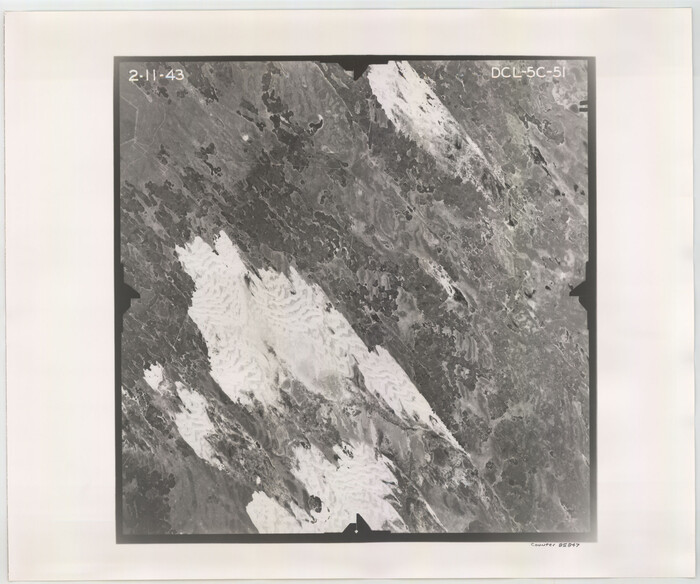

Print $20.00
- Digital $50.00
Flight Mission No. DCL-5C, Frame 51, Kenedy County
1943
Size 18.5 x 22.2 inches
Map/Doc 85847
Nueces County Rolled Sketch 46


Print $45.00
- Digital $50.00
Nueces County Rolled Sketch 46
Size 10.2 x 15.1 inches
Map/Doc 47859
Travis County State Real Property Sketch 18
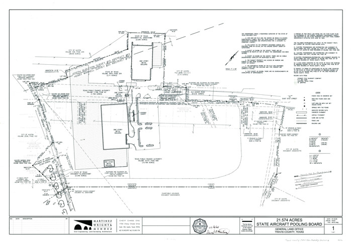

Print $20.00
Travis County State Real Property Sketch 18
2005
Size 24.4 x 35.2 inches
Map/Doc 96976
Presidio County Sketch File 62
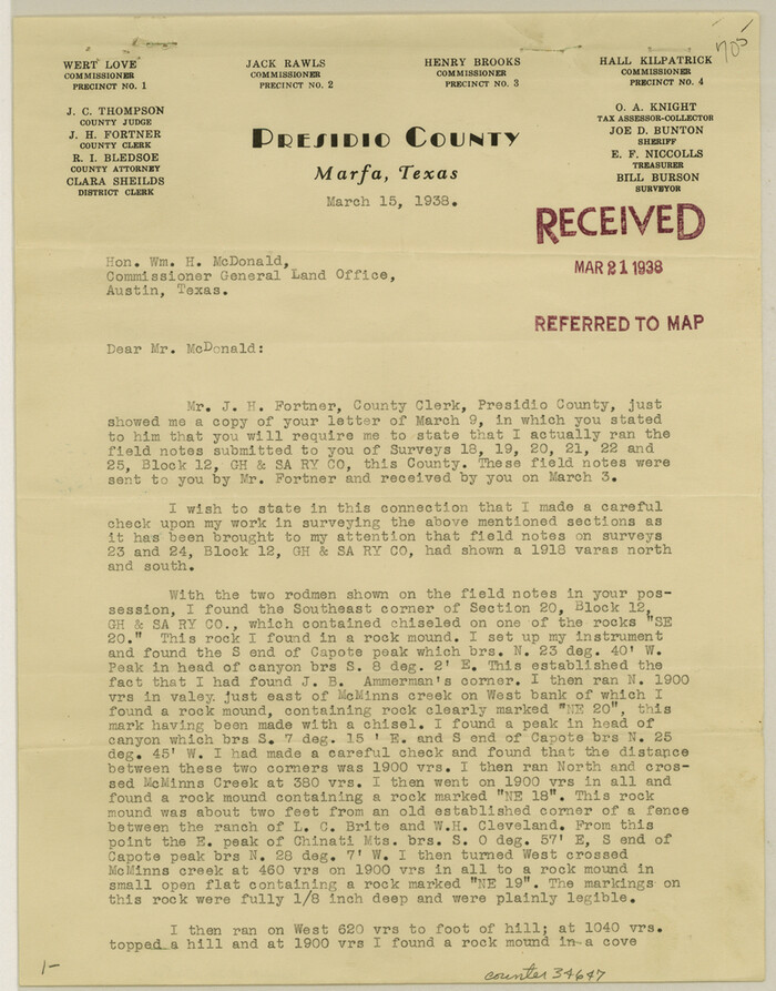

Print $10.00
- Digital $50.00
Presidio County Sketch File 62
1938
Size 11.2 x 8.8 inches
Map/Doc 34647
Ward County Working Sketch 24
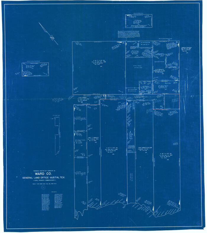

Print $20.00
- Digital $50.00
Ward County Working Sketch 24
1955
Size 41.7 x 37.0 inches
Map/Doc 72330
The Republic County of Robertson. Spring 1842


Print $20.00
The Republic County of Robertson. Spring 1842
2020
Size 16.9 x 21.7 inches
Map/Doc 96263
Refugio County Boundary File 1 (3)

Print $22.00
- Digital $50.00
Refugio County Boundary File 1 (3)
Size 10.4 x 27.5 inches
Map/Doc 58231
Hidalgo County Rolled Sketch 12


Print $20.00
- Digital $50.00
Hidalgo County Rolled Sketch 12
1908
Size 21.3 x 27.9 inches
Map/Doc 6211
Map of Lampasas County, Texas
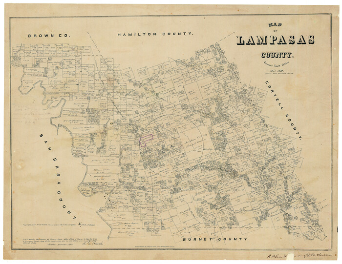

Print $20.00
- Digital $50.00
Map of Lampasas County, Texas
1879
Size 23.4 x 28.4 inches
Map/Doc 560
Culberson County Rolled Sketch 61
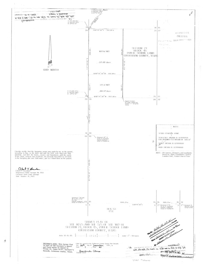

Print $20.00
- Digital $50.00
Culberson County Rolled Sketch 61
1985
Size 24.7 x 19.0 inches
Map/Doc 5677
Refugio County NRC Article 33.136 Sketch 1
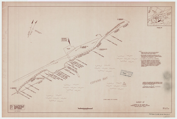

Print $44.00
- Digital $50.00
Refugio County NRC Article 33.136 Sketch 1
2002
Size 24.5 x 36.8 inches
Map/Doc 76399
Harrison County Sketch File 10
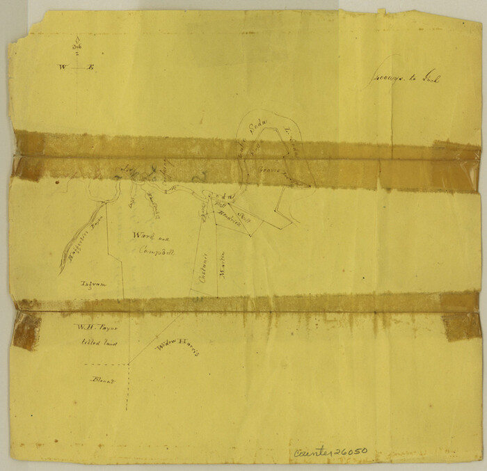

Print $4.00
- Digital $50.00
Harrison County Sketch File 10
Size 7.7 x 8.0 inches
Map/Doc 26050
![91009, [Littlefield Subdivision Blocks 657-687], Twichell Survey Records](https://historictexasmaps.com/wmedia_w1800h1800/maps/91009-1.tif.jpg)