[Jose Ostane and Surrounding Surveys]
147-7
-
Map/Doc
91083
-
Collection
Twichell Survey Records
-
Counties
Limestone
-
Height x Width
13.6 x 14.6 inches
34.5 x 37.1 cm
Part of: Twichell Survey Records
[H. & G. N. Block 8 showing Llano and Espuella fence lines]
![90374, [H. & G. N. Block 8 showing Llano and Espuella fence lines], Twichell Survey Records](https://historictexasmaps.com/wmedia_w700/maps/90374-1.tif.jpg)
![90374, [H. & G. N. Block 8 showing Llano and Espuella fence lines], Twichell Survey Records](https://historictexasmaps.com/wmedia_w700/maps/90374-1.tif.jpg)
Print $2.00
- Digital $50.00
[H. & G. N. Block 8 showing Llano and Espuella fence lines]
Size 6.2 x 9.7 inches
Map/Doc 90374
Ed Gordon Irrigated Farm NE Quarter Section 14, Block E
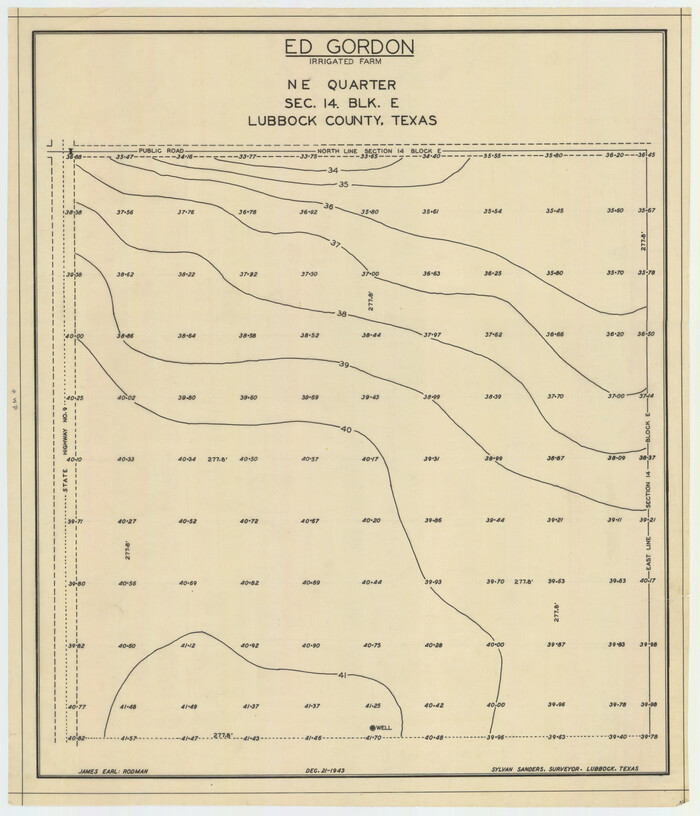

Print $20.00
- Digital $50.00
Ed Gordon Irrigated Farm NE Quarter Section 14, Block E
1943
Size 16.0 x 18.6 inches
Map/Doc 92325
Dawson County


Print $20.00
- Digital $50.00
Dawson County
1892
Size 19.7 x 24.7 inches
Map/Doc 90626
[Sketch of Survey 9, Block Z3]
![93093, [Sketch of Survey 9, Block Z3], Twichell Survey Records](https://historictexasmaps.com/wmedia_w700/maps/93093-1.tif.jpg)
![93093, [Sketch of Survey 9, Block Z3], Twichell Survey Records](https://historictexasmaps.com/wmedia_w700/maps/93093-1.tif.jpg)
Print $2.00
- Digital $50.00
[Sketch of Survey 9, Block Z3]
Size 7.6 x 6.6 inches
Map/Doc 93093
Working Sketch Compiled from Original Field Showing Surveys in Irion County Located by J. A. McDonald in 1856 and 1858
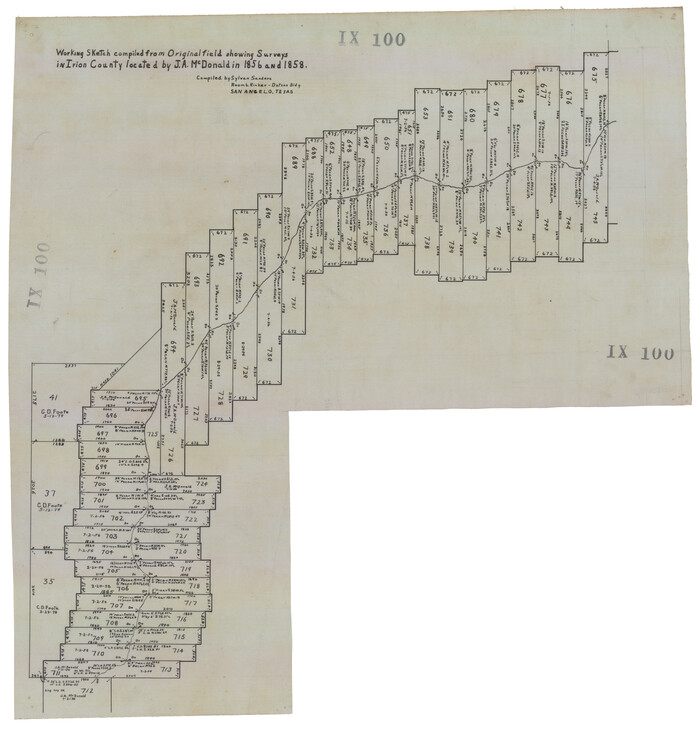

Print $20.00
- Digital $50.00
Working Sketch Compiled from Original Field Showing Surveys in Irion County Located by J. A. McDonald in 1856 and 1858
Size 13.1 x 13.8 inches
Map/Doc 92191
Nine Central Panhandle Counties, Texas


Print $20.00
- Digital $50.00
Nine Central Panhandle Counties, Texas
1899
Size 41.3 x 35.0 inches
Map/Doc 93045
Working Sketch from Crosby and Garza Cos.
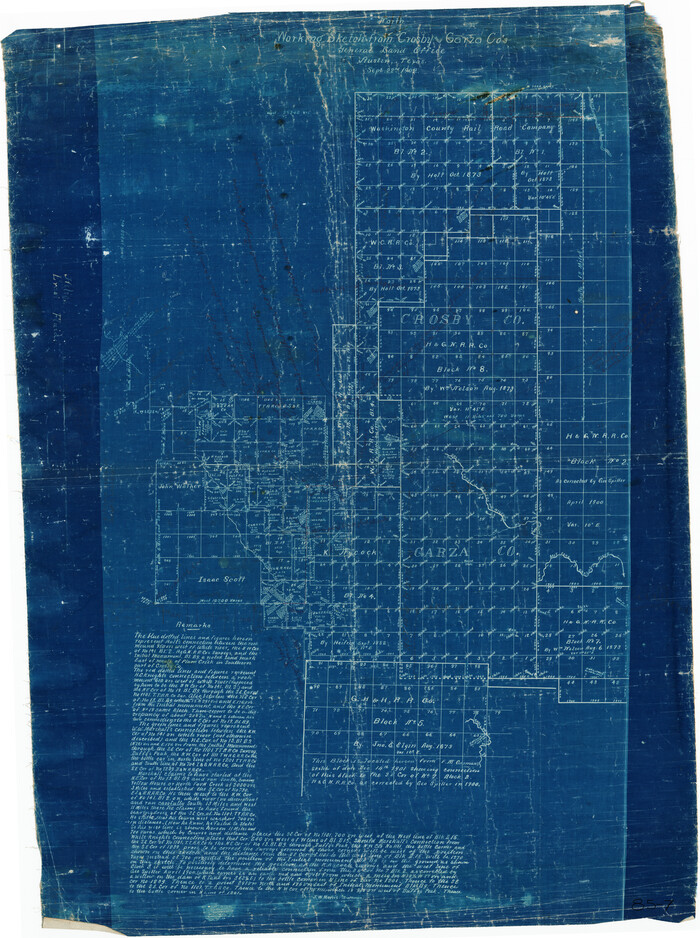

Print $20.00
- Digital $50.00
Working Sketch from Crosby and Garza Cos.
1902
Size 28.7 x 38.7 inches
Map/Doc 90794
Sketch in Martin County Showing Survey 13, Block X


Print $2.00
- Digital $50.00
Sketch in Martin County Showing Survey 13, Block X
1908
Size 12.6 x 8.4 inches
Map/Doc 91286
Waco Manufacturing Company Block 1, G. H. & H. Block 5, Capitol Leagues 229, 230, 234-237]
![90726, Waco Manufacturing Company Block 1, G. H. & H. Block 5, Capitol Leagues 229, 230, 234-237], Twichell Survey Records](https://historictexasmaps.com/wmedia_w700/maps/90726-1.tif.jpg)
![90726, Waco Manufacturing Company Block 1, G. H. & H. Block 5, Capitol Leagues 229, 230, 234-237], Twichell Survey Records](https://historictexasmaps.com/wmedia_w700/maps/90726-1.tif.jpg)
Print $20.00
- Digital $50.00
Waco Manufacturing Company Block 1, G. H. & H. Block 5, Capitol Leagues 229, 230, 234-237]
1902
Size 14.5 x 21.6 inches
Map/Doc 90726
[Sutton, Hale & Ector Co. School Land]
![90102, [Sutton, Hale & Ector Co. School Land], Twichell Survey Records](https://historictexasmaps.com/wmedia_w700/maps/90102-1.tif.jpg)
![90102, [Sutton, Hale & Ector Co. School Land], Twichell Survey Records](https://historictexasmaps.com/wmedia_w700/maps/90102-1.tif.jpg)
Print $3.00
- Digital $50.00
[Sutton, Hale & Ector Co. School Land]
Size 9.7 x 16.8 inches
Map/Doc 90102
You may also like
[South part of Bailey County showing School Leagues]
![92992, [South part of Bailey County showing School Leagues], Twichell Survey Records](https://historictexasmaps.com/wmedia_w700/maps/92992-1.tif.jpg)
![92992, [South part of Bailey County showing School Leagues], Twichell Survey Records](https://historictexasmaps.com/wmedia_w700/maps/92992-1.tif.jpg)
Print $2.00
- Digital $50.00
[South part of Bailey County showing School Leagues]
1913
Size 12.1 x 8.1 inches
Map/Doc 92992
Zapata County Working Sketch 17
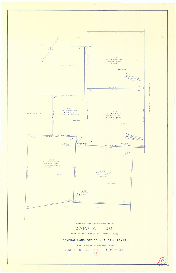

Print $20.00
- Digital $50.00
Zapata County Working Sketch 17
1970
Size 30.0 x 19.4 inches
Map/Doc 62068
Polk County Sketch File 44


Print $193.00
- Digital $50.00
Polk County Sketch File 44
1958
Size 9.4 x 11.0 inches
Map/Doc 34297
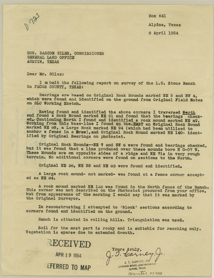
Pecos County Sketch File 92

Print $4.00
- Digital $50.00
Pecos County Sketch File 92
1954
Size 11.2 x 8.6 inches
Map/Doc 33988
Wharton County Working Sketch 14


Print $20.00
- Digital $50.00
Wharton County Working Sketch 14
1961
Size 26.5 x 24.9 inches
Map/Doc 72478
Bosque County Sketch File 19


Print $4.00
- Digital $50.00
Bosque County Sketch File 19
1863
Size 12.9 x 6.2 inches
Map/Doc 14794
Menard County Working Sketch 30


Print $20.00
- Digital $50.00
Menard County Working Sketch 30
1974
Size 47.9 x 38.8 inches
Map/Doc 70977
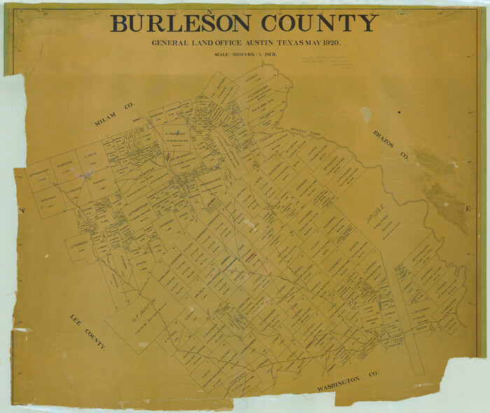
Burleson County

Print $20.00
- Digital $50.00
Burleson County
1920
Size 38.0 x 45.0 inches
Map/Doc 4790
Liberty County Rolled Sketch 15


Print $20.00
- Digital $50.00
Liberty County Rolled Sketch 15
2015
Size 36.2 x 24.5 inches
Map/Doc 94024
Terry County Sketch File 14


Print $20.00
- Digital $50.00
Terry County Sketch File 14
Size 11.1 x 42.4 inches
Map/Doc 10398
Tom Green County Sketch File 71


Print $20.00
- Digital $50.00
Tom Green County Sketch File 71
1948
Size 17.5 x 20.6 inches
Map/Doc 12447
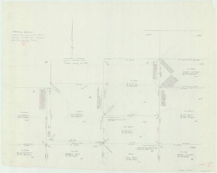
Concho County Working Sketch 1

Print $20.00
- Digital $50.00
Concho County Working Sketch 1
Size 29.3 x 36.8 inches
Map/Doc 68183
![91083, [Jose Ostane and Surrounding Surveys], Twichell Survey Records](https://historictexasmaps.com/wmedia_w1800h1800/maps/91083-1.tif.jpg)
![90967, [Survey 12], Twichell Survey Records](https://historictexasmaps.com/wmedia_w700/maps/90967-1.tif.jpg)