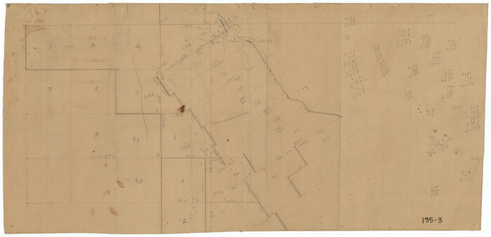
[East Half of Hutchinson County South of the Canadian River]
117-90
-
Map/Doc
91180
-
Collection
Twichell Survey Records
-
Counties
Hutchinson
-
Height x Width
18.1 x 15.7 inches
46.0 x 39.9 cm
Part of: Twichell Survey Records
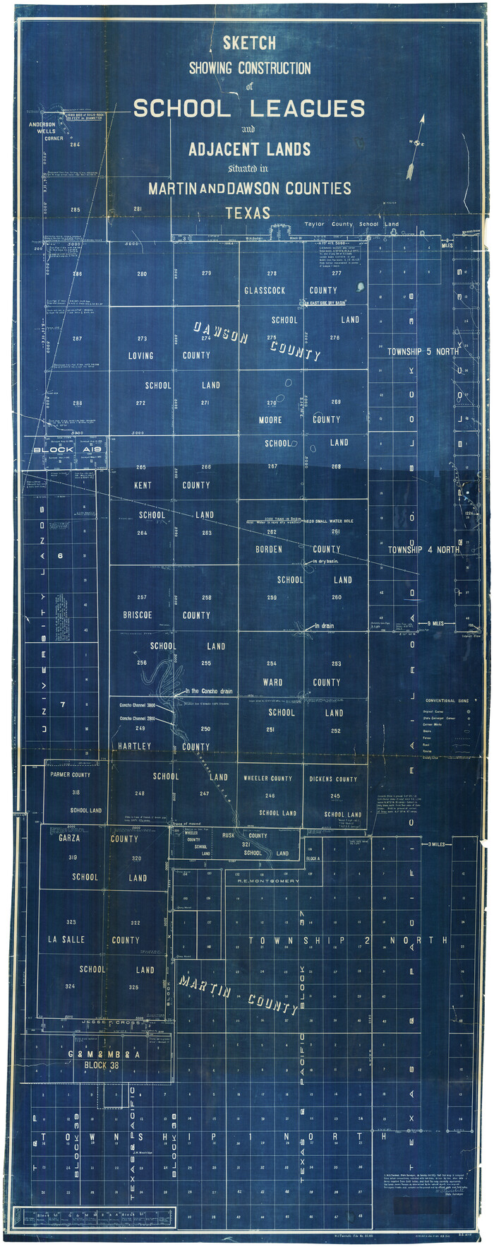
Sketch Showing Construction of School Leagues and Adjacent Lands Situated in Martin and Dawson Counties

Print $40.00
- Digital $50.00
Sketch Showing Construction of School Leagues and Adjacent Lands Situated in Martin and Dawson Counties
1914
Size 39.3 x 97.6 inches
Map/Doc 93201
[Strip Map showing T. & P. connecting lines]
![93182, [Strip Map showing T. & P. connecting lines], Twichell Survey Records](https://historictexasmaps.com/wmedia_w700/maps/93182-1.tif.jpg)
![93182, [Strip Map showing T. & P. connecting lines], Twichell Survey Records](https://historictexasmaps.com/wmedia_w700/maps/93182-1.tif.jpg)
Print $40.00
- Digital $50.00
[Strip Map showing T. & P. connecting lines]
Size 13.6 x 92.6 inches
Map/Doc 93182
[Sketch of Blocks C2, C, D7, A, RG and San Augustine County School Land]
![93021, [Sketch of Blocks C2, C, D7, A, RG and San Augustine County School Land], Twichell Survey Records](https://historictexasmaps.com/wmedia_w700/maps/93021-1.tif.jpg)
![93021, [Sketch of Blocks C2, C, D7, A, RG and San Augustine County School Land], Twichell Survey Records](https://historictexasmaps.com/wmedia_w700/maps/93021-1.tif.jpg)
Print $20.00
- Digital $50.00
[Sketch of Blocks C2, C, D7, A, RG and San Augustine County School Land]
Size 15.5 x 25.8 inches
Map/Doc 93021
[Lgs. 110-112, 678-680 with ties to County Line]
![90157, [Lgs. 110-112, 678-680 with ties to County Line], Twichell Survey Records](https://historictexasmaps.com/wmedia_w700/maps/90157-1.tif.jpg)
![90157, [Lgs. 110-112, 678-680 with ties to County Line], Twichell Survey Records](https://historictexasmaps.com/wmedia_w700/maps/90157-1.tif.jpg)
Print $20.00
- Digital $50.00
[Lgs. 110-112, 678-680 with ties to County Line]
Size 37.7 x 22.9 inches
Map/Doc 90157
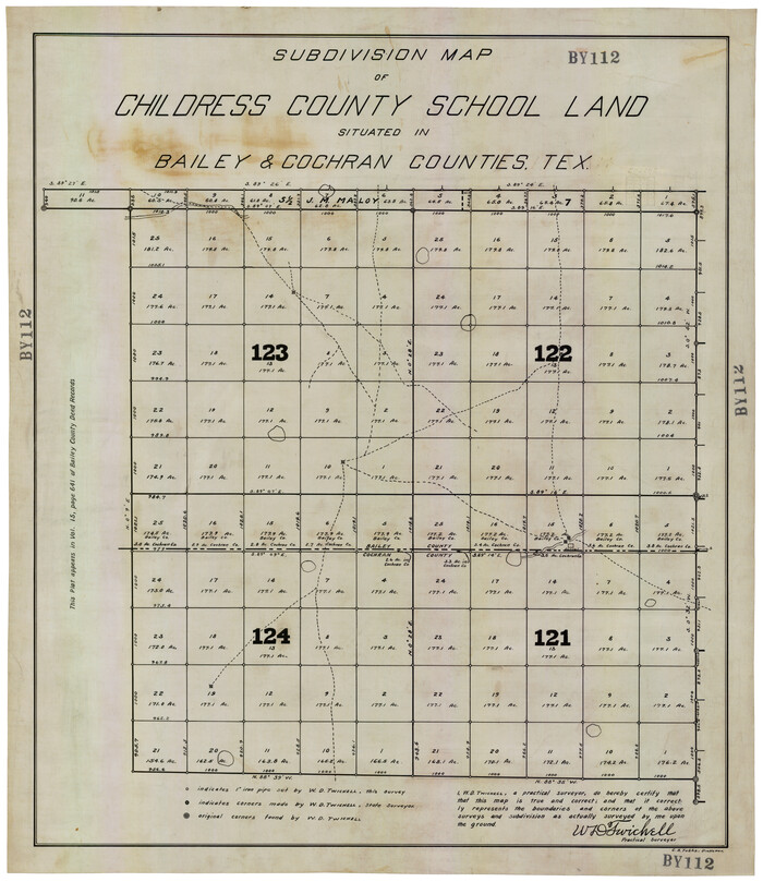
Subdivision Map of Childress County School Land Situated in Bailey and Cochran Counties, Texas

Print $20.00
- Digital $50.00
Subdivision Map of Childress County School Land Situated in Bailey and Cochran Counties, Texas
Size 23.0 x 26.4 inches
Map/Doc 92526
[Sections 158-162 and surveys to the east]
![93003, [Sections 158-162 and surveys to the east], Twichell Survey Records](https://historictexasmaps.com/wmedia_w700/maps/93003-1.tif.jpg)
![93003, [Sections 158-162 and surveys to the east], Twichell Survey Records](https://historictexasmaps.com/wmedia_w700/maps/93003-1.tif.jpg)
Print $20.00
- Digital $50.00
[Sections 158-162 and surveys to the east]
1916
Size 7.8 x 18.9 inches
Map/Doc 93003
[Yates survey 34 1/2 and vicinity]
![91689, [Yates survey 34 1/2 and vicinity], Twichell Survey Records](https://historictexasmaps.com/wmedia_w700/maps/91689-1.tif.jpg)
![91689, [Yates survey 34 1/2 and vicinity], Twichell Survey Records](https://historictexasmaps.com/wmedia_w700/maps/91689-1.tif.jpg)
Print $20.00
- Digital $50.00
[Yates survey 34 1/2 and vicinity]
Size 12.6 x 17.8 inches
Map/Doc 91689
[Connection to Block M-6 and west Castro and Swisher]
![93041, [Connection to Block M-6 and west Castro and Swisher], Twichell Survey Records](https://historictexasmaps.com/wmedia_w700/maps/93041-1.tif.jpg)
![93041, [Connection to Block M-6 and west Castro and Swisher], Twichell Survey Records](https://historictexasmaps.com/wmedia_w700/maps/93041-1.tif.jpg)
Print $40.00
- Digital $50.00
[Connection to Block M-6 and west Castro and Swisher]
Size 60.9 x 28.3 inches
Map/Doc 93041
[PSL Block 1 along State line]
![90579, [PSL Block 1 along State line], Twichell Survey Records](https://historictexasmaps.com/wmedia_w700/maps/90579-1.tif.jpg)
![90579, [PSL Block 1 along State line], Twichell Survey Records](https://historictexasmaps.com/wmedia_w700/maps/90579-1.tif.jpg)
Print $2.00
- Digital $50.00
[PSL Block 1 along State line]
Size 14.1 x 8.0 inches
Map/Doc 90579
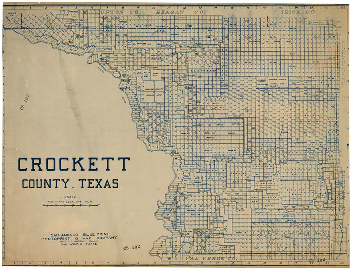
Crockett County, Texas

Print $20.00
- Digital $50.00
Crockett County, Texas
Size 39.8 x 30.8 inches
Map/Doc 92547
You may also like
Leon County Sketch File 7
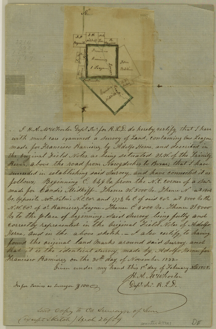

Print $6.00
- Digital $50.00
Leon County Sketch File 7
1858
Size 12.4 x 8.2 inches
Map/Doc 29721
Orange County Aerial Photograph Index Sheet 1


Print $20.00
- Digital $50.00
Orange County Aerial Photograph Index Sheet 1
1957
Size 24.1 x 20.4 inches
Map/Doc 83740
Tarrant County
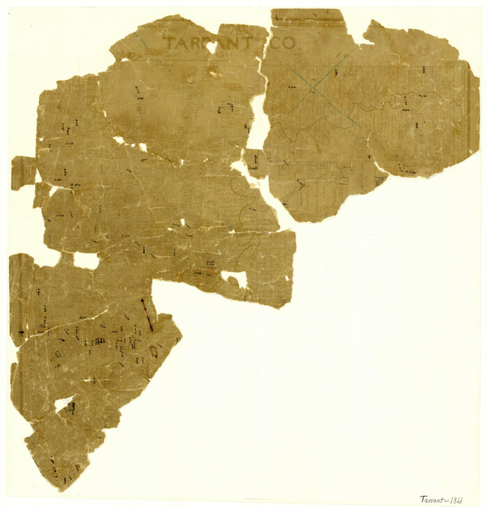

Print $20.00
- Digital $50.00
Tarrant County
1861
Size 17.0 x 16.4 inches
Map/Doc 4067
[Surveys along Richland Creek]
![322, [Surveys along Richland Creek], General Map Collection](https://historictexasmaps.com/wmedia_w700/maps/322.tif.jpg)
![322, [Surveys along Richland Creek], General Map Collection](https://historictexasmaps.com/wmedia_w700/maps/322.tif.jpg)
Print $2.00
- Digital $50.00
[Surveys along Richland Creek]
Size 6.0 x 5.0 inches
Map/Doc 322
The Republic County of Jackson. Boundaries Defined, December 29, 1837


Print $20.00
The Republic County of Jackson. Boundaries Defined, December 29, 1837
2020
Size 15.6 x 21.8 inches
Map/Doc 96184
San Augustine County Sketch File 14


Print $22.00
San Augustine County Sketch File 14
1888
Size 13.2 x 12.6 inches
Map/Doc 35662
Colorado County Working Sketch 35


Print $20.00
- Digital $50.00
Colorado County Working Sketch 35
Size 19.8 x 15.8 inches
Map/Doc 76065
Galveston County Rolled Sketch S
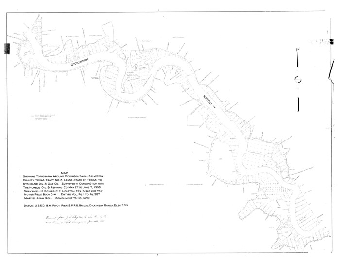

Print $20.00
- Digital $50.00
Galveston County Rolled Sketch S
1935
Size 36.0 x 46.8 inches
Map/Doc 9088
Galveston County Rolled Sketch 42


Print $20.00
- Digital $50.00
Galveston County Rolled Sketch 42
1982
Size 42.9 x 40.6 inches
Map/Doc 9021
Culberson County Working Sketch 27
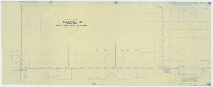

Print $40.00
- Digital $50.00
Culberson County Working Sketch 27
1952
Size 22.2 x 53.4 inches
Map/Doc 68480
Grimes County Working Sketch 16
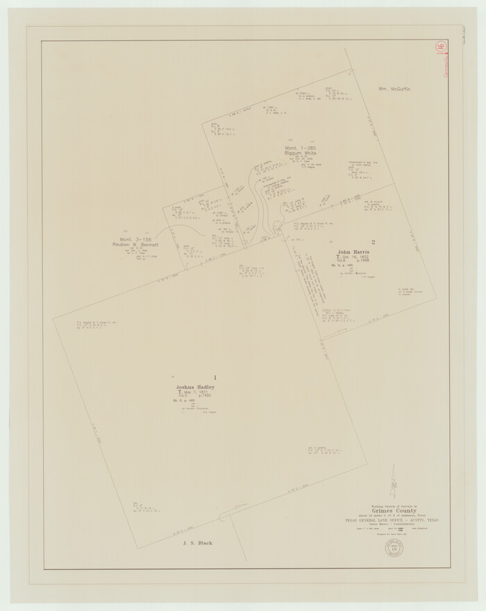

Print $20.00
- Digital $50.00
Grimes County Working Sketch 16
1995
Size 41.6 x 33.1 inches
Map/Doc 63307
Nacogdoches Co.
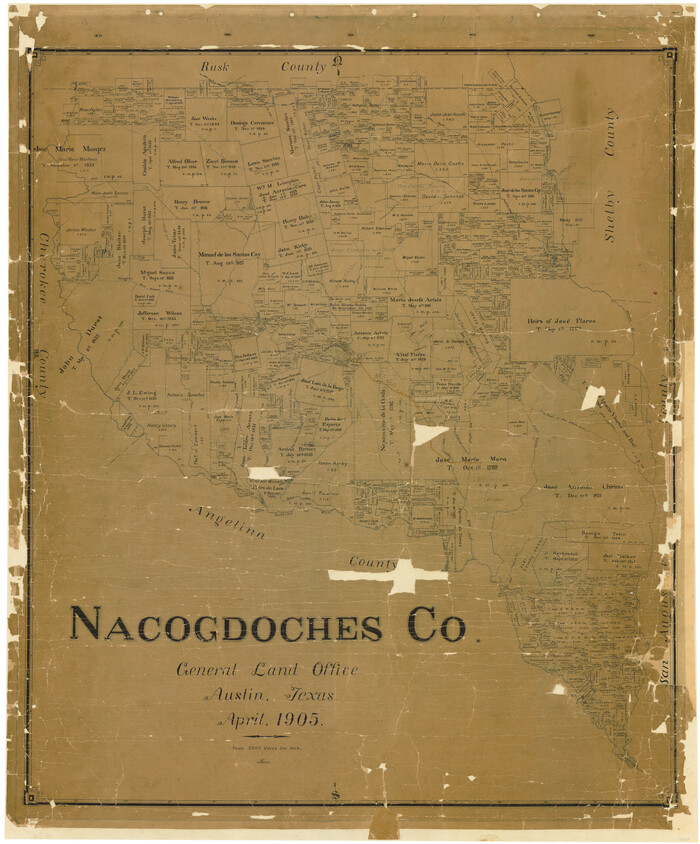

Print $40.00
- Digital $50.00
Nacogdoches Co.
1905
Size 50.7 x 42.0 inches
Map/Doc 10787
![91180, [East Half of Hutchinson County South of the Canadian River], Twichell Survey Records](https://historictexasmaps.com/wmedia_w1800h1800/maps/91180-1.tif.jpg)

