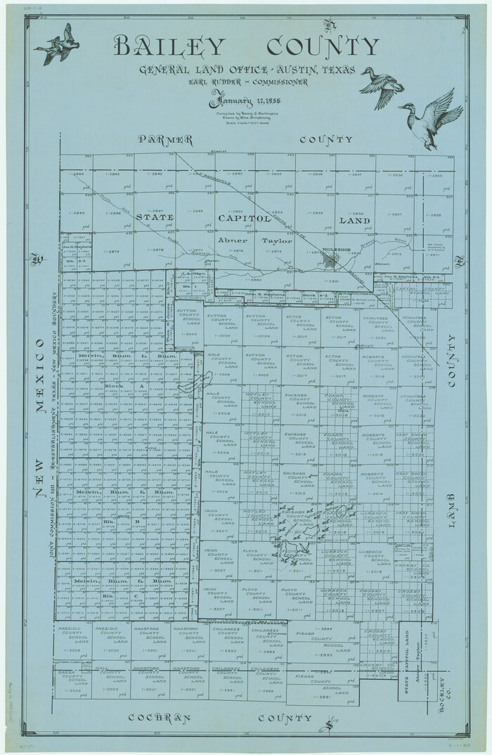
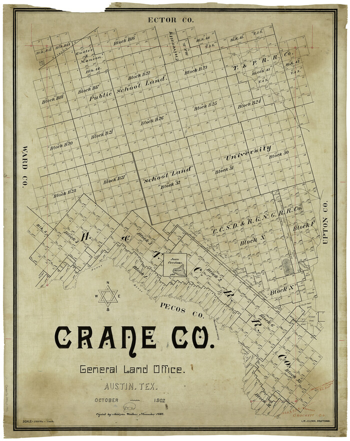
[Blocks 47, Z, XO2, M18, M23, M25, and H]
117-10
-
Map/Doc
91236
-
Collection
Twichell Survey Records
-
People and Organizations
W.D. Twichell (Draftsman)
-
Counties
Hutchinson
-
Height x Width
29.6 x 23.6 inches
75.2 x 59.9 cm
Part of: Twichell Survey Records
Part of Lea County


Print $20.00
- Digital $50.00
Part of Lea County
Size 42.2 x 35.5 inches
Map/Doc 92438
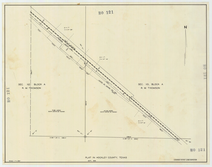
Plat in Hockley County, Texas

Print $20.00
- Digital $50.00
Plat in Hockley County, Texas
1956
Size 26.9 x 21.3 inches
Map/Doc 92221
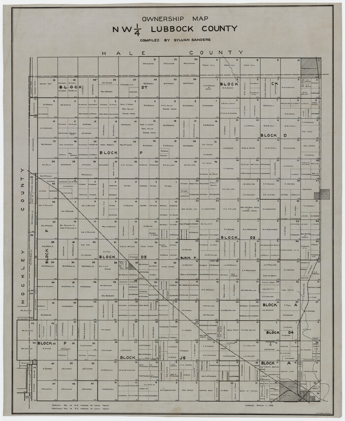
Ownership Map NW 1/4 Lubbock County

Print $20.00
- Digital $50.00
Ownership Map NW 1/4 Lubbock County
1926
Size 32.5 x 39.6 inches
Map/Doc 89698
[Block S, Sections 4 and 11]
![92834, [Block S, Sections 4 and 11], Twichell Survey Records](https://historictexasmaps.com/wmedia_w700/maps/92834-1.tif.jpg)
![92834, [Block S, Sections 4 and 11], Twichell Survey Records](https://historictexasmaps.com/wmedia_w700/maps/92834-1.tif.jpg)
Print $20.00
- Digital $50.00
[Block S, Sections 4 and 11]
1951
Size 14.8 x 12.2 inches
Map/Doc 92834
Wheelock Second Addition


Print $20.00
- Digital $50.00
Wheelock Second Addition
1952
Size 9.3 x 24.3 inches
Map/Doc 92308
Exhibit G Robert Violette M. A. 34719 Gaines County, Texas


Print $40.00
- Digital $50.00
Exhibit G Robert Violette M. A. 34719 Gaines County, Texas
Size 56.1 x 23.2 inches
Map/Doc 89683
[Block C-41, Sections 32, 35, 35 1/2, and vicinity]
![92622, [Block C-41, Sections 32, 35, 35 1/2, and vicinity], Twichell Survey Records](https://historictexasmaps.com/wmedia_w700/maps/92622-1.tif.jpg)
![92622, [Block C-41, Sections 32, 35, 35 1/2, and vicinity], Twichell Survey Records](https://historictexasmaps.com/wmedia_w700/maps/92622-1.tif.jpg)
Print $20.00
- Digital $50.00
[Block C-41, Sections 32, 35, 35 1/2, and vicinity]
1951
Size 20.8 x 9.1 inches
Map/Doc 92622
[G. & M. Block 5]
![91796, [G. & M. Block 5], Twichell Survey Records](https://historictexasmaps.com/wmedia_w700/maps/91796-1.tif.jpg)
![91796, [G. & M. Block 5], Twichell Survey Records](https://historictexasmaps.com/wmedia_w700/maps/91796-1.tif.jpg)
Print $20.00
- Digital $50.00
[G. & M. Block 5]
Size 22.6 x 18.9 inches
Map/Doc 91796
[Tie Line, Zavala County School Land to North Line of Block D11, East and South to Double Lakes Corner]
![91868, [Tie Line, Zavala County School Land to North Line of Block D11, East and South to Double Lakes Corner], Twichell Survey Records](https://historictexasmaps.com/wmedia_w700/maps/91868-1.tif.jpg)
![91868, [Tie Line, Zavala County School Land to North Line of Block D11, East and South to Double Lakes Corner], Twichell Survey Records](https://historictexasmaps.com/wmedia_w700/maps/91868-1.tif.jpg)
Print $20.00
- Digital $50.00
[Tie Line, Zavala County School Land to North Line of Block D11, East and South to Double Lakes Corner]
1900
Size 18.5 x 12.6 inches
Map/Doc 91868
Map Showing Blocks 15, 16 & 18 S.P.R.R.Co.


Print $20.00
- Digital $50.00
Map Showing Blocks 15, 16 & 18 S.P.R.R.Co.
1933
Size 24.7 x 19.1 inches
Map/Doc 92282
[Sketch of parts of Blocks M6, 2Z and B5]
![91934, [Sketch of parts of Blocks M6, 2Z and B5], Twichell Survey Records](https://historictexasmaps.com/wmedia_w700/maps/91934-1.tif.jpg)
![91934, [Sketch of parts of Blocks M6, 2Z and B5], Twichell Survey Records](https://historictexasmaps.com/wmedia_w700/maps/91934-1.tif.jpg)
Print $20.00
- Digital $50.00
[Sketch of parts of Blocks M6, 2Z and B5]
1917
Size 43.1 x 20.9 inches
Map/Doc 91934
You may also like
Polk County Working Sketch 15


Print $20.00
- Digital $50.00
Polk County Working Sketch 15
1947
Size 27.4 x 32.4 inches
Map/Doc 71630
Falls County Working Sketch 2


Print $20.00
- Digital $50.00
Falls County Working Sketch 2
1922
Size 19.0 x 30.0 inches
Map/Doc 69177
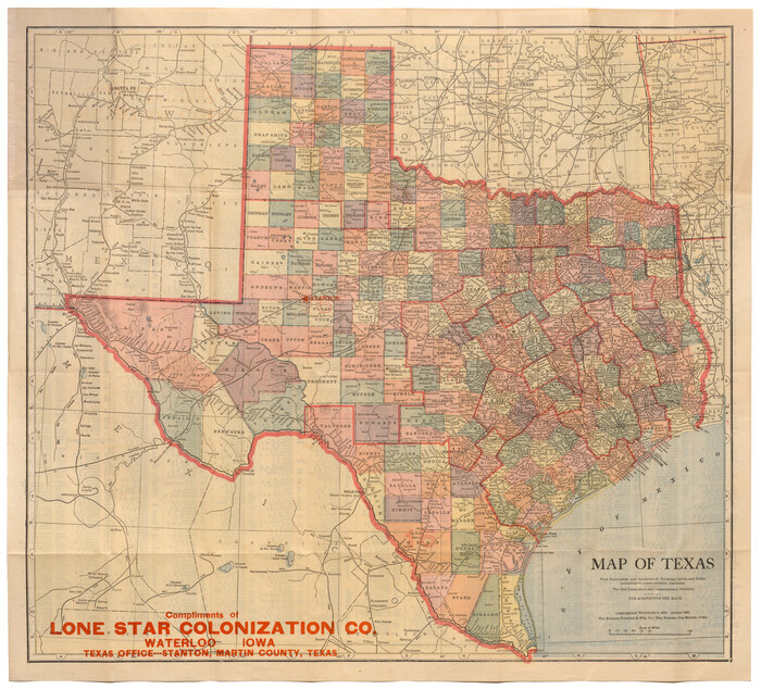
Map of Texas with population and location of principal towns and cities according to latest reliable statistics

Print $20.00
- Digital $50.00
Map of Texas with population and location of principal towns and cities according to latest reliable statistics
1906
Size 18.6 x 20.5 inches
Map/Doc 95871
Coke County Sketch File 13a

Print $20.00
- Digital $50.00
Coke County Sketch File 13a
Size 20.3 x 19.5 inches
Map/Doc 11107
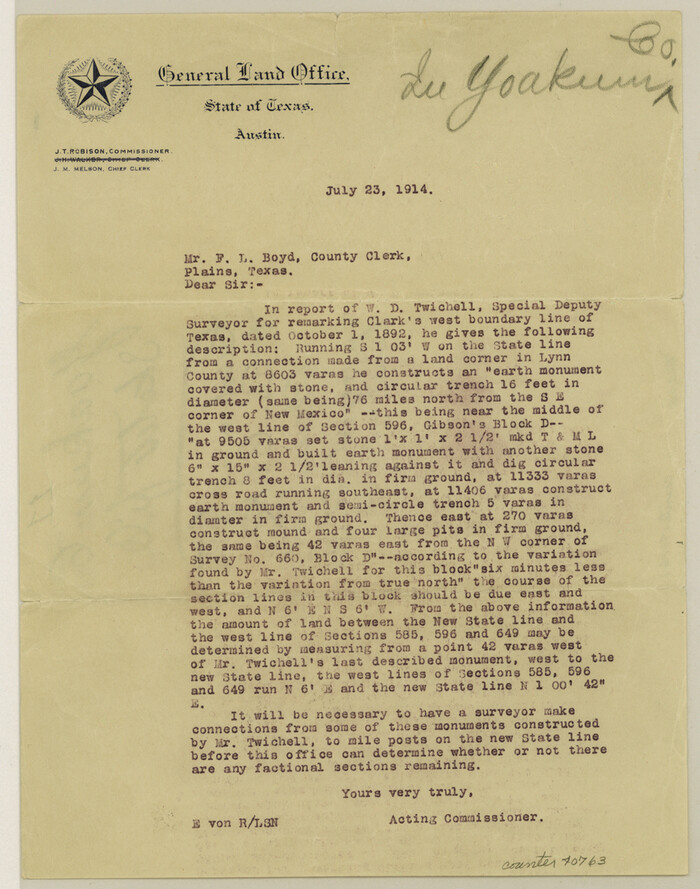
Yoakum County Sketch File 11

Print $4.00
- Digital $50.00
Yoakum County Sketch File 11
1914
Size 11.3 x 8.9 inches
Map/Doc 40763
Johnson County Working Sketch 6


Print $20.00
- Digital $50.00
Johnson County Working Sketch 6
1951
Size 30.6 x 32.6 inches
Map/Doc 66619
San Augustine County Sketch File 21
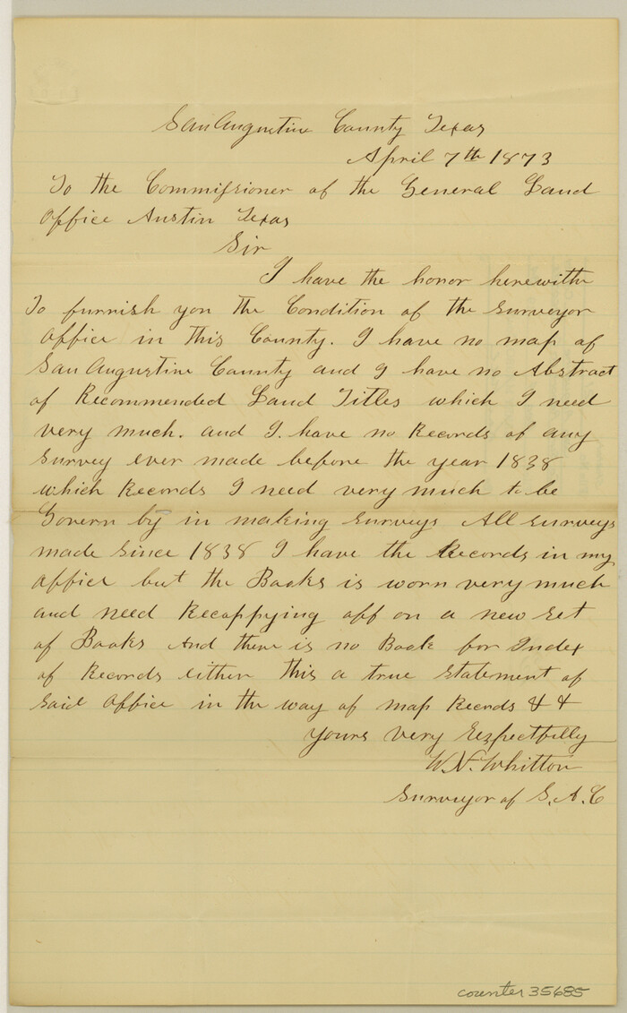

Print $4.00
- Digital $50.00
San Augustine County Sketch File 21
1873
Size 12.8 x 7.9 inches
Map/Doc 35685
Red River County Working Sketch 12

Print $20.00
- Digital $50.00
Red River County Working Sketch 12
Size 17.3 x 20.0 inches
Map/Doc 71995
Right of Way and Track Map, the Missouri, Kansas and Texas Ry. of Texas operated by the Missouri, Kansas and Texas Ry. of Texas, San Antonio Division

Print $40.00
- Digital $50.00
Right of Way and Track Map, the Missouri, Kansas and Texas Ry. of Texas operated by the Missouri, Kansas and Texas Ry. of Texas, San Antonio Division
1918
Size 25.1 x 57.7 inches
Map/Doc 64585
[Map of Block KS in Oldham County, Texas]
![90691, [Map of Block KS in Oldham County, Texas], Twichell Survey Records](https://historictexasmaps.com/wmedia_w700/maps/90691-1.tif.jpg)
![90691, [Map of Block KS in Oldham County, Texas], Twichell Survey Records](https://historictexasmaps.com/wmedia_w700/maps/90691-1.tif.jpg)
Print $20.00
- Digital $50.00
[Map of Block KS in Oldham County, Texas]
1903
Size 20.6 x 23.2 inches
Map/Doc 90691
![91236, [Blocks 47, Z, XO2, M18, M23, M25, and H], Twichell Survey Records](https://historictexasmaps.com/wmedia_w1800h1800/maps/91236-1.tif.jpg)
![90328, [Block B9], Twichell Survey Records](https://historictexasmaps.com/wmedia_w700/maps/90328-1.tif.jpg)
