Block D, Capitol Syndicate Subdivision of Portions of Capitol Land Reservation Leagues Number 333, 333 1/2, 336, and 345 1/2]
180-35
-
Map/Doc
91455
-
Collection
Twichell Survey Records
-
Counties
Oldham
-
Height x Width
19.3 x 28.1 inches
49.0 x 71.4 cm
Part of: Twichell Survey Records
Miller-Stevens Subdivision Section 16, Block B


Print $20.00
- Digital $50.00
Miller-Stevens Subdivision Section 16, Block B
1944
Size 24.2 x 39.8 inches
Map/Doc 92401
Plat Showing Survey made for J. M. Teague, Jr. Gaines County, Texas
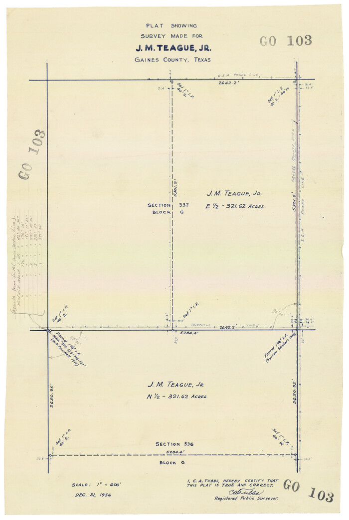

Print $20.00
- Digital $50.00
Plat Showing Survey made for J. M. Teague, Jr. Gaines County, Texas
1956
Size 12.7 x 18.7 inches
Map/Doc 92672
Section L Tech Memorial Park, Inc.
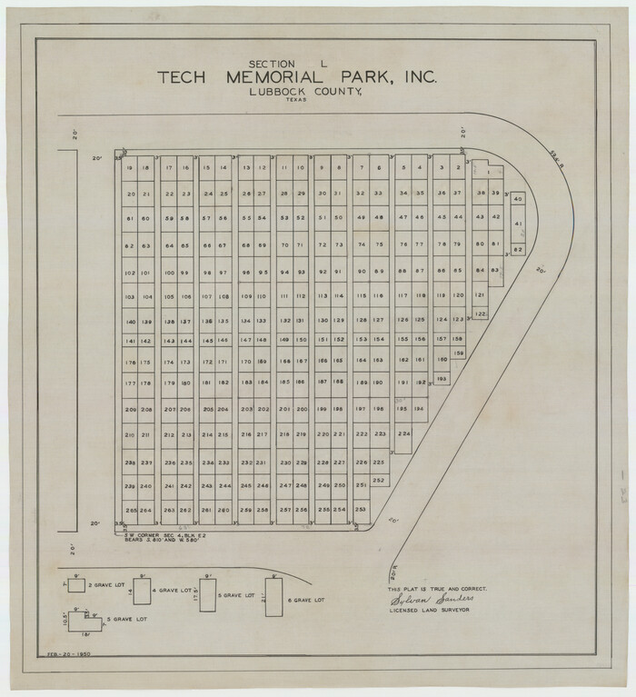

Print $20.00
- Digital $50.00
Section L Tech Memorial Park, Inc.
1950
Size 17.7 x 19.5 inches
Map/Doc 92350
Clay County, 1896
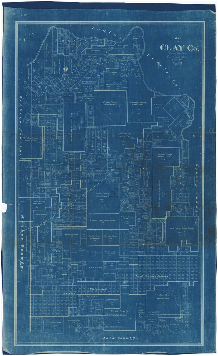

Print $40.00
- Digital $50.00
Clay County, 1896
1896
Size 34.4 x 55.4 inches
Map/Doc 89675
[Township 2 North, Block 33]
![91209, [Township 2 North, Block 33], Twichell Survey Records](https://historictexasmaps.com/wmedia_w700/maps/91209-1.tif.jpg)
![91209, [Township 2 North, Block 33], Twichell Survey Records](https://historictexasmaps.com/wmedia_w700/maps/91209-1.tif.jpg)
Print $3.00
- Digital $50.00
[Township 2 North, Block 33]
Size 11.2 x 13.4 inches
Map/Doc 91209
North Part of Brewster Co.


Print $40.00
- Digital $50.00
North Part of Brewster Co.
1914
Size 49.3 x 40.5 inches
Map/Doc 89724
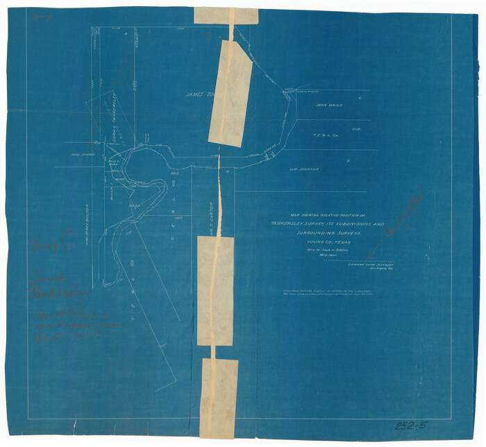
Map Showing Relative Position of Tankersley Survey, its Subdivisions and Surrounding Surveys, Young County, Texas

Print $20.00
- Digital $50.00
Map Showing Relative Position of Tankersley Survey, its Subdivisions and Surrounding Surveys, Young County, Texas
1921
Size 22.3 x 20.3 inches
Map/Doc 92020
W. D. McMillan Estate


Print $20.00
- Digital $50.00
W. D. McMillan Estate
1951
Size 18.0 x 23.1 inches
Map/Doc 92730
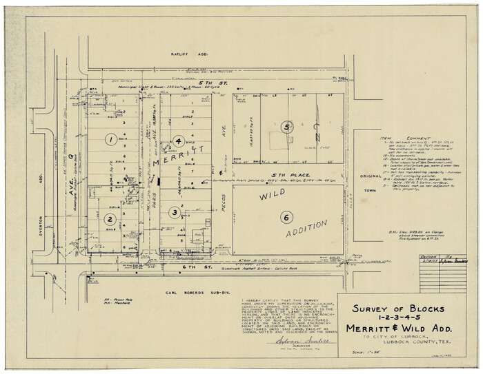
Survey of Blocks 1, 2, 3, 4, 5, Merritt and Wild Addition

Print $20.00
- Digital $50.00
Survey of Blocks 1, 2, 3, 4, 5, Merritt and Wild Addition
1955
Size 23.5 x 18.3 inches
Map/Doc 92727
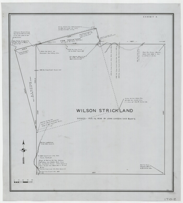
Wilson Strickland Survey, Exhibit A

Print $20.00
- Digital $50.00
Wilson Strickland Survey, Exhibit A
Size 20.8 x 23.0 inches
Map/Doc 91368
[McLennan County School Land Leagues Nos. 3 and 4]
![90879, [McLennan County School Land Leagues Nos. 3 and 4], Twichell Survey Records](https://historictexasmaps.com/wmedia_w700/maps/90879-2.tif.jpg)
![90879, [McLennan County School Land Leagues Nos. 3 and 4], Twichell Survey Records](https://historictexasmaps.com/wmedia_w700/maps/90879-2.tif.jpg)
Print $20.00
- Digital $50.00
[McLennan County School Land Leagues Nos. 3 and 4]
1919
Size 9.1 x 18.6 inches
Map/Doc 90879
You may also like
Gaines County Working Sketch 10

Print $40.00
- Digital $50.00
Gaines County Working Sketch 10
1953
Size 53.0 x 38.0 inches
Map/Doc 69310
[Blocks M13, S1, C3, JK3, and JK]
![90701, [Blocks M13, S1, C3, JK3, and JK], Twichell Survey Records](https://historictexasmaps.com/wmedia_w700/maps/90701-1.tif.jpg)
![90701, [Blocks M13, S1, C3, JK3, and JK], Twichell Survey Records](https://historictexasmaps.com/wmedia_w700/maps/90701-1.tif.jpg)
Print $20.00
- Digital $50.00
[Blocks M13, S1, C3, JK3, and JK]
Size 26.6 x 15.3 inches
Map/Doc 90701
Right of Way and Track Map of The Missouri, Kansas & Texas Railway of Texas


Print $40.00
- Digital $50.00
Right of Way and Track Map of The Missouri, Kansas & Texas Railway of Texas
1918
Size 25.2 x 51.6 inches
Map/Doc 64530
Travis County Working Sketch 21
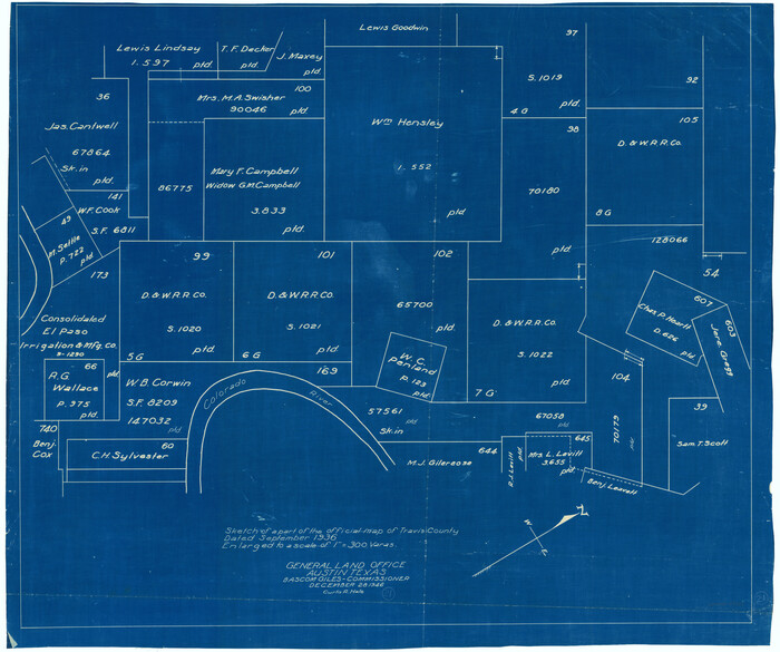

Print $20.00
- Digital $50.00
Travis County Working Sketch 21
1946
Size 35.6 x 42.7 inches
Map/Doc 69405
Kaufman County
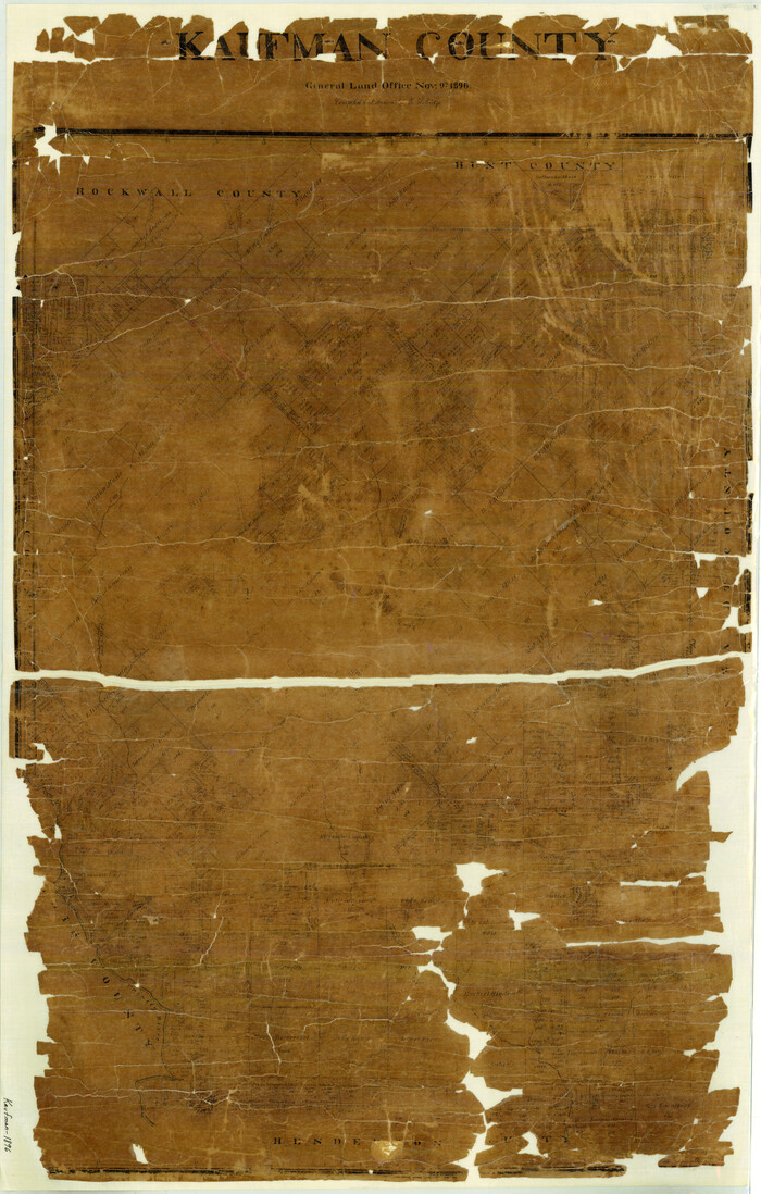

Print $20.00
- Digital $50.00
Kaufman County
1896
Size 44.0 x 28.0 inches
Map/Doc 3751
Right of Way & Track Map, St. Louis, Brownsville & Mexico Ry. operated by St. Louis, Brownsville & Mexico Ry. Co.


Print $40.00
- Digital $50.00
Right of Way & Track Map, St. Louis, Brownsville & Mexico Ry. operated by St. Louis, Brownsville & Mexico Ry. Co.
1919
Size 25.5 x 57.3 inches
Map/Doc 64622
Calhoun County NRC Article 33.136 Location Key Sheet
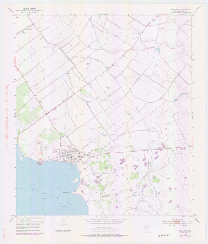

Print $20.00
- Digital $50.00
Calhoun County NRC Article 33.136 Location Key Sheet
1973
Size 27.0 x 23.0 inches
Map/Doc 87907
Menard County Working Sketch Graphic Index


Print $20.00
- Digital $50.00
Menard County Working Sketch Graphic Index
1942
Size 38.4 x 41.7 inches
Map/Doc 76640
Record of Spanish Titles, Vol. III


Record of Spanish Titles, Vol. III
1845
Size 18.2 x 11.9 inches
Map/Doc 94528
Flight Mission No. BRE-2P, Frame 111, Nueces County


Print $20.00
- Digital $50.00
Flight Mission No. BRE-2P, Frame 111, Nueces County
1956
Size 18.4 x 22.6 inches
Map/Doc 86797
Liberty County Working Sketch 44
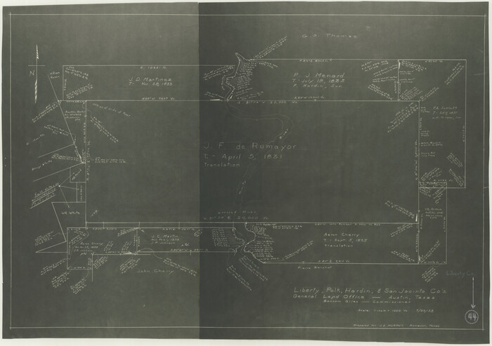

Print $20.00
- Digital $50.00
Liberty County Working Sketch 44
1953
Size 21.3 x 30.2 inches
Map/Doc 70503
[Texas Boundary Line]
![92080, [Texas Boundary Line], Twichell Survey Records](https://historictexasmaps.com/wmedia_w700/maps/92080-1.tif.jpg)
![92080, [Texas Boundary Line], Twichell Survey Records](https://historictexasmaps.com/wmedia_w700/maps/92080-1.tif.jpg)
Print $20.00
- Digital $50.00
[Texas Boundary Line]
Size 21.7 x 12.1 inches
Map/Doc 92080
![91455, Block D, Capitol Syndicate Subdivision of Portions of Capitol Land Reservation Leagues Number 333, 333 1/2, 336, and 345 1/2], Twichell Survey Records](https://historictexasmaps.com/wmedia_w1800h1800/maps/91455-1.tif.jpg)
