[Surveys Surrounding I. G. Yates S.F. 12394]
186-33
-
Map/Doc
91577
-
Collection
Twichell Survey Records
-
Counties
Pecos
-
Height x Width
18.6 x 7.2 inches
47.2 x 18.3 cm
Part of: Twichell Survey Records
Ownership Map Lamb County


Print $20.00
- Digital $50.00
Ownership Map Lamb County
1934
Size 37.6 x 45.0 inches
Map/Doc 89847
[West half of Deaf Smith County Map]
![90510, [West half of Deaf Smith County Map], Twichell Survey Records](https://historictexasmaps.com/wmedia_w700/maps/90510-1.tif.jpg)
![90510, [West half of Deaf Smith County Map], Twichell Survey Records](https://historictexasmaps.com/wmedia_w700/maps/90510-1.tif.jpg)
Print $2.00
- Digital $50.00
[West half of Deaf Smith County Map]
Size 7.6 x 12.5 inches
Map/Doc 90510
[Connection to Block M-13]
![93040, [Connection to Block M-13], Twichell Survey Records](https://historictexasmaps.com/wmedia_w700/maps/93040-1.tif.jpg)
![93040, [Connection to Block M-13], Twichell Survey Records](https://historictexasmaps.com/wmedia_w700/maps/93040-1.tif.jpg)
Print $40.00
- Digital $50.00
[Connection to Block M-13]
Size 27.1 x 60.0 inches
Map/Doc 93040
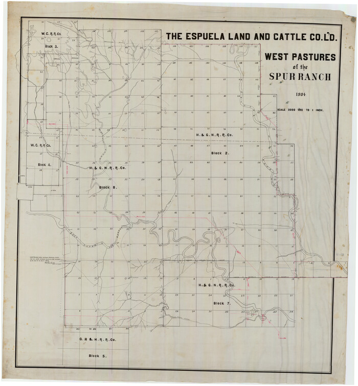
The Espuela Land and Cattle Co. L'd. West Pastures of the Spur Ranch

Print $20.00
- Digital $50.00
The Espuela Land and Cattle Co. L'd. West Pastures of the Spur Ranch
1904
Size 41.2 x 44.3 inches
Map/Doc 89947
Deaf Smith County, Texas / [Sec. 144, Blk. K-5]
![92037, Deaf Smith County, Texas / [Sec. 144, Blk. K-5], Twichell Survey Records](https://historictexasmaps.com/wmedia_w700/maps/92037-1.tif.jpg)
![92037, Deaf Smith County, Texas / [Sec. 144, Blk. K-5], Twichell Survey Records](https://historictexasmaps.com/wmedia_w700/maps/92037-1.tif.jpg)
Print $20.00
- Digital $50.00
Deaf Smith County, Texas / [Sec. 144, Blk. K-5]
Size 25.6 x 19.6 inches
Map/Doc 92037
[Sketch showing B. S. & F. Block 9 and vicinity]
![89785, [Sketch showing B. S. & F. Block 9 and vicinity], Twichell Survey Records](https://historictexasmaps.com/wmedia_w700/maps/89785-1.tif.jpg)
![89785, [Sketch showing B. S. & F. Block 9 and vicinity], Twichell Survey Records](https://historictexasmaps.com/wmedia_w700/maps/89785-1.tif.jpg)
Print $40.00
- Digital $50.00
[Sketch showing B. S. & F. Block 9 and vicinity]
Size 37.8 x 49.0 inches
Map/Doc 89785
Deaf Smith County, Texas / [Sec. 144, Blk. K-5]
![90623, Deaf Smith County, Texas / [Sec. 144, Blk. K-5], Twichell Survey Records](https://historictexasmaps.com/wmedia_w700/maps/90623-1.tif.jpg)
![90623, Deaf Smith County, Texas / [Sec. 144, Blk. K-5], Twichell Survey Records](https://historictexasmaps.com/wmedia_w700/maps/90623-1.tif.jpg)
Print $20.00
- Digital $50.00
Deaf Smith County, Texas / [Sec. 144, Blk. K-5]
Size 22.9 x 22.8 inches
Map/Doc 90623
S/L Blk. 42 & H&TC Pt. of W/L[Sketch showing H. & T. C. Blocks 42 and 46]
![91765, S/L Blk. 42 & H&TC Pt. of W/L[Sketch showing H. & T. C. Blocks 42 and 46], Twichell Survey Records](https://historictexasmaps.com/wmedia_w700/maps/91765-1.tif.jpg)
![91765, S/L Blk. 42 & H&TC Pt. of W/L[Sketch showing H. & T. C. Blocks 42 and 46], Twichell Survey Records](https://historictexasmaps.com/wmedia_w700/maps/91765-1.tif.jpg)
Print $20.00
- Digital $50.00
S/L Blk. 42 & H&TC Pt. of W/L[Sketch showing H. & T. C. Blocks 42 and 46]
Size 35.2 x 19.3 inches
Map/Doc 91765
[Sketch showing I. & G. N. Block 8]
![91798, [Sketch showing I. & G. N. Block 8], Twichell Survey Records](https://historictexasmaps.com/wmedia_w700/maps/91798-1.tif.jpg)
![91798, [Sketch showing I. & G. N. Block 8], Twichell Survey Records](https://historictexasmaps.com/wmedia_w700/maps/91798-1.tif.jpg)
Print $2.00
- Digital $50.00
[Sketch showing I. & G. N. Block 8]
1919
Size 7.6 x 12.6 inches
Map/Doc 91798
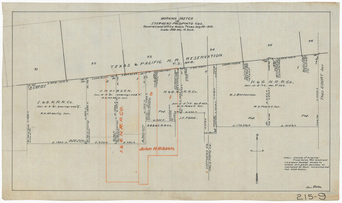
Working Sketch in Stephens-Palo Pinto Cos.

Print $20.00
- Digital $50.00
Working Sketch in Stephens-Palo Pinto Cos.
1919
Size 22.3 x 13.3 inches
Map/Doc 91918
You may also like
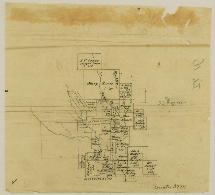
Hunt County Sketch File 16b

Print $6.00
- Digital $50.00
Hunt County Sketch File 16b
Size 6.7 x 7.4 inches
Map/Doc 27111
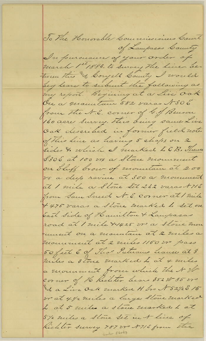
Lampasas County Boundary File 2a

Print $8.00
- Digital $50.00
Lampasas County Boundary File 2a
Size 14.3 x 8.6 inches
Map/Doc 56097
Working Sketch Hemphill County


Print $20.00
- Digital $50.00
Working Sketch Hemphill County
1910
Size 6.9 x 39.1 inches
Map/Doc 90730
Taylor County Boundary File 1


Print $44.00
- Digital $50.00
Taylor County Boundary File 1
Size 8.4 x 8.2 inches
Map/Doc 59184
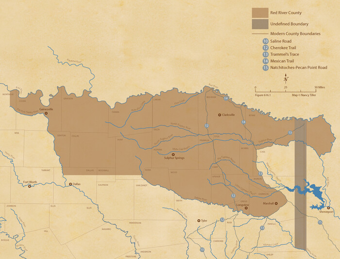
The Chief Justice County of Red River. Undated

Print $20.00
The Chief Justice County of Red River. Undated
2020
Size 16.6 x 21.8 inches
Map/Doc 96065
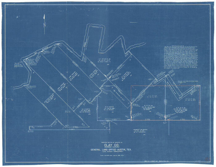
Clay County Working Sketch 12

Print $20.00
- Digital $50.00
Clay County Working Sketch 12
1955
Size 30.6 x 39.4 inches
Map/Doc 68035
[Blocks and surveys to the North and West of Jasper County School Land]
![91570, [Blocks and surveys to the North and West of Jasper County School Land], Twichell Survey Records](https://historictexasmaps.com/wmedia_w700/maps/91570-1.tif.jpg)
![91570, [Blocks and surveys to the North and West of Jasper County School Land], Twichell Survey Records](https://historictexasmaps.com/wmedia_w700/maps/91570-1.tif.jpg)
Print $20.00
- Digital $50.00
[Blocks and surveys to the North and West of Jasper County School Land]
Size 14.9 x 17.8 inches
Map/Doc 91570
Brazoria County Sketch File 24


Print $6.00
- Digital $50.00
Brazoria County Sketch File 24
1868
Size 11.3 x 10.4 inches
Map/Doc 15022
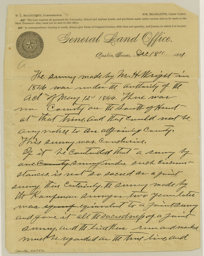
Hunt County Boundary File 5

Print $6.00
- Digital $50.00
Hunt County Boundary File 5
Size 11.2 x 8.9 inches
Map/Doc 55222
Plat of Green Valley Ranch


Print $20.00
- Digital $50.00
Plat of Green Valley Ranch
Size 14.4 x 23.2 inches
Map/Doc 92909
[Sketch Showing Surveys north of South Canadian River, Hemphill County, Texas]
![10759, [Sketch Showing Surveys north of South Canadian River, Hemphill County, Texas], Maddox Collection](https://historictexasmaps.com/wmedia_w700/maps/10759-GC.tif.jpg)
![10759, [Sketch Showing Surveys north of South Canadian River, Hemphill County, Texas], Maddox Collection](https://historictexasmaps.com/wmedia_w700/maps/10759-GC.tif.jpg)
Print $3.00
- Digital $50.00
[Sketch Showing Surveys north of South Canadian River, Hemphill County, Texas]
Size 9.8 x 14.9 inches
Map/Doc 10759
![91577, [Surveys Surrounding I. G. Yates S.F. 12394], Twichell Survey Records](https://historictexasmaps.com/wmedia_w1800h1800/maps/91577-1.tif.jpg)
![92529, [League 206], Twichell Survey Records](https://historictexasmaps.com/wmedia_w700/maps/92529-1.tif.jpg)
