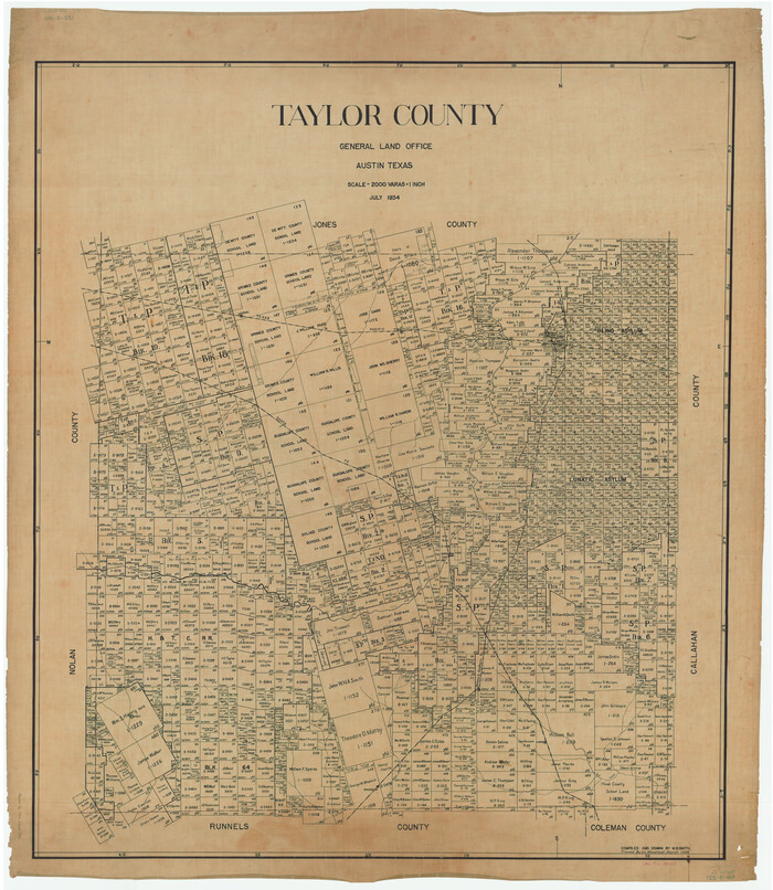
[John H. Tyler and Bob Reid Strip Surveys in Yates Field]
186-55
-
Map/Doc
91582
-
Collection
Twichell Survey Records
-
Counties
Pecos
-
Height x Width
14.3 x 8.8 inches
36.3 x 22.4 cm
Part of: Twichell Survey Records
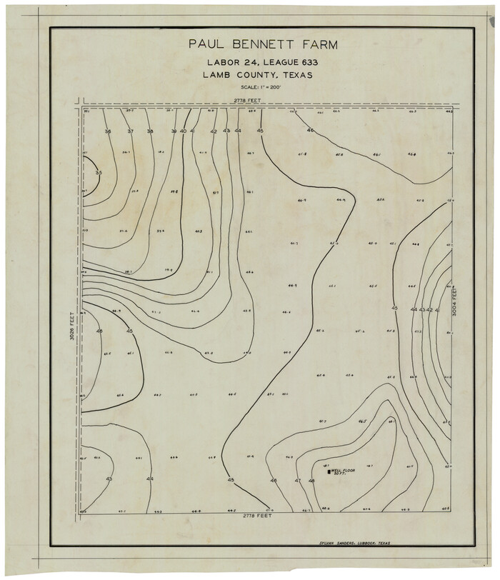
Paul Bennett Farm

Print $20.00
- Digital $50.00
Paul Bennett Farm
Size 18.7 x 21.5 inches
Map/Doc 92409
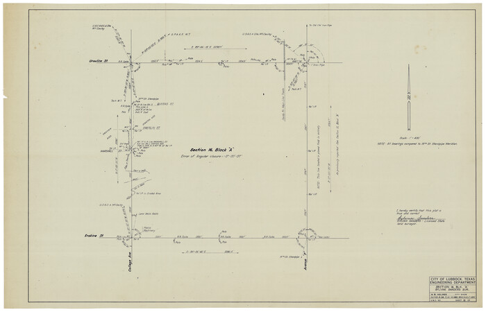
Section 16, Block "A", Sylvan Sanders Survey

Print $20.00
- Digital $50.00
Section 16, Block "A", Sylvan Sanders Survey
1953
Size 24.7 x 16.0 inches
Map/Doc 92715
Part of a map showing resurvey of Capitol Leagues by R. S. Hunnicutt & Behn Cook State Surveyors


Print $20.00
- Digital $50.00
Part of a map showing resurvey of Capitol Leagues by R. S. Hunnicutt & Behn Cook State Surveyors
Size 21.6 x 17.3 inches
Map/Doc 90277
Portion of Scurry County


Print $20.00
- Digital $50.00
Portion of Scurry County
1882
Size 35.1 x 25.3 inches
Map/Doc 92923
Ownership Map NE 1/4 Lubbock County [and attached letter]
![93025, Ownership Map NE 1/4 Lubbock County [and attached letter], Twichell Survey Records](https://historictexasmaps.com/wmedia_w700/maps/93025-1.tif.jpg)
![93025, Ownership Map NE 1/4 Lubbock County [and attached letter], Twichell Survey Records](https://historictexasmaps.com/wmedia_w700/maps/93025-1.tif.jpg)
Print $20.00
- Digital $50.00
Ownership Map NE 1/4 Lubbock County [and attached letter]
Size 36.3 x 39.3 inches
Map/Doc 93025
[Portions of E. L. & R. R. and G. C. & S. F. Block 1]
![91337, [Portions of E. L. & R. R. and G. C. & S. F. Block 1], Twichell Survey Records](https://historictexasmaps.com/wmedia_w700/maps/91337-1.tif.jpg)
![91337, [Portions of E. L. & R. R. and G. C. & S. F. Block 1], Twichell Survey Records](https://historictexasmaps.com/wmedia_w700/maps/91337-1.tif.jpg)
Print $3.00
- Digital $50.00
[Portions of E. L. & R. R. and G. C. & S. F. Block 1]
Size 9.7 x 15.2 inches
Map/Doc 91337
[Blocks CC41 and 8]
![90550, [Blocks CC41 and 8], Twichell Survey Records](https://historictexasmaps.com/wmedia_w700/maps/90550-1.tif.jpg)
![90550, [Blocks CC41 and 8], Twichell Survey Records](https://historictexasmaps.com/wmedia_w700/maps/90550-1.tif.jpg)
Print $2.00
- Digital $50.00
[Blocks CC41 and 8]
Size 15.5 x 8.3 inches
Map/Doc 90550
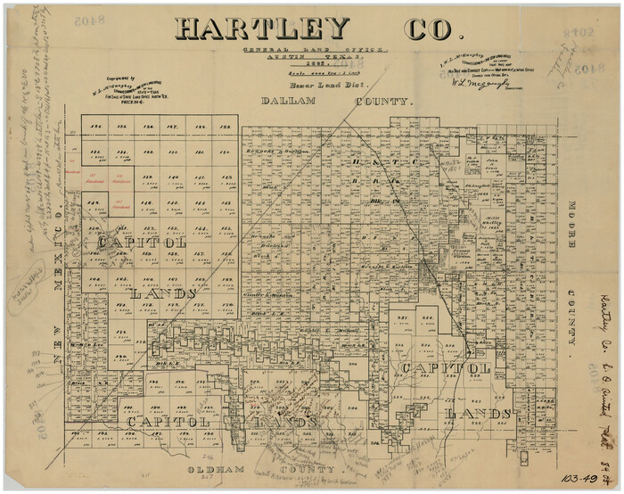
Hartley County

Print $20.00
- Digital $50.00
Hartley County
1892
Size 25.0 x 20.0 inches
Map/Doc 90670
[University Lands Blocks 16, 18, 19 and 20]
![91593, [University Lands Blocks 16, 18, 19 and 20], Twichell Survey Records](https://historictexasmaps.com/wmedia_w700/maps/91593-1.tif.jpg)
![91593, [University Lands Blocks 16, 18, 19 and 20], Twichell Survey Records](https://historictexasmaps.com/wmedia_w700/maps/91593-1.tif.jpg)
Print $3.00
- Digital $50.00
[University Lands Blocks 16, 18, 19 and 20]
Size 8.8 x 16.8 inches
Map/Doc 91593
[East and South lines of County]
![93137, [East and South lines of County], Twichell Survey Records](https://historictexasmaps.com/wmedia_w700/maps/93137-1.tif.jpg)
![93137, [East and South lines of County], Twichell Survey Records](https://historictexasmaps.com/wmedia_w700/maps/93137-1.tif.jpg)
Print $40.00
- Digital $50.00
[East and South lines of County]
Size 75.7 x 9.0 inches
Map/Doc 93137
[Connecting lines through Blocks A2, 29, I, GG, I. & G. N. Block 1 and Archer County School Land]
![91646, [Connecting lines through Blocks A2, 29, I, GG, I. & G. N. Block 1 and Archer County School Land], Twichell Survey Records](https://historictexasmaps.com/wmedia_w700/maps/91646-1.tif.jpg)
![91646, [Connecting lines through Blocks A2, 29, I, GG, I. & G. N. Block 1 and Archer County School Land], Twichell Survey Records](https://historictexasmaps.com/wmedia_w700/maps/91646-1.tif.jpg)
Print $20.00
- Digital $50.00
[Connecting lines through Blocks A2, 29, I, GG, I. & G. N. Block 1 and Archer County School Land]
Size 26.2 x 18.8 inches
Map/Doc 91646
[H. & T. C. Block 47, Sections 58-66 and part of Block 3]
![91791, [H. & T. C. Block 47, Sections 58-66 and part of Block 3], Twichell Survey Records](https://historictexasmaps.com/wmedia_w700/maps/91791-1.tif.jpg)
![91791, [H. & T. C. Block 47, Sections 58-66 and part of Block 3], Twichell Survey Records](https://historictexasmaps.com/wmedia_w700/maps/91791-1.tif.jpg)
Print $20.00
- Digital $50.00
[H. & T. C. Block 47, Sections 58-66 and part of Block 3]
Size 24.1 x 12.7 inches
Map/Doc 91791
You may also like
Panola County Working Sketch 37


Print $20.00
- Digital $50.00
Panola County Working Sketch 37
1984
Map/Doc 71446
Wise County Working Sketch 6


Print $20.00
- Digital $50.00
Wise County Working Sketch 6
1950
Size 12.0 x 15.2 inches
Map/Doc 72620
Pecos County Working Sketch 4


Print $40.00
- Digital $50.00
Pecos County Working Sketch 4
1929
Size 51.3 x 37.6 inches
Map/Doc 71474
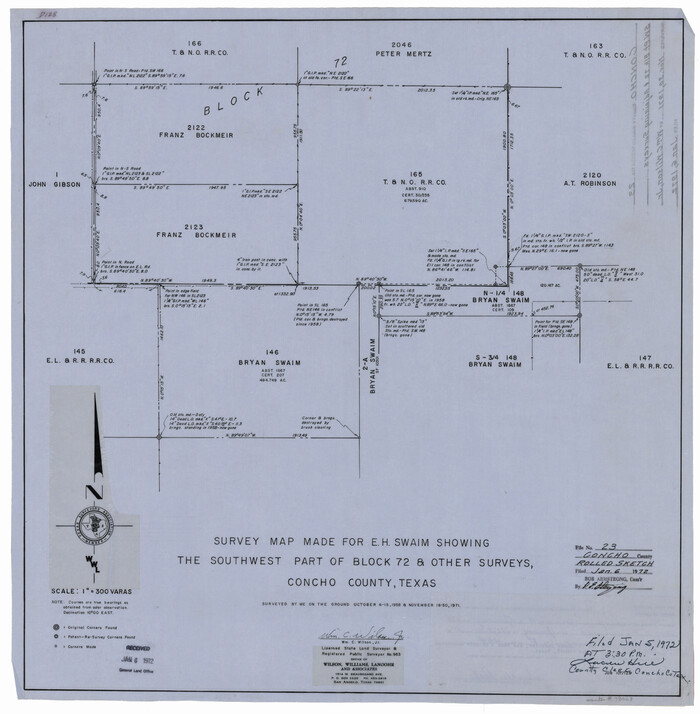
Concho County Rolled Sketch 23

Print $20.00
- Digital $50.00
Concho County Rolled Sketch 23
1971
Size 22.8 x 22.4 inches
Map/Doc 78463
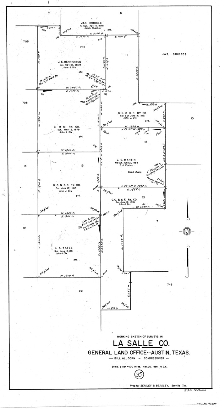
La Salle County Working Sketch 35

Print $20.00
- Digital $50.00
La Salle County Working Sketch 35
1958
Size 31.4 x 16.8 inches
Map/Doc 70336
Concho County Sketch File 26


Print $6.00
- Digital $50.00
Concho County Sketch File 26
1885
Size 11.5 x 9.0 inches
Map/Doc 19159
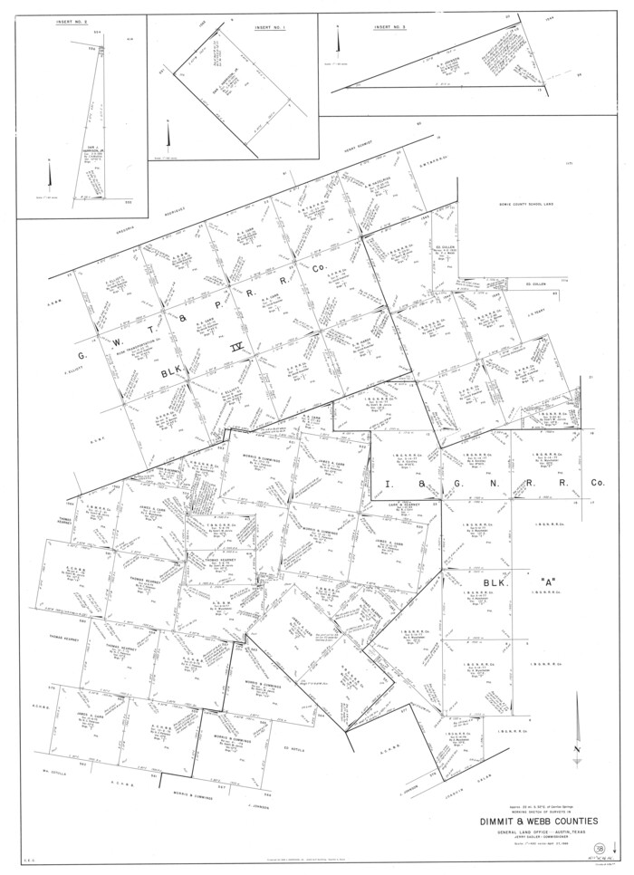
Dimmit County Working Sketch 38

Print $40.00
- Digital $50.00
Dimmit County Working Sketch 38
1966
Size 59.4 x 43.0 inches
Map/Doc 68699
Blanco County Boundary File 53


Print $50.00
- Digital $50.00
Blanco County Boundary File 53
Size 9.2 x 7.7 inches
Map/Doc 50580
Hopkins County


Print $20.00
- Digital $50.00
Hopkins County
1942
Size 39.6 x 37.6 inches
Map/Doc 77315
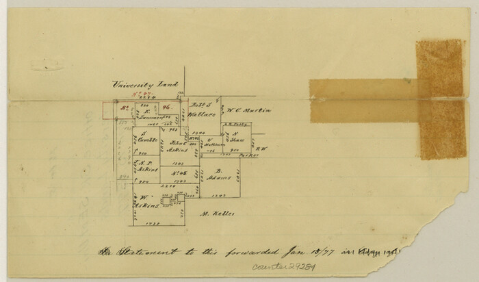
Lamar County Sketch File 5

Print $4.00
- Digital $50.00
Lamar County Sketch File 5
1877
Size 4.8 x 8.1 inches
Map/Doc 29284
[Map of Texas showing Frisco Lines]
![95796, [Map of Texas showing Frisco Lines], Cobb Digital Map Collection](https://historictexasmaps.com/wmedia_w700/maps/95796.tif.jpg)
![95796, [Map of Texas showing Frisco Lines], Cobb Digital Map Collection](https://historictexasmaps.com/wmedia_w700/maps/95796.tif.jpg)
Print $20.00
- Digital $50.00
[Map of Texas showing Frisco Lines]
1910
Size 19.8 x 19.2 inches
Map/Doc 95796
![91582, [John H. Tyler and Bob Reid Strip Surveys in Yates Field], Twichell Survey Records](https://historictexasmaps.com/wmedia_w1800h1800/maps/91582-1.tif.jpg)
