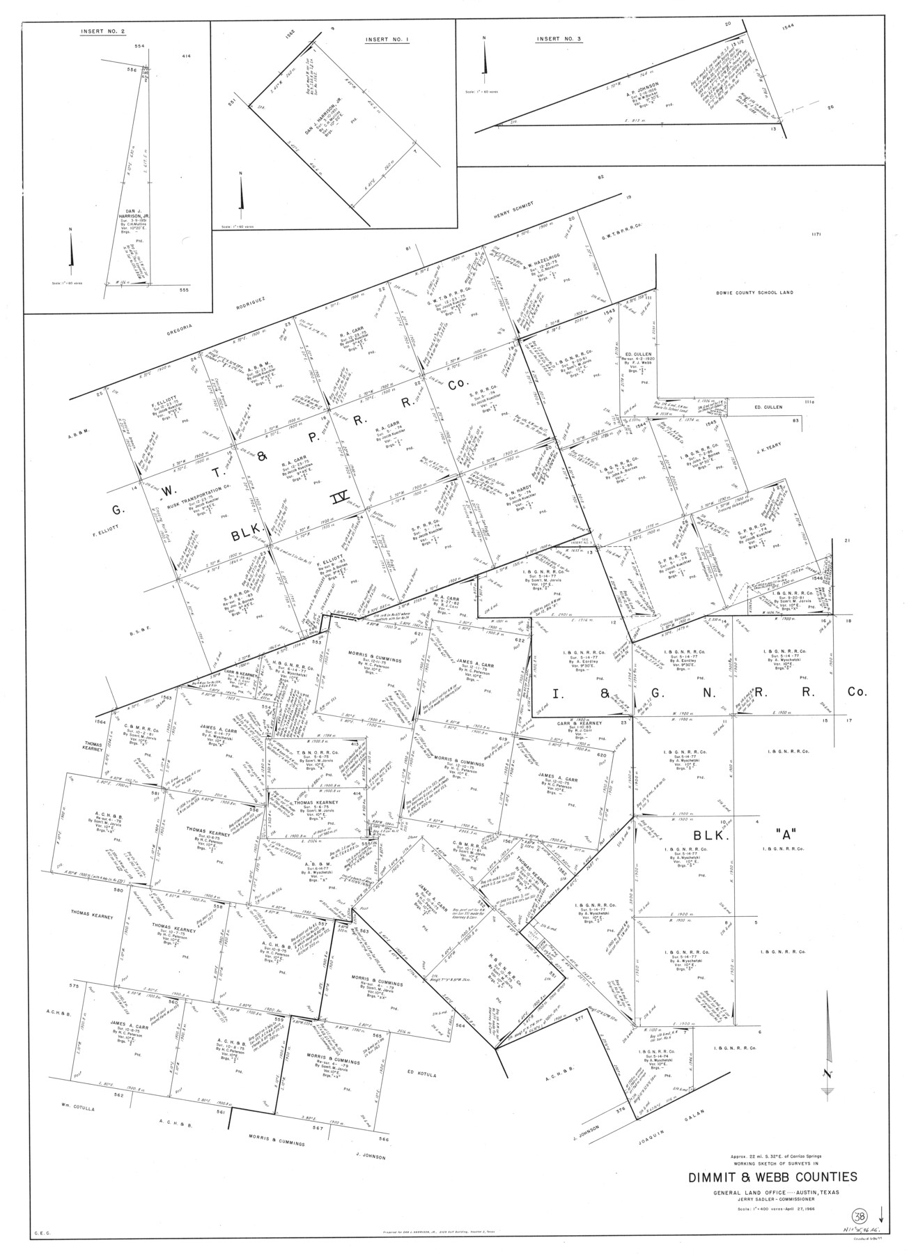
Dimmit County Working Sketch 38
-
Map/Doc
68699
-
Collection
General Map Collection
-
Object Dates
4/27/1966 (Creation Date)
-
Counties
Dimmit Webb
-
Subjects
Surveying Working Sketch
-
Height x Width
59.4 x 43.0 inches
150.9 x 109.2 cm
-
Scale
1" = 400 varas
Part of: General Map Collection
Webb County Working Sketch 55

Print $40.00
- Digital $50.00
Webb County Working Sketch 55
1955
Size 15.9 x 53.2 inches
Map/Doc 72421


Rio Grande, Laguna Atascosa Sheet

Print $20.00
- Digital $50.00
Rio Grande, Laguna Atascosa Sheet
1935
Size 37.4 x 37.6 inches
Map/Doc 65112
Right of Way & Track Map, The Texas & Pacific Ry. Co. Main Line

Print $20.00
- Digital $50.00
Right of Way & Track Map, The Texas & Pacific Ry. Co. Main Line
Size 11.0 x 19.0 inches
Map/Doc 64685
Marion County Rolled Sketch S

Print $20.00
- Digital $50.00
Marion County Rolled Sketch S
1937
Size 18.8 x 18.1 inches
Map/Doc 6663
Brewster County Working Sketch 94

Print $40.00
- Digital $50.00
Brewster County Working Sketch 94
1975
Size 58.7 x 39.5 inches
Map/Doc 67694
Bosque County Sketch File 11

Print $4.00
- Digital $50.00
Bosque County Sketch File 11
1863
Size 10.2 x 8.3 inches
Map/Doc 14759
Houston County

Print $20.00
- Digital $50.00
Houston County
1888
Size 24.5 x 26.1 inches
Map/Doc 3683
Rockport Quadrangle

Print $20.00
- Digital $50.00
Rockport Quadrangle
1954
Size 21.3 x 18.3 inches
Map/Doc 73435
Coleman County Boundary File 17 (2)

Print $19.00
- Digital $50.00
Coleman County Boundary File 17 (2)
Size 5.6 x 17.4 inches
Map/Doc 51645
Gulf Intracoastal Waterway, Tex. - Aransas Bay to Corpus Christi Bay - Modified Route of Main Channel/Dredging

Print $20.00
- Digital $50.00
Gulf Intracoastal Waterway, Tex. - Aransas Bay to Corpus Christi Bay - Modified Route of Main Channel/Dredging
1958
Size 31.0 x 42.8 inches
Map/Doc 61895
You may also like
Hardeman County Sketch File 10

Print $4.00
- Digital $50.00
Hardeman County Sketch File 10
1884
Size 13.2 x 8.3 inches
Map/Doc 25006
Hardin County Sketch File 71

Print $94.00
- Digital $50.00
Hardin County Sketch File 71
1997
Size 11.4 x 8.8 inches
Map/Doc 25259
Outer Continental Shelf Leasing Maps (Louisiana Offshore Operations)

Print $20.00
- Digital $50.00
Outer Continental Shelf Leasing Maps (Louisiana Offshore Operations)
1955
Size 16.2 x 13.0 inches
Map/Doc 76084
Map of the United States of Mexico drawn and compiled from the latest Mexican and United States Government authorities, and other reliable sources

Print $20.00
- Digital $50.00
Map of the United States of Mexico drawn and compiled from the latest Mexican and United States Government authorities, and other reliable sources
1895
Size 17.3 x 24.8 inches
Map/Doc 94083
Walter Butler Irrigated Farm

Print $20.00
- Digital $50.00
Walter Butler Irrigated Farm
Size 24.4 x 17.7 inches
Map/Doc 92318
Gulf, Beaumont & Kansas City Railway

Print $40.00
- Digital $50.00
Gulf, Beaumont & Kansas City Railway
1909
Size 25.1 x 92.5 inches
Map/Doc 64435
Colorado County Working Sketch 30

Print $20.00
- Digital $50.00
Colorado County Working Sketch 30
1980
Size 22.2 x 19.8 inches
Map/Doc 68130
Flight Mission No. CUG-2P, Frame 25, Kleberg County

Print $20.00
- Digital $50.00
Flight Mission No. CUG-2P, Frame 25, Kleberg County
1956
Size 18.5 x 22.2 inches
Map/Doc 86189
Kinney County Working Sketch 22

Print $20.00
- Digital $50.00
Kinney County Working Sketch 22
1950
Size 46.5 x 37.2 inches
Map/Doc 70204
Kimble County Working Sketch 17

Print $20.00
- Digital $50.00
Kimble County Working Sketch 17
1924
Size 27.8 x 22.5 inches
Map/Doc 70085
[Sketch Showing Wm. T. Brewer, John R. Taylor, Wm. F. Butler, Timothy DeVore, L. M. Thorn and adjoining surveys]
![90209, [Sketch Showing Wm. T. Brewer, John R. Taylor, Wm. F. Butler, Timothy DeVore, L. M. Thorn and adjoining surveys], Twichell Survey Records](https://historictexasmaps.com/wmedia_w700/maps/90209-1.tif.jpg)
Print $20.00
- Digital $50.00
[Sketch Showing Wm. T. Brewer, John R. Taylor, Wm. F. Butler, Timothy DeVore, L. M. Thorn and adjoining surveys]
Size 20.2 x 36.6 inches
Map/Doc 90209
Hamilton County Map

Print $40.00
- Digital $50.00
Hamilton County Map
1887
Size 38.2 x 54.4 inches
Map/Doc 16844