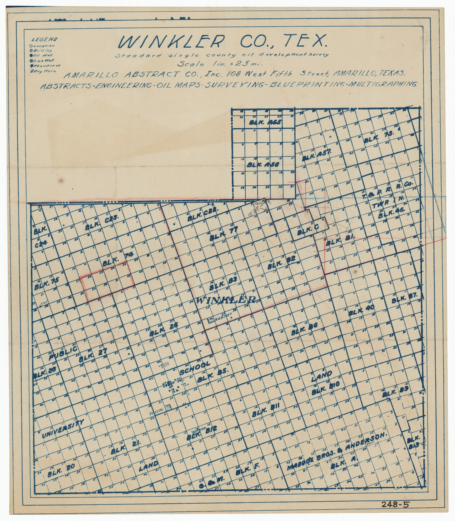
Winkler Co., Tex., standard single county oil development survey
248-5
-
Map/Doc
91972
-
Collection
Twichell Survey Records
-
People and Organizations
Amarillo Abstract Co., Inc. (Publisher)
-
Counties
Winkler
-
Height x Width
14.5 x 16.4 inches
36.8 x 41.7 cm
Part of: Twichell Survey Records
[S51-58, 27, 30, 303-306, 221-224, 562, 564]
![92185, [S51-58, 27, 30, 303-306, 221-224, 562, 564], Twichell Survey Records](https://historictexasmaps.com/wmedia_w700/maps/92185-1.tif.jpg)
Print $20.00
- Digital $50.00
[S51-58, 27, 30, 303-306, 221-224, 562, 564]
Size 31.1 x 15.6 inches
Map/Doc 92185
Map of Coleman County, Texas

Print $40.00
- Digital $50.00
Map of Coleman County, Texas
Size 41.6 x 62.6 inches
Map/Doc 89871
Wheelock's Second Addit(ion)

Print $20.00
- Digital $50.00
Wheelock's Second Addit(ion)
Size 31.5 x 32.3 inches
Map/Doc 92820
[Part of Eastern Texas RR. Co. Block 1]
![91898, [Part of Eastern Texas RR. Co. Block 1], Twichell Survey Records](https://historictexasmaps.com/wmedia_w700/maps/91898-1.tif.jpg)
Print $20.00
- Digital $50.00
[Part of Eastern Texas RR. Co. Block 1]
Size 21.2 x 12.2 inches
Map/Doc 91898
[Strip between Block 8 and Block K4]
![90599, [Strip between Block 8 and Block K4], Twichell Survey Records](https://historictexasmaps.com/wmedia_w700/maps/90599-1.tif.jpg)
Print $3.00
- Digital $50.00
[Strip between Block 8 and Block K4]
Size 10.0 x 12.4 inches
Map/Doc 90599
Working Sketch Bastrop County

Print $20.00
- Digital $50.00
Working Sketch Bastrop County
1923
Size 22.2 x 13.0 inches
Map/Doc 90239
[Block T2, Lamb County]
![90969, [Block T2, Lamb County], Twichell Survey Records](https://historictexasmaps.com/wmedia_w700/maps/90969-1.tif.jpg)
Print $2.00
- Digital $50.00
[Block T2, Lamb County]
Size 11.2 x 8.7 inches
Map/Doc 90969
[H. & T. C. 46, Sections 79- 84]
![91262, [H. & T. C. 46, Sections 79- 84], Twichell Survey Records](https://historictexasmaps.com/wmedia_w700/maps/91262-1.tif.jpg)
Print $20.00
- Digital $50.00
[H. & T. C. 46, Sections 79- 84]
Size 27.3 x 32.6 inches
Map/Doc 91262
[T. & P. Blocks 35 and 36, Townships 1N - 5N]
![93136, [T. & P. Blocks 35 and 36, Townships 1N - 5N], Twichell Survey Records](https://historictexasmaps.com/wmedia_w700/maps/93136-1.tif.jpg)
Print $40.00
- Digital $50.00
[T. & P. Blocks 35 and 36, Townships 1N - 5N]
Size 35.3 x 91.0 inches
Map/Doc 93136
[A. Dubois Survey and vicinity]
![91524, [A. Dubois Survey and vicinity], Twichell Survey Records](https://historictexasmaps.com/wmedia_w700/maps/91524-1.tif.jpg)
Print $3.00
- Digital $50.00
[A. Dubois Survey and vicinity]
Size 11.4 x 14.6 inches
Map/Doc 91524
[Sketch showing the southwest part of the Glidden and Sanborn Addition]
![91746, [Sketch showing the southwest part of the Glidden and Sanborn Addition], Twichell Survey Records](https://historictexasmaps.com/wmedia_w700/maps/91746-1.tif.jpg)
Print $20.00
- Digital $50.00
[Sketch showing the southwest part of the Glidden and Sanborn Addition]
Size 20.0 x 29.3 inches
Map/Doc 91746
[Tie line from Northeast Block 36, Township 5N to Northwest corner Block M]
![90559, [Tie line from Northeast Block 36, Township 5N to Northwest corner Block M], Twichell Survey Records](https://historictexasmaps.com/wmedia_w700/maps/90559-1.tif.jpg)
Print $20.00
- Digital $50.00
[Tie line from Northeast Block 36, Township 5N to Northwest corner Block M]
Size 22.3 x 10.3 inches
Map/Doc 90559
You may also like
La Salle County Working Sketch 54

Print $20.00
- Digital $50.00
La Salle County Working Sketch 54
2009
Size 23.2 x 46.2 inches
Map/Doc 89048
Arlington Street Map & Guide

Digital $50.00
Arlington Street Map & Guide
Size 35.5 x 23.2 inches
Map/Doc 94436
Polk County Sketch File 32

Print $8.00
- Digital $50.00
Polk County Sketch File 32
1887
Size 12.8 x 8.0 inches
Map/Doc 34226
Panola County Sketch File 4

Print $4.00
- Digital $50.00
Panola County Sketch File 4
1860
Size 8.9 x 8.9 inches
Map/Doc 33449
Maps of Gulf Intracoastal Waterway, Texas - Sabine River to the Rio Grande and connecting waterways including ship channels

Print $20.00
- Digital $50.00
Maps of Gulf Intracoastal Waterway, Texas - Sabine River to the Rio Grande and connecting waterways including ship channels
1966
Size 14.6 x 20.5 inches
Map/Doc 62000
Brewster County Rolled Sketch 60

Print $20.00
- Digital $50.00
Brewster County Rolled Sketch 60
Size 25.0 x 37.5 inches
Map/Doc 8484

[Surveys South of the Levi Jordan Title, Southwest of the Neches River]
![90424, [Surveys South of the Levi Jordan Title, Southwest of the Neches River], Twichell Survey Records](https://historictexasmaps.com/wmedia_w700/maps/90424-1.tif.jpg)
Print $20.00
- Digital $50.00
[Surveys South of the Levi Jordan Title, Southwest of the Neches River]
Size 33.4 x 43.3 inches
Map/Doc 90424
Sketch Showing Section 3, Block JW, Subdivided to Show Quantity East of Texas Sections

Print $40.00
- Digital $50.00
Sketch Showing Section 3, Block JW, Subdivided to Show Quantity East of Texas Sections
Size 5.8 x 49.9 inches
Map/Doc 91303
Crockett County Working Sketch 80

Print $20.00
- Digital $50.00
Crockett County Working Sketch 80
1973
Size 28.1 x 26.1 inches
Map/Doc 68413
Jasper County Working Sketch 16

Print $20.00
- Digital $50.00
Jasper County Working Sketch 16
1928
Size 13.7 x 14.3 inches
Map/Doc 66478
Dimmit County Working Sketch Graphic Index - sheet A

Print $40.00
- Digital $50.00
Dimmit County Working Sketch Graphic Index - sheet A
1976
Size 42.0 x 49.7 inches
Map/Doc 76524