[Texas Boundary Line]
255-11-M
-
Map/Doc
92069
-
Collection
Twichell Survey Records
-
People and Organizations
Department of the Interior (Surveyor/Engineer)
-
Subjects
Texas Boundaries
-
Height x Width
31.8 x 18.1 inches
80.8 x 46.0 cm
-
Comments
See counters 92068 to 92082 for complete set of these boundary maps (sheet K not among maps received with collection).
Part of: Twichell Survey Records
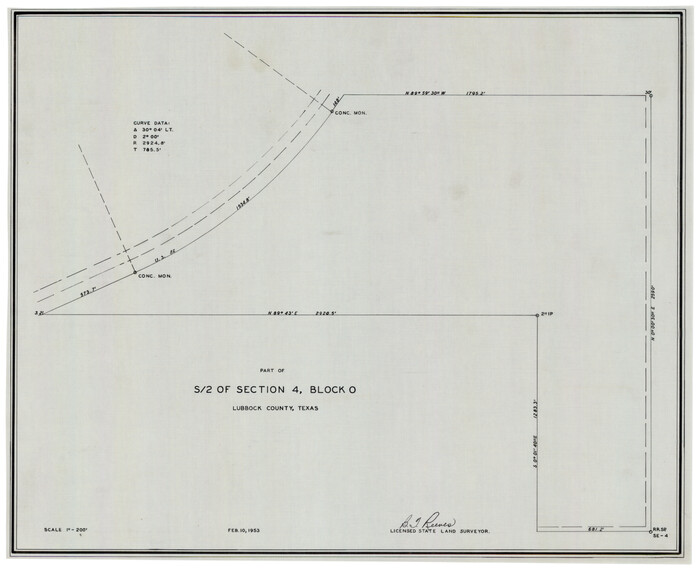
Part of South Half of Section 4, Block O

Print $20.00
- Digital $50.00
Part of South Half of Section 4, Block O
1953
Size 21.1 x 17.2 inches
Map/Doc 92780
[Leagues 157-160]
![90298, [Leagues 157-160], Twichell Survey Records](https://historictexasmaps.com/wmedia_w700/maps/90298-1.tif.jpg)
![90298, [Leagues 157-160], Twichell Survey Records](https://historictexasmaps.com/wmedia_w700/maps/90298-1.tif.jpg)
Print $20.00
- Digital $50.00
[Leagues 157-160]
Size 8.2 x 22.6 inches
Map/Doc 90298
[Blocks M17, M18, M23, XO2, L, Z, and Block 47, Sections 18-25]
![91241, [Blocks M17, M18, M23, XO2, L, Z, and Block 47, Sections 18-25], Twichell Survey Records](https://historictexasmaps.com/wmedia_w700/maps/91241-1.tif.jpg)
![91241, [Blocks M17, M18, M23, XO2, L, Z, and Block 47, Sections 18-25], Twichell Survey Records](https://historictexasmaps.com/wmedia_w700/maps/91241-1.tif.jpg)
Print $20.00
- Digital $50.00
[Blocks M17, M18, M23, XO2, L, Z, and Block 47, Sections 18-25]
Size 32.3 x 26.2 inches
Map/Doc 91241
[George Gentry, Wm. Williams, and surrounding surveys]
![90973, [George Gentry, Wm. Williams, and surrounding surveys], Twichell Survey Records](https://historictexasmaps.com/wmedia_w700/maps/90973-1.tif.jpg)
![90973, [George Gentry, Wm. Williams, and surrounding surveys], Twichell Survey Records](https://historictexasmaps.com/wmedia_w700/maps/90973-1.tif.jpg)
Print $2.00
- Digital $50.00
[George Gentry, Wm. Williams, and surrounding surveys]
Size 8.3 x 12.6 inches
Map/Doc 90973
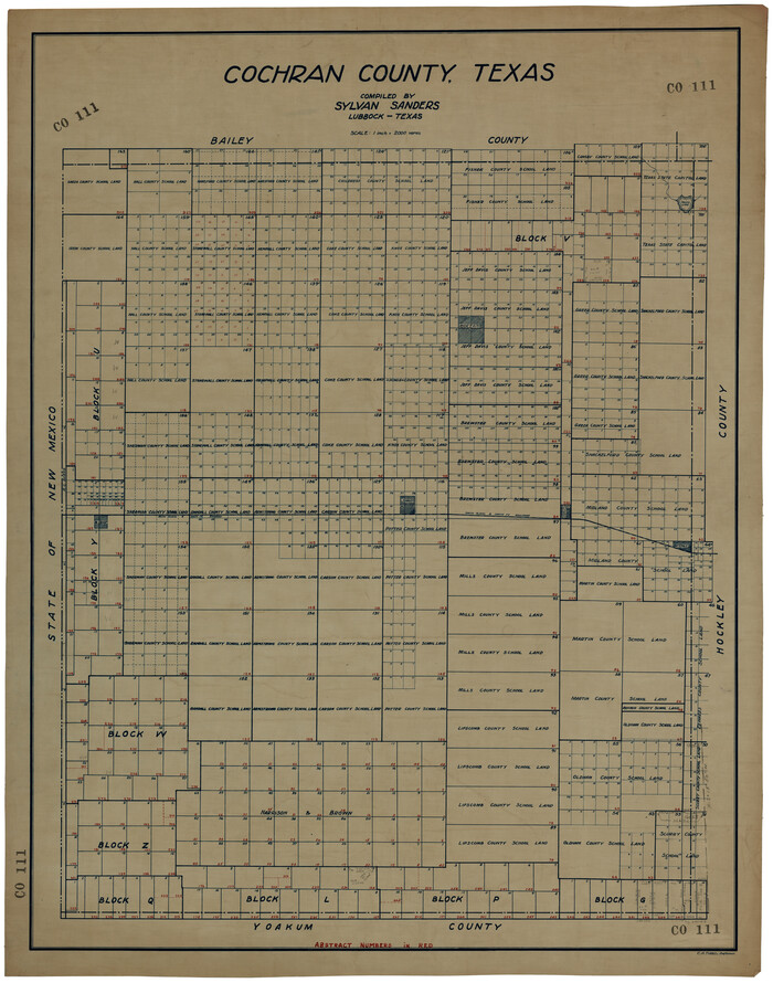
Cochran County, Texas

Print $20.00
- Digital $50.00
Cochran County, Texas
Size 29.8 x 37.5 inches
Map/Doc 92492
[Dallam County Map]
![93157, [Dallam County Map], Twichell Survey Records](https://historictexasmaps.com/wmedia_w700/maps/93157-1.tif.jpg)
![93157, [Dallam County Map], Twichell Survey Records](https://historictexasmaps.com/wmedia_w700/maps/93157-1.tif.jpg)
Print $40.00
- Digital $50.00
[Dallam County Map]
Size 51.1 x 65.2 inches
Map/Doc 93157
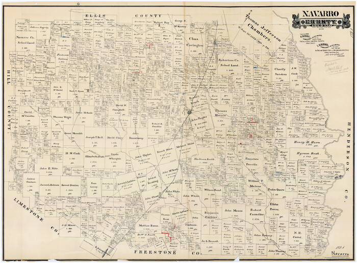
Navarro County, 1888

Print $20.00
- Digital $50.00
Navarro County, 1888
1888
Size 43.8 x 32.2 inches
Map/Doc 89651
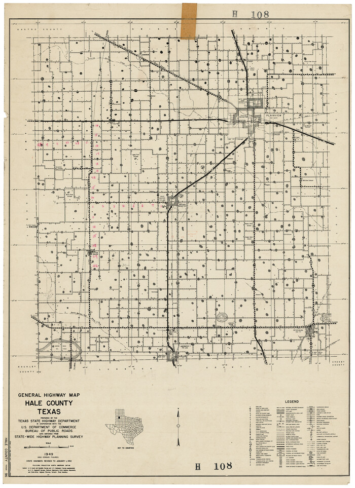
General Highway Map, Hale County, Texas

Print $20.00
- Digital $50.00
General Highway Map, Hale County, Texas
1949
Size 18.8 x 25.9 inches
Map/Doc 92661
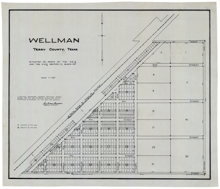
Wellman Situated on Parts of the Northeast 1/4 and Northwest 1/4 Section 17, Block DD

Print $20.00
- Digital $50.00
Wellman Situated on Parts of the Northeast 1/4 and Northwest 1/4 Section 17, Block DD
Size 22.2 x 18.9 inches
Map/Doc 92930
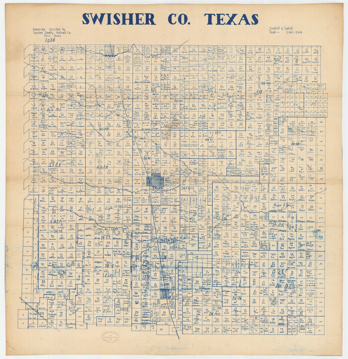
Swisher Co. Texas

Print $20.00
- Digital $50.00
Swisher Co. Texas
1936
Size 36.8 x 38.0 inches
Map/Doc 89876
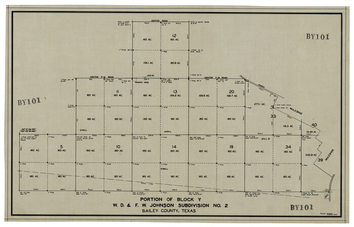
Portion of Block Y, W. D. and F. W. Johnson Subdivision Number 2

Print $20.00
- Digital $50.00
Portion of Block Y, W. D. and F. W. Johnson Subdivision Number 2
Size 23.9 x 15.3 inches
Map/Doc 92500
[E. T. Ry. Blk. 1]
![89794, [E. T. Ry. Blk. 1], Twichell Survey Records](https://historictexasmaps.com/wmedia_w700/maps/89794-1.tif.jpg)
![89794, [E. T. Ry. Blk. 1], Twichell Survey Records](https://historictexasmaps.com/wmedia_w700/maps/89794-1.tif.jpg)
Print $40.00
- Digital $50.00
[E. T. Ry. Blk. 1]
Size 56.5 x 43.4 inches
Map/Doc 89794
You may also like
Montgomery County Working Sketch 45


Print $20.00
- Digital $50.00
Montgomery County Working Sketch 45
1956
Size 14.8 x 29.5 inches
Map/Doc 71152
Hemphill County Working Sketch 35


Print $20.00
- Digital $50.00
Hemphill County Working Sketch 35
1978
Size 35.9 x 44.8 inches
Map/Doc 66130
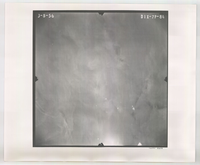
Flight Mission No. DIX-7P, Frame 84, Aransas County

Print $20.00
- Digital $50.00
Flight Mission No. DIX-7P, Frame 84, Aransas County
1956
Size 18.8 x 22.8 inches
Map/Doc 83878
Railroad Track Map, H&TCRRCo., Falls County, Texas


Print $4.00
- Digital $50.00
Railroad Track Map, H&TCRRCo., Falls County, Texas
1918
Size 11.4 x 18.7 inches
Map/Doc 62849
[Nueces Bay Islands and Nesting Birds]
![60311, [Nueces Bay Islands and Nesting Birds], General Map Collection](https://historictexasmaps.com/wmedia_w700/maps/60311.tif.jpg)
![60311, [Nueces Bay Islands and Nesting Birds], General Map Collection](https://historictexasmaps.com/wmedia_w700/maps/60311.tif.jpg)
Print $2.00
- Digital $50.00
[Nueces Bay Islands and Nesting Birds]
1940
Size 11.5 x 7.1 inches
Map/Doc 60311
Flight Mission No. BRE-3P, Frame 97, Nueces County


Print $20.00
- Digital $50.00
Flight Mission No. BRE-3P, Frame 97, Nueces County
1956
Size 18.4 x 22.2 inches
Map/Doc 86828
Gaines County Rolled Sketch G3


Print $20.00
- Digital $50.00
Gaines County Rolled Sketch G3
1902
Size 22.7 x 31.4 inches
Map/Doc 5946
San Jacinto River, Buff Lake Sheet 1/Caney Creek
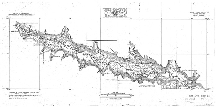

Print $20.00
- Digital $50.00
San Jacinto River, Buff Lake Sheet 1/Caney Creek
1937
Size 18.7 x 37.6 inches
Map/Doc 65147
Baylor County Sketch File 13
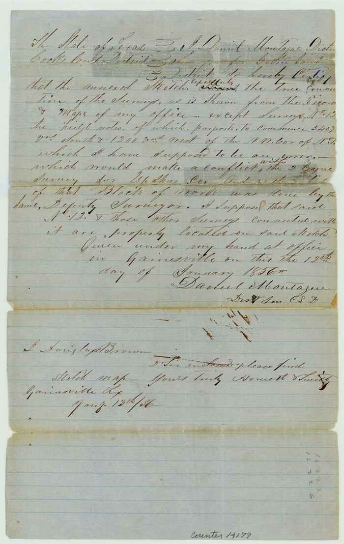

Print $4.00
- Digital $50.00
Baylor County Sketch File 13
1856
Size 13.5 x 8.5 inches
Map/Doc 14179
Galveston County Sketch File 73I
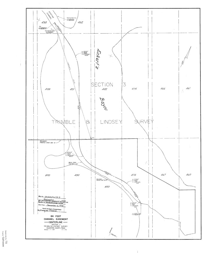

Print $20.00
- Digital $50.00
Galveston County Sketch File 73I
Size 31.5 x 26.0 inches
Map/Doc 11543
[Surveying Sketch of A. Forsythe Block B and R. M. Thomson Block M in Cottle County, Texas]
![523, [Surveying Sketch of A. Forsythe Block B and R. M. Thomson Block M in Cottle County, Texas], Maddox Collection](https://historictexasmaps.com/wmedia_w700/maps/523.tif.jpg)
![523, [Surveying Sketch of A. Forsythe Block B and R. M. Thomson Block M in Cottle County, Texas], Maddox Collection](https://historictexasmaps.com/wmedia_w700/maps/523.tif.jpg)
Print $3.00
- Digital $50.00
[Surveying Sketch of A. Forsythe Block B and R. M. Thomson Block M in Cottle County, Texas]
1912
Size 11.0 x 15.8 inches
Map/Doc 523
![92069, [Texas Boundary Line], Twichell Survey Records](https://historictexasmaps.com/wmedia_w1800h1800/maps/92069-1.tif.jpg)
