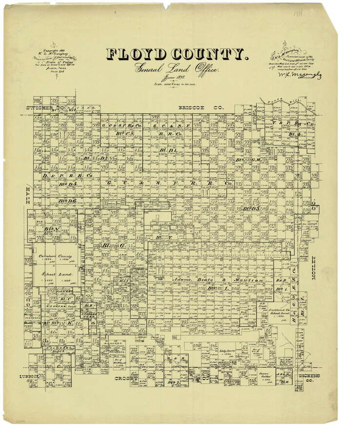
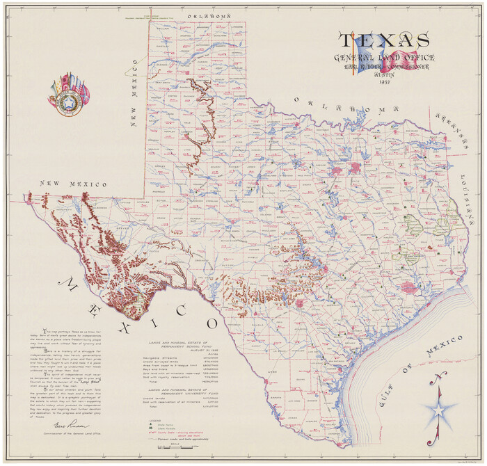
[Surveying Sketch of A. Forsythe Block B and R. M. Thomson Block M in Cottle County, Texas]
-
Map/Doc
523
-
Collection
Maddox Collection
-
Object Dates
1912/5/4 (Creation Date)
-
People and Organizations
Jno. W. Carroll (Surveyor/Engineer)
-
Counties
Cottle
-
Height x Width
11.0 x 15.8 inches
27.9 x 40.1 cm
-
Medium
blueprint/diazo
Part of: Maddox Collection
Map of lands owned by R.E. Montgomery in Martin and Andrews County, Texas


Print $20.00
- Digital $50.00
Map of lands owned by R.E. Montgomery in Martin and Andrews County, Texas
Size 20.0 x 24.5 inches
Map/Doc 75764
Medina County, Texas


Print $20.00
- Digital $50.00
Medina County, Texas
1879
Size 31.8 x 26.4 inches
Map/Doc 579
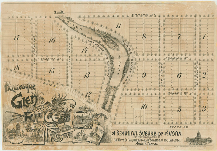
Picturesque Glen Ridge, A Beautiful Suburb of Austin

Print $20.00
- Digital $50.00
Picturesque Glen Ridge, A Beautiful Suburb of Austin
1890
Size 28.9 x 40.9 inches
Map/Doc 584
Map of Lavaca County, Texas


Print $20.00
- Digital $50.00
Map of Lavaca County, Texas
1879
Size 22.8 x 25.0 inches
Map/Doc 561
Sketch of Motley Co.


Print $20.00
- Digital $50.00
Sketch of Motley Co.
1883
Size 19.7 x 20.2 inches
Map/Doc 75560
[Surveying Sketch of A. Forsythe Block B and R. M. Thomson Block M in Cottle County, Texas]
![523, [Surveying Sketch of A. Forsythe Block B and R. M. Thomson Block M in Cottle County, Texas], Maddox Collection](https://historictexasmaps.com/wmedia_w700/maps/523.tif.jpg)
![523, [Surveying Sketch of A. Forsythe Block B and R. M. Thomson Block M in Cottle County, Texas], Maddox Collection](https://historictexasmaps.com/wmedia_w700/maps/523.tif.jpg)
Print $3.00
- Digital $50.00
[Surveying Sketch of A. Forsythe Block B and R. M. Thomson Block M in Cottle County, Texas]
1912
Size 11.0 x 15.8 inches
Map/Doc 523
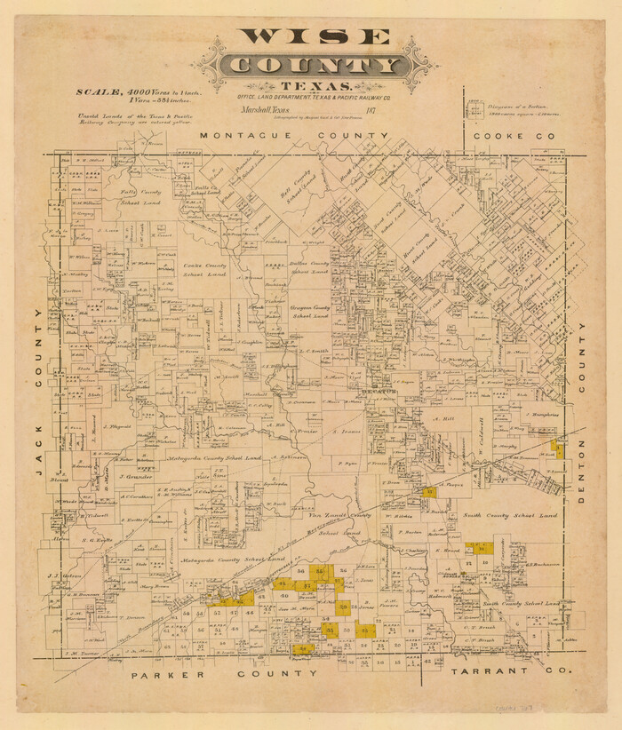
Wise County, Texas

Print $20.00
- Digital $50.00
Wise County, Texas
1870
Size 20.9 x 18.0 inches
Map/Doc 767
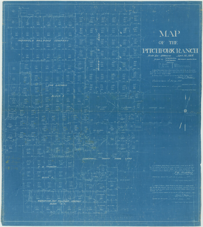
Map of the Pitchfork Ranch

Print $20.00
- Digital $50.00
Map of the Pitchfork Ranch
1915
Size 39.7 x 35.6 inches
Map/Doc 75827
Map of South Brady Ranch, Concho County, Texas


Print $3.00
- Digital $50.00
Map of South Brady Ranch, Concho County, Texas
1880
Size 12.9 x 10.5 inches
Map/Doc 424
[El Javali Grant,] Sketch of 2560 acres of land in Starr County
![474, [El Javali Grant,] Sketch of 2560 acres of land in Starr County, Maddox Collection](https://historictexasmaps.com/wmedia_w700/maps/0474-1.tif.jpg)
![474, [El Javali Grant,] Sketch of 2560 acres of land in Starr County, Maddox Collection](https://historictexasmaps.com/wmedia_w700/maps/0474-1.tif.jpg)
Print $20.00
- Digital $50.00
[El Javali Grant,] Sketch of 2560 acres of land in Starr County
Size 13.4 x 14.0 inches
Map/Doc 474
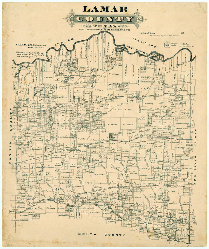
Lamar County, Texas

Print $20.00
- Digital $50.00
Lamar County, Texas
1870
Size 21.5 x 18.1 inches
Map/Doc 738
You may also like
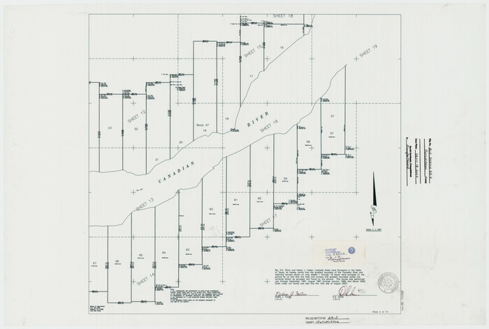
Hutchinson County Rolled Sketch 44-2

Print $20.00
- Digital $50.00
Hutchinson County Rolled Sketch 44-2
2002
Size 24.0 x 36.0 inches
Map/Doc 77538
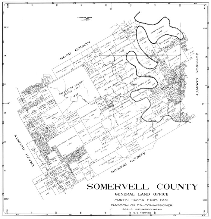
Somervell County

Print $20.00
- Digital $50.00
Somervell County
1941
Size 25.1 x 24.1 inches
Map/Doc 77424
Le Golfe de Mexique, et les Provinces et Isles qui l'Environe comme sont la Floride au nord, le Mexique ou Nouvelle Espagne a l'ouest, la Terre-Ferme au sud, les Is. Antilles, Lucayes, St. Domingue et Jamaique a l'est
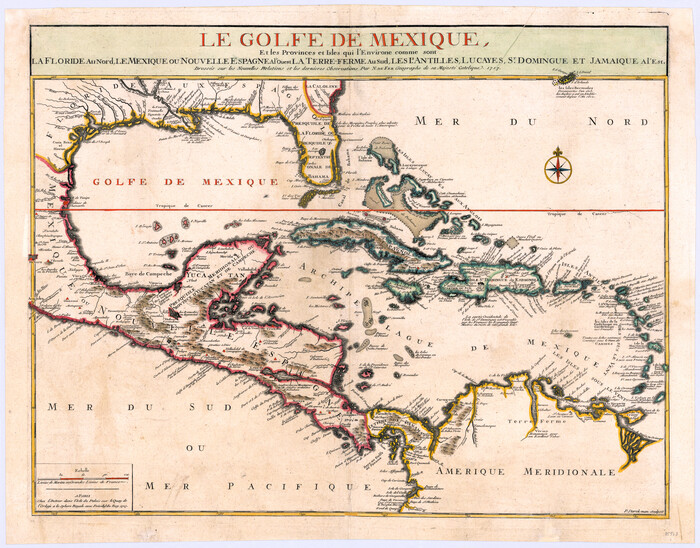

Print $20.00
- Digital $50.00
Le Golfe de Mexique, et les Provinces et Isles qui l'Environe comme sont la Floride au nord, le Mexique ou Nouvelle Espagne a l'ouest, la Terre-Ferme au sud, les Is. Antilles, Lucayes, St. Domingue et Jamaique a l'est
1717
Size 20.2 x 25.7 inches
Map/Doc 95923
Railroad Track Map, H&TCRRCo., Falls County, Texas
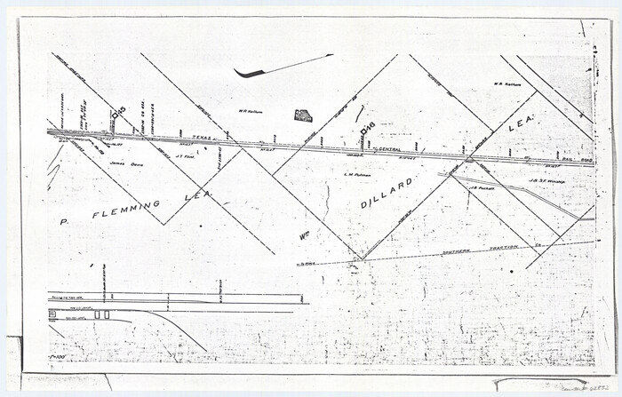

Print $4.00
- Digital $50.00
Railroad Track Map, H&TCRRCo., Falls County, Texas
1918
Size 11.9 x 18.5 inches
Map/Doc 62832
Crockett County Rolled Sketch 6
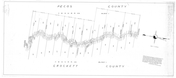

Print $40.00
- Digital $50.00
Crockett County Rolled Sketch 6
Size 54.7 x 24.3 inches
Map/Doc 8690
Edwards County Sketch File 14


Print $24.00
- Digital $50.00
Edwards County Sketch File 14
1891
Size 12.9 x 8.7 inches
Map/Doc 21703
Hutchinson County Working Sketch 17


Print $20.00
- Digital $50.00
Hutchinson County Working Sketch 17
Size 45.8 x 44.2 inches
Map/Doc 66376
Angelina County Sketch File 11e


Print $6.00
- Digital $50.00
Angelina County Sketch File 11e
1885
Size 12.7 x 8.2 inches
Map/Doc 12951
Wilbarger Co.
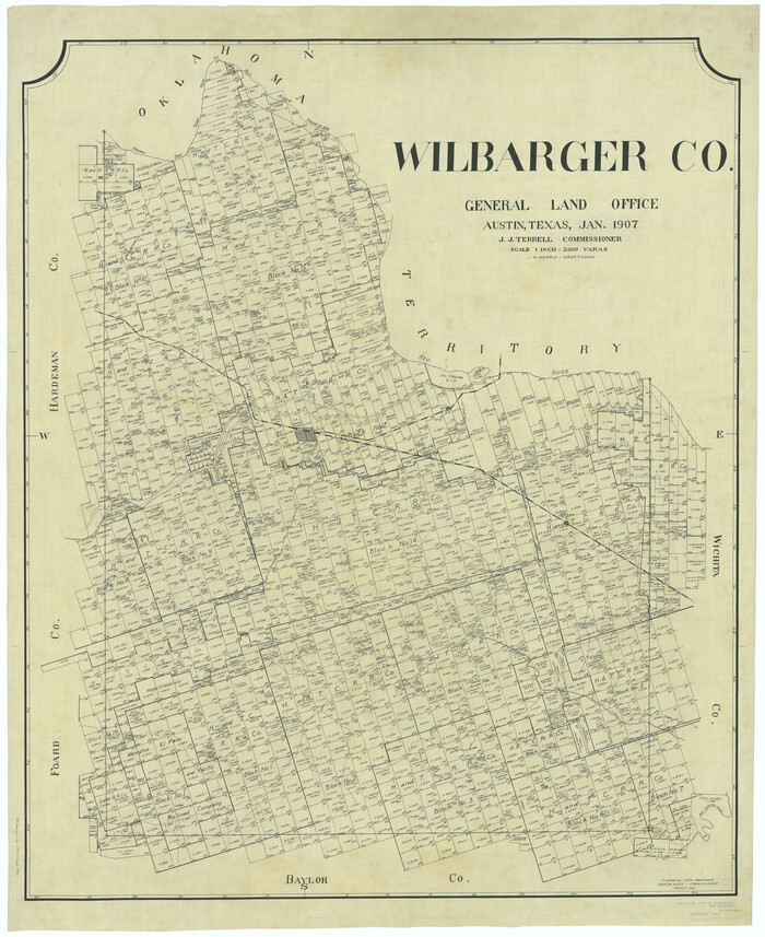

Print $40.00
- Digital $50.00
Wilbarger Co.
1907
Size 48.8 x 39.8 inches
Map/Doc 63127
Threading the Islands: Which track fits?


Threading the Islands: Which track fits?
1986
Size 20.5 x 14.7 inches
Map/Doc 96838
Reagan County Sketch File 17


Print $40.00
- Digital $50.00
Reagan County Sketch File 17
Size 11.8 x 14.2 inches
Map/Doc 35006
![523, [Surveying Sketch of A. Forsythe Block B and R. M. Thomson Block M in Cottle County, Texas], Maddox Collection](https://historictexasmaps.com/wmedia_w1800h1800/maps/523.tif.jpg)
