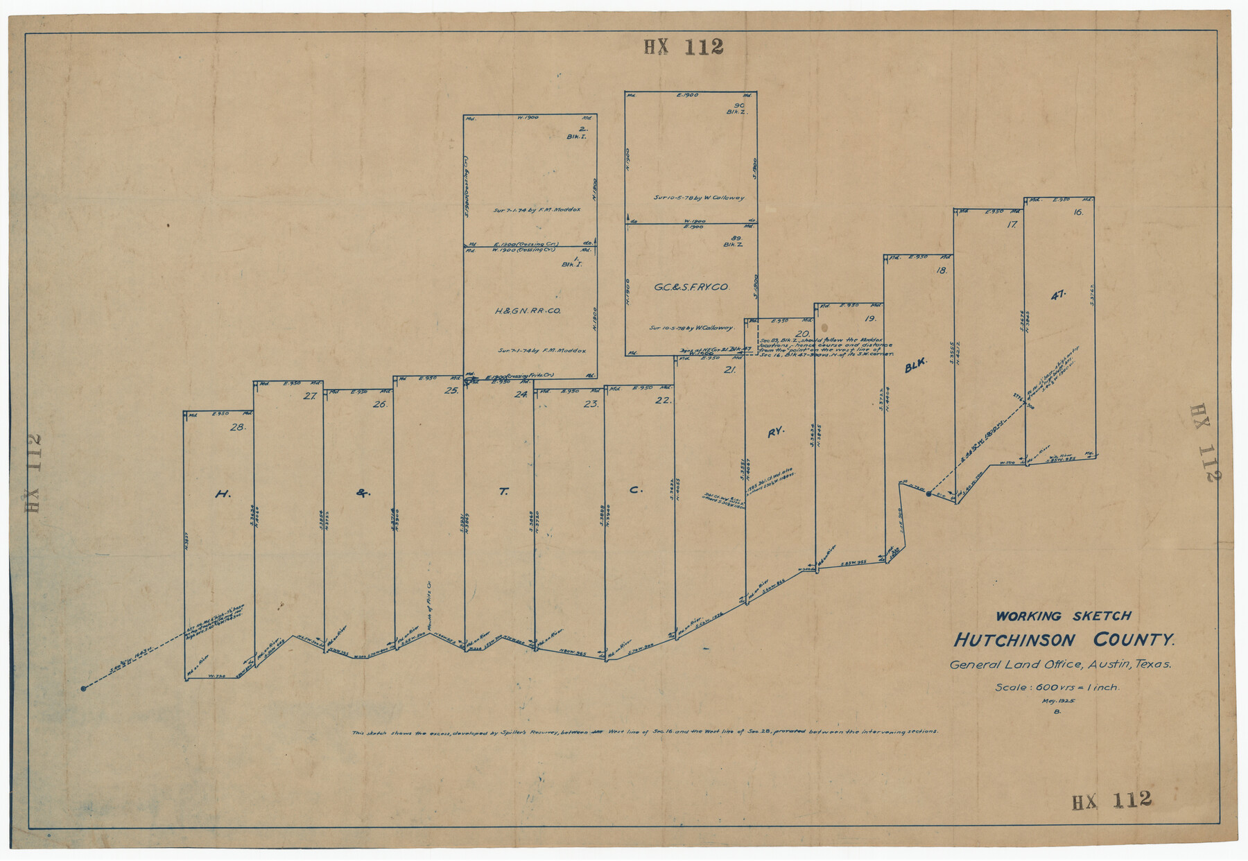
Working Sketch Hutchinson County
HX112
-
Map/Doc
92167
-
Collection
Twichell Survey Records
-
Object Dates
5/1925 (Creation Date)
-
Counties
Hutchinson
-
Height x Width
30.0 x 20.6 inches
76.2 x 52.3 cm
Part of: Twichell Survey Records
Working Sketch in Wichita County [in northern part of county]
![91992, Working Sketch in Wichita County [in northern part of county], Twichell Survey Records](https://historictexasmaps.com/wmedia_w700/maps/91992-1.tif.jpg)
Print $20.00
- Digital $50.00
Working Sketch in Wichita County [in northern part of county]
1919
Size 38.3 x 18.5 inches
Map/Doc 91992
[PSL Block B-19]
![89811, [PSL Block B-19], Twichell Survey Records](https://historictexasmaps.com/wmedia_w700/maps/89811-1.tif.jpg)
Print $40.00
- Digital $50.00
[PSL Block B-19]
Size 43.7 x 56.6 inches
Map/Doc 89811
Sketch showing resurvey of Blk 34 Tsp. 4 North

Print $20.00
- Digital $50.00
Sketch showing resurvey of Blk 34 Tsp. 4 North
1917
Size 20.8 x 24.5 inches
Map/Doc 90571
[Block Z and vicinity]
![91576, [Block Z and vicinity], Twichell Survey Records](https://historictexasmaps.com/wmedia_w700/maps/91576-1.tif.jpg)
Print $20.00
- Digital $50.00
[Block Z and vicinity]
1886
Size 32.4 x 11.6 inches
Map/Doc 91576
Sundown Located on Tracts Number 58 and 59 Bob Slaughter Block Hockley County, Texas

Print $20.00
- Digital $50.00
Sundown Located on Tracts Number 58 and 59 Bob Slaughter Block Hockley County, Texas
1928
Size 21.4 x 19.4 inches
Map/Doc 92233
[W. T. Brewer: M. McDonald, Ralph Gilpin, A. Vanhooser, John Baker, John R. Taylor Surveys]
![90965, [W. T. Brewer: M. McDonald, Ralph Gilpin, A. Vanhooser, John Baker, John R. Taylor Surveys], Twichell Survey Records](https://historictexasmaps.com/wmedia_w700/maps/90965-1.tif.jpg)
Print $2.00
- Digital $50.00
[W. T. Brewer: M. McDonald, Ralph Gilpin, A. Vanhooser, John Baker, John R. Taylor Surveys]
Size 8.9 x 11.3 inches
Map/Doc 90965
[H. & T. C. RR. Company, Block 47, Sections 47- 52]
![91411, [H. & T. C. RR. Company, Block 47, Sections 47- 52], Twichell Survey Records](https://historictexasmaps.com/wmedia_w700/maps/91411-1.tif.jpg)
Print $2.00
- Digital $50.00
[H. & T. C. RR. Company, Block 47, Sections 47- 52]
Size 8.6 x 11.1 inches
Map/Doc 91411
Map of Tascosa, Oldham County, Texas

Print $40.00
- Digital $50.00
Map of Tascosa, Oldham County, Texas
Size 34.8 x 66.8 inches
Map/Doc 89711
[Blocks K3-K8, K11]
![90507, [Blocks K3-K8, K11], Twichell Survey Records](https://historictexasmaps.com/wmedia_w700/maps/90507-1.tif.jpg)
Print $20.00
- Digital $50.00
[Blocks K3-K8, K11]
1887
Size 13.2 x 14.6 inches
Map/Doc 90507
![91836, [Block IT], Twichell Survey Records](https://historictexasmaps.com/wmedia_w700/maps/91836-1.tif.jpg)
[Blocks M19, M3 & M20]
![91819, [Blocks M19, M3 & M20], Twichell Survey Records](https://historictexasmaps.com/wmedia_w700/maps/91819-1.tif.jpg)
Print $20.00
- Digital $50.00
[Blocks M19, M3 & M20]
Size 47.3 x 20.0 inches
Map/Doc 91819
Map Showing Soash Lands in Castro, Lamb, and Hale Counties, Texas

Print $20.00
- Digital $50.00
Map Showing Soash Lands in Castro, Lamb, and Hale Counties, Texas
1907
Size 13.9 x 17.6 inches
Map/Doc 91000
You may also like
[Surveys on the San Marcos River]
![149, [Surveys on the San Marcos River], General Map Collection](https://historictexasmaps.com/wmedia_w700/maps/149.tif.jpg)
Print $20.00
- Digital $50.00
[Surveys on the San Marcos River]
Size 14.1 x 12.4 inches
Map/Doc 149
Harris County Rolled Sketch 86

Print $40.00
- Digital $50.00
Harris County Rolled Sketch 86
Size 50.4 x 43.9 inches
Map/Doc 73581
Map of Terry County

Print $20.00
- Digital $50.00
Map of Terry County
1917
Size 17.7 x 22.6 inches
Map/Doc 91874
Brazos Santiago, Texas

Print $20.00
- Digital $50.00
Brazos Santiago, Texas
1900
Size 18.2 x 27.1 inches
Map/Doc 73034
Val Verde County Sketch File Z13

Print $4.00
- Digital $50.00
Val Verde County Sketch File Z13
1898
Size 11.5 x 8.6 inches
Map/Doc 39142
Dickens County Sketch File 35

Print $10.00
- Digital $50.00
Dickens County Sketch File 35
1954
Size 11.2 x 8.9 inches
Map/Doc 64791
El Paso County Rolled Sketch 52

Print $20.00
- Digital $50.00
El Paso County Rolled Sketch 52
1929
Size 18.4 x 24.4 inches
Map/Doc 5844
Hardeman County Sketch File 14

Print $8.00
- Digital $50.00
Hardeman County Sketch File 14
1884
Size 12.7 x 8.1 inches
Map/Doc 25022
Tom Green County Rolled Sketch 10

Print $20.00
- Digital $50.00
Tom Green County Rolled Sketch 10
1949
Size 26.4 x 32.5 inches
Map/Doc 7997
Mills County Working Sketch Graphic Index

Print $20.00
- Digital $50.00
Mills County Working Sketch Graphic Index
1976
Size 35.6 x 45.1 inches
Map/Doc 76643
Flight Mission No. DIX-10P, Frame 63, Aransas County

Print $20.00
- Digital $50.00
Flight Mission No. DIX-10P, Frame 63, Aransas County
1956
Size 18.7 x 22.3 inches
Map/Doc 83924
Cottle County Working Sketch 9

Print $20.00
- Digital $50.00
Cottle County Working Sketch 9
1919
Size 33.3 x 32.1 inches
Map/Doc 68319